Impossible de charger la disponibilité du service de retrait
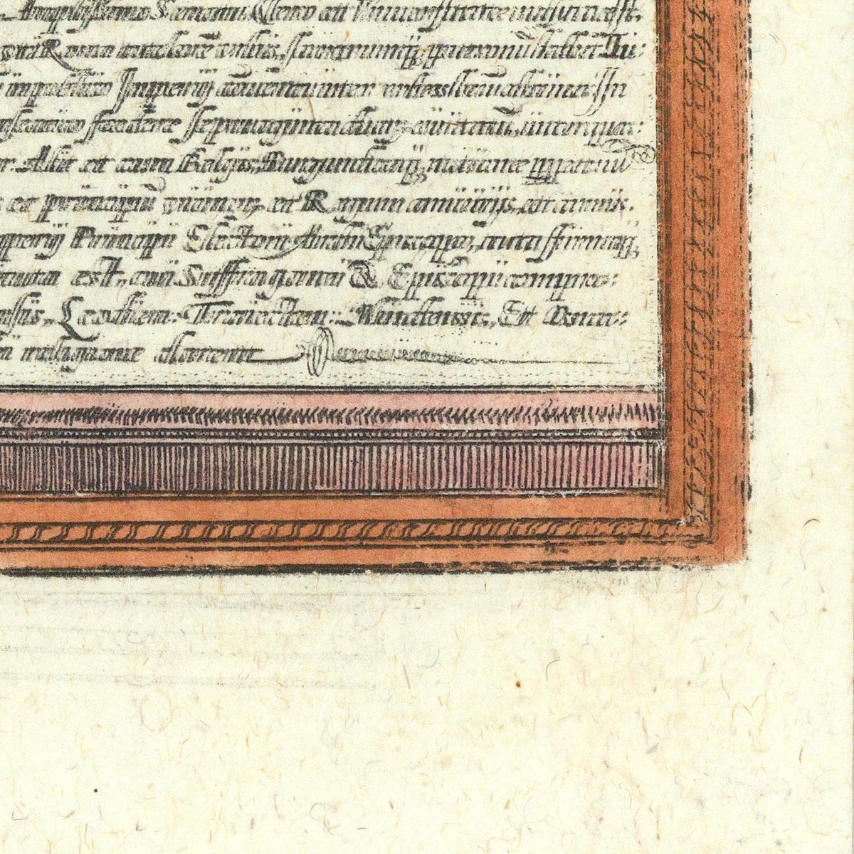
Cologne (Köln) is one of the finest early panoramic views of the great Rhineland city of Cologne, published in 1572 by the distinguished cartographer Georg Braun and master engraver Frans Hogenberg. Appearing in the first volume of the celebrated Civitates Orbis Terrarum, the first comprehensive atlas devoted exclusively to the cities of the world, this engraving stands among the most important urban views of the Renaissance and remains an enduring masterpiece of sixteenth-century cartography.
The panoramic composition presents Cologne from an elevated perspective along the banks of the Rhine River, capturing the city's impressive medieval skyline enclosed within formidable defensive walls. At the time, Cologne was one of the largest and wealthiest cities of the Holy Roman Empire, renowned as a thriving commercial center, ecclesiastical capital, and major hub of river trade. Its strategic location on the Rhine made it a crossroads for merchants traveling between Northern Europe and the Mediterranean.
Find more maps of Georg Braun & Frans Hogenberg
Dominating the skyline is the magnificent Cologne Cathedral. Although its construction had begun in 1248, the cathedral remained unfinished in 1572, with only parts of its Gothic structure completed. Braun and Hogenberg faithfully depict the building as it appeared during the Renaissance, providing historians with an invaluable visual record centuries before its completion in the nineteenth century.
The engraving meticulously illustrates Cologne's dense network of churches, monasteries, civic buildings, towers, and narrow streets, reflecting its reputation as one of Europe's foremost religious centers. More than a dozen Romanesque churches rise above the rooftops, emphasizing the city's nickname as the "Holy Cologne." The bustling Rhine waterfront is filled with ships, docks, warehouses, and merchant activity, highlighting the importance of trade to the city's prosperity.
Executed with remarkable precision, Frans Hogenberg's masterful copperplate engraving combines artistic elegance with careful topographical observation. Decorative cartouches, finely engraved architectural details, and a harmonious composition exemplify the exceptional quality that made the Civitates Orbis Terrarum one of the greatest publishing achievements of the Renaissance.
Materials
Materials
Cotton canvas, matte photo paper, fine art paper, pigmented inks.
- The canvas it's 99 % cotton, 450 gr/sqm;
- The matte photo paper it's acid-free (archival paper), 190 gr/sqm;
- The fine art photo paper it's satinated (semi-glossy), 140 gr/sqm.
Shipping & Returns
Shipping & Returns
Dispatching time: 1-2 days.
* Standard shipping fee: The orders will be sent by priority registered mail, usually via client National Post (USPS, Canada Post, Royal Mail, LaPoste, Deutsche Post, PostNL, etc). The delivery times are not guaranteed, sometimes it will take longer and these are beyond our control. Tracking number will be provided. Clients from US and Canada cannot track the parcels as the tracking numbers are not rolled in USPS and Canada Post systems.
* UPS standard: The orders will be sent with UPS expedited option. The delivery time it's between 5-11 days. Tracking number will be provided after dispatch.
* UPS express: The orders will be sent with UPS express saver. The delivery time it's between 4-7 days. Tracking number will be provided after dispatch.
Framing tips
Framing tips
Both type of materials, paper and canvas prints come rolled and will be need to be taken to your local framers.
The image it's printed with a border of 0.6 " (1.5 cm), for framing purposes only.
If you have already a frame, be sure you send us the exact size of the print that will fit inside the frame. We're printing on vectorial plotters so the size could slightly be more or less with 0.4" (1 cm).
If you plan to have the canvas print stretched on wooden frame, you'll need additional border, so please let us know after placing the order.
The images above was cropped from the image at the biggest size available (keeping the best quality and aspect /ratio), so, for good details please choose biggest dimensions that will suit your preferences / space.
Care Instructions
Care Instructions
The print media (canvas or photo paper) could be cleaned only with a dry, soft cloth.
Share

Wine maps
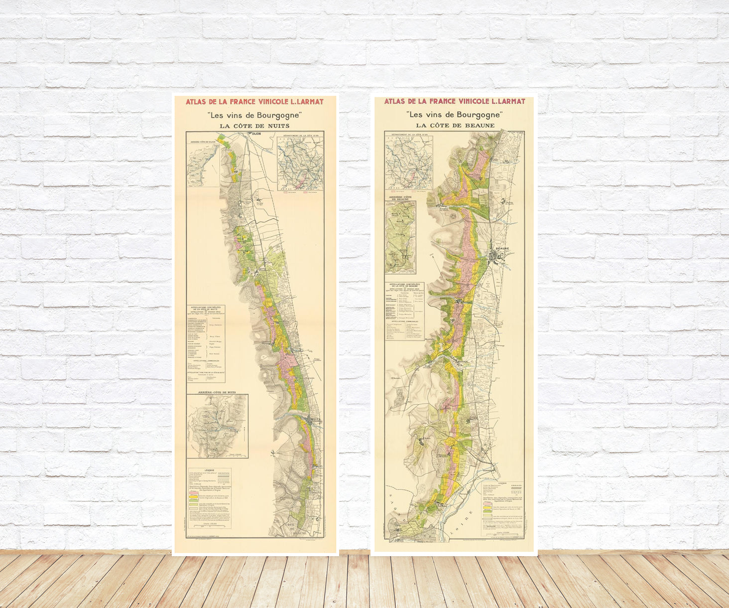
Explore the rich history of wine through centuries-old maps. Dive into the heritage, culture, and geography of wine regions with our collection of vintage wine maps.
These meticulously preserved historical treasures offer a window into the evolution of viticulture, showcasing how wine regions have transformed over the centuries.
-
Gastronomic maps
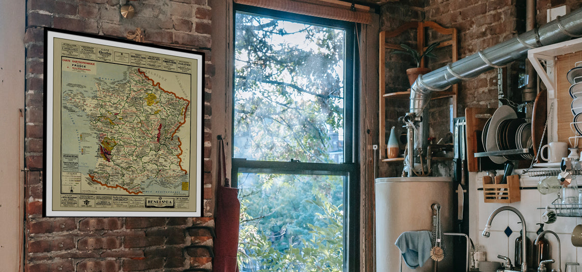
Dive into a world of culinary exploration with our collection of gastronomic maps – your passport to gastronomic adventures like no other. Discover the intricate art of cheese-making and the exquisite world of gourmet delights through our meticulously curated Cheese Maps and Gastronomic Maps.
-
Empires maps
Travel through history as you explore the territorial expanse, conquests, and cultural influences of some of the world's most powerful civilizations. Our antique maps bring the epic tales of empires to life, offering a captivating glimpse into the rise and fall of these extraordinary realms. See all empires maps >