


Verfügbarkeit für Abholungen konnte nicht geladen werden
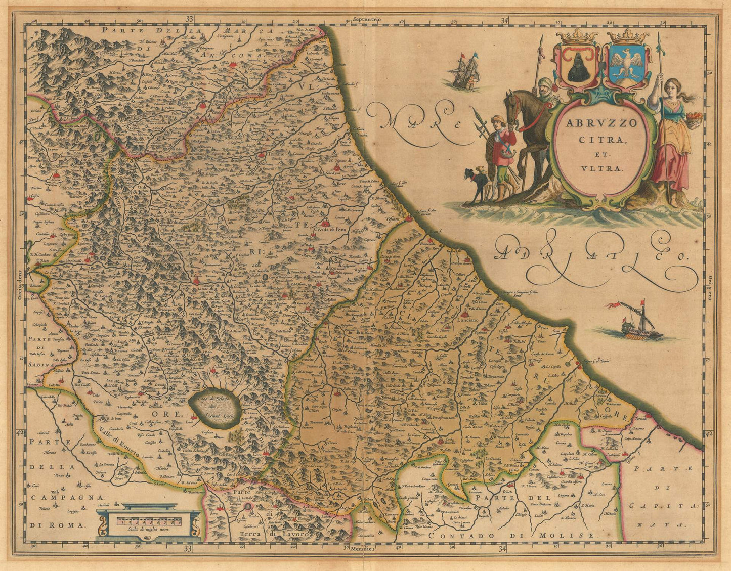
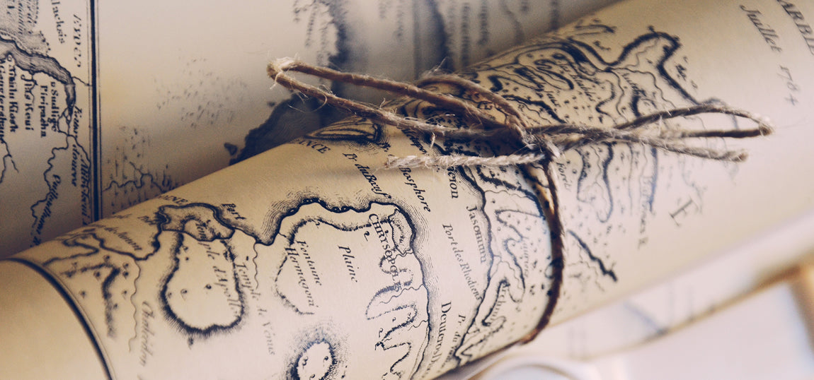
Willem Janszoon Blaeu’s Abruzzo Citra et Ultra, published in 1640, is a stunning and highly detailed map of the Abruzzo region in central Italy. Created during the Golden Age of Dutch cartography, this map reflects Blaeu’s mastery of combining geographic accuracy with artistic elegance, making it both a functional document and a work of art.
The map divides Abruzzo into its two historical regions: Abruzzo Citra (the area closer to Rome, to the west) and Abruzzo Ultra (the area further to the east, closer to the Adriatic Sea). It carefully depicts the mountainous terrain of the Apennines, which dominate the region, along with rivers, valleys, and settlements. Major towns such as L’Aquila, Teramo, and Chieti are prominently labeled, as are smaller villages, castles, and important roads that connected this rugged, historically significant region.
Blaeu’s meticulous craftsmanship is evident in the fine engraving, precise labeling, and detailed topographical elements. Mountain ranges are rendered in a three-dimensional, stylized fashion typical of 17th-century maps, while rivers such as the Pescara and Tronto are elegantly traced across the landscape. The Adriatic coastline is depicted with particular care, including harbors and coastal settlements, emphasizing the region's strategic importance for trade and defense.
A hallmark of Blaeu’s work, the map includes decorative elements that enhance its visual appeal. The title cartouche is an ornate masterpiece, often adorned with cherubs, allegorical figures, and local symbols, such as grapevines or olive branches, to reflect the culture and economy of the region. Compass roses, scale bars, and sailing ships along the Adriatic Sea contribute to the map’s charm and maritime focus.
This map was part of Blaeu’s influential Atlas Novus, a monumental multi-volume atlas that set new standards for cartography in the 17th century. Abruzzo Citra et Ultra is a testament to Blaeu’s ability to blend science, art, and geography, offering an invaluable glimpse into the historical and physical landscape of Abruzzo.
Materials
Materials
Cotton canvas, matte photo paper, fine art paper, pigmented inks.
- The canvas it's 99 % cotton, 450 gr/sqm;
- The matte photo paper it's acid-free (archival paper), 190 gr/sqm;
- The fine art photo paper it's satinated (semi-glossy), 140 gr/sqm.
Shipping & Returns
Shipping & Returns
Dispatching time: 1-2 days.
* Standard shipping fee: The orders will be sent by priority registered mail, usually via client National Post (USPS, Canada Post, Royal Mail, LaPoste, Deutsche Post, PostNL, etc). The delivery times are not guaranteed, sometimes it will take longer and these are beyond our control. Tracking number will be provided. Clients from US and Canada cannot track the parcels as the tracking numbers are not rolled in USPS and Canada Post systems.
* UPS standard: The orders will be sent with UPS expedited option. The delivery time it's between 5-11 days. Tracking number will be provided after dispatch.
* UPS express: The orders will be sent with UPS express saver. The delivery time it's between 4-7 days. Tracking number will be provided after dispatch.
Framing tips
Framing tips
Both type of materials, paper and canvas prints come rolled and will be need to be taken to your local framers.
The image it's printed with a border of 0.6 " (1.5 cm), for framing purposes only.
If you have already a frame, be sure you send us the exact size of the print that will fit inside the frame. We're printing on vectorial plotters so the size could slightly be more or less with 0.4" (1 cm).
If you plan to have the canvas print stretched on wooden frame, you'll need additional border, so please let us know after placing the order.
The images above was cropped from the image at the biggest size available (keeping the best quality and aspect /ratio), so, for good details please choose biggest dimensions that will suit your preferences / space.
Care Instructions
Care Instructions
The print media (canvas or photo paper) could be cleaned only with a dry, soft cloth.


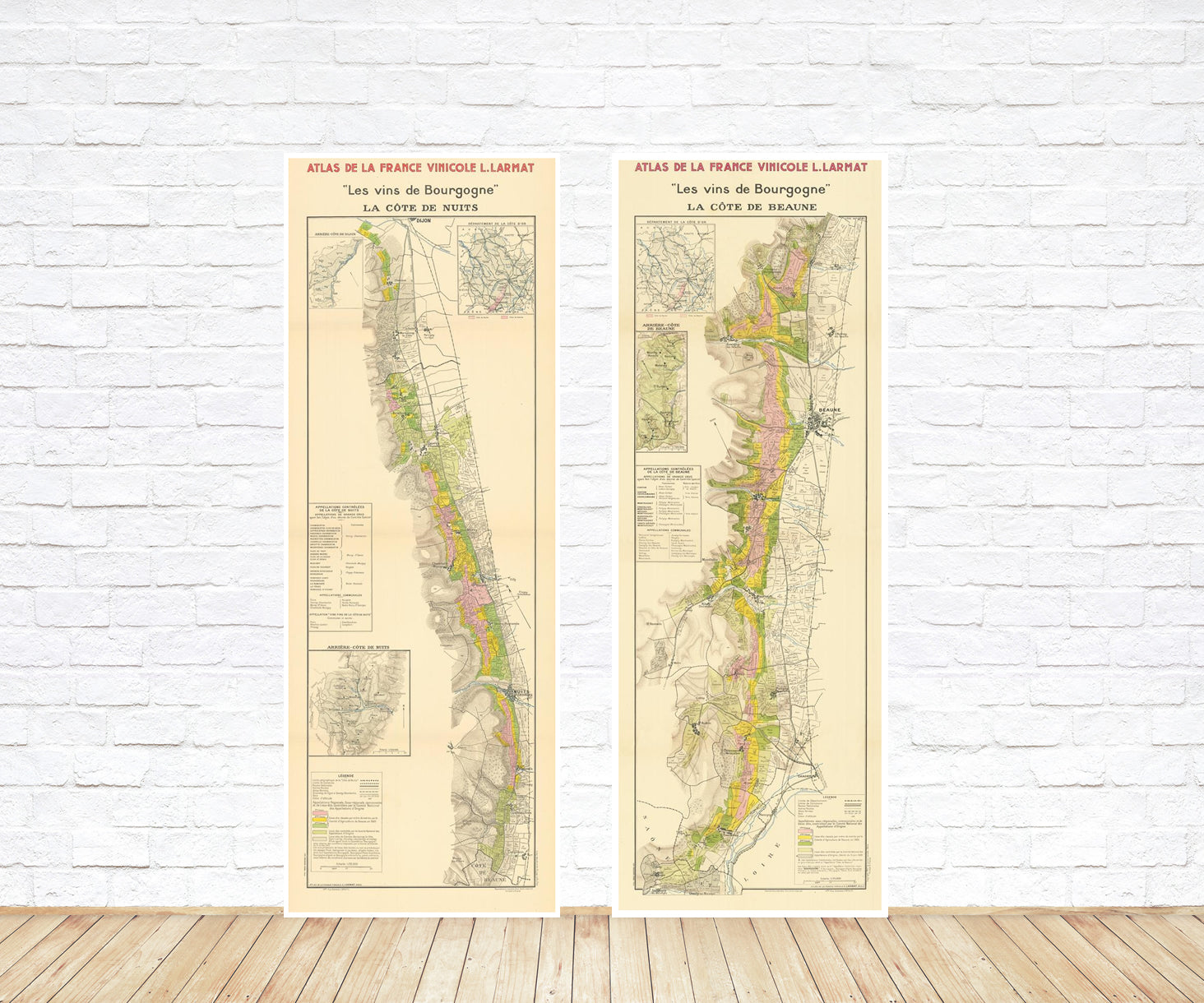
Wine maps
Explore the rich history of wine through centuries-old maps. Dive into the heritage, culture, and geography of wine regions with our collection of vintage wine maps.
These meticulously preserved historical treasures offer a window into the evolution of viticulture, showcasing how wine regions have transformed over the centuries.
-
Gastronomic maps
Dive into a world of culinary exploration with our collection of gastronomic maps – your passport to gastronomic adventures like no other. Discover the intricate art of cheese-making and the exquisite world of gourmet delights through our meticulously curated Cheese Maps and Gastronomic Maps.
-
Empires maps
Travel through history as you explore the territorial expanse, conquests, and cultural influences of some of the world's most powerful civilizations. Our antique maps bring the epic tales of empires to life, offering a captivating glimpse into the rise and fall of these extraordinary realms. See all empires maps >

