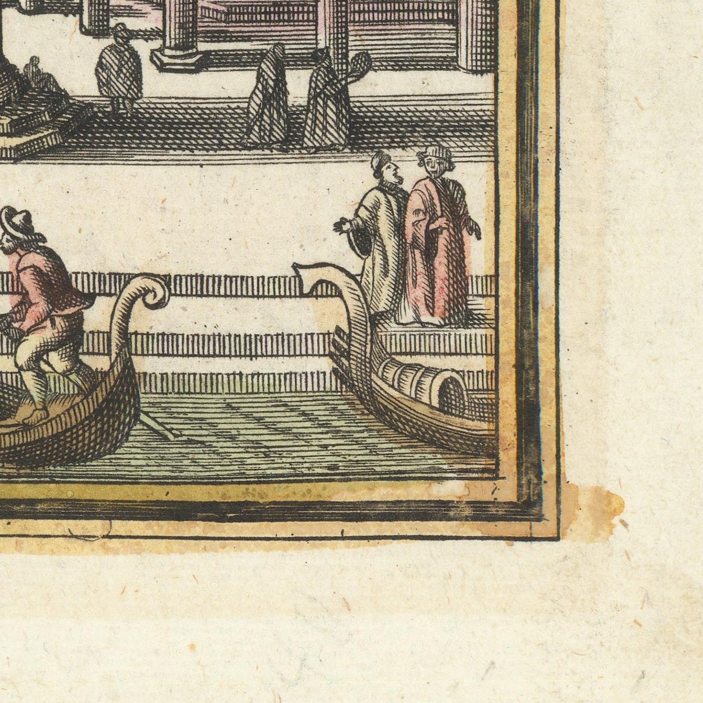
The 1730 map of Venice by Matthäus Seutter is a superb example of high-Baroque European cartography, combining geographic precision with theatrical visual design. Seutter, an Augsburg-based engraver and publisher who held the imperial title of Geographus Augustae Vindelicorum, produced maps not merely as navigational tools but as instruments of prestige, intended for princes, diplomats, and learned collectors. His Venice map presents the city at the height of its late-Republican splendor, when it remained one of Europe’s great commercial and cultural capitals.
The map depicts Venice and its lagoon in a carefully measured bird’s-eye plan, with the dense fabric of islands, canals, and bridges rendered in meticulous detail. Major landmarks—the Doge’s Palace, St Mark’s Basilica, the Arsenal, the Rialto Bridge, and the Grand Canal—are clearly identifiable, reinforcing Venice’s identity as both a political state and a marvel of urban engineering. The surrounding lagoon, with its shoals, islands, and navigational channels, emphasizes how the city’s survival depended on the delicate control of water and maritime access.
Seutter’s engraving is framed by rich Baroque ornamentation. Allegorical figures, coats of arms, and elaborate cartouches surround the map, transforming it into a visual statement about Venice’s power, history, and legitimacy. These decorative elements link the city to classical ideals of commerce, wisdom, and dominion over the seas, themes that were central to Venetian self-representation.
By 1730, Venice’s political influence was in gradual decline, but its symbolic authority remained immense. Seutter’s map reflects this paradox: it presents a city that appears timeless, ordered, and sovereign, even as European power was shifting toward Atlantic empires. As both a geographic document and a work of visual propaganda, the map captures Venice not just as a place, but as an enduring idea—La Serenissima, mistress of the Adriatic and heir to a thousand years of maritime glory.