Verfügbarkeit für Abholungen konnte nicht geladen werden
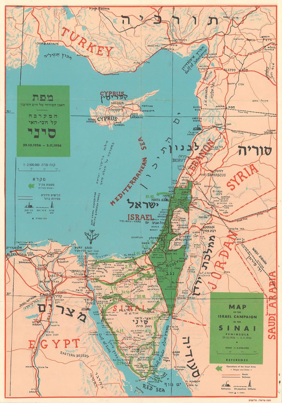
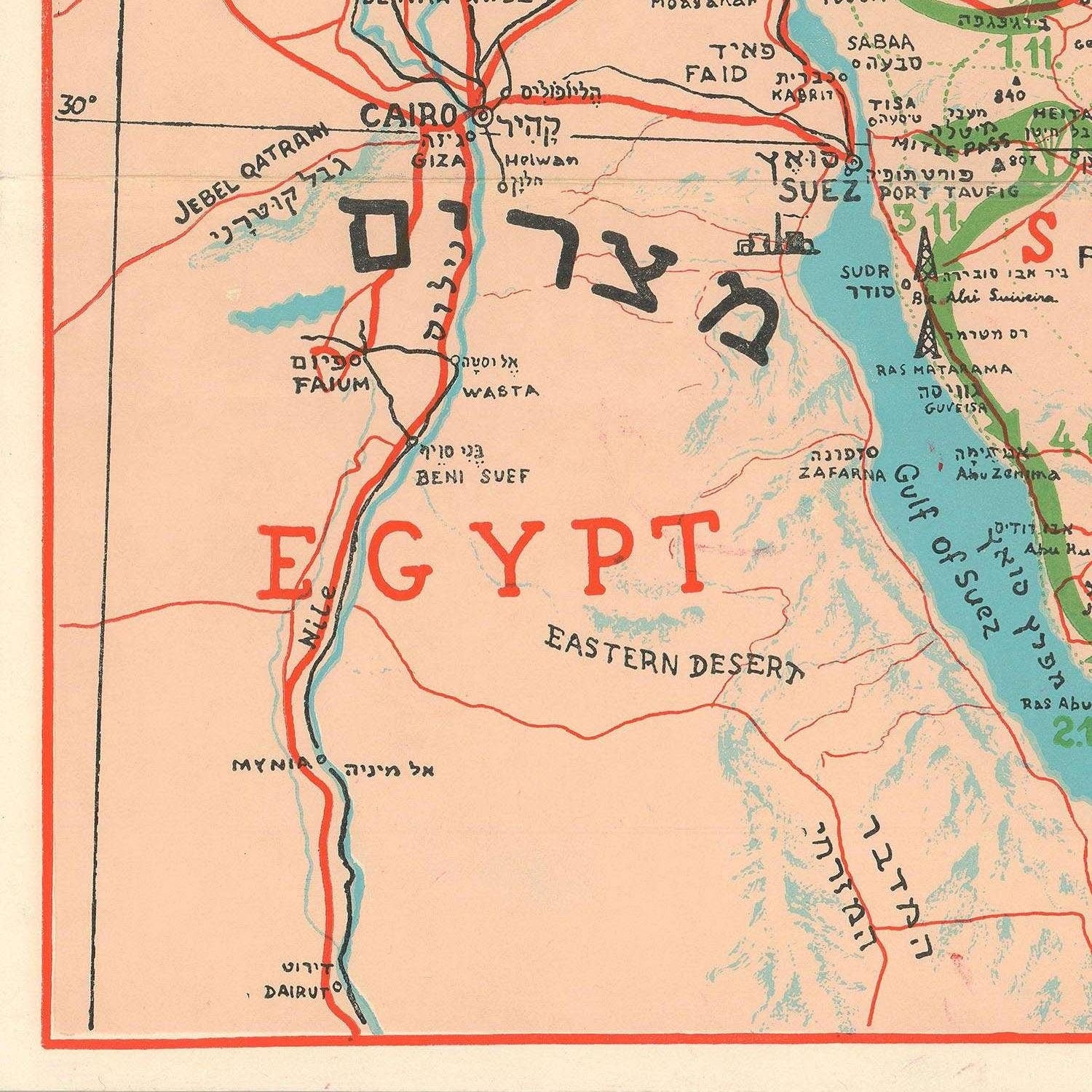
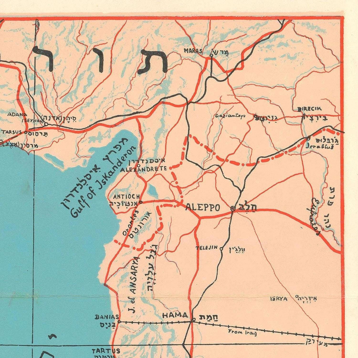
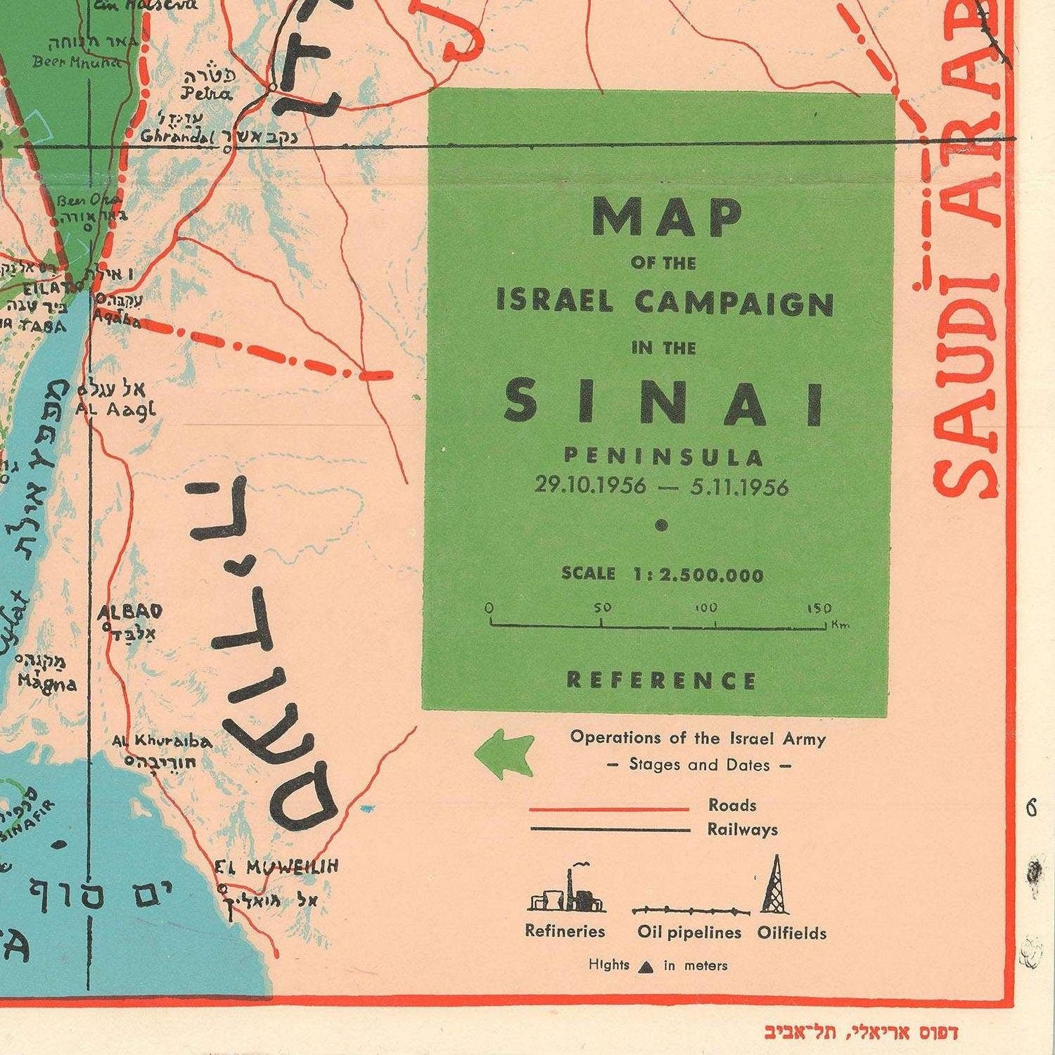
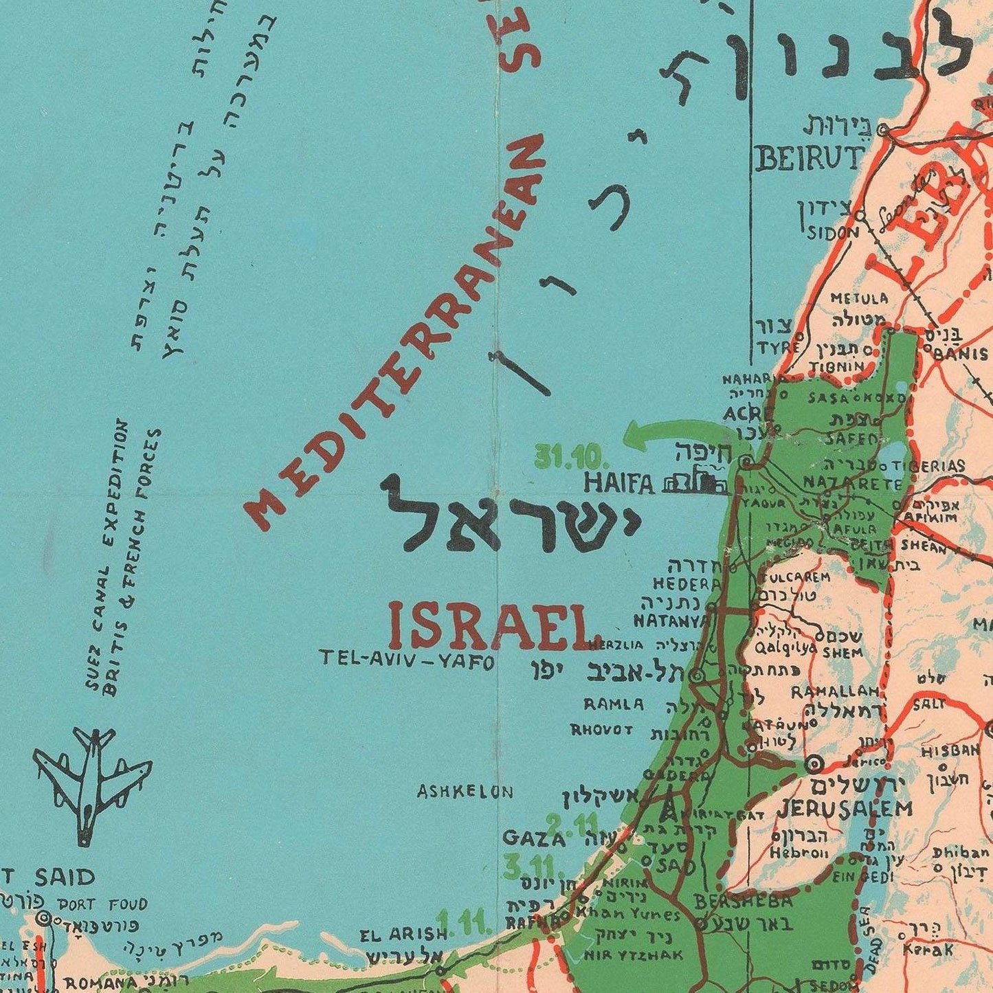
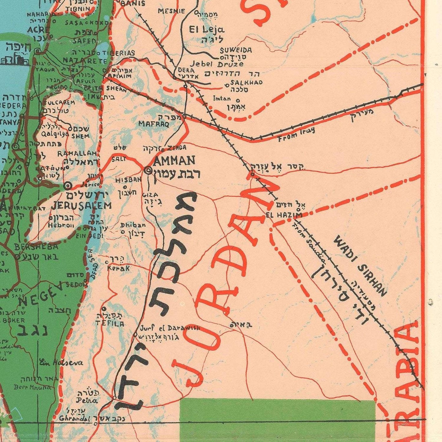
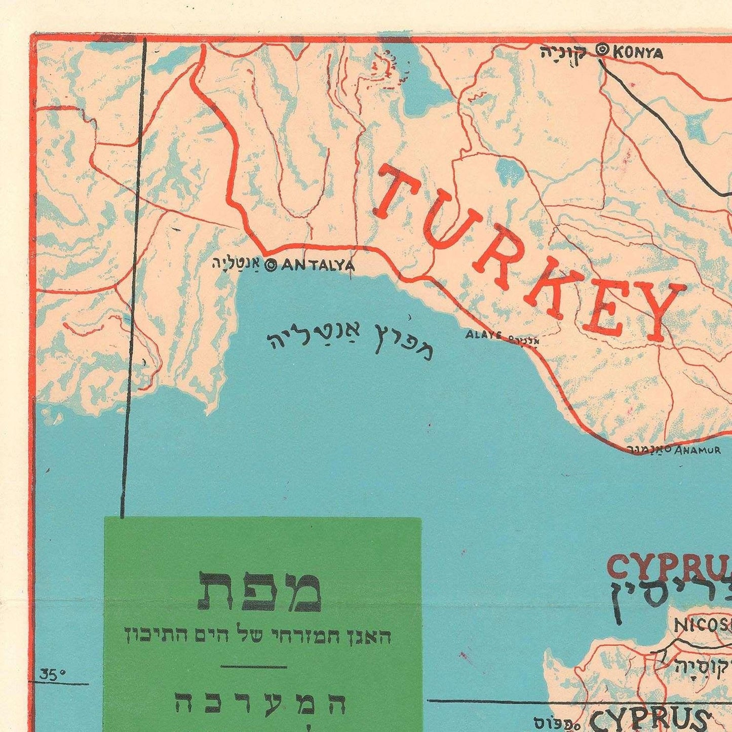
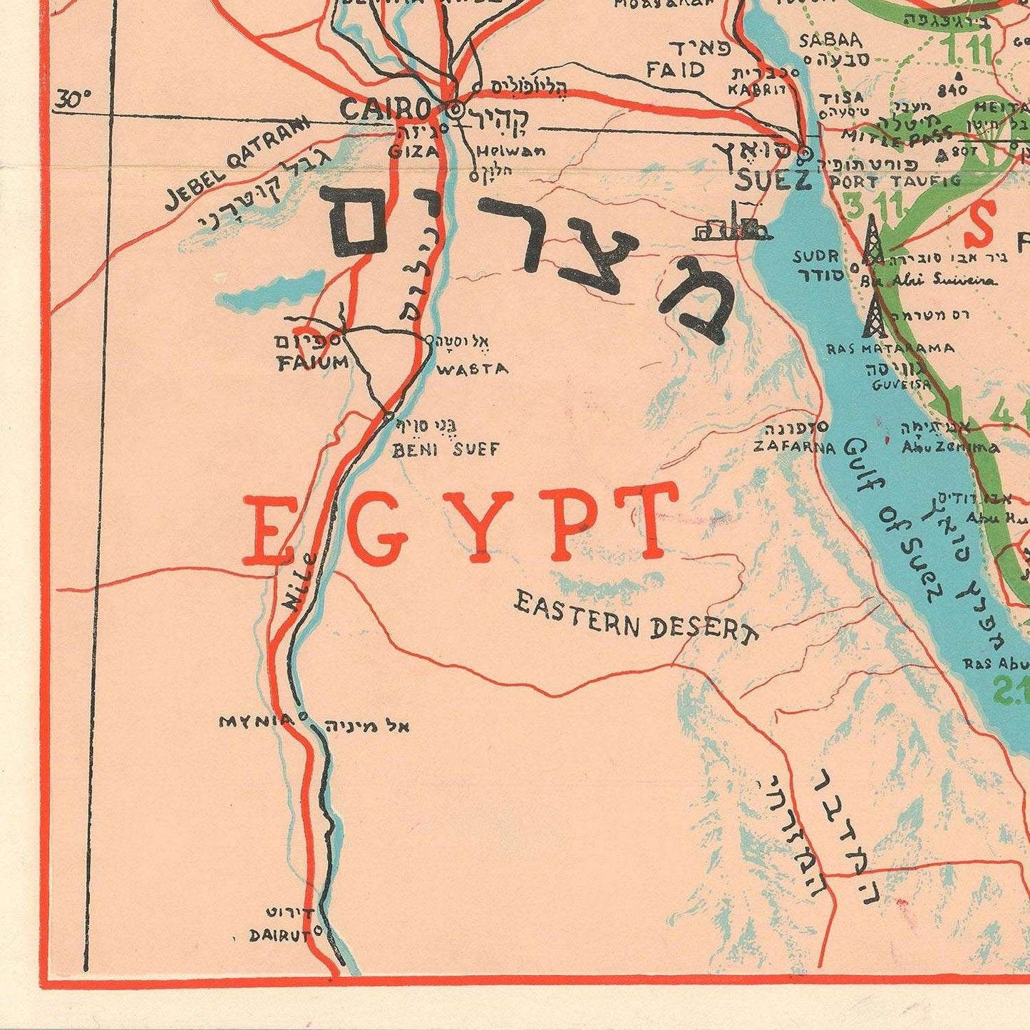
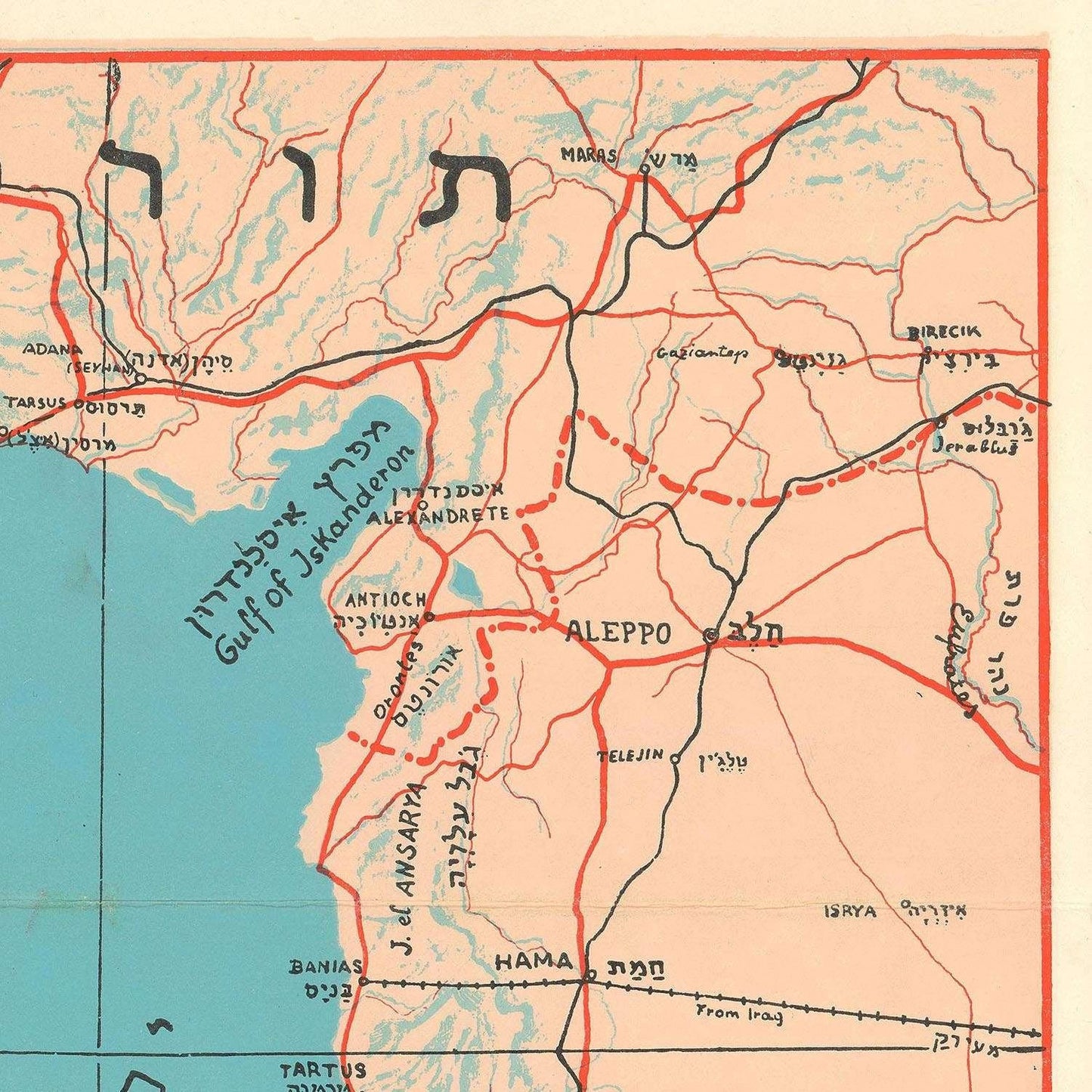
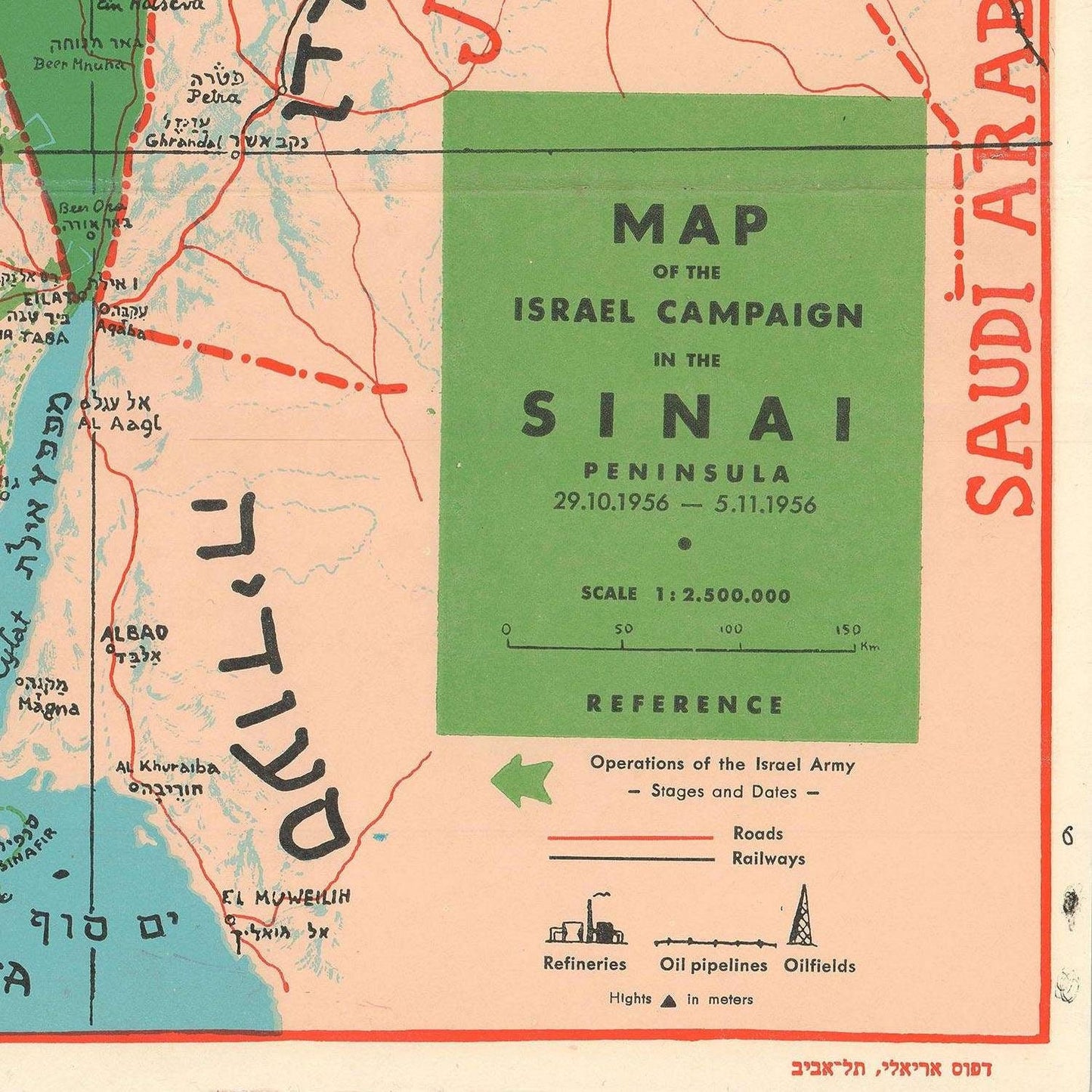
In the annals of historical cartography, the map of the Middle East occupies a prominent place. It is a remarkable artifact that vividly captures a pivotal moment in the turbulent history of the region. Produced during the Suez Crisis, this bilingual map, with text in both English and Hebrew, is a testament to the power of cartography in illuminating complex geopolitical events.
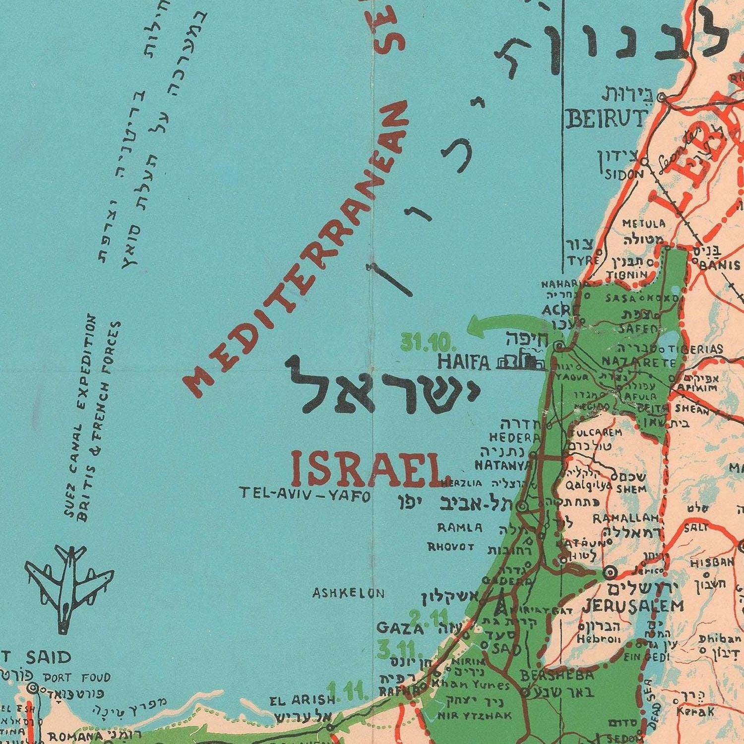
The map's central focus is the state of Israel, a young nation grappling with the intricacies of its neighborhood. It is situated during the Suez Crisis, a defining episode in Middle Eastern history. The cartographic canvas highlights the advances of Israeli forces as they surged across the Sinai Peninsula, marking a significant chapter in Israel's military history.
The cartographer, Dr. Joseph Szapiro meticulously etched the positions of key players onto the map. It portrays not only the Israeli advancements but also the strategic dispositions of Egyptian, British, and French forces. Each force's placement is an intricate piece in the geopolitical chessboard that was the Suez Crisis.
The Israeli forces, determined and audacious, are depicted as arrows surging eastward across the Sinai, underscoring their swift and decisive campaign. Meanwhile, the Egyptian positions are delineated with equal precision, reflecting their defensive efforts and the challenges they faced. British and French forces, crucial actors in this drama, are also clearly marked, illustrating their involvement in this multifaceted conflict.
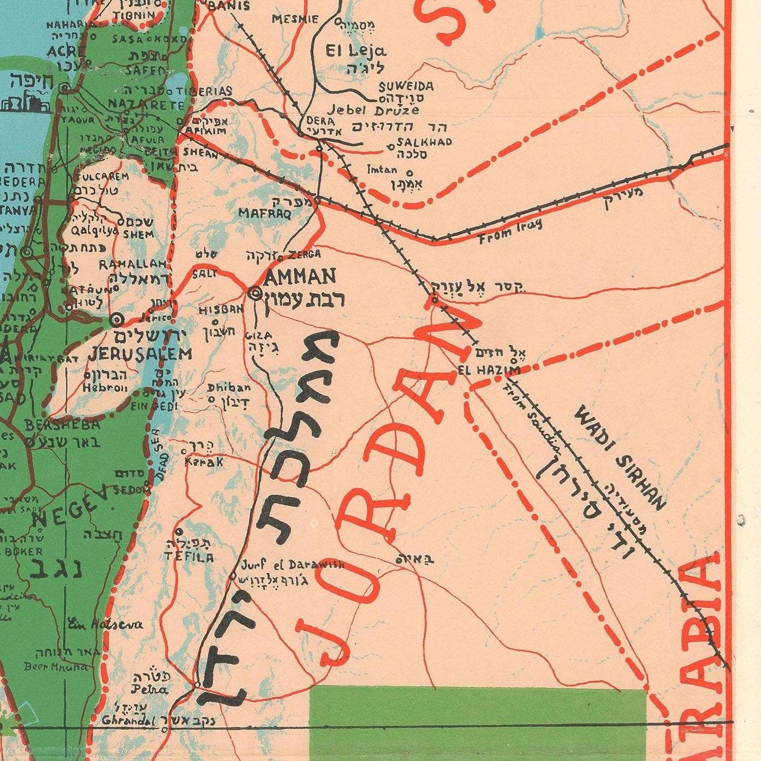
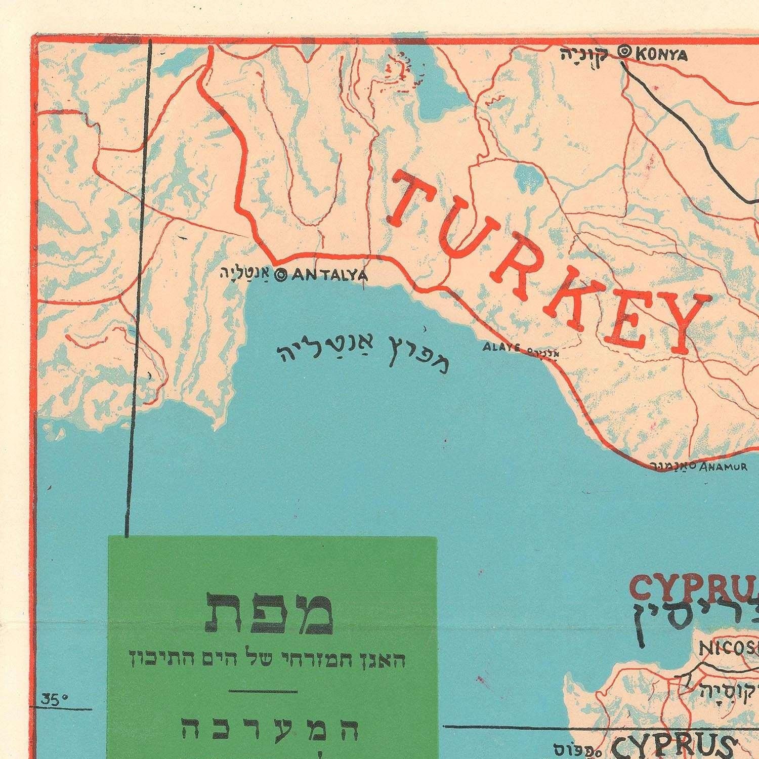
One of the map's distinguishing features is its bilingual character, with text thoughtfully rendered in both English and Hebrew. This linguistic duality broadens its accessibility and underscores the map's significance in both international and Israeli contexts.
The English text, a nod to the global audience, serves as a bridge to understanding the complexities of the Suez Crisis for those not fluent in Hebrew. Conversely, the Hebrew text anchors the map in its Israeli context, ensuring that this historical record resonates deeply with the nation it primarily concerns. This linguistic harmony is a subtle yet powerful aspect of the map's design.
The Suez Crisis was a seismic event in the history of the Middle East. It marked a confluence of colonial legacies, Cold War politics, and regional aspirations. The map provides an invaluable visual representation of these multifaceted dynamics. It allows us to trace the ebbs and flows of power, the strategic moves on the geopolitical chessboard, and the shifting sands of alliances during this tumultuous period.
In conclusion, the map of the Middle East During the Suez Crisis is not merely a cartographic rendering; it is a historical treasure. Through its elegant bilingual design, meticulous detailing of military movements, and its place in the timeline of the Suez Crisis, this map serves as a powerful reminder of the importance of cartography in shaping our understanding of the past. It encapsulates the essence of an era and remains an enduring testament to the enduring impact of the Suez Crisis on the Middle East.
Materials
Materials
Cotton canvas, matte photo paper, fine art paper, pigmented inks.
- The canvas it's 99 % cotton, 450 gr/sqm;
- The matte photo paper it's acid-free (archival paper), 190 gr/sqm;
- The fine art photo paper it's satinated (semi-glossy), 140 gr/sqm.
Shipping & Returns
Shipping & Returns
Dispatching time: 1-2 days.
* Standard shipping fee: The orders will be sent by priority registered mail, usually via client National Post (USPS, Canada Post, Royal Mail, LaPoste, Deutsche Post, PostNL, etc). The delivery times are not guaranteed, sometimes it will take longer and these are beyond our control. Tracking number will be provided. Clients from US and Canada cannot track the parcels as the tracking numbers are not rolled in USPS and Canada Post systems.
* UPS standard: The orders will be sent with UPS expedited option. The delivery time it's between 5-11 days. Tracking number will be provided after dispatch.
* UPS express: The orders will be sent with UPS express saver. The delivery time it's between 4-7 days. Tracking number will be provided after dispatch.
Framing tips
Framing tips
Both type of materials, paper and canvas prints come rolled and will be need to be taken to your local framers.
The image it's printed with a border of 0.6 " (1.5 cm), for framing purposes only.
If you have already a frame, be sure you send us the exact size of the print that will fit inside the frame. We're printing on vectorial plotters so the size could slightly be more or less with 0.4" (1 cm).
If you plan to have the canvas print stretched on wooden frame, you'll need additional border, so please let us know after placing the order.
The images above was cropped from the image at the biggest size available (keeping the best quality and aspect /ratio), so, for good details please choose biggest dimensions that will suit your preferences / space.
Care Instructions
Care Instructions
The print media (canvas or photo paper) could be cleaned only with a dry, soft cloth.
Share
Wine maps
Explore the rich history of wine through centuries-old maps. Dive into the heritage, culture, and geography of wine regions with our collection of vintage wine maps.
These meticulously preserved historical treasures offer a window into the evolution of viticulture, showcasing how wine regions have transformed over the centuries.
-

Gastronomic maps
Dive into a world of culinary exploration with our collection of gastronomic maps – your passport to gastronomic adventures like no other. Discover the intricate art of cheese-making and the exquisite world of gourmet delights through our meticulously curated Cheese Maps and Gastronomic Maps.
-

Empires maps
Travel through history as you explore the territorial expanse, conquests, and cultural influences of some of the world's most powerful civilizations. Our antique maps bring the epic tales of empires to life, offering a captivating glimpse into the rise and fall of these extraordinary realms. See all empires maps >

