Verfügbarkeit für Abholungen konnte nicht geladen werden
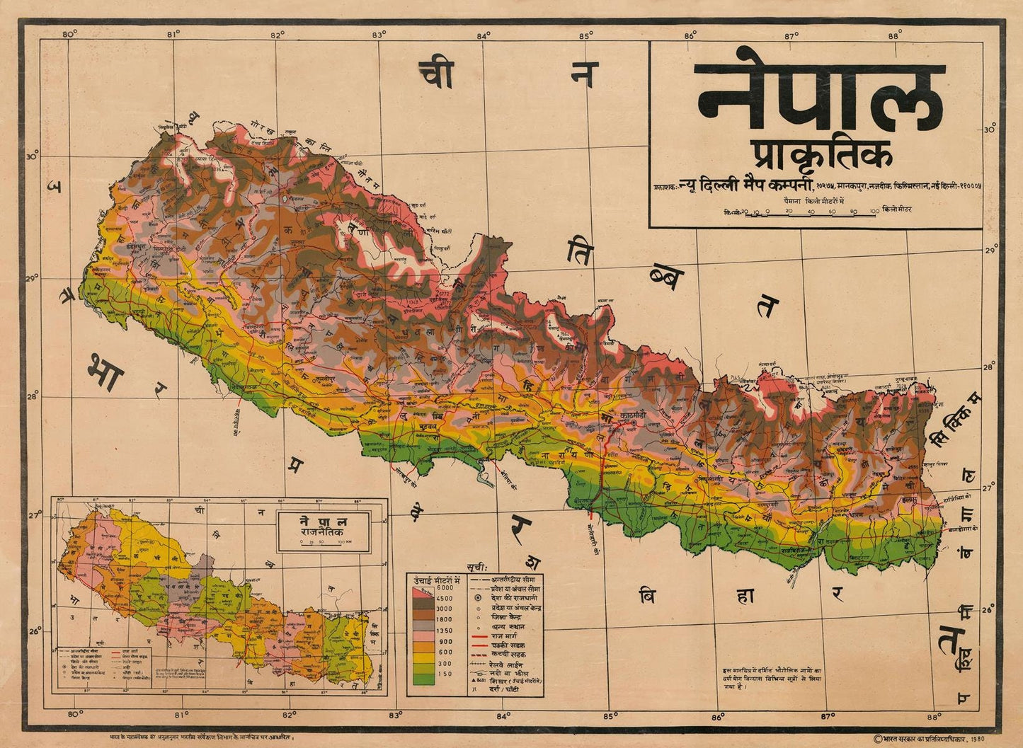
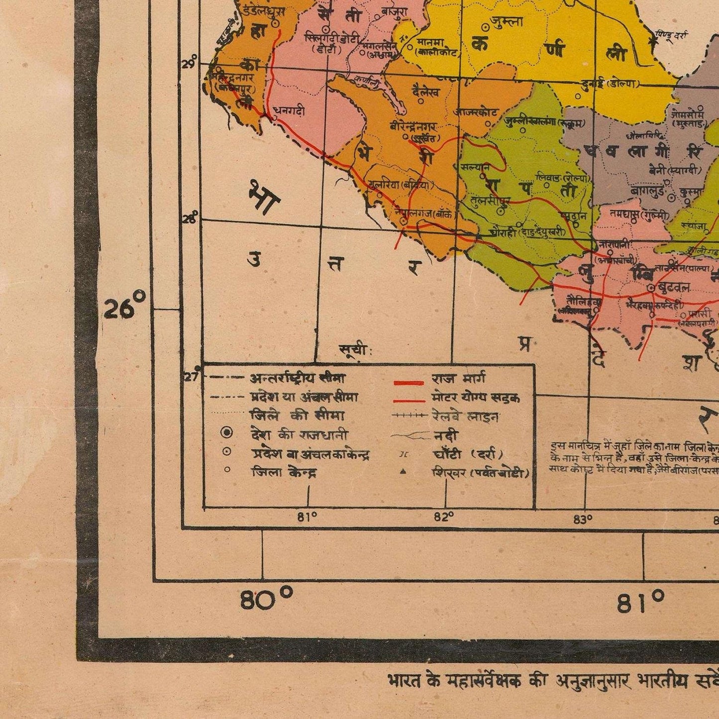
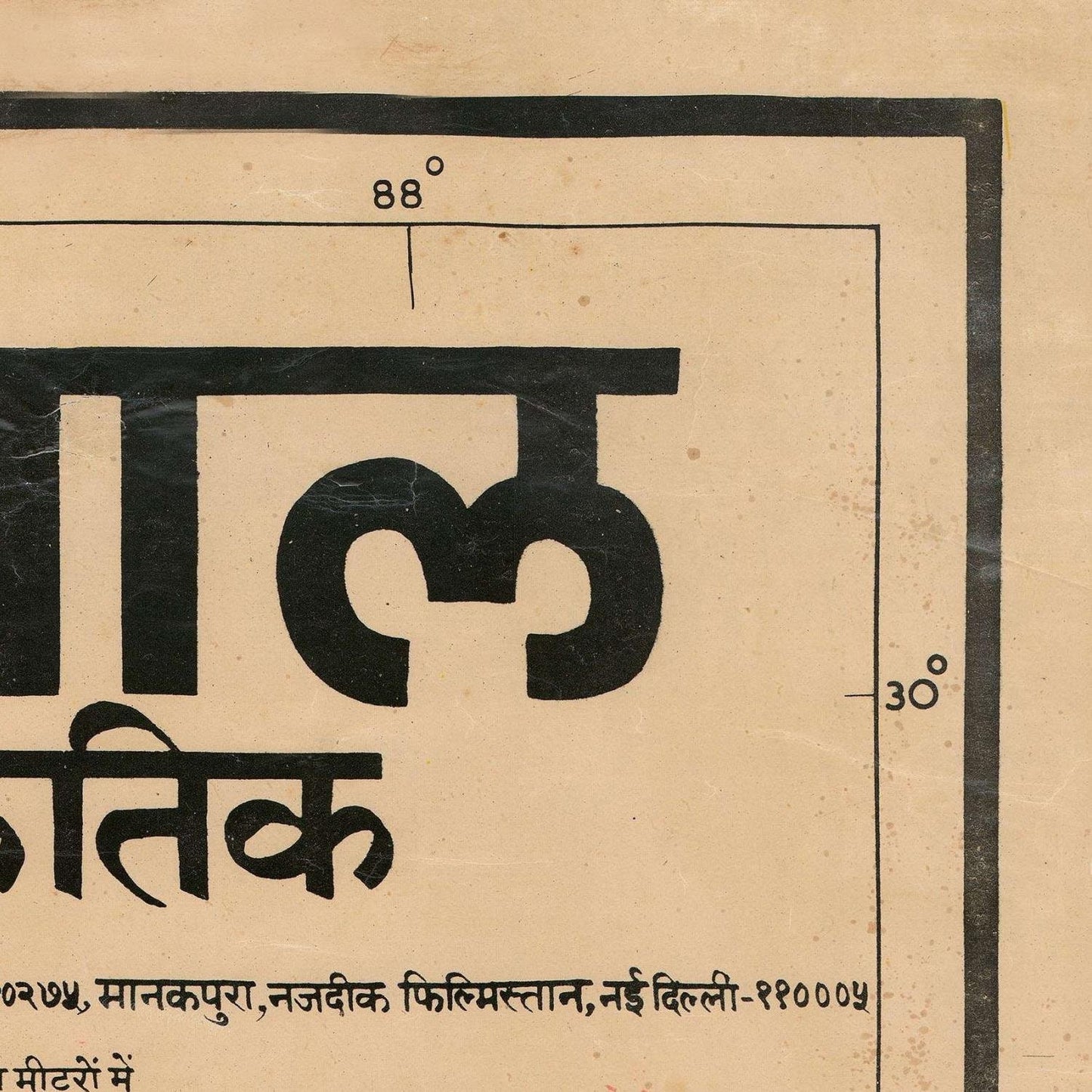
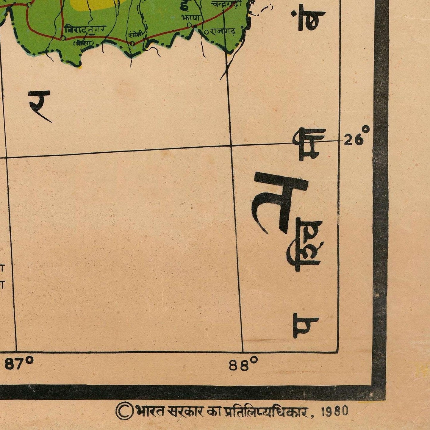
The Topographical Map of Nepal stands as an invaluable treasure trove of geographical information, offering a comprehensive portrayal of Nepal and its neighboring Himalayan expanse. This meticulously crafted map captures the nation's essence through a symphony of colors and symbols, making it a significant historical document that encapsulates both the evolving state of Nepal and its breathtaking natural beauty.
Encompassing the entirety of Nepal, from the Terai lowlands to the towering Himalayas and extending to the Tibetan plateau, this map provides a holistic view of the nation's diverse topography. It serves as a testament to the cartographer's dedication to precision, ensuring that every nook and cranny of Nepal is represented accurately.
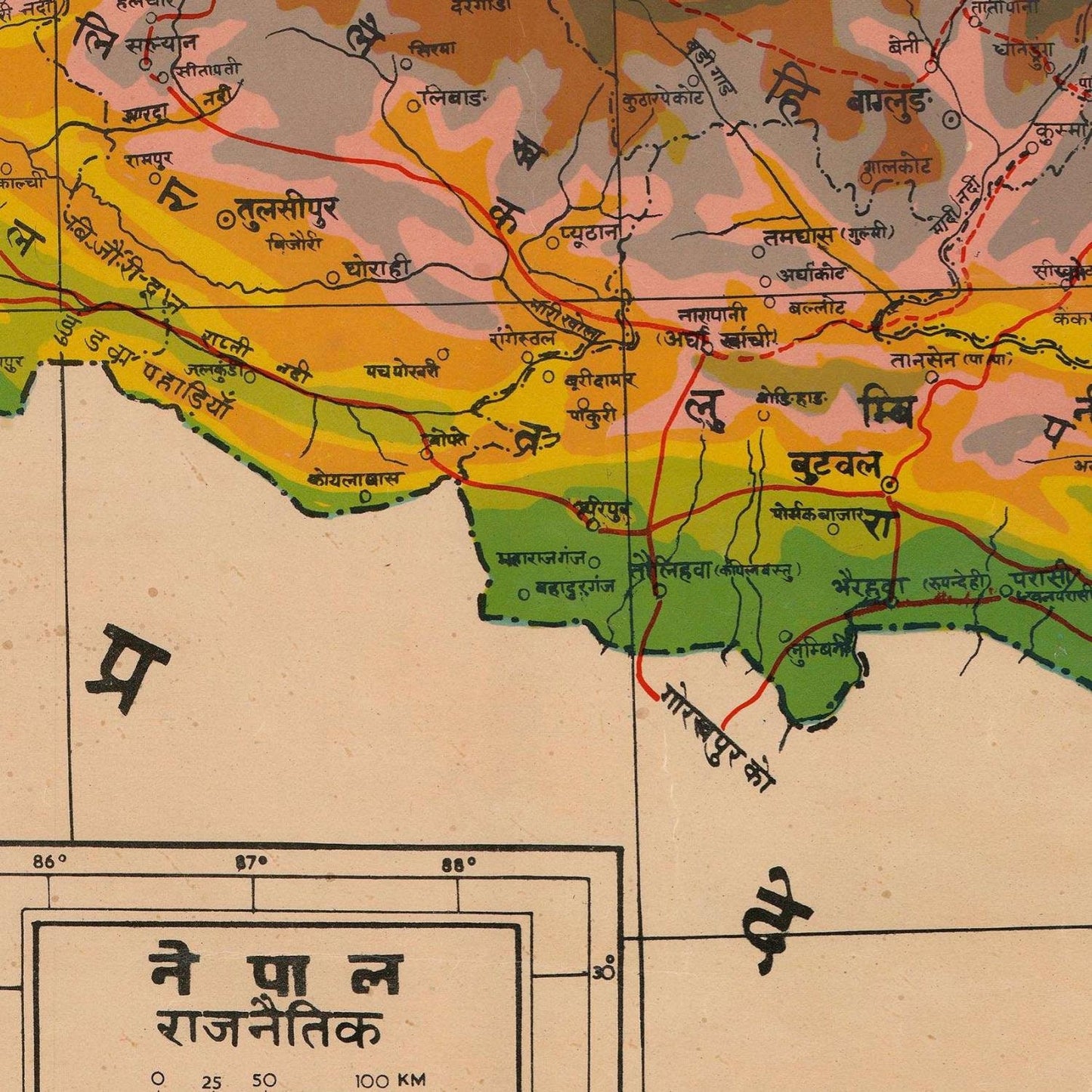
One of the map's standout features is its masterful use of color coding. With a painter's touch, it employs green hues to signify the lush lowlands, where agricultural endeavors thrive. This vivid greenery represents the agricultural heart of Nepal, highlighting the significance of these regions in providing sustenance to the nation's populace.
In contrast, the map employs varying shades of brown to depict the undulating hills that punctuate Nepal's landscape. These hills, beautifully rendered in this earthly palette, are not merely geographic features but also reflect the resilience and resourcefulness of the Nepalese people who have made these areas their home.
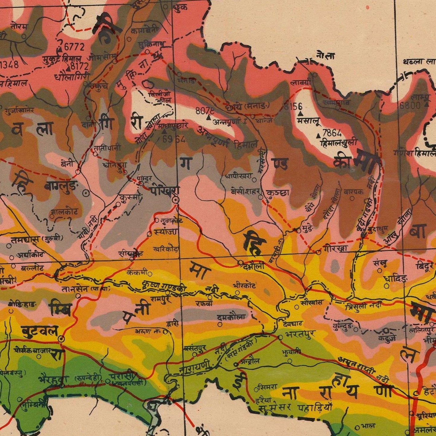
However, it is the pristine white expanses that steal the show on this map. These areas, boldly showcasing Nepal's towering mountains, evoke a sense of awe and wonder. The majestic Himalayan range, home to some of the world's highest peaks, is artfully displayed. These mountains are not just geographical entities; they symbolize Nepal's indomitable spirit and its people's capacity to rise above challenges.
Beyond its exceptional use of color, the map boasts a plethora of symbols that enrich its narrative. Roads, railways, rivers, and lakes are meticulously marked, elucidating the intricate web of transportation and water bodies that sustain life in Nepal. These symbols serve as a testament to the complexity and connectivity that existed in Nepal during this period.
Furthermore, the historical significance of this map cannot be overstated. It is a snapshot frozen in time, capturing Nepal during a period of rapid transformation. As the nation was navigating the currents of change, this map recorded its topographical essence. It serves as a historical compass, guiding us through the past and helping us understand the journey of Nepal to its present state.
Beyond the historical context, the map serves as an artistic ode to Nepal's natural beauty. The mountains' grandeur, the dense forests that cloak its hills, and the meandering rivers that trace its contours are all brought to life on this canvas. It is not just a geographical reference but a visual ode to the wonders of nature that adorn Nepal.
In conclusion, the Topographical Map of Nepal is not just a map; it's a portal to another time, a visual symphony of colors and symbols, and a historical document of immeasurable value. It reveals Nepal in all its glory, from the fertile lowlands to the majestic Himalayas, encapsulating the nation's history and its enduring beauty. This map is a testament to the art of cartography and a priceless relic for those seeking to understand Nepal's past and present.
Materials
Materials
Cotton canvas, matte photo paper, fine art paper, pigmented inks.
- The canvas it's 99 % cotton, 450 gr/sqm;
- The matte photo paper it's acid-free (archival paper), 190 gr/sqm;
- The fine art photo paper it's satinated (semi-glossy), 140 gr/sqm.
Shipping & Returns
Shipping & Returns
Dispatching time: 1-2 days.
* Standard shipping fee: The orders will be sent by priority registered mail, usually via client National Post (USPS, Canada Post, Royal Mail, LaPoste, Deutsche Post, PostNL, etc). The delivery times are not guaranteed, sometimes it will take longer and these are beyond our control. Tracking number will be provided. Clients from US and Canada cannot track the parcels as the tracking numbers are not rolled in USPS and Canada Post systems.
* UPS standard: The orders will be sent with UPS expedited option. The delivery time it's between 5-11 days. Tracking number will be provided after dispatch.
* UPS express: The orders will be sent with UPS express saver. The delivery time it's between 4-7 days. Tracking number will be provided after dispatch.
Framing tips
Framing tips
Both type of materials, paper and canvas prints come rolled and will be need to be taken to your local framers.
The image it's printed with a border of 0.6 " (1.5 cm), for framing purposes only.
If you have already a frame, be sure you send us the exact size of the print that will fit inside the frame. We're printing on vectorial plotters so the size could slightly be more or less with 0.4" (1 cm).
If you plan to have the canvas print stretched on wooden frame, you'll need additional border, so please let us know after placing the order.
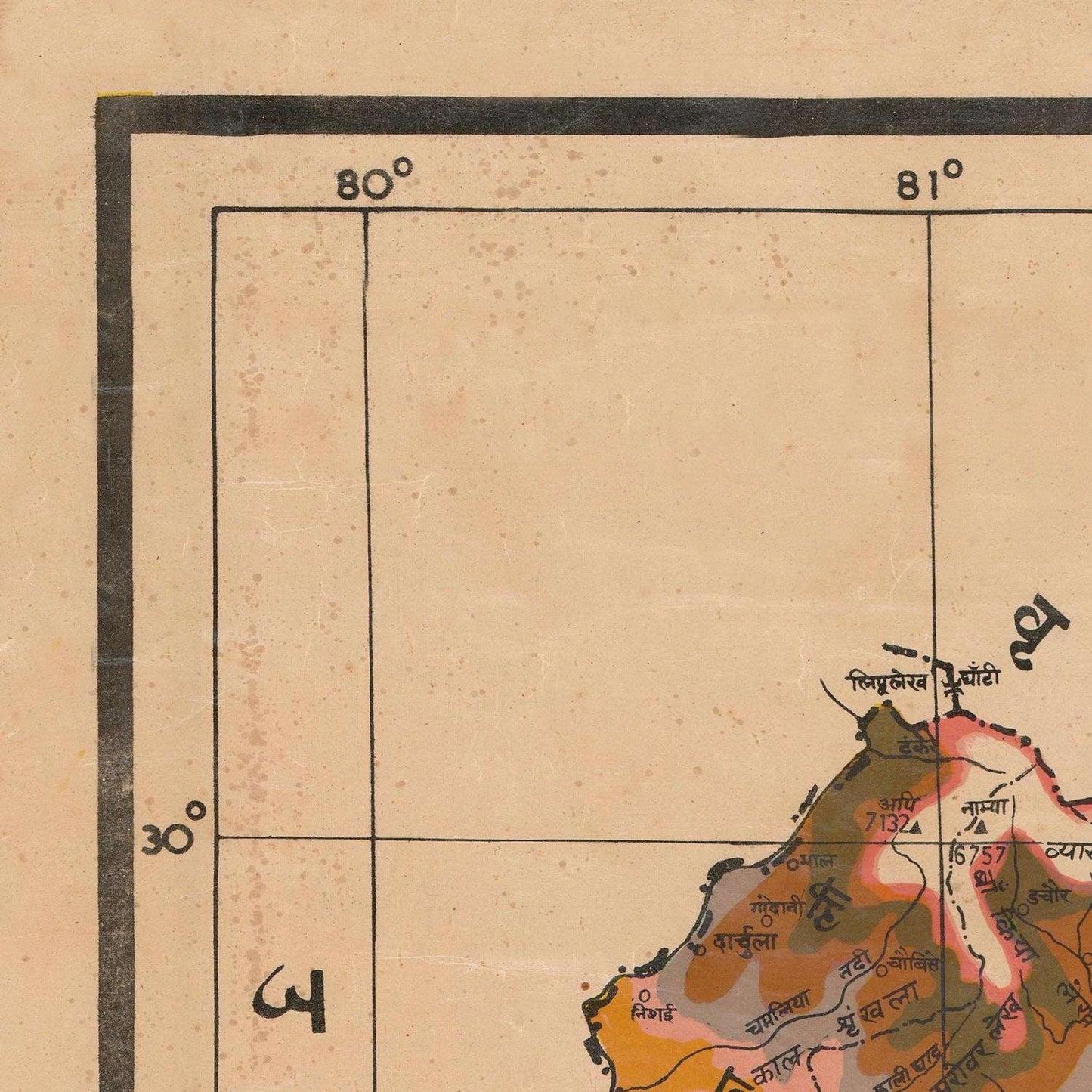
The images above was cropped from the image at the biggest size available (keeping the best quality and aspect /ratio), so, for good details please choose biggest dimensions that will suit your preferences / space.
Care Instructions
Care Instructions
The print media (canvas or photo paper) could be cleaned only with a dry, soft cloth.
Share
Wine maps
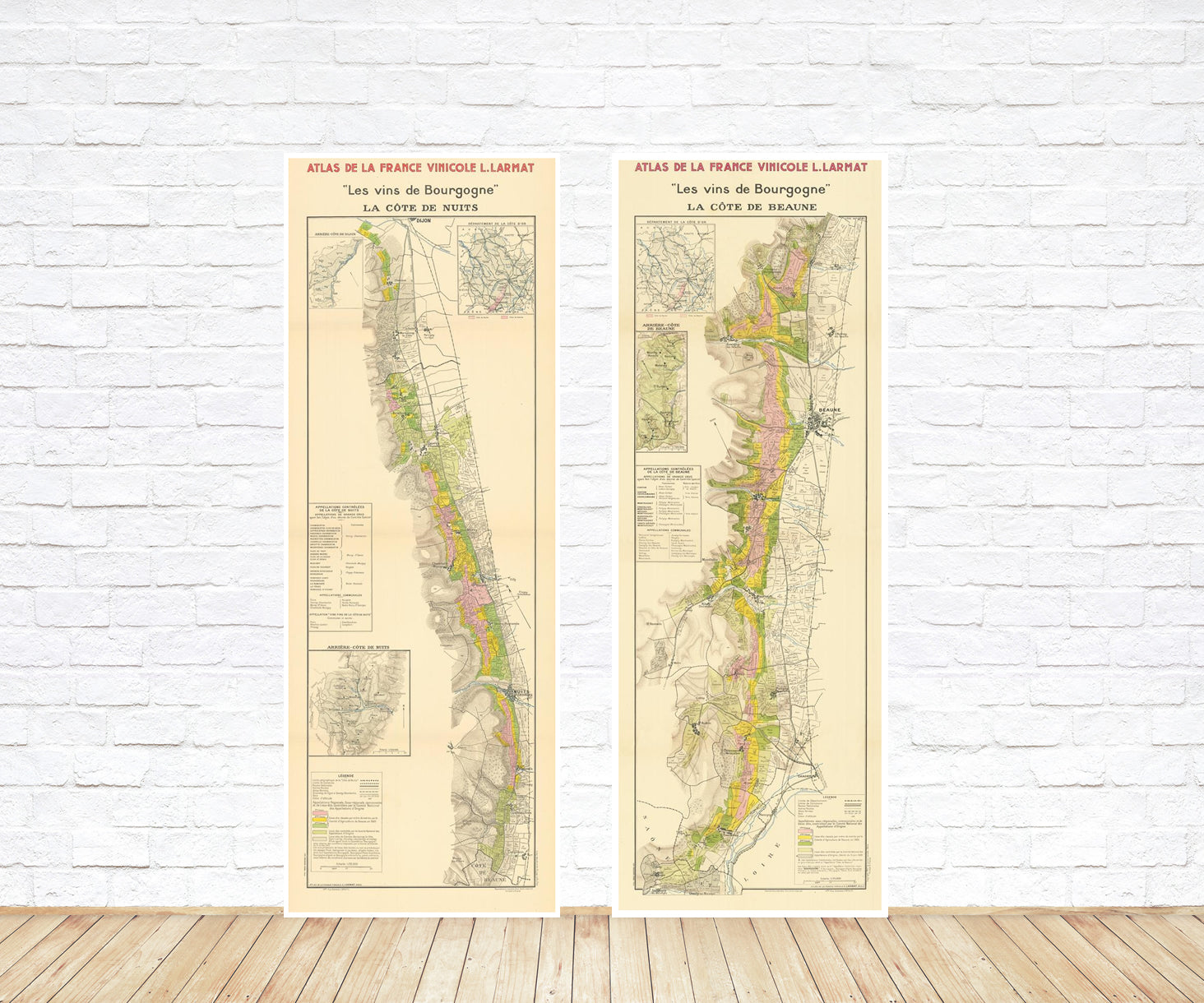
Explore the rich history of wine through centuries-old maps. Dive into the heritage, culture, and geography of wine regions with our collection of vintage wine maps.
These meticulously preserved historical treasures offer a window into the evolution of viticulture, showcasing how wine regions have transformed over the centuries.
-
Gastronomic maps
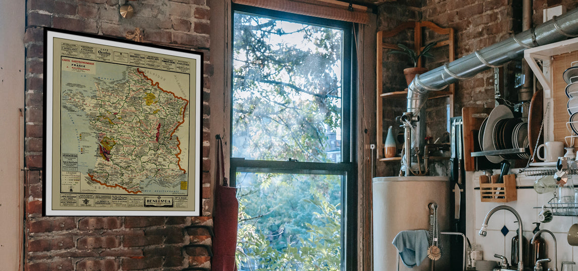
Dive into a world of culinary exploration with our collection of gastronomic maps – your passport to gastronomic adventures like no other. Discover the intricate art of cheese-making and the exquisite world of gourmet delights through our meticulously curated Cheese Maps and Gastronomic Maps.
-
Empires maps
Travel through history as you explore the territorial expanse, conquests, and cultural influences of some of the world's most powerful civilizations. Our antique maps bring the epic tales of empires to life, offering a captivating glimpse into the rise and fall of these extraordinary realms. See all empires maps >


