Verfügbarkeit für Abholungen konnte nicht geladen werden
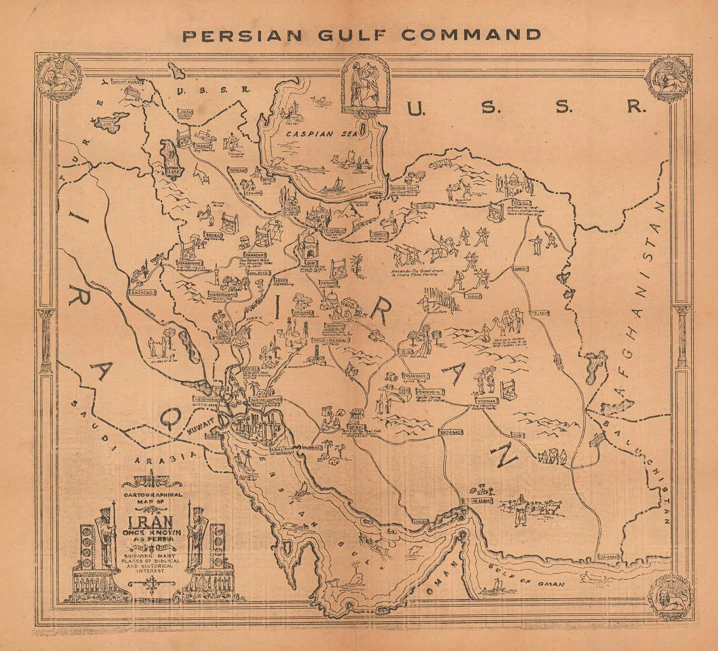
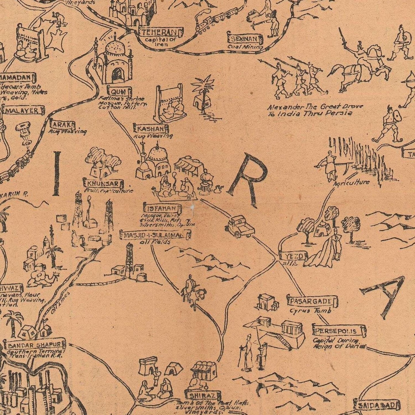
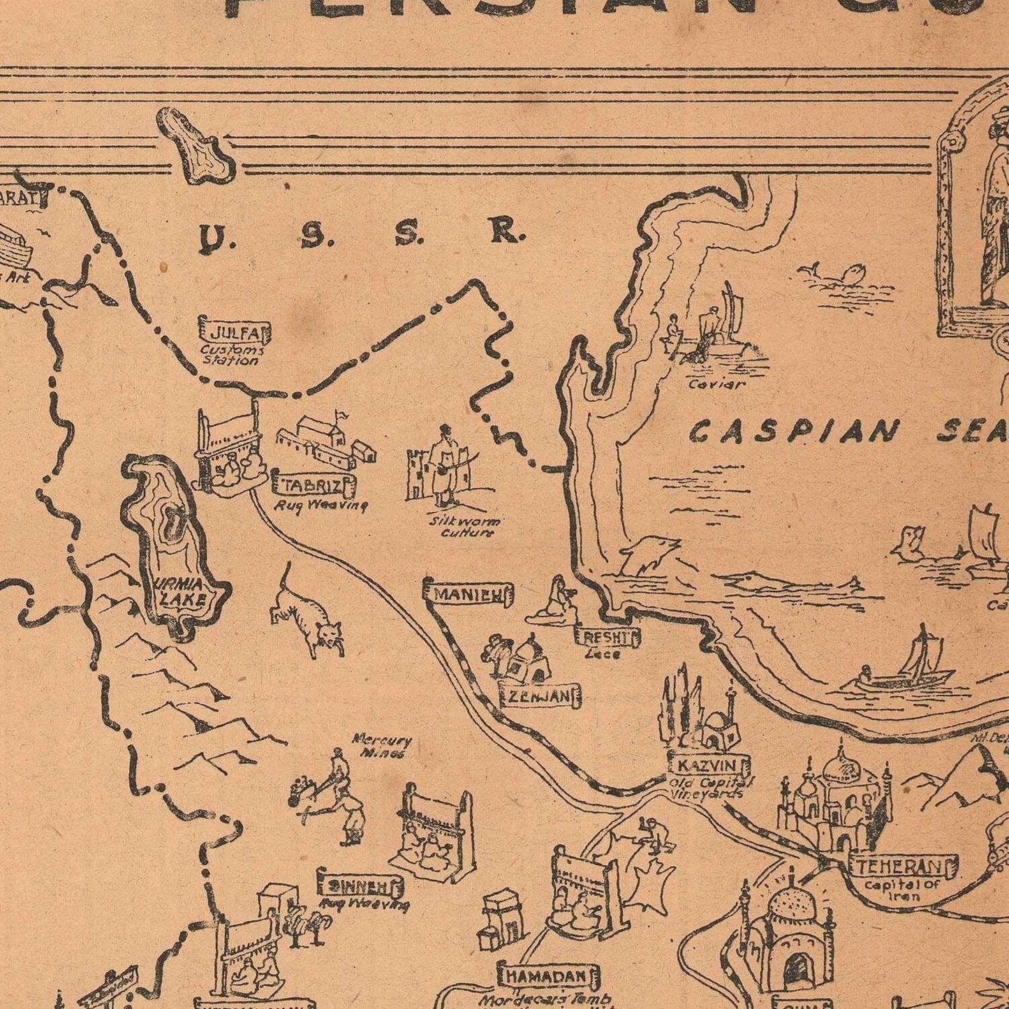
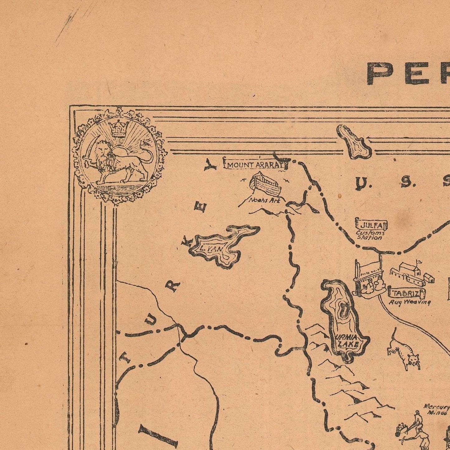
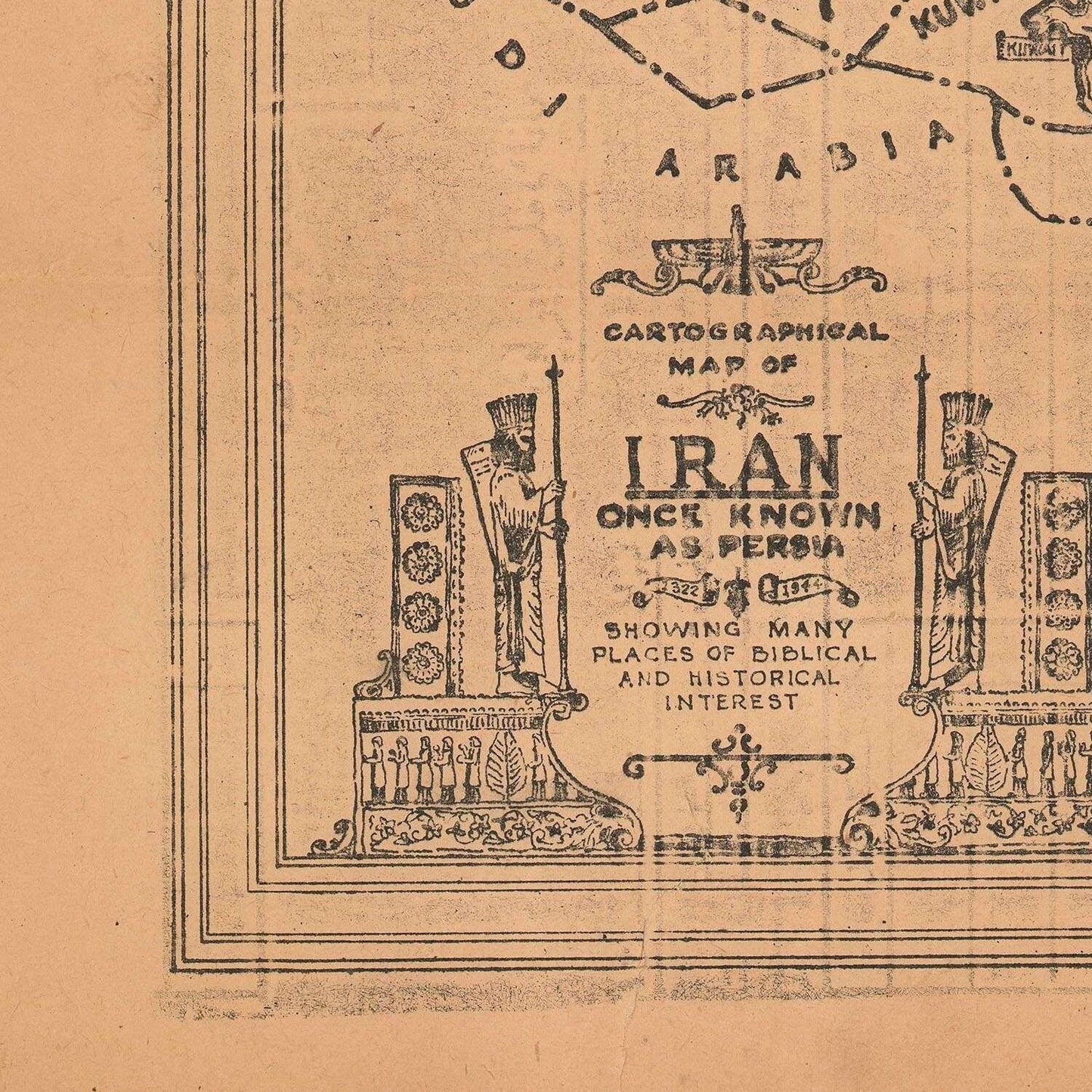
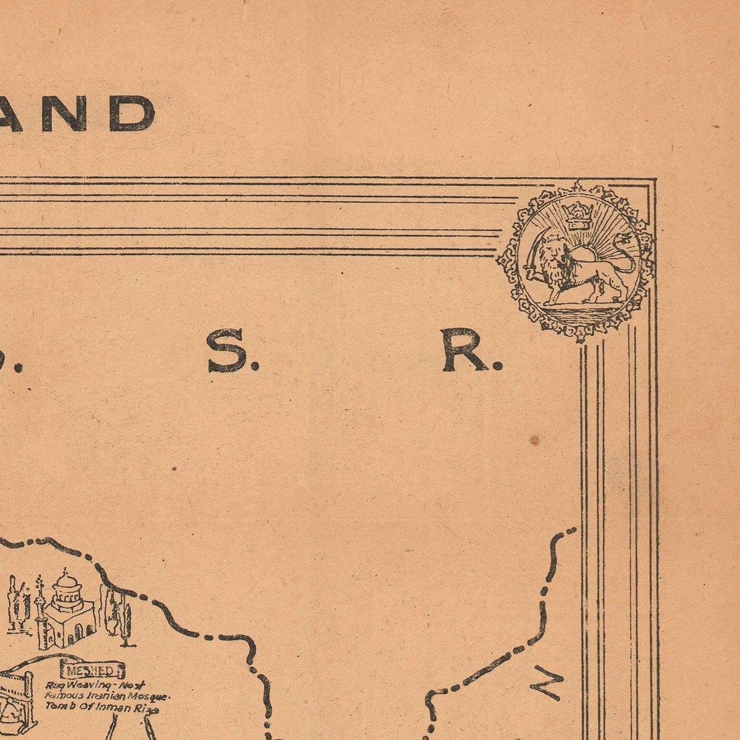
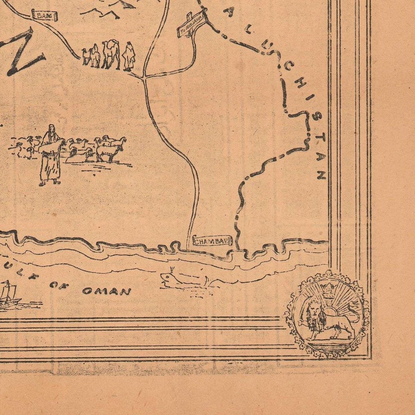
The cartographical map of Iran from 1944 is a detailed and historically significant representation of the country during a pivotal period in the 20th century. Produced in the midst of World War II, this map offers a comprehensive view of Iran's geography, infrastructure, and strategic importance at a time when the country was a key player in global geopolitics due to its oil resources and position as a supply route for the Allied forces.
This map is meticulously detailed, showcasing Iran’s complex topography with a combination of shaded relief and contour lines that highlight the rugged mountain ranges of the Zagros and Alborz. The map captures the diversity of the Iranian landscape, from the vast deserts of the Dasht-e Kavir (Great Salt Desert) and Dasht-e Lut to the lush coastal areas along the Caspian Sea. The mountains are carefully depicted with hachures to indicate elevation, while the lower plains and deserts are rendered in lighter tones, giving the map a layered and textured appearance.
Major cities such as Tehran, Tabriz, Isfahan, Shiraz, and Mashhad are prominently marked with bold labels, indicating their significance as political, economic, and cultural centers. The map also includes detailed road networks, railway lines, and air routes, reflecting the transportation infrastructure of the time, which was crucial for both civilian and military logistics. Key railroads like the Trans-Iranian Railway, which was completed in the 1930s, are clearly delineated, showcasing Iran’s efforts to modernize and connect its regions.
The map is rich with geopolitical details, highlighting borders with neighboring countries such as Iraq, Turkey, the Soviet Union, Afghanistan, and Pakistan (then part of British India). It also marks important ports along the Persian Gulf like Bandar Abbas and Abadan, emphasizing Iran's strategic maritime significance.
Cartographic symbols are used throughout to indicate natural resources, with special emphasis on the oil fields in southwestern Iran, particularly around Khuzestan, which were of critical importance during the war. Rivers, lakes, and other water bodies are clearly outlined, and the map includes a detailed legend to assist with interpretation.
Printed in earthy tones and rich detail, this 1944 cartographical map of Iran is not just a navigational tool but also a historical document that reflects the country’s geopolitical landscape during a time of global conflict. It serves as a window into the past, offering insights into how Iran’s geography shaped its role in the broader geopolitical dynamics of World War II.
Materials
Materials
Cotton canvas, matte photo paper, fine art paper, pigmented inks.
- The canvas it's 99 % cotton, 450 gr/sqm;
- The matte photo paper it's acid-free (archival paper), 190 gr/sqm;
- The fine art photo paper it's satinated (semi-glossy), 140 gr/sqm.
Shipping & Returns
Shipping & Returns
Dispatching time: 1-2 days.
* Standard shipping fee: The orders will be sent by priority registered mail, usually via client National Post (USPS, Canada Post, Royal Mail, LaPoste, Deutsche Post, PostNL, etc). The delivery times are not guaranteed, sometimes it will take longer and these are beyond our control. Tracking number will be provided. Clients from US and Canada cannot track the parcels as the tracking numbers are not rolled in USPS and Canada Post systems.
* UPS standard: The orders will be sent with UPS expedited option. The delivery time it's between 5-11 days. Tracking number will be provided after dispatch.
* UPS express: The orders will be sent with UPS express saver. The delivery time it's between 4-7 days. Tracking number will be provided after dispatch.
Framing tips
Framing tips
Both type of materials, paper and canvas prints come rolled and will be need to be taken to your local framers.
The image it's printed with a border of 0.6 " (1.5 cm), for framing purposes only.
If you have already a frame, be sure you send us the exact size of the print that will fit inside the frame. We're printing on vectorial plotters so the size could slightly be more or less with 0.4" (1 cm).
If you plan to have the canvas print stretched on wooden frame, you'll need additional border, so please let us know after placing the order.
The images above was cropped from the image at the biggest size available (keeping the best quality and aspect /ratio), so, for good details please choose biggest dimensions that will suit your preferences / space.
Care Instructions
Care Instructions
The print media (canvas or photo paper) could be cleaned only with a dry, soft cloth.
Share
Wine maps
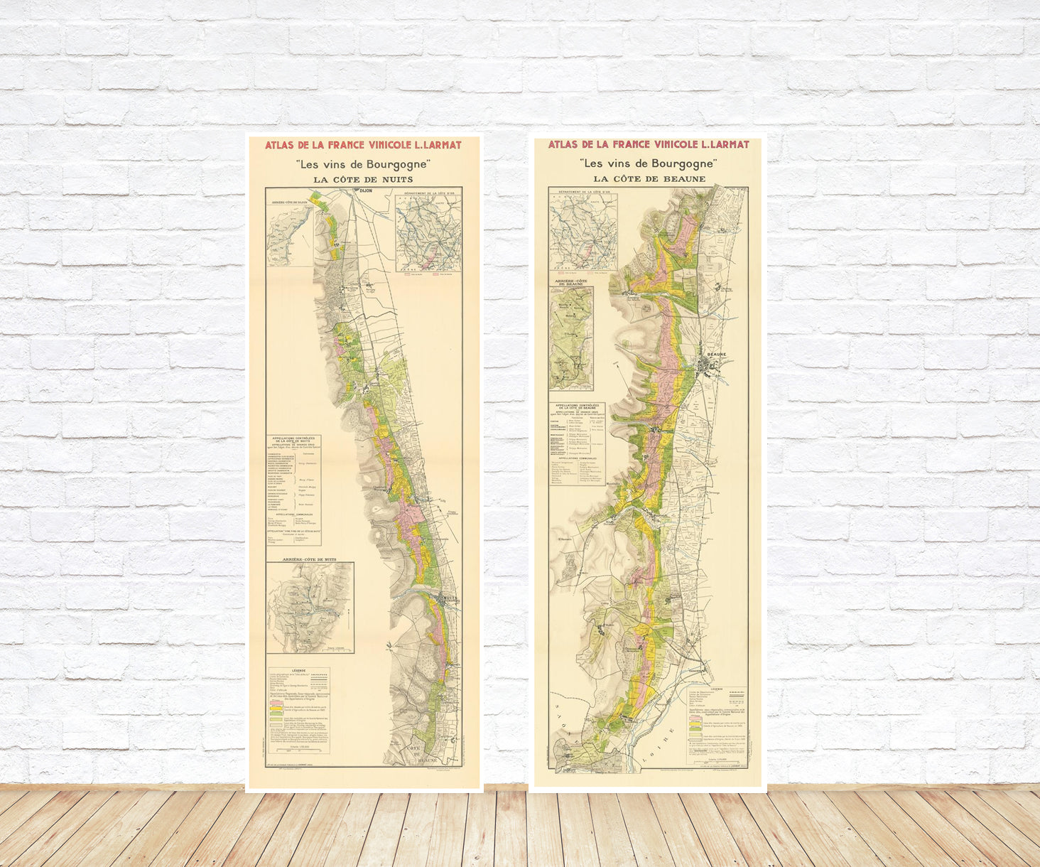
Explore the rich history of wine through centuries-old maps. Dive into the heritage, culture, and geography of wine regions with our collection of vintage wine maps.
These meticulously preserved historical treasures offer a window into the evolution of viticulture, showcasing how wine regions have transformed over the centuries.
-
Gastronomic maps
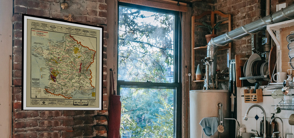
Dive into a world of culinary exploration with our collection of gastronomic maps – your passport to gastronomic adventures like no other. Discover the intricate art of cheese-making and the exquisite world of gourmet delights through our meticulously curated Cheese Maps and Gastronomic Maps.
-
Empires maps
Travel through history as you explore the territorial expanse, conquests, and cultural influences of some of the world's most powerful civilizations. Our antique maps bring the epic tales of empires to life, offering a captivating glimpse into the rise and fall of these extraordinary realms. See all empires maps >
