Ir directamente a la información del producto
1 de 7

Ancient city map of Augsburg, 1638

SKU:  195486

Ancient city map of Augsburg, 1638

Precio habitual €66,64 EUR
Precio habitual Precio de oferta €66,64 EUR
Oferta Agotado
Impuesto incluido. Los gastos de envío se calculan en la pantalla de pago.

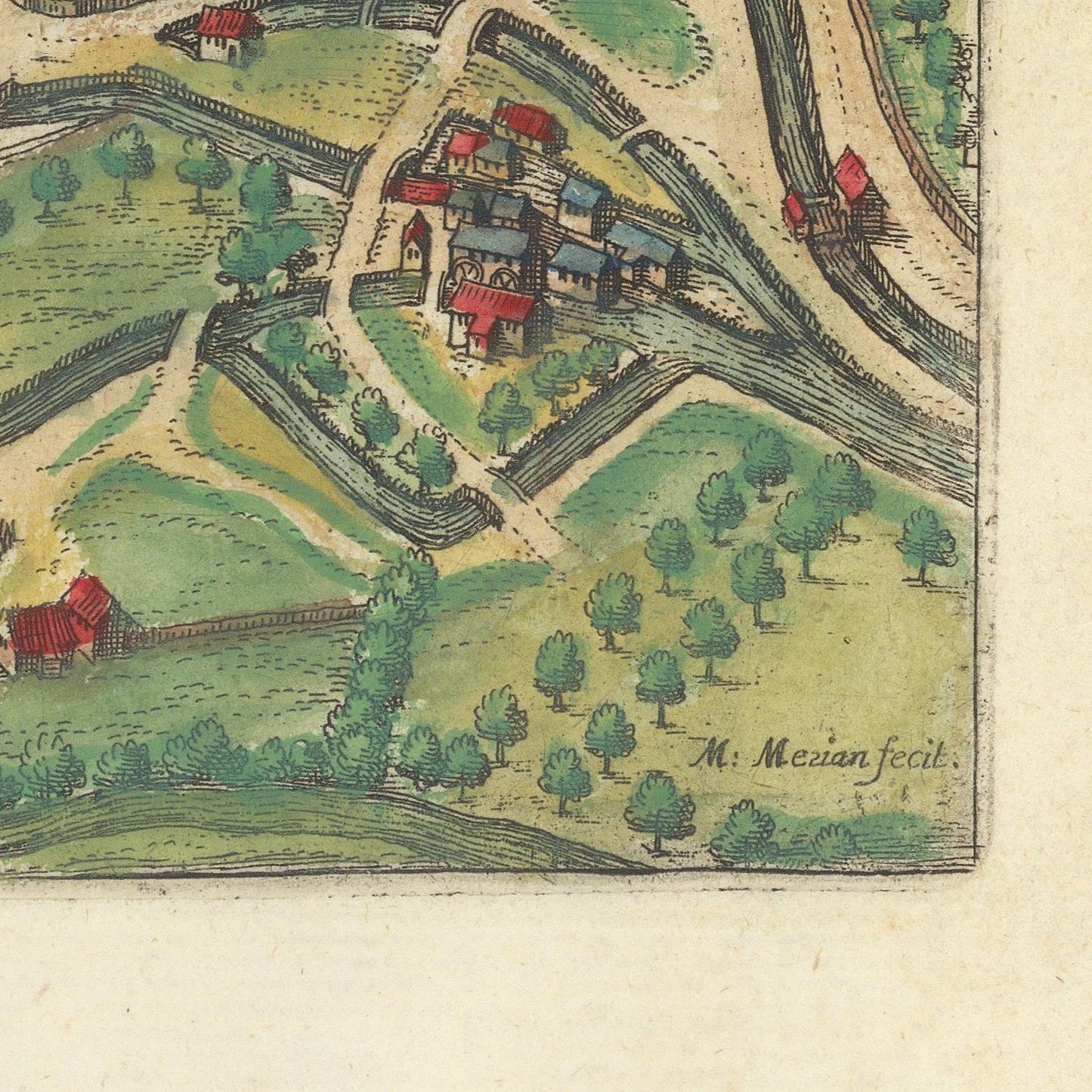
Augusta Vindelicorum is a magnificent bird's-eye view of the historic city of Augsburg, engraved by the renowned Swiss-German master Matthäus Merian the Elder and published in 1638 as part of his celebrated Topographia Germaniae. Widely regarded as one of the finest topographical publishing projects of the seventeenth century, Merian's work combined exceptional artistic craftsmanship with remarkable geographical accuracy, creating enduring visual records of Europe's most important cities.

Founded by the Romans in 15 BC as Augusta Vindelicorum, Augsburg ranks among Germany's oldest cities and emerged as one of the wealthiest commercial and financial centers of the Holy Roman Empire. During the Renaissance, the city flourished under the influence of the powerful Fugger and Welser merchant families, whose banking enterprises financed emperors, kings, and international trade. By the early seventeenth century, Augsburg remained a vital center of commerce, printing, and craftsmanship despite the political and economic upheavals of the Thirty Years' War.

Merian's engraving presents the city from an elevated perspective, revealing its impressive fortifications, gates, towers, churches, bridges, and densely packed streets enclosed within formidable defensive walls. The city's distinctive skyline is dominated by monumental ecclesiastical landmarks, including Augsburg Cathedral and St. Ulrich's and St. Afra's Abbey, while the surrounding countryside, rivers, and cultivated fields provide valuable context to the city's strategic location along important European trade routes.

Executed with extraordinary precision, every building block, bastion, and street reflects Merian's meticulous engraving technique. His panoramic city views were based on careful observation and contemporary surveys, making them not only decorative works of art but also invaluable historical documents that preserve the urban landscape before later expansion and modernization transformed many European cities.

Published in 1638, during the height of the Thirty Years' War, this engraving captures Augsburg at a pivotal moment in its long history, documenting both its enduring prosperity and its impressive defensive infrastructure. It stands as a remarkable testament to the resilience and significance of one of southern Germany's greatest imperial cities.

Today, Augusta Vindelicorum is highly prized by collectors of antique maps, city views, and early modern cartography. Combining historical importance, exceptional engraving quality, and rich architectural detail, it remains one of the finest seventeenth-century depictions of Augsburg and an outstanding example of Merian's enduring artistic legacy.

Find more maps of Matthäus Merian

Materials

Cotton canvas, matte photo paper, fine art paper, pigmented inks.

  • The canvas it's 99 % cotton, 450 gr/sqm;
  • The matte photo paper it's acid-free (archival paper), 190 gr/sqm;
  • The fine art photo paper it's satinated (semi-glossy), 140 gr/sqm.

Shipping & Returns

Dispatching time: 1-2 days.

* Standard shipping fee: The orders will be sent by priority registered mail, usually via client National Post (USPS, Canada Post, Royal Mail, LaPoste, Deutsche Post, PostNL, etc). The delivery times are not guaranteed, sometimes it will take longer and these are beyond our control. Tracking number will be provided. Clients from US and Canada cannot track the parcels as the tracking numbers are not rolled in USPS and Canada Post systems.

UPS standard: The orders will be sent with UPS expedited option. The delivery time it's between 5-11 days. Tracking number will be provided after dispatch.

UPS express: The orders will be sent with UPS express saver. The delivery time it's between 4-7 days. Tracking number will be provided after dispatch.

Framing tips

Both type of materials, paper and canvas prints come rolled and will be need to be taken to your local framers.

The image it's printed with a border of 0.6 " (1.5 cm), for framing purposes only.

If you have already a frame, be sure you send us the exact size of the print that will fit inside the frame. We're printing on vectorial plotters so the size could slightly be more or less with 0.4" (1 cm).

If you plan to have the canvas print stretched on wooden frame, you'll need additional border, so please let us know after placing the order.

The images above was cropped from the image at the biggest size available (keeping the best quality and aspect /ratio), so, for good details please choose biggest dimensions that will suit your preferences / space.

Care Instructions

The print media (canvas or photo paper) could be cleaned only with a dry, soft cloth.

Ver todos los detalles

Wine maps

Explore the rich history of wine through centuries-old maps. Dive into the heritage, culture, and geography of wine regions with our collection of vintage wine maps.

These meticulously preserved historical treasures offer a window into the evolution of viticulture, showcasing how wine regions have transformed over the centuries.

  • Gastronomic maps

    Dive into a world of culinary exploration with our collection of gastronomic maps – your passport to gastronomic adventures like no other. Discover the intricate art of cheese-making and the exquisite world of gourmet delights through our meticulously curated Cheese Maps and Gastronomic Maps.

  • Empires maps

    Travel through history as you explore the territorial expanse, conquests, and cultural influences of some of the world's most powerful civilizations. Our antique maps bring the epic tales of empires to life, offering a captivating glimpse into the rise and fall of these extraordinary realms. See all empires maps >