No se pudo cargar la disponibilidad de retiro
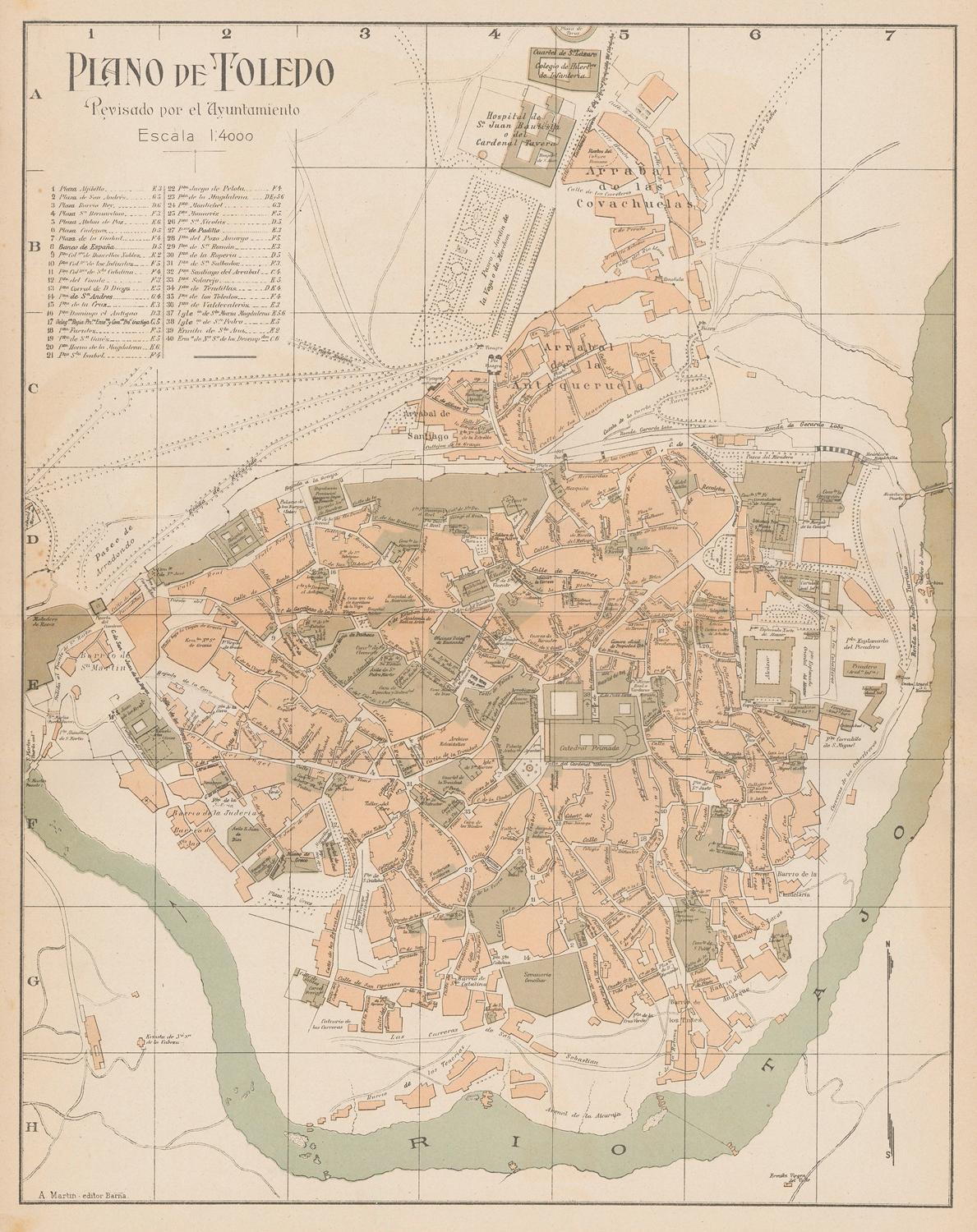
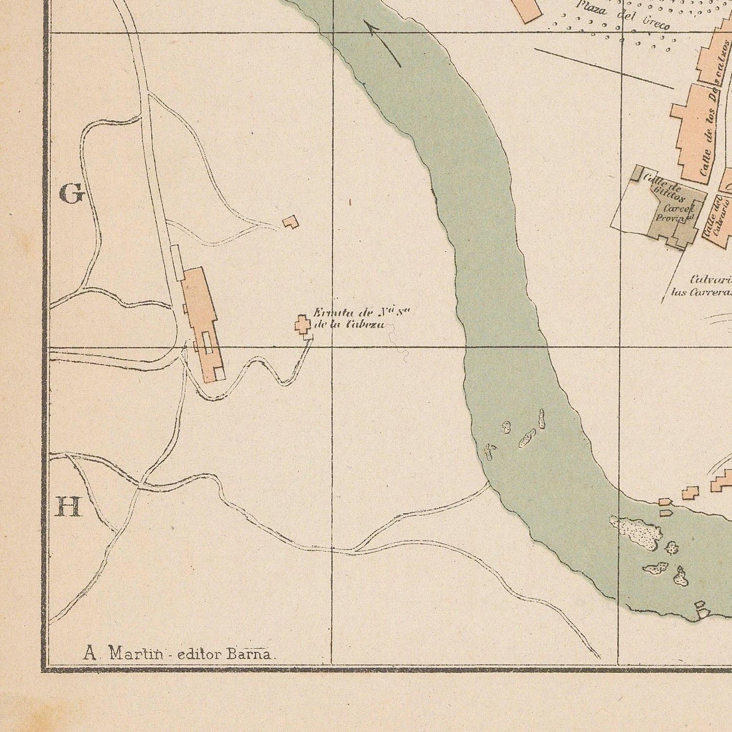
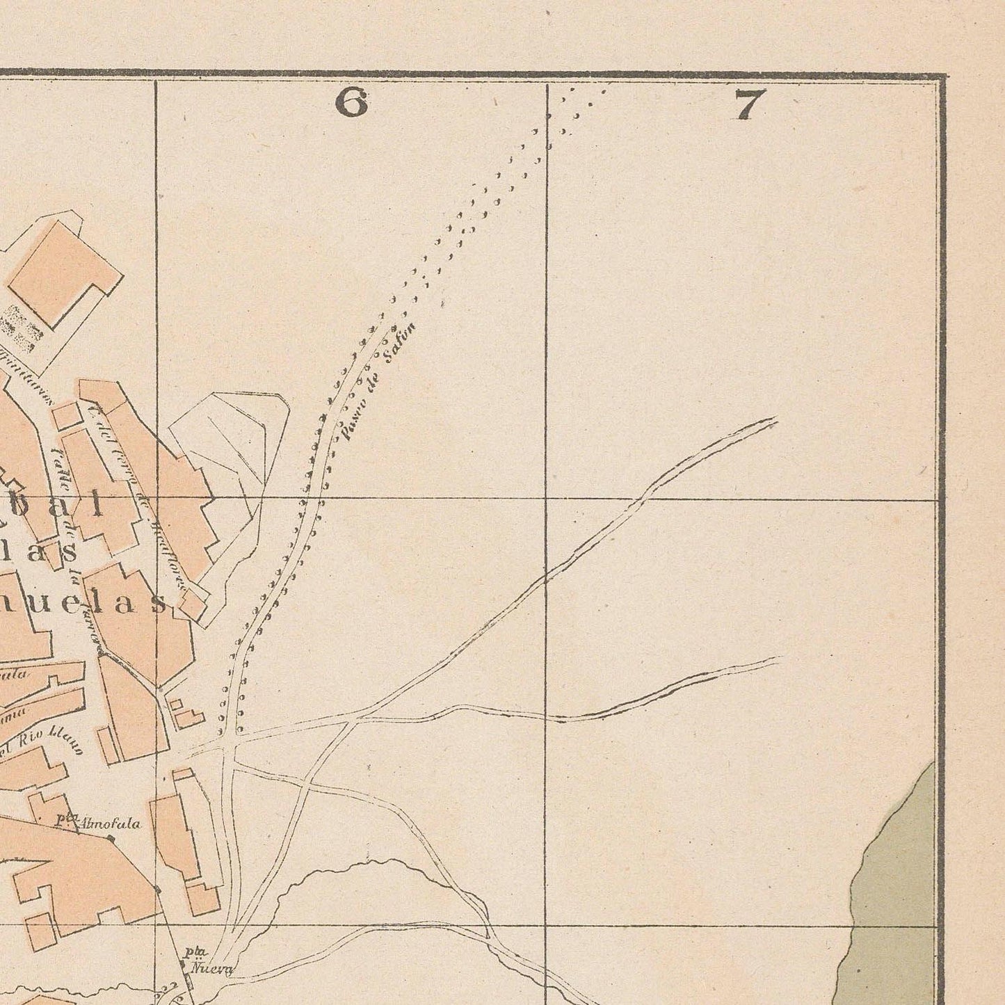
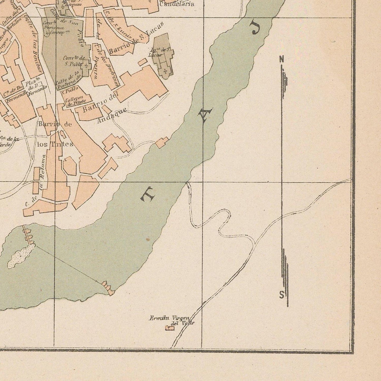
The Plano de Toledo of 1927 presents a richly detailed view of one of Spain’s most emblematic and historically layered cities at a moment when modern mapping techniques were beginning to document centuries of urban heritage with new precision. This map captures Toledo—the ancient city on the banks of the Tagus River (Tajo)—as it stood in the early 20th century, balancing its medieval legacy with the realities of a changing modern Spain.
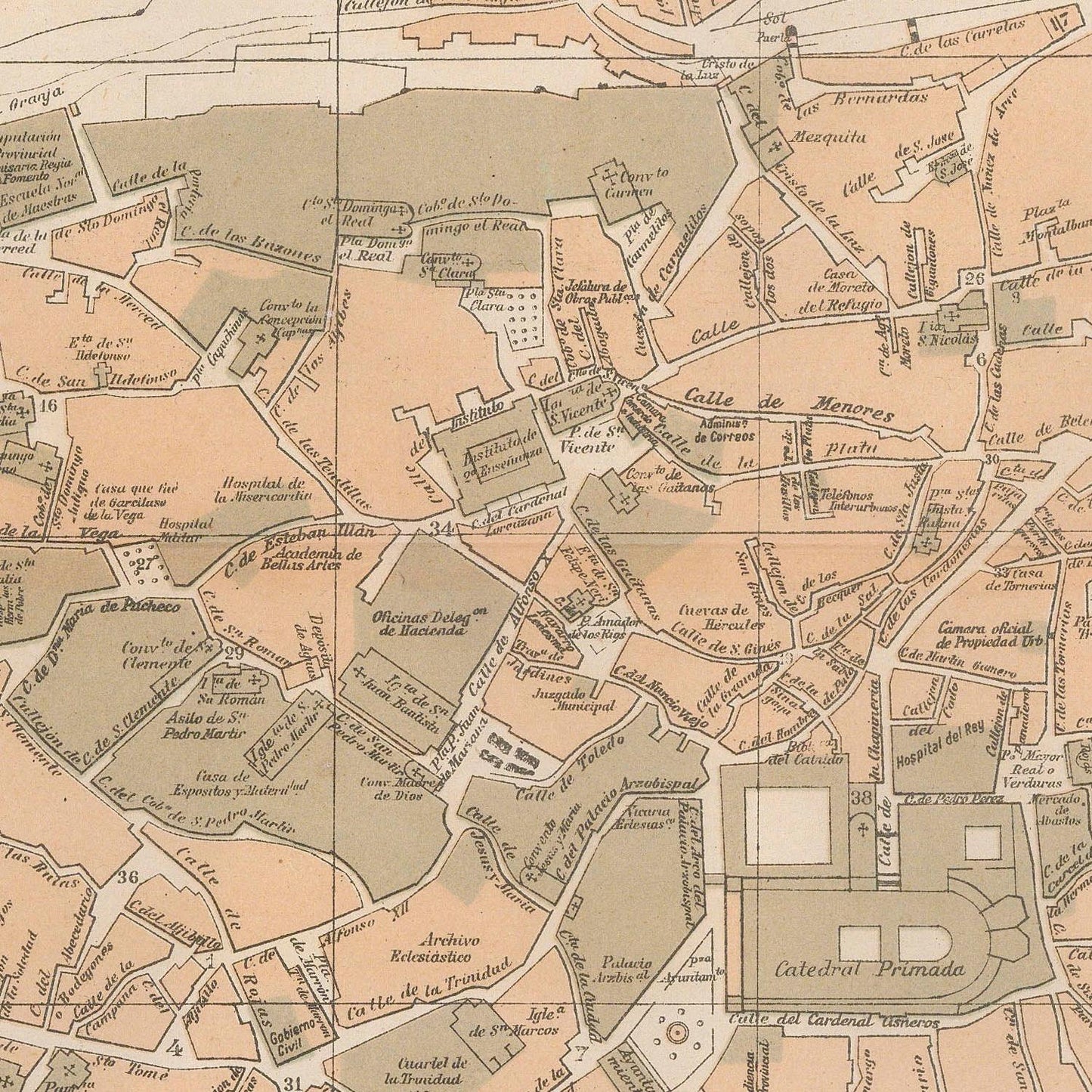
The city’s unique topography dominates the map: the winding river encircling the hilltop core, the dense maze of narrow streets, and the commanding presence of landmarks such as the Alcázar of Toledo, the Cathedral of Santa María, and the Puerta de Bisagra, all meticulously drawn. Surrounding districts, bridges, and access roads reveal how Toledo was beginning to integrate into a modern transportation network while preserving its walled historic center.
Produced with the characteristic accuracy and aesthetic quality of the Instituto Geográfico y Estadístico, the Plano de Toledo reflects both scientific rigor and artistic sensibility. It served as a civic and administrative tool, documenting urban organization, public institutions, and architectural landmarks with exceptional clarity.
By 1927, Toledo was increasingly recognized as a national monument-city, a living museum of Spanish history where Christian, Muslim, and Jewish cultures had intertwined for centuries. This map preserves that enduring identity—illustrating a city whose form and fabric remained deeply rooted in its medieval past even as it adapted to modernity.
Materials
Materials
Cotton canvas, matte photo paper, fine art paper, pigmented inks.
- The canvas it's 99 % cotton, 450 gr/sqm;
- The matte photo paper it's acid-free (archival paper), 190 gr/sqm;
- The fine art photo paper it's satinated (semi-glossy), 140 gr/sqm.
Shipping & Returns
Shipping & Returns
Dispatching time: 1-2 days.
* Standard shipping fee: The orders will be sent by priority registered mail, usually via client National Post (USPS, Canada Post, Royal Mail, LaPoste, Deutsche Post, PostNL, etc). The delivery times are not guaranteed, sometimes it will take longer and these are beyond our control. Tracking number will be provided. Clients from US and Canada cannot track the parcels as the tracking numbers are not rolled in USPS and Canada Post systems.
* UPS standard: The orders will be sent with UPS expedited option. The delivery time it's between 5-11 days. Tracking number will be provided after dispatch.
* UPS express: The orders will be sent with UPS express saver. The delivery time it's between 4-7 days. Tracking number will be provided after dispatch.
Framing tips
Framing tips
Both type of materials, paper and canvas prints come rolled and will be need to be taken to your local framers.
The image it's printed with a border of 0.6 " (1.5 cm), for framing purposes only.
If you have already a frame, be sure you send us the exact size of the print that will fit inside the frame. We're printing on vectorial plotters so the size could slightly be more or less with 0.4" (1 cm).
If you plan to have the canvas print stretched on wooden frame, you'll need additional border, so please let us know after placing the order.
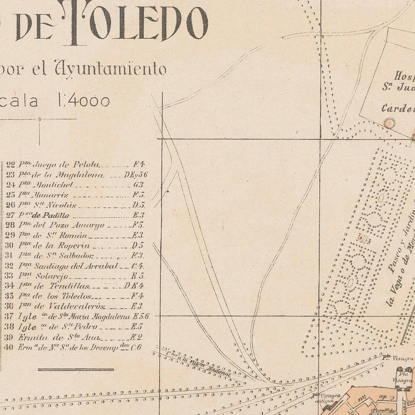
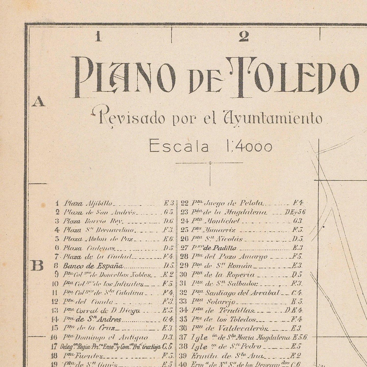
The images above was cropped from the image at the biggest size available (keeping the best quality and aspect /ratio), so, for good details please choose biggest dimensions that will suit your preferences / space.
Care Instructions
Care Instructions
The print media (canvas or photo paper) could be cleaned only with a dry, soft cloth.
Share
Wine maps
Explore the rich history of wine through centuries-old maps. Dive into the heritage, culture, and geography of wine regions with our collection of vintage wine maps.
These meticulously preserved historical treasures offer a window into the evolution of viticulture, showcasing how wine regions have transformed over the centuries.
-
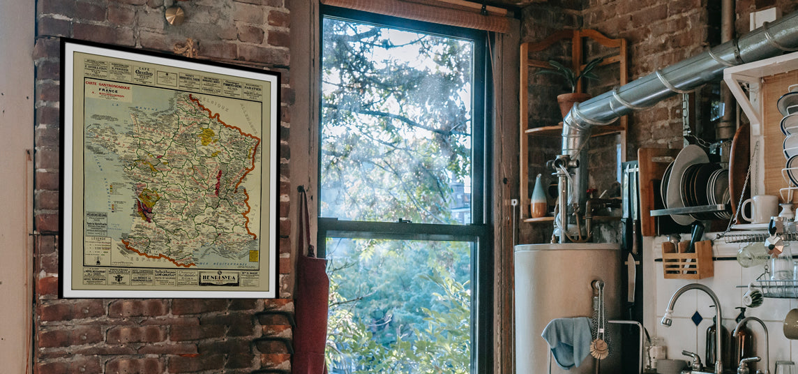
Gastronomic maps
Dive into a world of culinary exploration with our collection of gastronomic maps – your passport to gastronomic adventures like no other. Discover the intricate art of cheese-making and the exquisite world of gourmet delights through our meticulously curated Cheese Maps and Gastronomic Maps.
-

Empires maps
Travel through history as you explore the territorial expanse, conquests, and cultural influences of some of the world's most powerful civilizations. Our antique maps bring the epic tales of empires to life, offering a captivating glimpse into the rise and fall of these extraordinary realms. See all empires maps >


