Old map and history of Peiping; previously known as Peking, 1936
SKU: 193946
Old map and history of Peiping; previously known as Peking, 1936
No se pudo cargar la disponibilidad de retiro
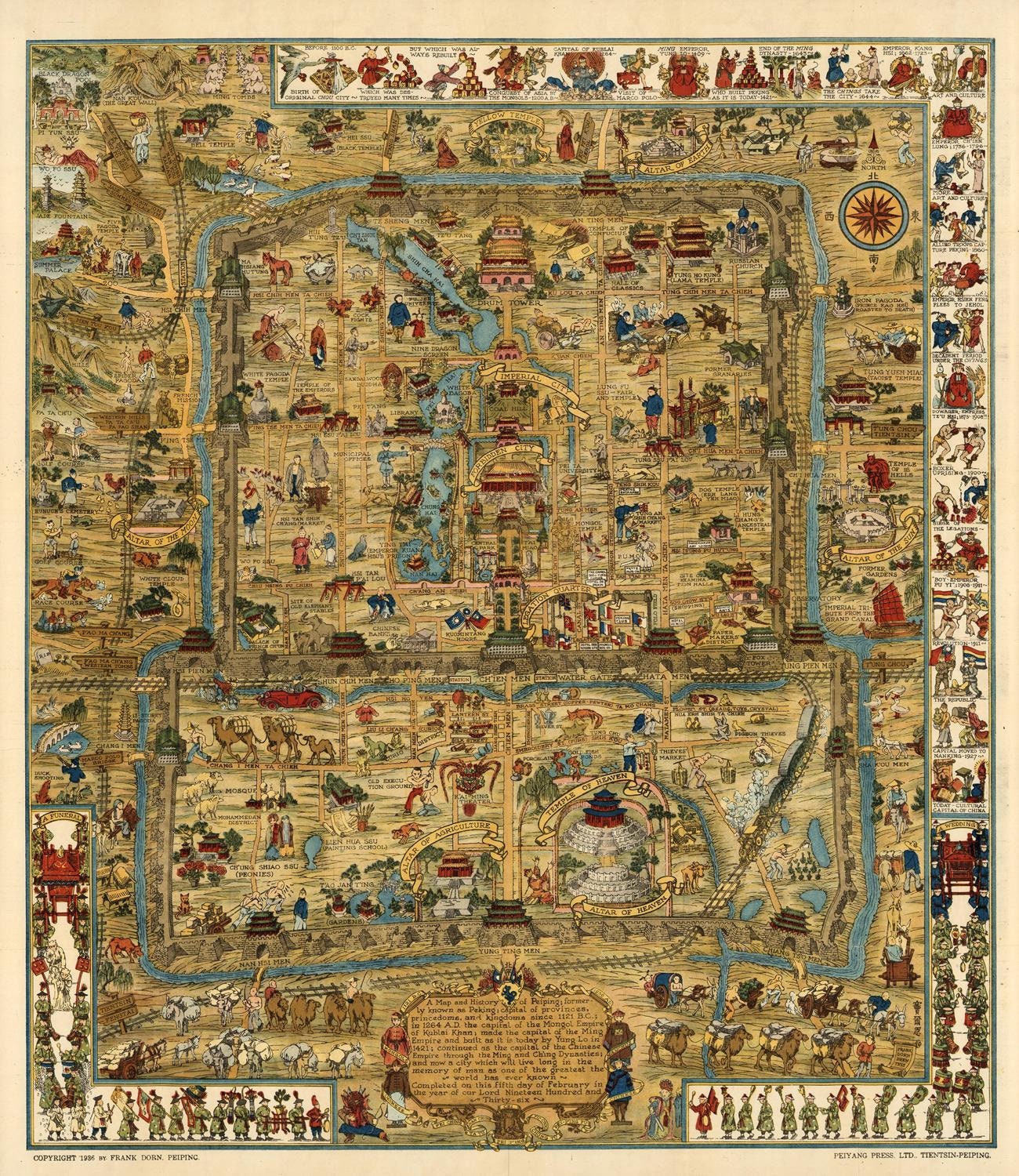
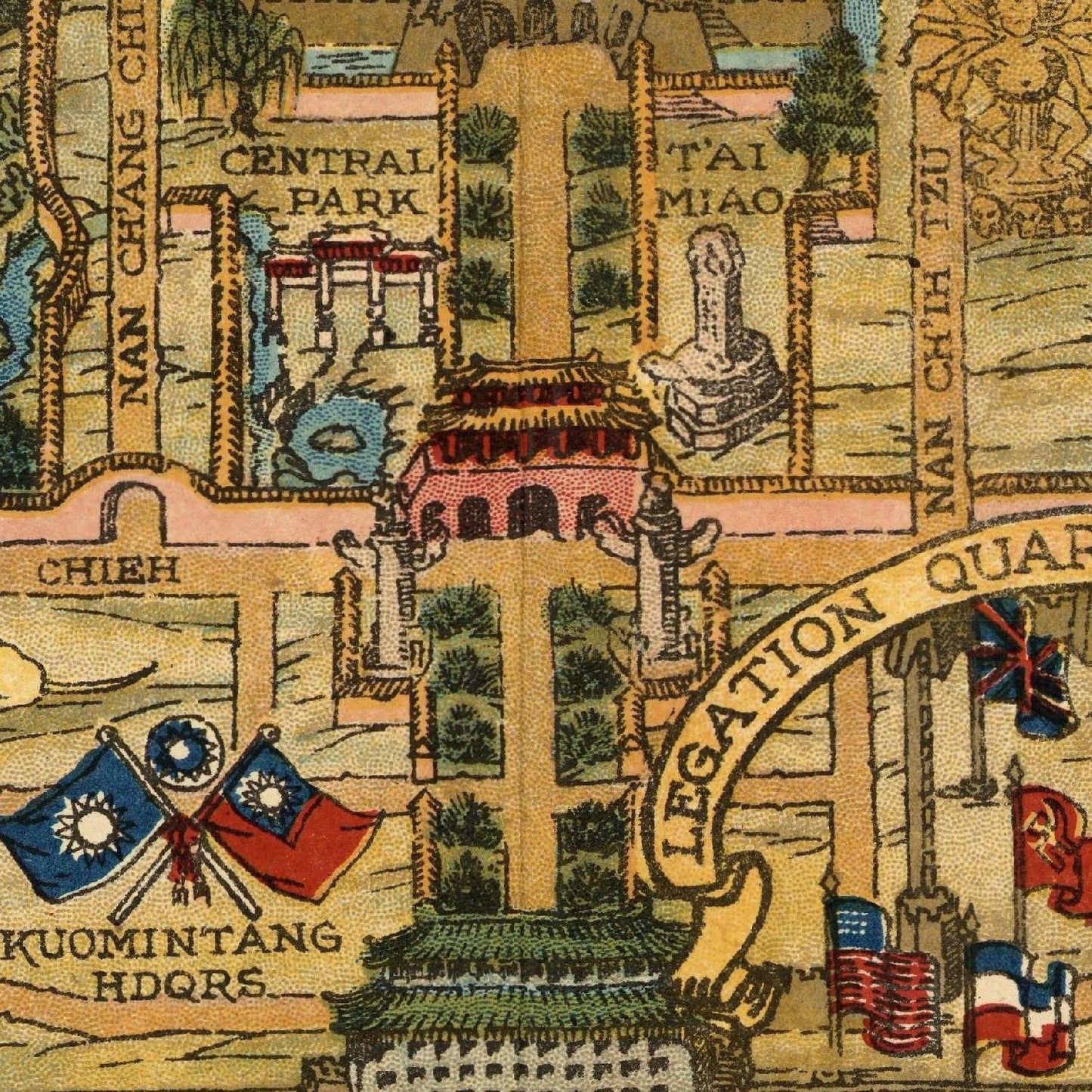
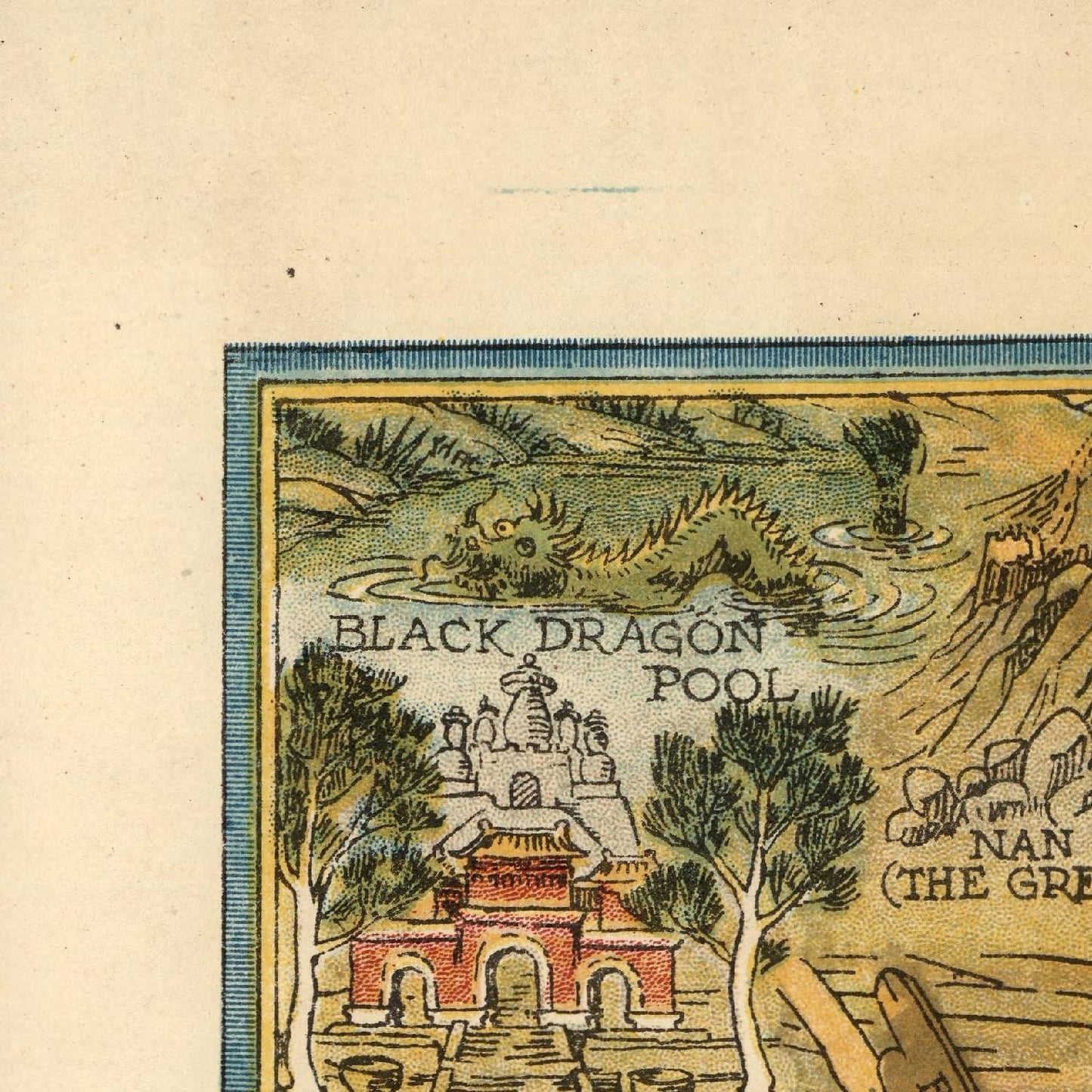
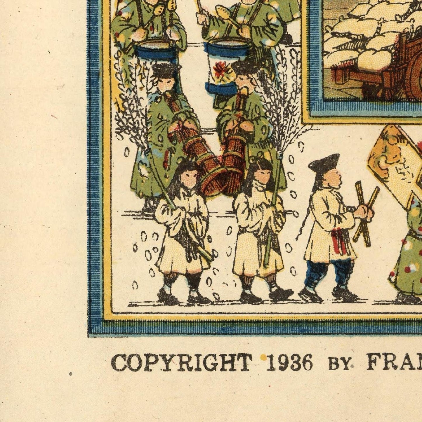
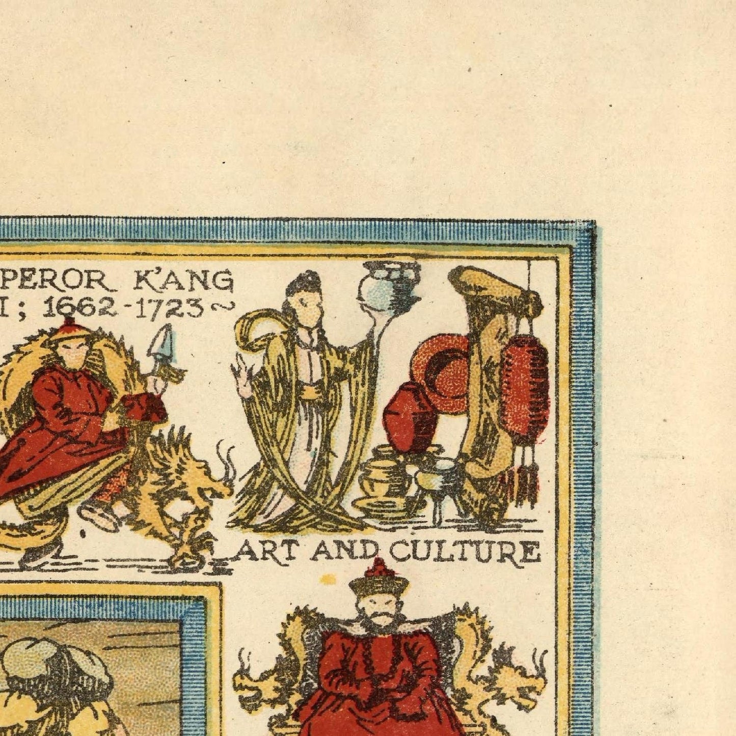
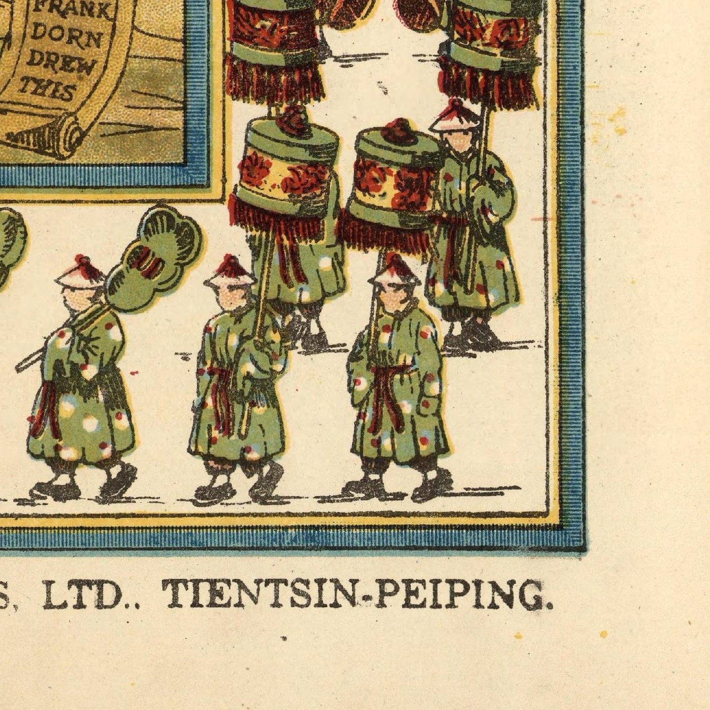
"A Map and History of Peiping," previously known as Peking, is a captivating pictorial map of Beijing and its surrounding areas, meticulously crafted by Frank Dorn in 1936. This artistic cartographic masterpiece showcases essential historical events spanning from 1100 BC to 1936, vividly depicting China's rich heritage. Alongside these depictions, the map highlights popular tourist attractions that draw visitors to the region. Complementing the map, a comprehensive 22-page explanatory text provides valuable insights into Beijing's culture and past.
Frank Dorn, an American military attaché stationed in China during the 1930s, played a crucial role in gathering intelligence on Japanese military actions prior to the Sino-Japanese War. During his posting in Beijing in 1934, Dorn immersed himself in Chinese studies and embarked on the creation of this significant cartographic artwork.
This historic map holds immense value as a snapshot of Beijing's landscape and essence in the 1930s. Beyond its historical significance, it is a visually striking work of art that continues to captivate collectors and enthusiasts even today.
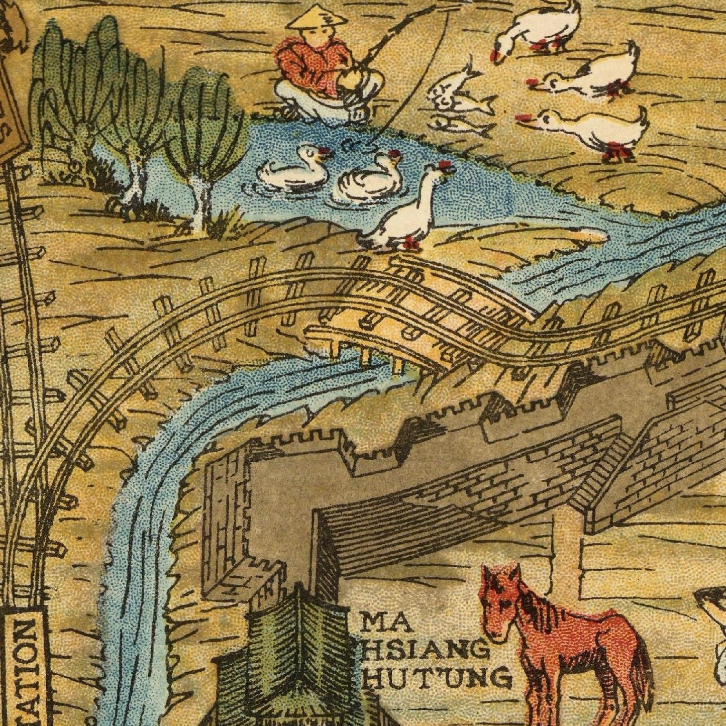
Some notable aspects of the map include its portrayal of Beijing's old city walls and the surrounding area, encapsulating the city's historical boundaries. Additionally, it showcases pivotal moments in China's history, such as the founding of the Ming Dynasty and the Boxer Rebellion, shedding light on the nation's past struggles and triumphs.
Moreover, the map points out essential landmarks that have enticed tourists for generations, including the illustrious Forbidden City, the serene Summer Palace, and the revered Temple of Heaven.
Published for the first time in 1936 by The Peiyang Press Ltd. in Tientsin-Peiping/Beijing, the map has enjoyed numerous reprints since then, ensuring its continued availability and appreciation for posterity. Its enduring charm lies in its ability to blend history, art, and cartography, offering an unforgettable glimpse into Beijing's fascinating heritage and allure.
Materials
Materials
Cotton canvas, matte photo paper, fine art paper, pigmented inks.
- The canvas it's 99 % cotton, 450 gr/sqm;
- The matte photo paper it's acid-free (archival paper), 190 gr/sqm;
- The fine art photo paper it's satinated (semi-glossy), 140 gr/sqm.
Shipping & Returns
Shipping & Returns
Dispatching time: 1-2 days.
* Standard shipping fee: The orders will be sent by priority registered mail, usually via client National Post (USPS, Canada Post, Royal Mail, LaPoste, Deutsche Post, PostNL, etc). The delivery times are not guaranteed, sometimes it will take longer and these are beyond our control. Tracking number will be provided. Clients from US and Canada cannot track the parcels as the tracking numbers are not rolled in USPS and Canada Post systems.
* UPS standard: The orders will be sent with UPS expedited option. The delivery time it's between 5-11 days. Tracking number will be provided after dispatch.
* UPS express: The orders will be sent with UPS express saver. The delivery time it's between 4-7 days. Tracking number will be provided after dispatch.
Framing tips
Framing tips
Both type of materials, paper and canvas prints come rolled and will be need to be taken to your local framers.
The image it's printed with a border of 0.6 " (1.5 cm), for framing purposes only.
If you have already a frame, be sure you send us the exact size of the print that will fit inside the frame. We're printing on vectorial plotters so the size could slightly be more or less with 0.4" (1 cm).
If you plan to have the canvas print stretched on wooden frame, you'll need additional border, so please let us know after placing the order.
The images above was cropped from the image at the biggest size available (keeping the best quality and aspect /ratio), so, for good details please choose biggest dimensions that will suit your preferences / space.
Care Instructions
Care Instructions
The print media (canvas or photo paper) could be cleaned only with a dry, soft cloth.
Share
Wine maps
Explore the rich history of wine through centuries-old maps. Dive into the heritage, culture, and geography of wine regions with our collection of vintage wine maps.
These meticulously preserved historical treasures offer a window into the evolution of viticulture, showcasing how wine regions have transformed over the centuries.
-
Gastronomic maps
Dive into a world of culinary exploration with our collection of gastronomic maps – your passport to gastronomic adventures like no other. Discover the intricate art of cheese-making and the exquisite world of gourmet delights through our meticulously curated Cheese Maps and Gastronomic Maps.
-
Empires maps
Travel through history as you explore the territorial expanse, conquests, and cultural influences of some of the world's most powerful civilizations. Our antique maps bring the epic tales of empires to life, offering a captivating glimpse into the rise and fall of these extraordinary realms. See all empires maps >
