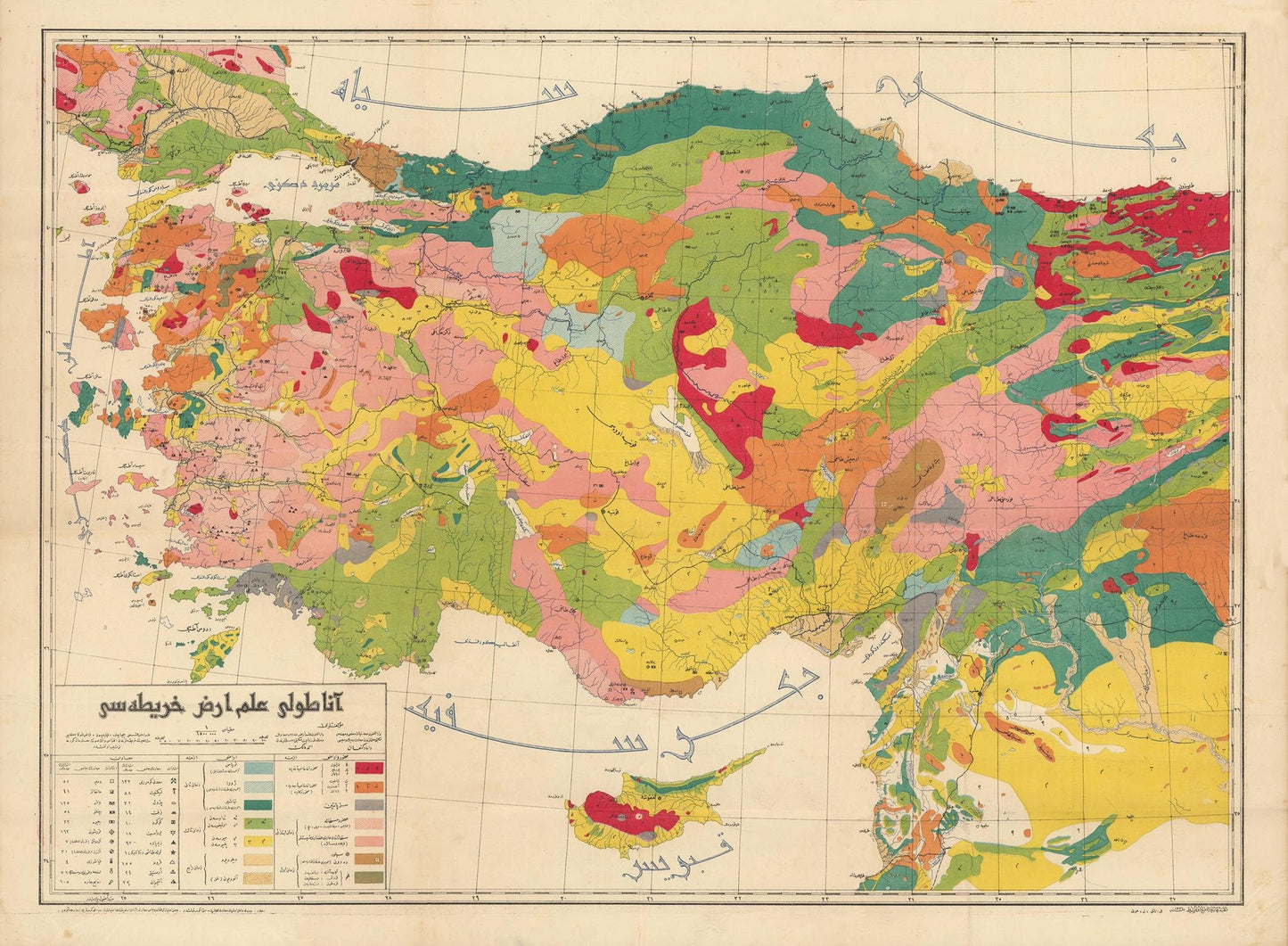
Old turkish language geological map of Anatolia, 1920
SKU: 193937
Old turkish language geological map of Anatolia, 1920
No se pudo cargar la disponibilidad de retiro
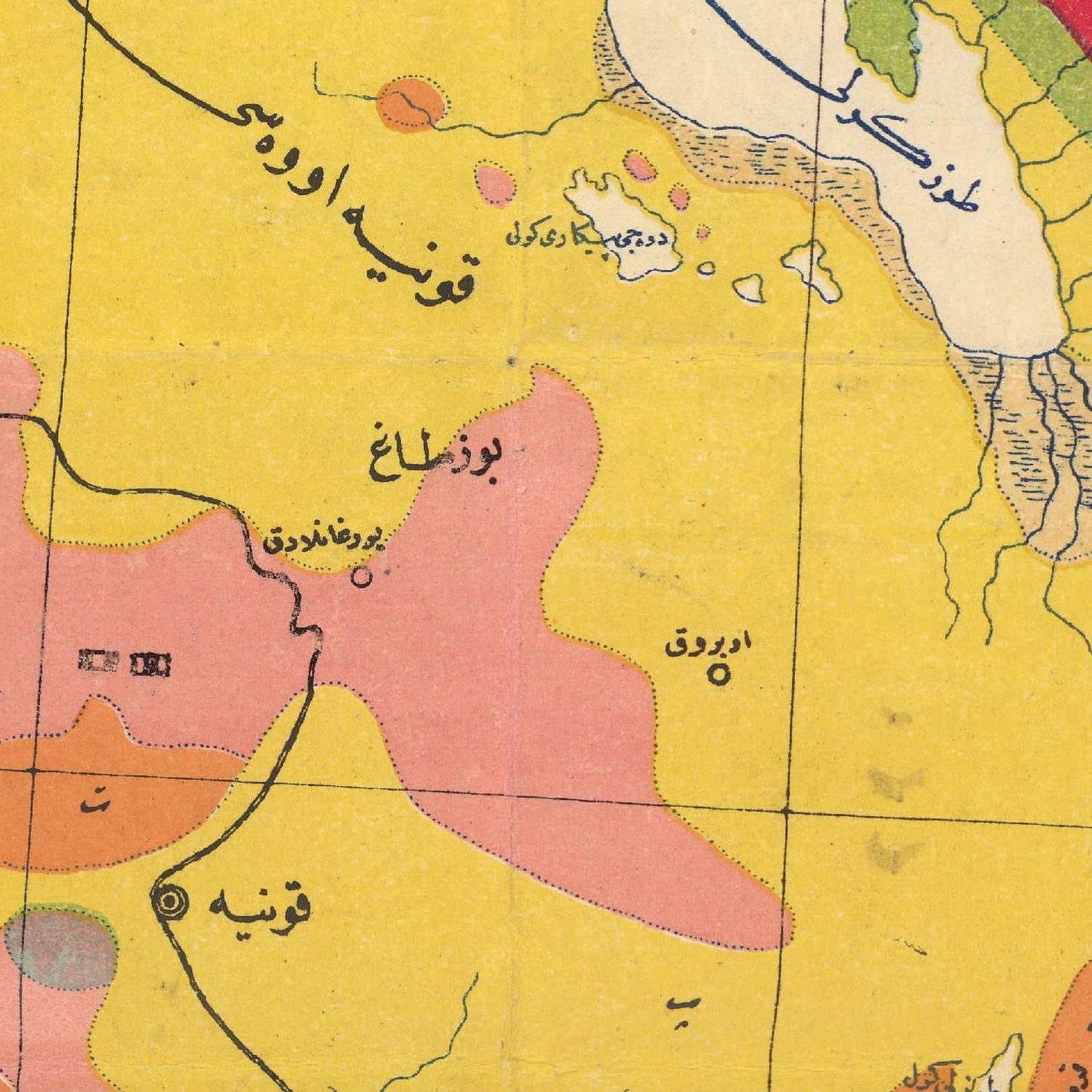
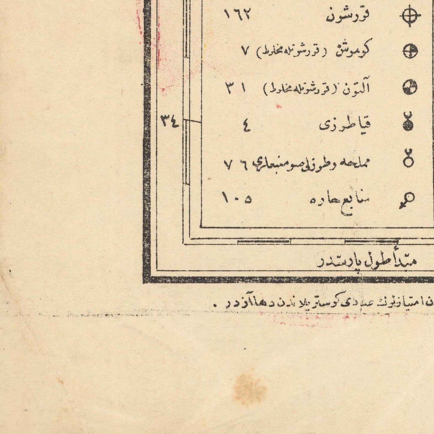
The first proper geological map of Turkey was a significant and separately published work created by professors Damat Kenan and Ahmet Malik Sayar in 1920, during the twilight of the Ottoman Empire. This map laid the foundation for both scientific exploration and commercial development during the upcoming Turkish Republican Era. It was printed in Ottoman Turkish text and featured resplendent original colors, making it a rare and large-format publication.
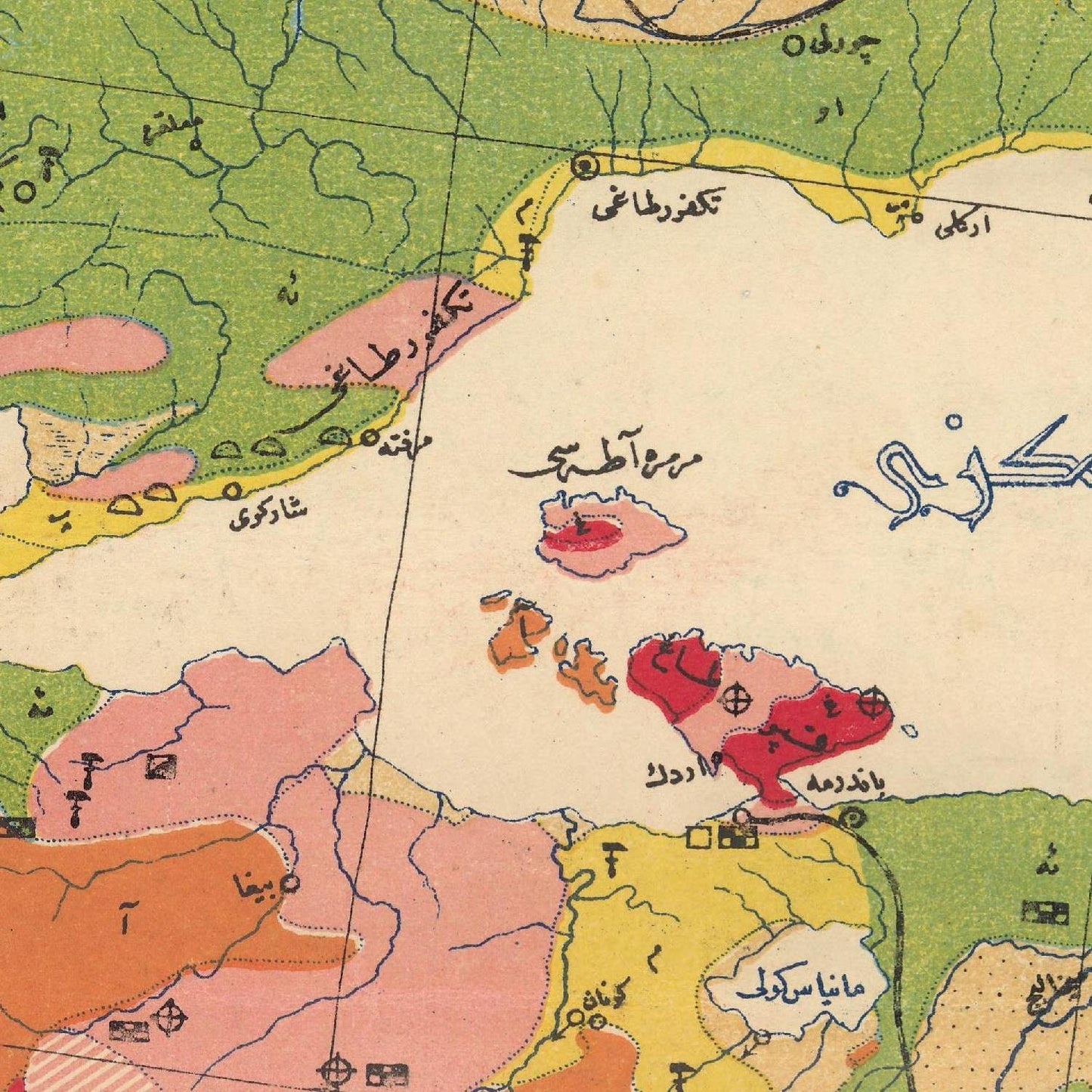
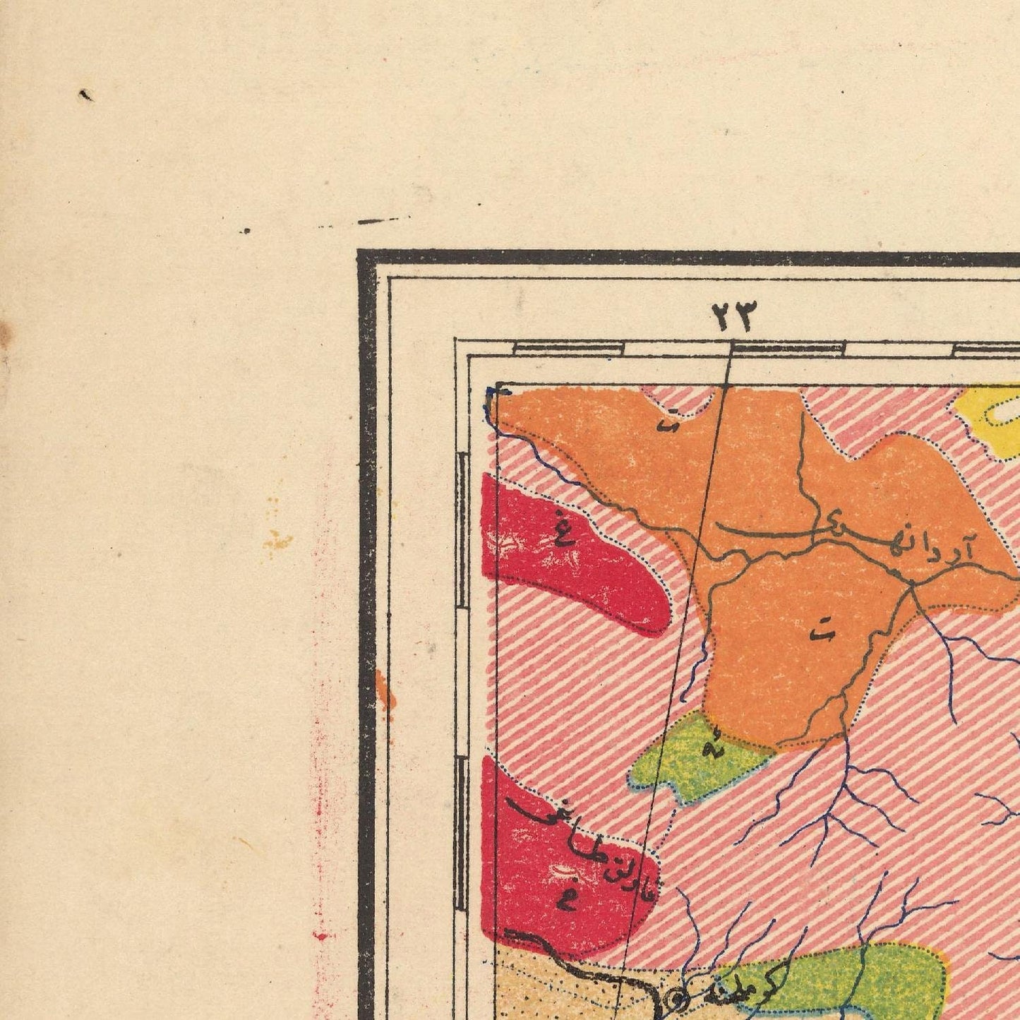
The map covered the western three-quarters of Anatolia, extending just east of Trabzon, as well as all of Cyprus, parts of Northern Syria and Lebanon (south to Homs and Tripoli), and Eastern Thrace. The region depicted lay along the Alpine-Himalayan tectonic belt, displaying unusually complex geology. The professors identified and distinguished 14 distinct geological zones, each marked with its own resplendent hue.
In addition to geological features, the map also indicated numerous mineral deposits, mines, and quarries, involving 22 different minerals. It provided essential information on the locations of major harbors and the region's railroads, including the partially completed Baghdad Railway, which aimed to connect Constantinople with Baghdad. These transportation networks were vital for efficiently bringing minerals to market.
Prior to the creation of this comprehensive map, only geological maps of specific Turkish locales and rough geological sketch maps of the greater region existed. However, the new work offered the first accurate and comprehensive overview of the geology and mining industry in Anatolia and neighboring areas, becoming the basis for the study of geology and resource development in Turkey for years to come.
The map was published just before the collapse of the Ottoman Empire, and it coincided with the rise of Turkey as a new nation. The period marked the Turkish War of Independence (1919-1922), during which Mustafa Kemal Pasha, later known as 'Atatürk,' led Turkish nationalist forces to remove foreign occupations from Anatolia, Constantinople, and Eastern Thrace. In 1923, Atatürk proclaimed the Republic of Turkey and undertook significant efforts to modernize and strengthen the nation.
Materials
Materials
Cotton canvas, matte photo paper, fine art paper, pigmented inks.
- The canvas it's 99 % cotton, 450 gr/sqm;
- The matte photo paper it's acid-free (archival paper), 190 gr/sqm;
- The fine art photo paper it's satinated (semi-glossy), 140 gr/sqm.
Shipping & Returns
Shipping & Returns
Dispatching time: 1-2 days.
* Standard shipping fee: The orders will be sent by priority registered mail, usually via client National Post (USPS, Canada Post, Royal Mail, LaPoste, Deutsche Post, PostNL, etc). The delivery times are not guaranteed, sometimes it will take longer and these are beyond our control. Tracking number will be provided. Clients from US and Canada cannot track the parcels as the tracking numbers are not rolled in USPS and Canada Post systems.
* UPS standard: The orders will be sent with UPS expedited option. The delivery time it's between 5-11 days. Tracking number will be provided after dispatch.
* UPS express: The orders will be sent with UPS express saver. The delivery time it's between 4-7 days. Tracking number will be provided after dispatch.
Framing tips
Framing tips
Both type of materials, paper and canvas prints come rolled and will be need to be taken to your local framers.
The image it's printed with a border of 0.6 " (1.5 cm), for framing purposes only.
If you have already a frame, be sure you send us the exact size of the print that will fit inside the frame. We're printing on vectorial plotters so the size could slightly be more or less with 0.4" (1 cm).
If you plan to have the canvas print stretched on wooden frame, you'll need additional border, so please let us know after placing the order.
The images above was cropped from the image at the biggest size available (keeping the best quality and aspect /ratio), so, for good details please choose biggest dimensions that will suit your preferences / space.
Care Instructions
Care Instructions
The print media (canvas or photo paper) could be cleaned only with a dry, soft cloth.
Share
Wine maps
Explore the rich history of wine through centuries-old maps. Dive into the heritage, culture, and geography of wine regions with our collection of vintage wine maps.
These meticulously preserved historical treasures offer a window into the evolution of viticulture, showcasing how wine regions have transformed over the centuries.
-
Gastronomic maps
Dive into a world of culinary exploration with our collection of gastronomic maps – your passport to gastronomic adventures like no other. Discover the intricate art of cheese-making and the exquisite world of gourmet delights through our meticulously curated Cheese Maps and Gastronomic Maps.
-
Empires maps
Travel through history as you explore the territorial expanse, conquests, and cultural influences of some of the world's most powerful civilizations. Our antique maps bring the epic tales of empires to life, offering a captivating glimpse into the rise and fall of these extraordinary realms. See all empires maps >


