Passer aux informations produits
1 de 7

Ancient Isle of Wight to Dover map, 1588

SKU:  195497

Ancient Isle of Wight to Dover map, 1588

Prix habituel €73,78 EUR
Prix habituel Prix promotionnel €73,78 EUR
En vente Épuisé
Taxes incluses. Frais d'expédition calculés à l'étape de paiement.

Lucas Janszoon Waghenaer’s Isle of Wight to Dover, published in 1588, is a superb example of early modern nautical cartography and one of the landmark works in the history of European sea charts. Waghenaer was a pioneering Dutch cartographer whose publications transformed the presentation of navigational information for mariners during the great age of European maritime expansion.

The chart depicts the strategically important waters surrounding the southern coast of England, extending from the Isle of Wight eastward toward Dover and the Strait of Dover. This maritime corridor was among the busiest and most strategically significant waterways in northern Europe. It connected the English Channel with the North Sea and provided access to the major commercial ports of England, France, the Low Countries, and beyond.

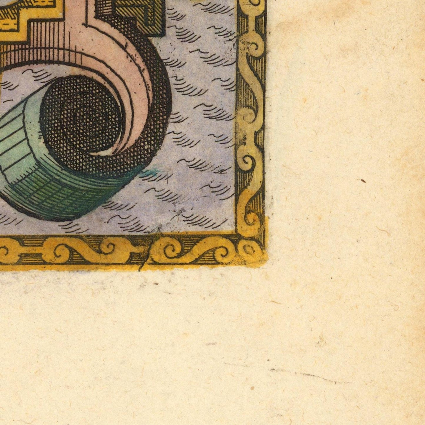
Waghenaer combines practical navigational information with an exceptionally decorative artistic style. Coastal outlines are carefully rendered, while prominent headlands, bays, islands, ports, and settlements are identified for the benefit of sailors. The chart is enriched with sailing ships, sea monsters, compass roses, rhumb lines, and elaborate ornamental elements characteristic of sixteenth-century Dutch nautical engraving.

The year 1588 gives the chart particular historical importance. It coincides with the year of the Spanish Armada, when the waters of the English Channel became the setting for one of the most famous naval confrontations in European history. Although Waghenaer's chart was primarily a navigational work rather than a record of the Armada campaign, its depiction of the English Channel illustrates the maritime geography through which fleets, merchant vessels, and privateers regularly navigated during this turbulent period.

Waghenaer's great contribution was to make nautical charts more accessible and visually coherent for professional mariners. His Spieghel der Zeevaerdt (The Mariner's Mirror), first published in 1584–1585, became one of the most influential pilot books of the period and established conventions that shaped European sea-chart production for generations.

This chart is therefore valuable not only for its geographical information but also for its historical association with the maritime world of Elizabethan England and the Dutch Golden Age. For collectors of antique maps, nautical charts, naval history, maritime exploration, and English Channel history, Waghenaer's Isle of Wight to Dover is an exceptional example of Renaissance cartography.

Combining navigational utility, historical significance, and extraordinary decorative craftsmanship, the 1588 chart offers a fascinating glimpse into the coastal waters of northern Europe at the dawn of the modern age of navigation.

Materials

Cotton canvas, matte photo paper, fine art paper, pigmented inks.

  • The canvas it's 99 % cotton, 450 gr/sqm;
  • The matte photo paper it's acid-free (archival paper), 190 gr/sqm;
  • The fine art photo paper it's satinated (semi-glossy), 140 gr/sqm.

Shipping & Returns

Dispatching time: 1-2 days.

* Standard shipping fee: The orders will be sent by priority registered mail, usually via client National Post (USPS, Canada Post, Royal Mail, LaPoste, Deutsche Post, PostNL, etc). The delivery times are not guaranteed, sometimes it will take longer and these are beyond our control. Tracking number will be provided. Clients from US and Canada cannot track the parcels as the tracking numbers are not rolled in USPS and Canada Post systems.

UPS standard: The orders will be sent with UPS expedited option. The delivery time it's between 5-11 days. Tracking number will be provided after dispatch.

UPS express: The orders will be sent with UPS express saver. The delivery time it's between 4-7 days. Tracking number will be provided after dispatch.

Framing tips

Both type of materials, paper and canvas prints come rolled and will be need to be taken to your local framers.

The image it's printed with a border of 0.6 " (1.5 cm), for framing purposes only.

If you have already a frame, be sure you send us the exact size of the print that will fit inside the frame. We're printing on vectorial plotters so the size could slightly be more or less with 0.4" (1 cm).

If you plan to have the canvas print stretched on wooden frame, you'll need additional border, so please let us know after placing the order.

The images above was cropped from the image at the biggest size available (keeping the best quality and aspect /ratio), so, for good details please choose biggest dimensions that will suit your preferences / space.

Care Instructions

The print media (canvas or photo paper) could be cleaned only with a dry, soft cloth.

Afficher tous les détails

Wine maps

Explore the rich history of wine through centuries-old maps. Dive into the heritage, culture, and geography of wine regions with our collection of vintage wine maps.

These meticulously preserved historical treasures offer a window into the evolution of viticulture, showcasing how wine regions have transformed over the centuries.

  • Gastronomic maps

    Dive into a world of culinary exploration with our collection of gastronomic maps – your passport to gastronomic adventures like no other. Discover the intricate art of cheese-making and the exquisite world of gourmet delights through our meticulously curated Cheese Maps and Gastronomic Maps.

  • Empires maps

    Travel through history as you explore the territorial expanse, conquests, and cultural influences of some of the world's most powerful civilizations. Our antique maps bring the epic tales of empires to life, offering a captivating glimpse into the rise and fall of these extraordinary realms. See all empires maps >