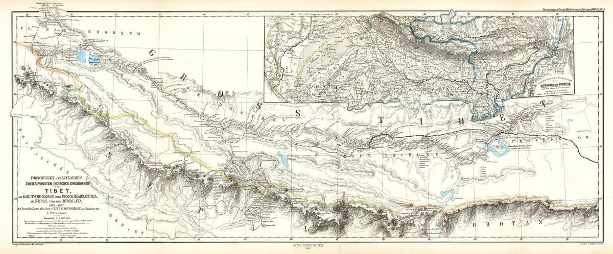
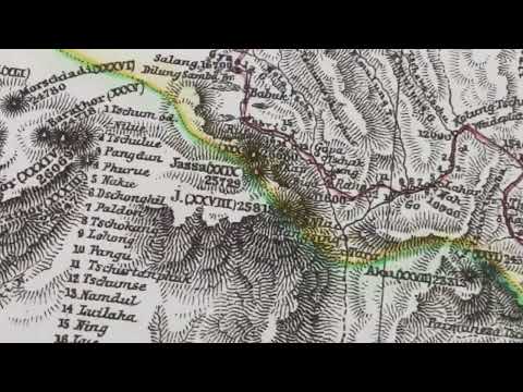
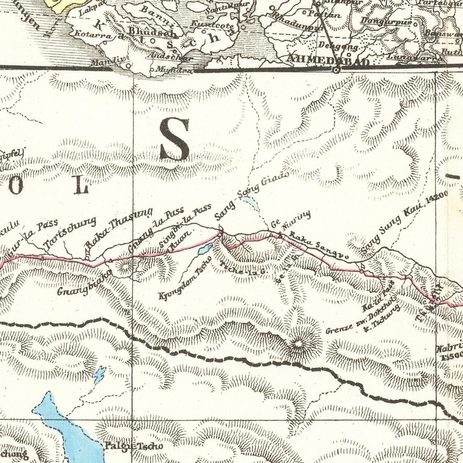
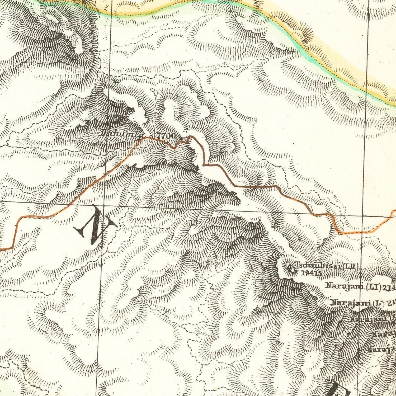
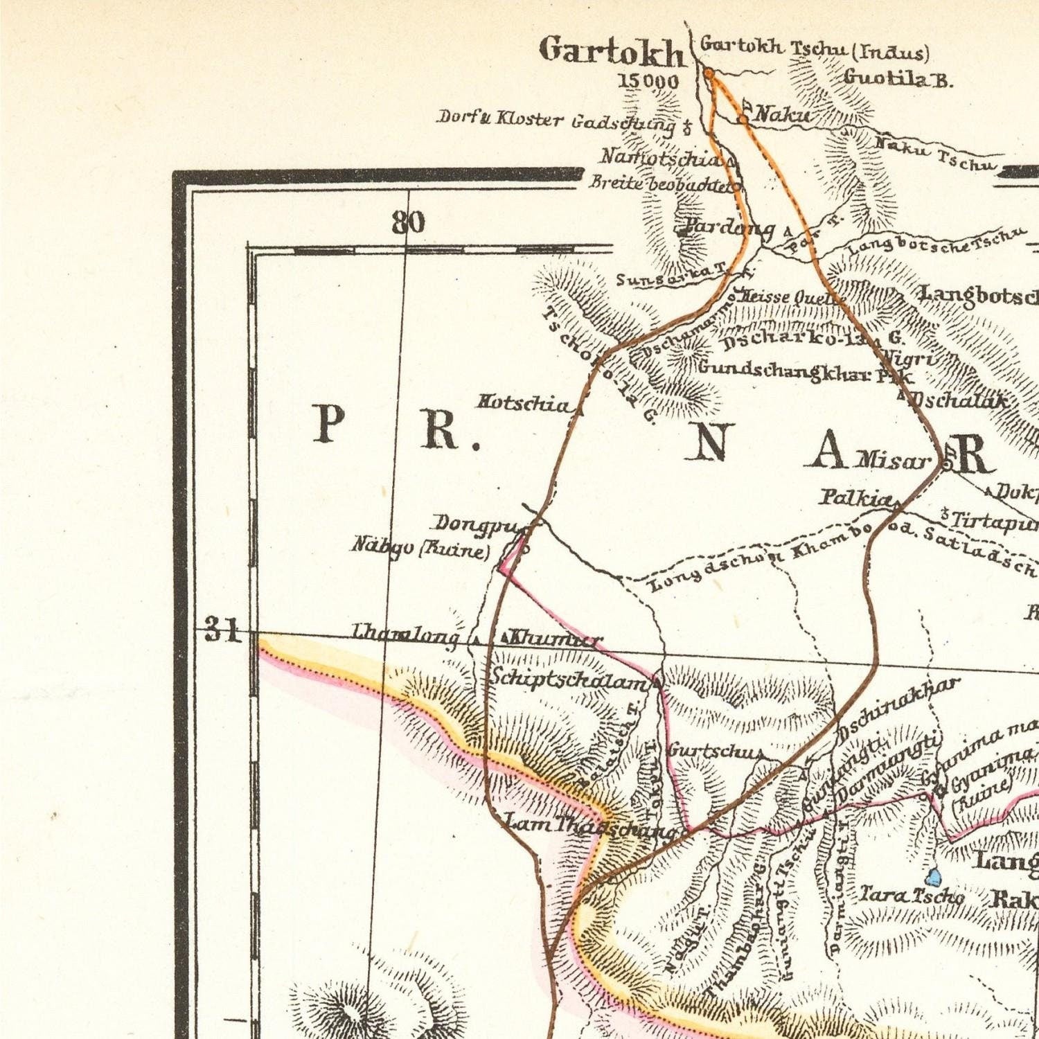
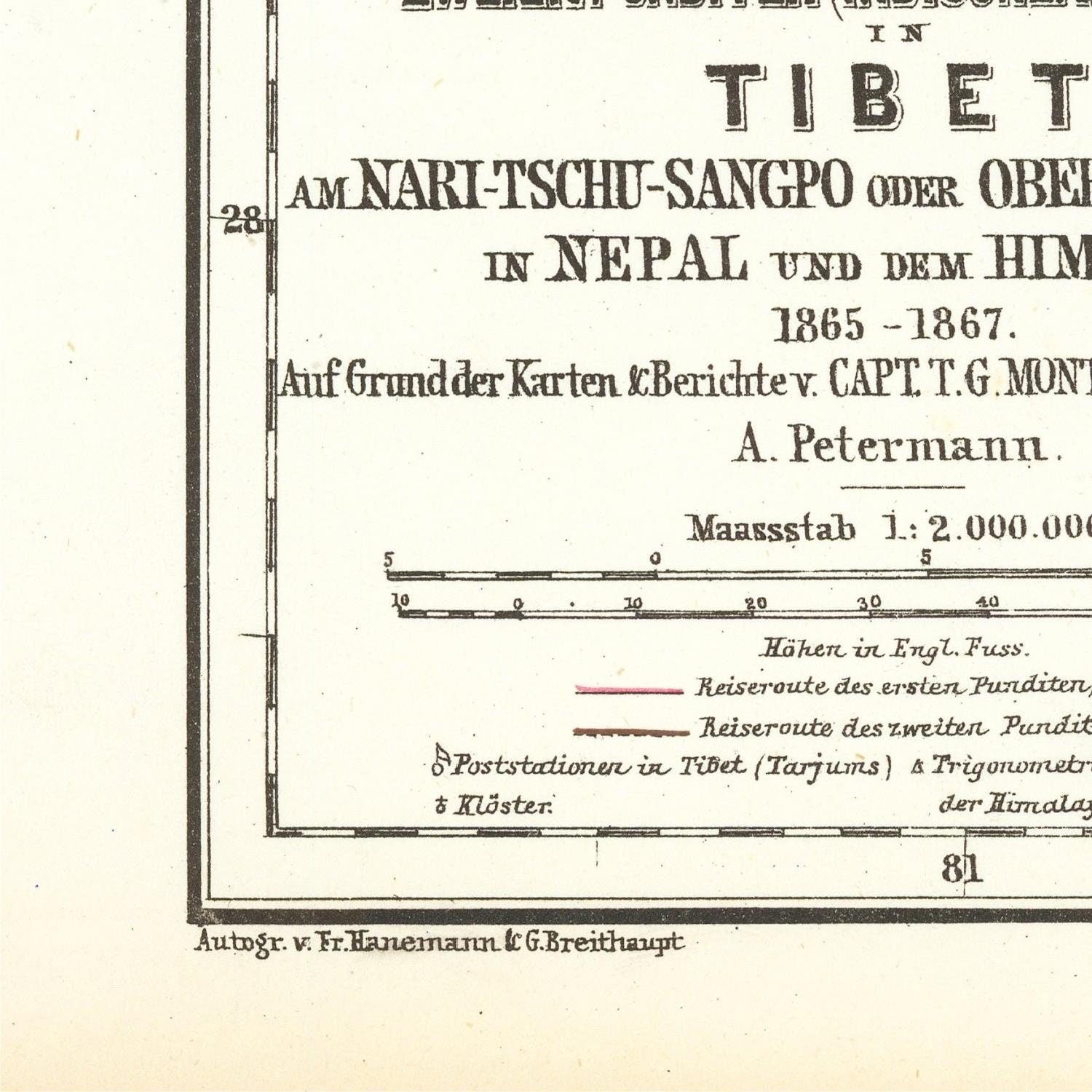
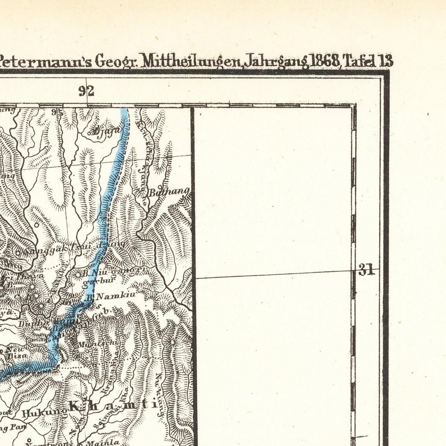
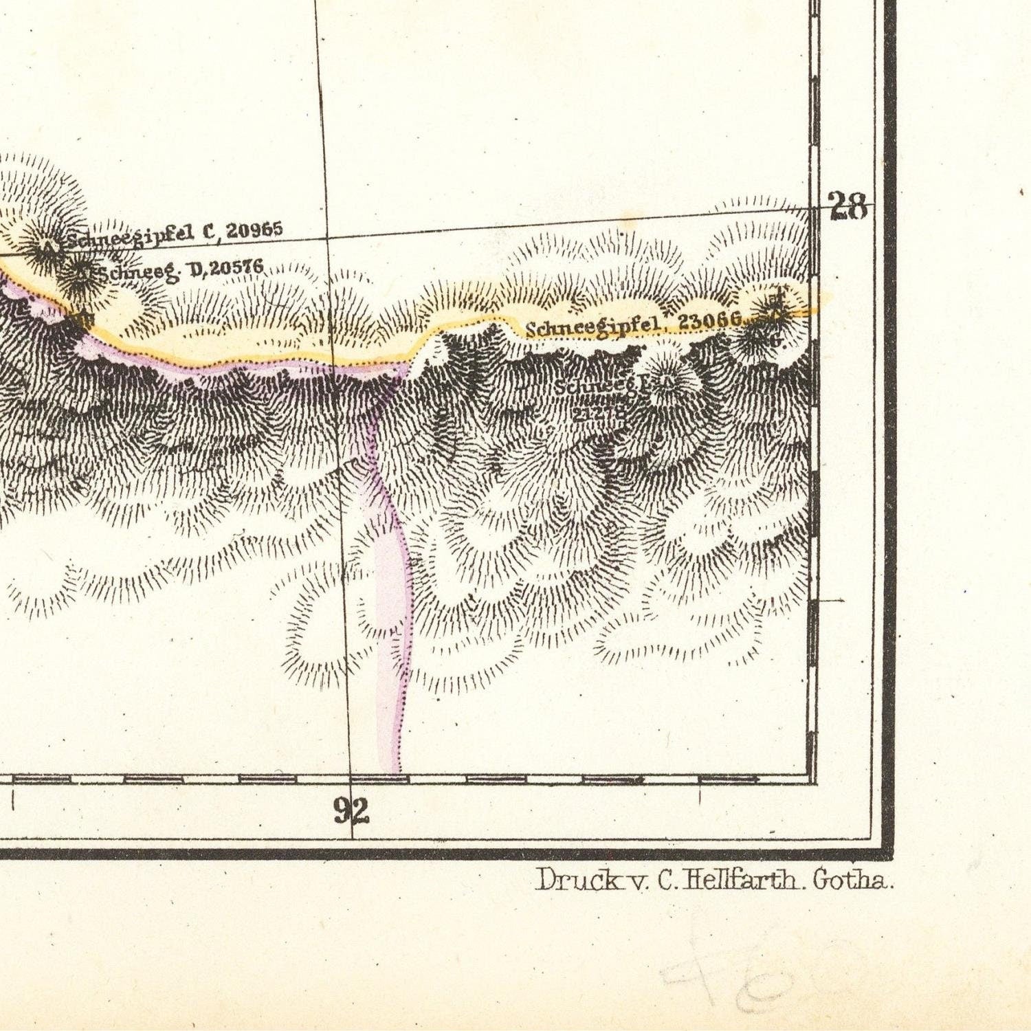
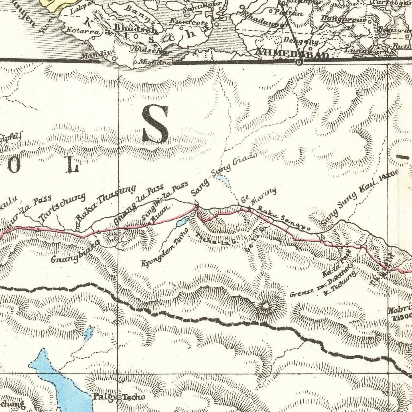
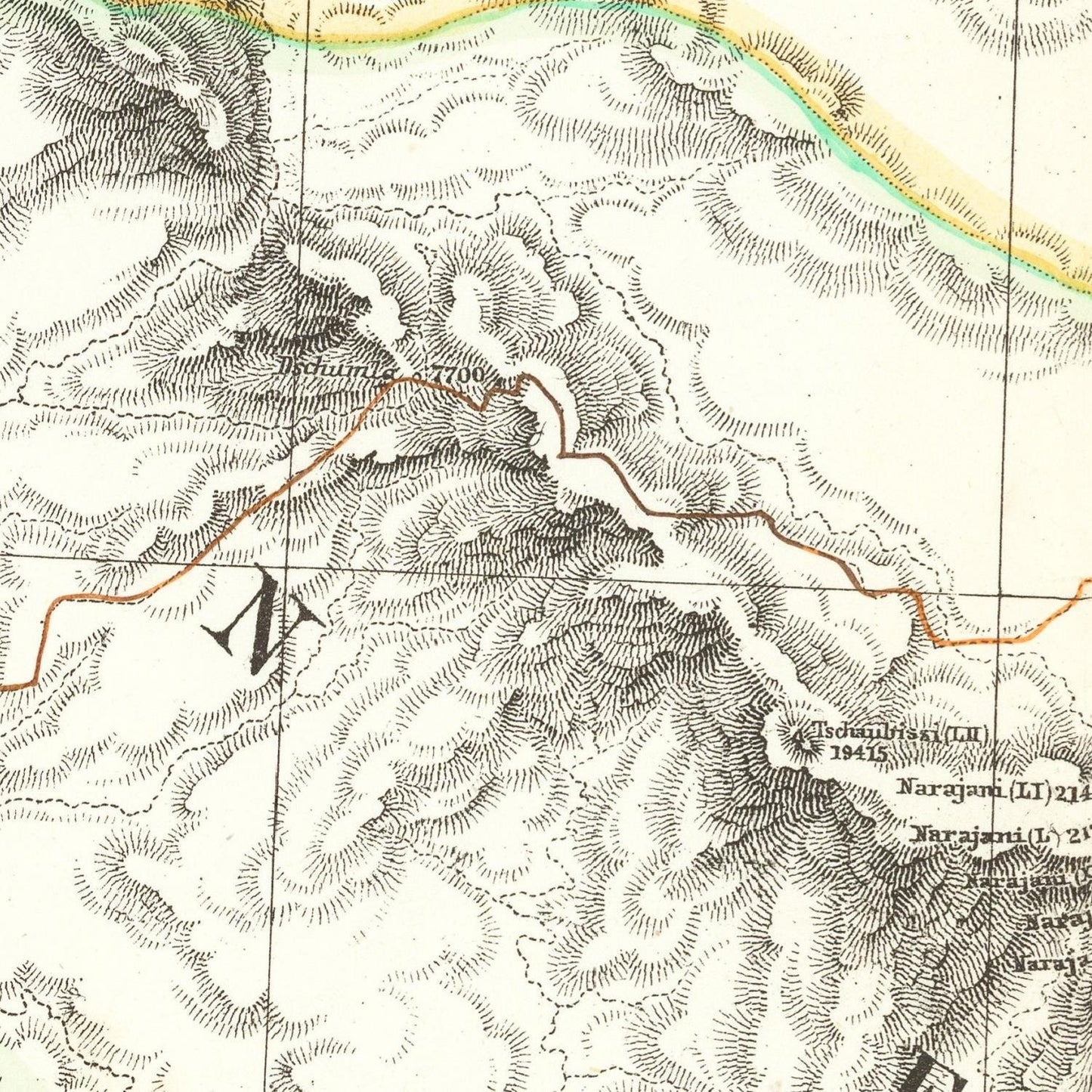
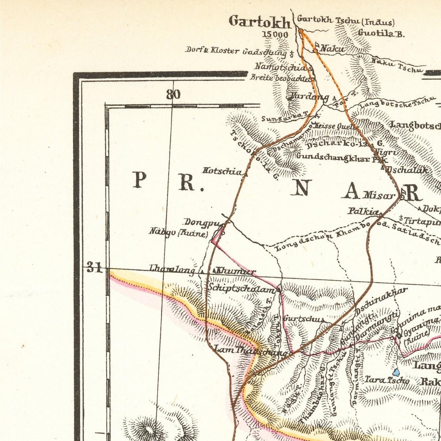
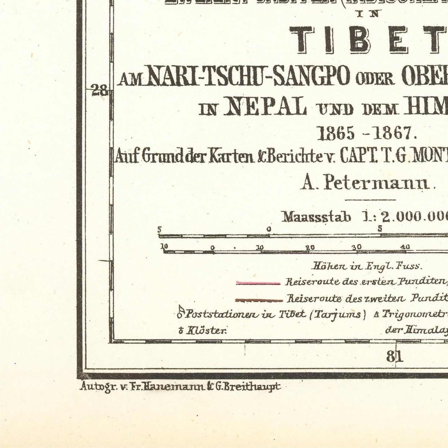
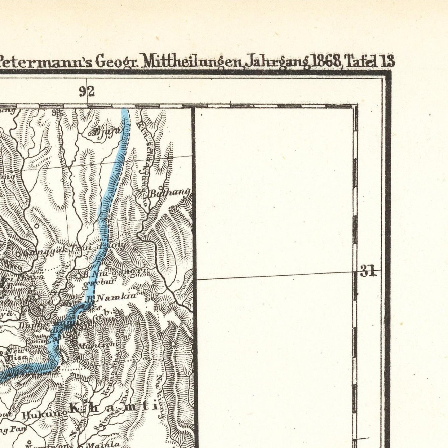
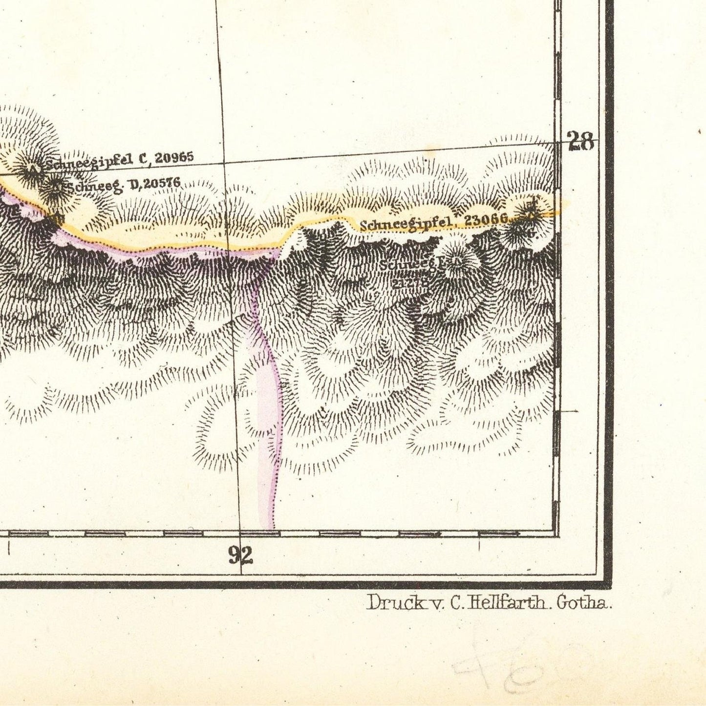
Antique map of Himalayan border, Everest, K2, Tibetan mountains, 1868
SKU: 188836
Antique map of Himalayan border, Everest, K2, Tibetan mountains, 1868
Impossible de charger la disponibilité du service de retrait
Augustus Herman Petermann was a German geographer and cartographer who lived from 1822 to 1878. He was known for his significant contributions to the field of geography during the 19th century. Petermann's work focused on mapping and exploring various regions, including the Himalayas.
In 1868, the British Survey of India conducted the Great Trigonometric Survey, an extensive surveying and mapping project to measure the heights of various peaks in the Himalayas. It was during this time that Mount Everest and K2, two of the world's highest peaks, gained considerable attention.
Mount Everest, known as Chomolungma in Tibetan and Sagarmatha in Nepali, is the tallest mountain on Earth, reaching an elevation of 8,848.86 meters (29,031.7 feet). Although known to the local people, it wasn't until 1852 that it was calculated as the highest peak in the world by the Survey of India and later named after Sir George Everest, the British surveyor-general of India at the time.
K2, also known as Mount Godwin-Austen or Chhogori, is the second-highest mountain on Earth, standing at an elevation of 8,611 meters (28,251 feet). It is located on the border between China and Pakistan, within the Karakoram mountain range.
During the mid-19th century, these high peaks and the entire Himalayan region were of great interest to geographers, explorers, and mountaineers from different countries. The fascination with conquering these challenging peaks, especially Mount Everest and K2, would eventually lead to numerous expeditions in the following decades, including the famous British Mount Everest Expedition of 1921 and 1922 and the successful ascent of Mount Everest by Sir Edmund Hillary and Tenzing Norgay in 1953.
Petermann was born in Bleckede, a town in the Kingdom of Hanover (now part of Germany). He developed a keen interest in geography and cartography from an early age, and his passion for exploration and mapping led him to pursue a career in the field.
In 1854, Augustus Petermann founded the "Geographische Mittheilungen," a geographical journal that became one of the most important geographical publications of its time. Through this journal, he facilitated the exchange of geographical information among explorers, scientists, and geographers from around the world. The journal played a crucial role in disseminating the findings of various explorations and surveys, contributing to the collective understanding of geography and the Earth's surface.
Materials
Materials
Cotton canvas, matte photo paper, fine art paper, pigmented inks.
- The canvas it's 99 % cotton, 450 gr/sqm;
- The matte photo paper it's acid-free (archival paper), 190 gr/sqm;
- The fine art photo paper it's satinated (semi-glossy), 140 gr/sqm.
Shipping & Returns
Shipping & Returns
Dispatching time: 1-2 days.
* Standard shipping fee: The orders will be sent by priority registered mail, usually via client National Post (USPS, Canada Post, Royal Mail, LaPoste, Deutsche Post, PostNL, etc). The delivery times are not guaranteed, sometimes it will take longer and these are beyond our control. Tracking number will be provided. Clients from US and Canada cannot track the parcels as the tracking numbers are not rolled in USPS and Canada Post systems.
* UPS standard: The orders will be sent with UPS expedited option. The delivery time it's between 5-11 days. Tracking number will be provided after dispatch.
* UPS express: The orders will be sent with UPS express saver. The delivery time it's between 4-7 days. Tracking number will be provided after dispatch.
Framing tips
Framing tips
Both type of materials, paper and canvas prints come rolled and will be need to be taken to your local framers.
The image it's printed with a border of 0.6 " (1.5 cm), for framing purposes only.
If you have already a frame, be sure you send us the exact size of the print that will fit inside the frame. We're printing on vectorial plotters so the size could slightly be more or less with 0.4" (1 cm).
If you plan to have the canvas print stretched on wooden frame, you'll need additional border, so please let us know after placing the order.
The images above was cropped from the image at the biggest size available (keeping the best quality and aspect /ratio), so, for good details please choose biggest dimensions that will suit your preferences / space.
Care Instructions
Care Instructions
The print media (canvas or photo paper) could be cleaned only with a dry, soft cloth.
Share
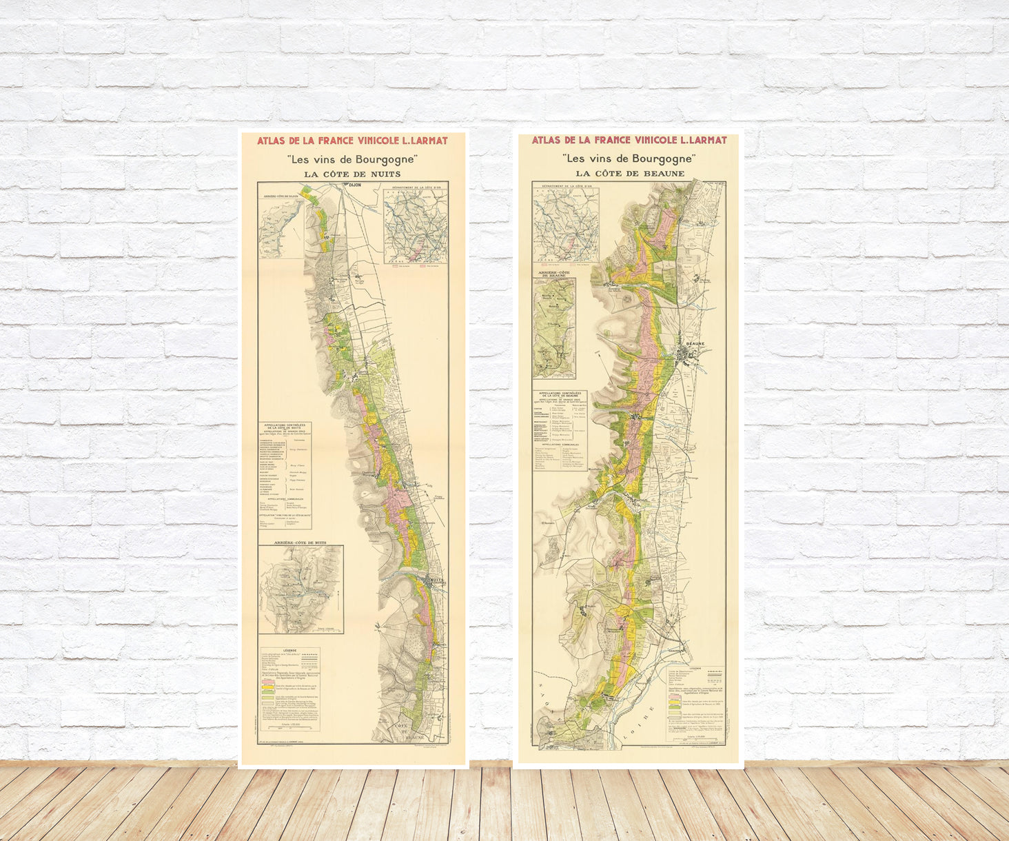
Wine maps
Explore the rich history of wine through centuries-old maps. Dive into the heritage, culture, and geography of wine regions with our collection of vintage wine maps.
These meticulously preserved historical treasures offer a window into the evolution of viticulture, showcasing how wine regions have transformed over the centuries.
-
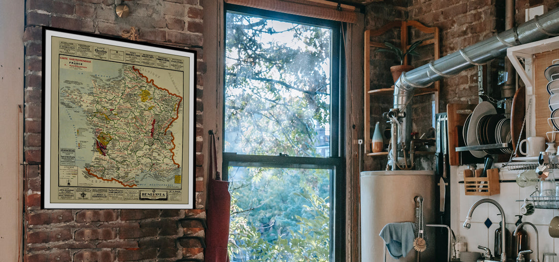
Gastronomic maps
Dive into a world of culinary exploration with our collection of gastronomic maps – your passport to gastronomic adventures like no other. Discover the intricate art of cheese-making and the exquisite world of gourmet delights through our meticulously curated Cheese Maps and Gastronomic Maps.
-
Empires maps
Travel through history as you explore the territorial expanse, conquests, and cultural influences of some of the world's most powerful civilizations. Our antique maps bring the epic tales of empires to life, offering a captivating glimpse into the rise and fall of these extraordinary realms. See all empires maps >

