Impossible de charger la disponibilité du service de retrait
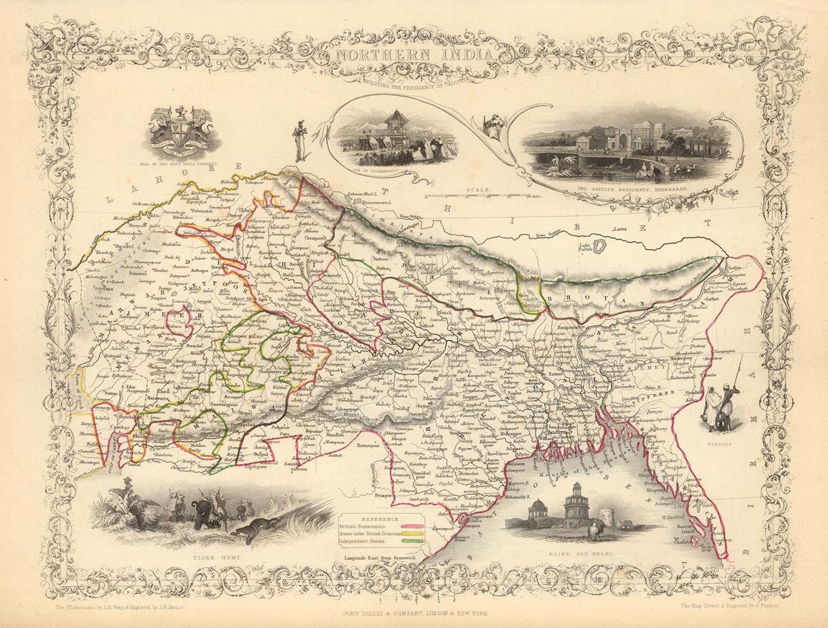
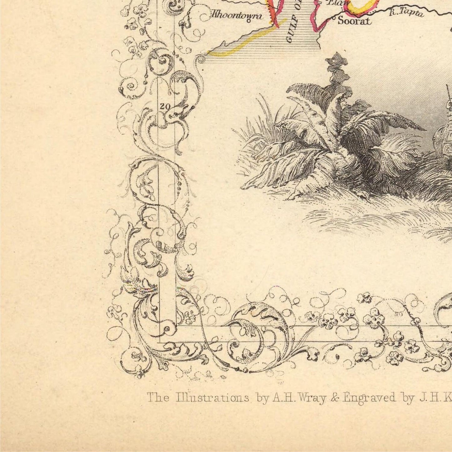
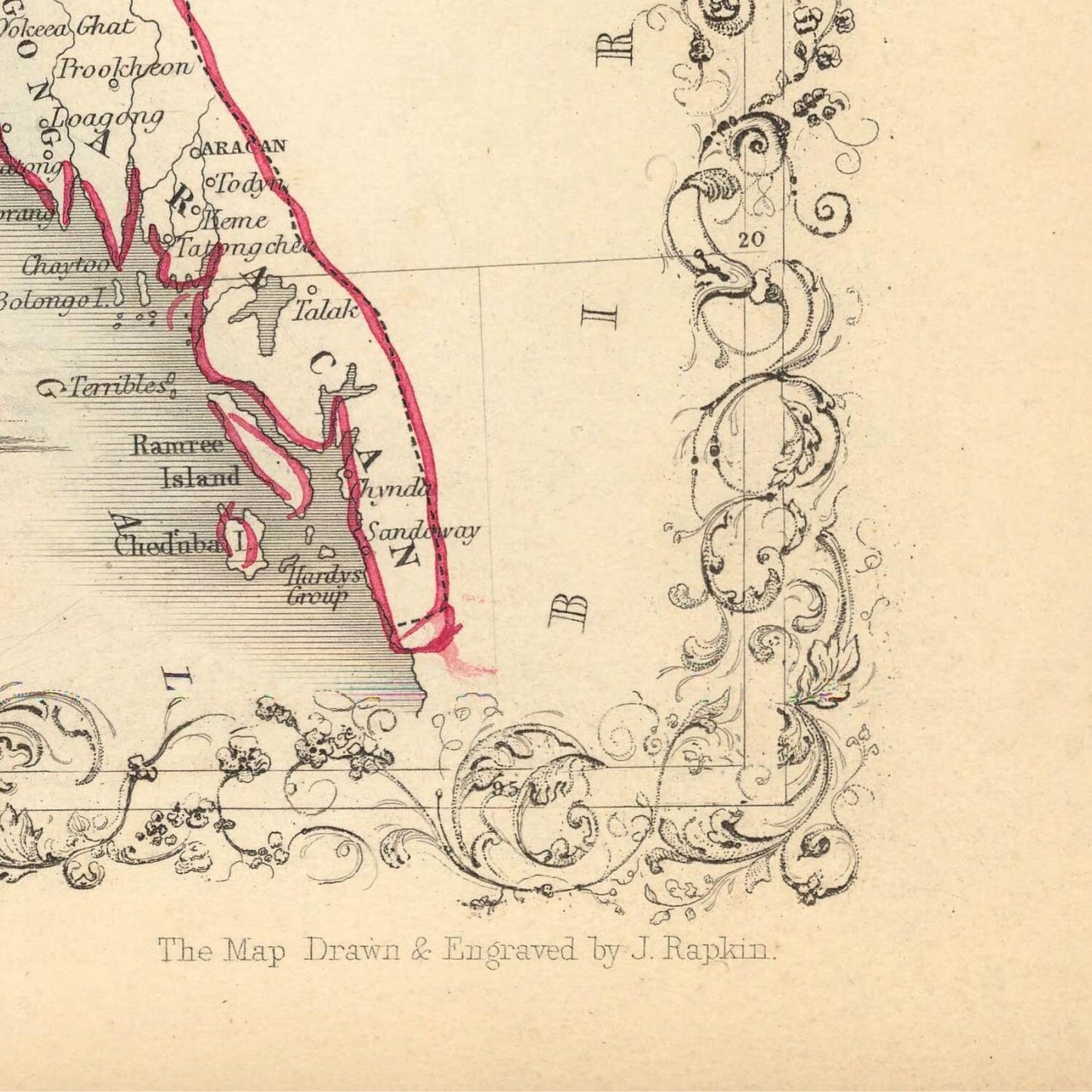
The cartographic masterpiece known as "Northern India," meticulously crafted by the skilled hands of J. Rapkin and J. Tallis, emerged into the world in the year 1851. This exquisite creation stands as a testament to their artistry and dedication to geographical precision, offering a vivid snapshot of the northern reaches of the Indian subcontinent. A steel engraved marvel, it not only outlines the territorial boundaries but also encapsulates the essence of the era, portraying a landscape characterized by diversity and British colonial presence.
At its heart, this map serves as a visual gateway to Northern India, encompassing vast expanses of territory, including the historic regions of Punjab, the enchanting realms of Kashmir, the lofty heights of Nepal, and the mystical allure of Bhutan. Each of these regions, with their distinct cultures and landscapes, is meticulously represented, granting viewers a glimpse into the multifaceted tapestry of this vibrant subcontinent.
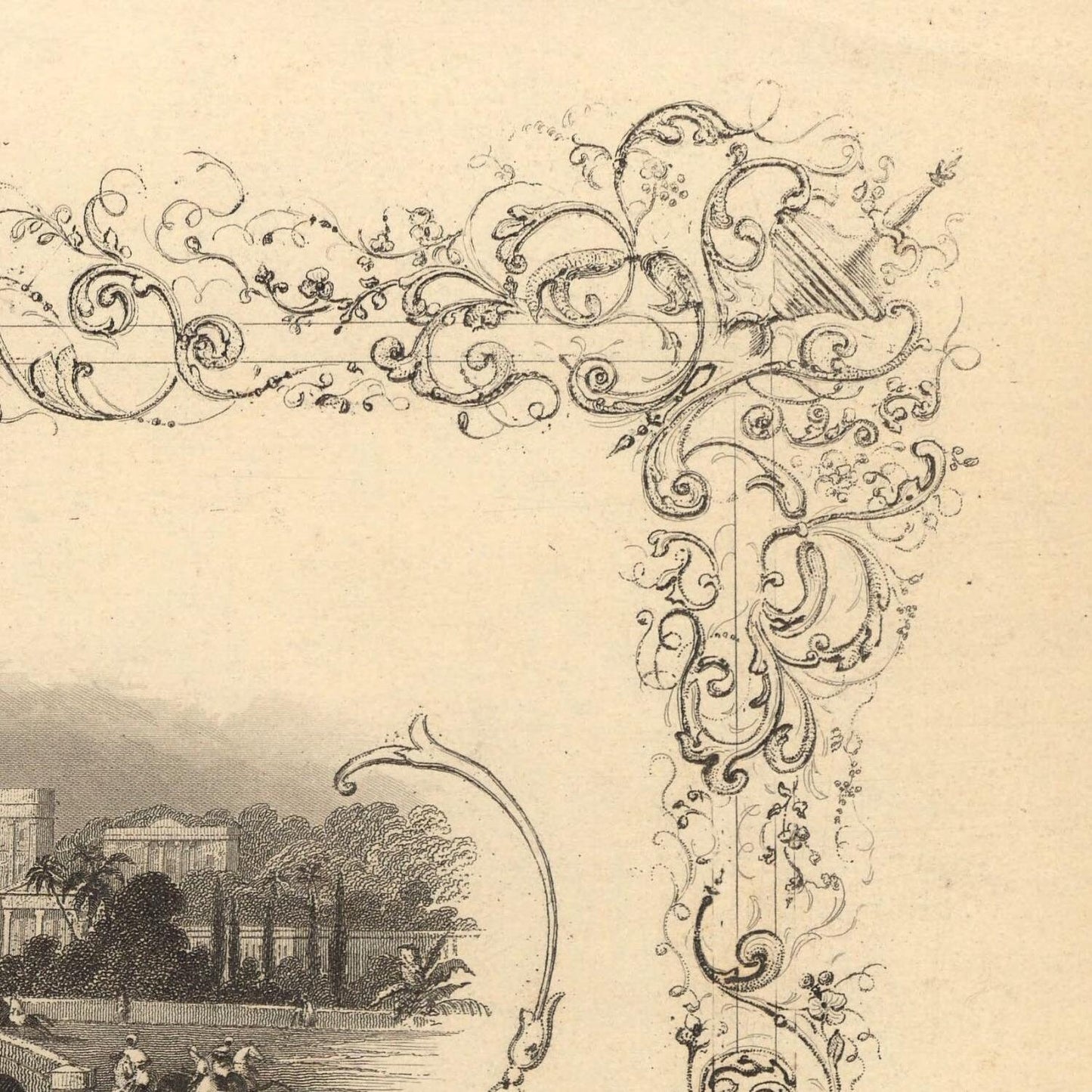
What sets this map apart are the intricate vignette scenes adorning its margins. These miniature masterpieces transport us to another time, providing intimate snapshots of life in 19th-century India. Among these captivating vignettes are depictions of The British Residency at Hydrabad, a testament to the colonial presence, and the hauntingly beautiful Ruins of Old Delhi, which whisper tales of bygone empires and epochs.
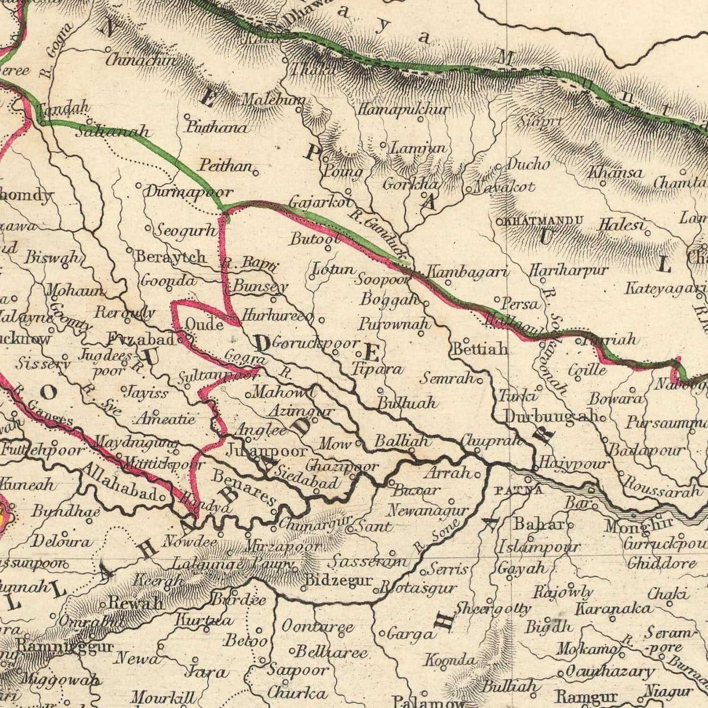
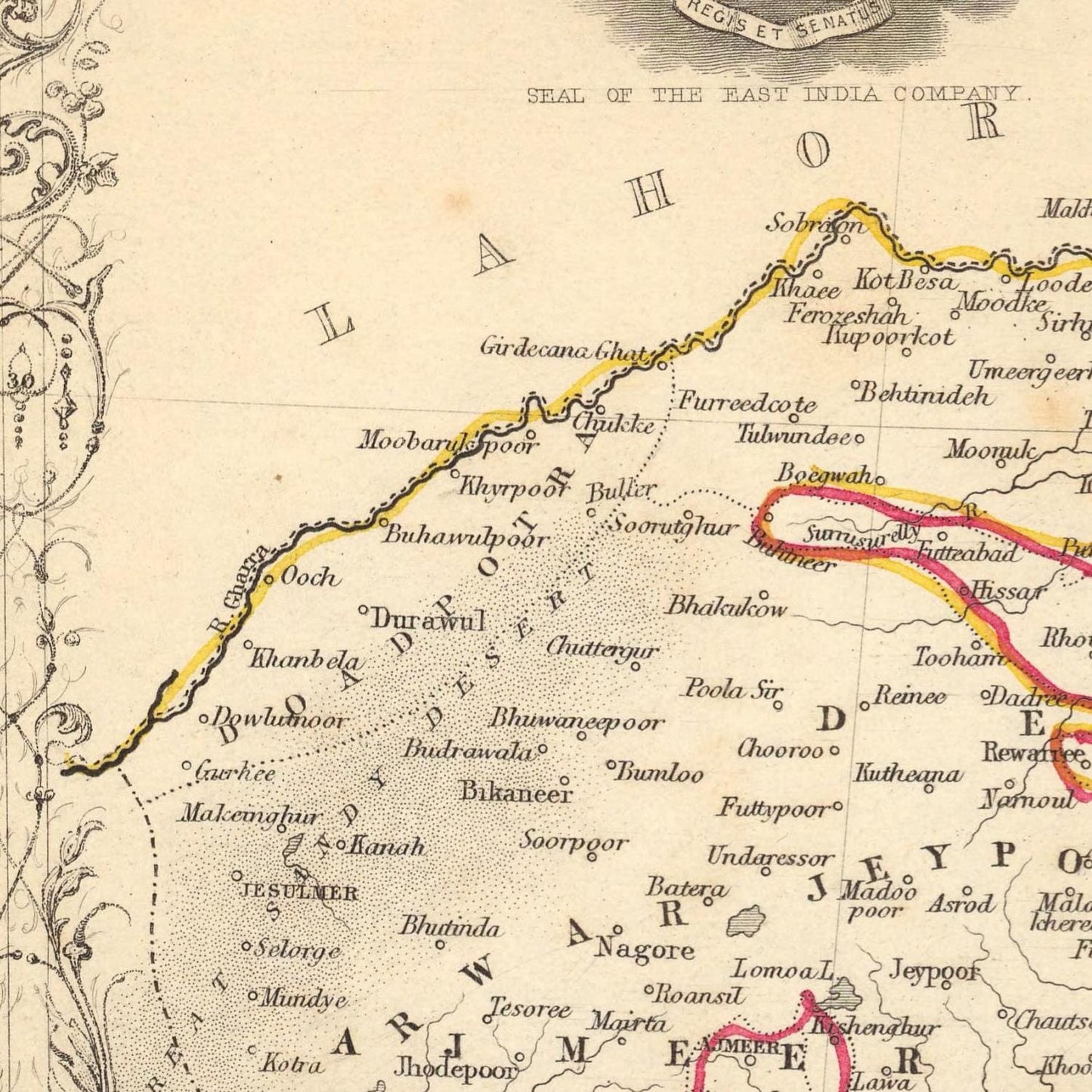
Delving into the cartographic details, this map unfurls the political boundaries of India as they stood in the year 1851. It serves as an invaluable guide, revealing the locations of major cities, towns, villages, rivers, and mountains. Every geographical feature is meticulously etched onto the canvas, ensuring that the viewer can navigate the terrain in their mind's eye. The map doesn't merely demarcate landforms; it is a living, breathing document that paints a vivid portrait of Northern India's topography.
Moreover, the map captures the essence of an era defined by British colonialism. It intricately documents the presence of British forts, trading posts, and other establishments that dotted the landscape. These markers of imperialism are etched into the very fabric of the map, providing a tangible representation of the British Raj's reach into the Indian hinterlands.
However, what truly sets this map apart are the evocative vignette scenes that grace its borders. These scenes are not merely illustrations but portals to the past, offering a tantalizing glimpse into the culture and society of 19th-century India. They capture moments frozen in time: bustling bazaars, regal palaces, and the everyday lives of the people who inhabited this captivating land.
For historians and geographers, this map is nothing short of a treasure trove. It encapsulates an entire epoch within its meticulously drawn contours. It is a window into a time when empires rose and fell, cultures intermingled, and a new chapter in India's history was being written. The map, with its intricate details and vivid vignettes, is an indispensable tool for understanding the complexities of Northern India during the 19th century.
In conclusion, the map "Northern India" by J. Rapkin and J. Tallis is more than a geographical representation; it is a work of art and historical significance. Its detailed cartography, accompanied by evocative vignettes, offers a multi-dimensional view of Northern India in 1851, replete with political boundaries, geographical features, and the enduring legacy of British colonialism. It is a captivating journey through time and space, a tribute to the rich tapestry of India's history, and an essential resource for anyone seeking to unravel the mysteries of this fascinating region during the 19th century.
Materials
Materials
Cotton canvas, matte photo paper, fine art paper, pigmented inks.
- The canvas it's 99 % cotton, 450 gr/sqm;
- The matte photo paper it's acid-free (archival paper), 190 gr/sqm;
- The fine art photo paper it's satinated (semi-glossy), 140 gr/sqm.
Shipping & Returns
Shipping & Returns
Dispatching time: 1-2 days.
* Standard shipping fee: The orders will be sent by priority registered mail, usually via client National Post (USPS, Canada Post, Royal Mail, LaPoste, Deutsche Post, PostNL, etc). The delivery times are not guaranteed, sometimes it will take longer and these are beyond our control. Tracking number will be provided. Clients from US and Canada cannot track the parcels as the tracking numbers are not rolled in USPS and Canada Post systems.
* UPS standard: The orders will be sent with UPS expedited option. The delivery time it's between 5-11 days. Tracking number will be provided after dispatch.
* UPS express: The orders will be sent with UPS express saver. The delivery time it's between 4-7 days. Tracking number will be provided after dispatch.
Framing tips
Framing tips
Both type of materials, paper and canvas prints come rolled and will be need to be taken to your local framers.
The image it's printed with a border of 0.6 " (1.5 cm), for framing purposes only.
If you have already a frame, be sure you send us the exact size of the print that will fit inside the frame. We're printing on vectorial plotters so the size could slightly be more or less with 0.4" (1 cm).
If you plan to have the canvas print stretched on wooden frame, you'll need additional border, so please let us know after placing the order.
The images above was cropped from the image at the biggest size available (keeping the best quality and aspect /ratio), so, for good details please choose biggest dimensions that will suit your preferences / space.
Care Instructions
Care Instructions
The print media (canvas or photo paper) could be cleaned only with a dry, soft cloth.
Share
Wine maps
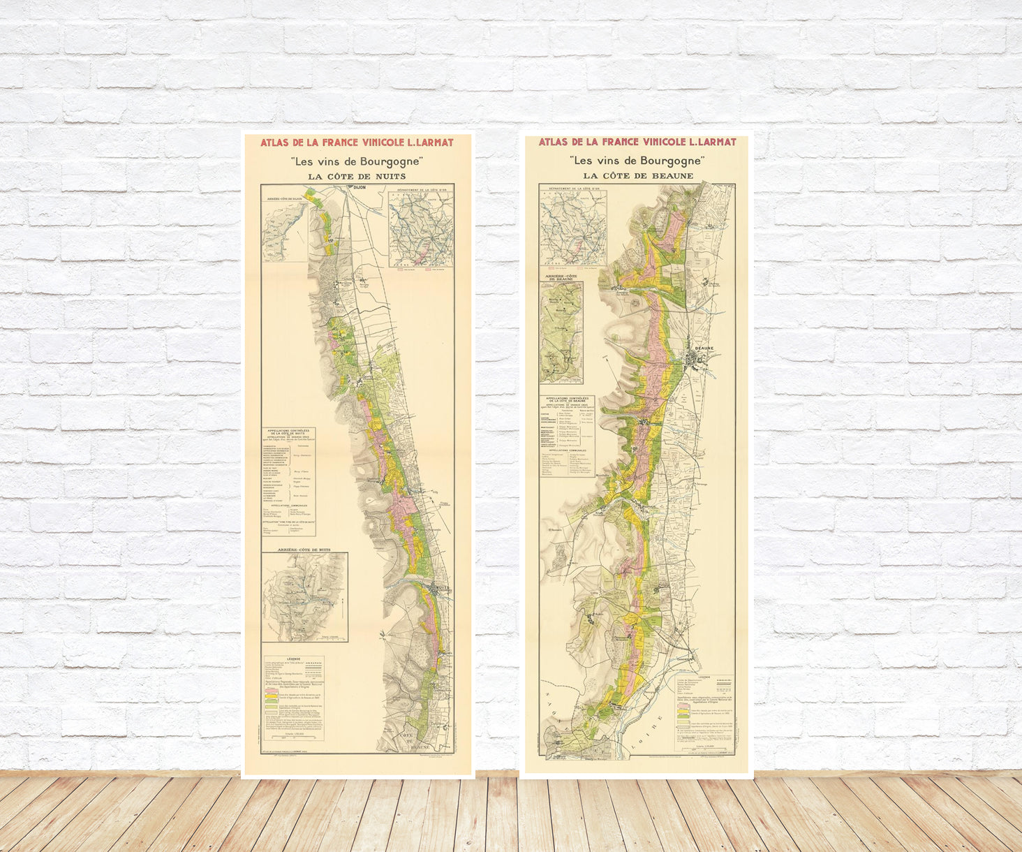
Explore the rich history of wine through centuries-old maps. Dive into the heritage, culture, and geography of wine regions with our collection of vintage wine maps.
These meticulously preserved historical treasures offer a window into the evolution of viticulture, showcasing how wine regions have transformed over the centuries.
-
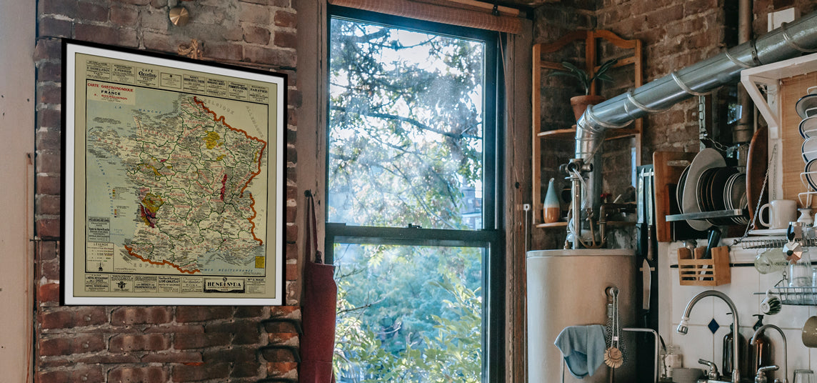
Gastronomic maps
Dive into a world of culinary exploration with our collection of gastronomic maps – your passport to gastronomic adventures like no other. Discover the intricate art of cheese-making and the exquisite world of gourmet delights through our meticulously curated Cheese Maps and Gastronomic Maps.
-
Empires maps
Travel through history as you explore the territorial expanse, conquests, and cultural influences of some of the world's most powerful civilizations. Our antique maps bring the epic tales of empires to life, offering a captivating glimpse into the rise and fall of these extraordinary realms. See all empires maps >


