Passer aux informations produits
1 de 7

Antique panoramic view of Dublin, 1846

SKU:  195510

Antique panoramic view of Dublin, 1846

Prix habituel €92,82 EUR
Prix habituel Prix promotionnel €92,82 EUR
En vente Épuisé
Taxes incluses. Frais d'expédition calculés à l'étape de paiement.

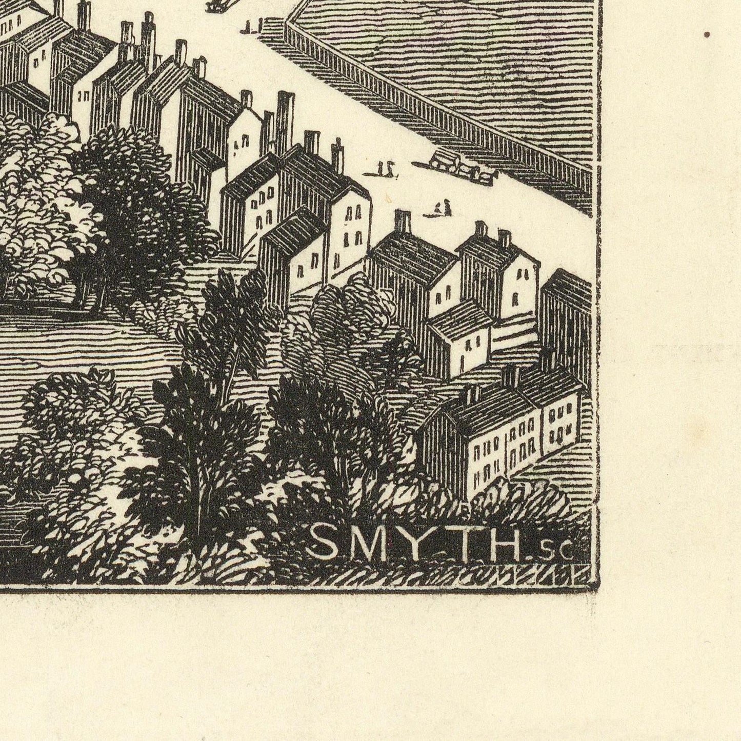
Frederick James Smyth’s View of Dublin, published in the Illustrated London News in 1846, offers a fascinating mid-nineteenth-century portrait of the Irish capital during a period of profound political, social, and economic change. As an illustrated newspaper view, the work combines documentary observation with the visual appeal of a detailed urban panorama, providing a valuable record of Dublin before the extensive transformations of the later Victorian era.

The composition presents Dublin as a busy and developing metropolitan center, with its streets, public buildings, churches, residential architecture, and surrounding landscape brought together in a carefully observed view. The River Liffey and the city's bridges were fundamental elements of Dublin's urban geography, linking the northern and southern districts and supporting the movement of people and goods through the capital.

By 1846, Dublin possessed a remarkable architectural heritage. Georgian terraces, formal squares, churches, civic buildings, and commercial streets reflected the city's eighteenth-century development and its continuing importance as Ireland's political and cultural center. The city was also experiencing the pressures of rapid population growth and economic inequality, circumstances that would become increasingly severe during the Great Famine, which began in Ireland in the same year.

The date therefore gives this view particular historical significance. Created on the eve of the worst years of the Irish Famine, it captures Dublin before the profound demographic and economic consequences that would reshape Ireland. The city's streets and buildings provide a visual context for understanding the capital during this critical moment in Irish history.

Materials

Cotton canvas, matte photo paper, fine art paper, pigmented inks.

  • The canvas it's 99 % cotton, 450 gr/sqm;
  • The matte photo paper it's acid-free (archival paper), 190 gr/sqm;
  • The fine art photo paper it's satinated (semi-glossy), 140 gr/sqm.

Shipping & Returns

Dispatching time: 1-2 days.

* Standard shipping fee: The orders will be sent by priority registered mail, usually via client National Post (USPS, Canada Post, Royal Mail, LaPoste, Deutsche Post, PostNL, etc). The delivery times are not guaranteed, sometimes it will take longer and these are beyond our control. Tracking number will be provided. Clients from US and Canada cannot track the parcels as the tracking numbers are not rolled in USPS and Canada Post systems.

UPS standard: The orders will be sent with UPS expedited option. The delivery time it's between 5-11 days. Tracking number will be provided after dispatch.

UPS express: The orders will be sent with UPS express saver. The delivery time it's between 4-7 days. Tracking number will be provided after dispatch.

Framing tips

Both type of materials, paper and canvas prints come rolled and will be need to be taken to your local framers.

The image it's printed with a border of 0.6 " (1.5 cm), for framing purposes only.

If you have already a frame, be sure you send us the exact size of the print that will fit inside the frame. We're printing on vectorial plotters so the size could slightly be more or less with 0.4" (1 cm).

If you plan to have the canvas print stretched on wooden frame, you'll need additional border, so please let us know after placing the order.

The images above was cropped from the image at the biggest size available (keeping the best quality and aspect /ratio), so, for good details please choose biggest dimensions that will suit your preferences / space.

Care Instructions

The print media (canvas or photo paper) could be cleaned only with a dry, soft cloth.

Afficher tous les détails

Wine maps

Explore the rich history of wine through centuries-old maps. Dive into the heritage, culture, and geography of wine regions with our collection of vintage wine maps.

These meticulously preserved historical treasures offer a window into the evolution of viticulture, showcasing how wine regions have transformed over the centuries.

  • Gastronomic maps

    Dive into a world of culinary exploration with our collection of gastronomic maps – your passport to gastronomic adventures like no other. Discover the intricate art of cheese-making and the exquisite world of gourmet delights through our meticulously curated Cheese Maps and Gastronomic Maps.

  • Empires maps

    Travel through history as you explore the territorial expanse, conquests, and cultural influences of some of the world's most powerful civilizations. Our antique maps bring the epic tales of empires to life, offering a captivating glimpse into the rise and fall of these extraordinary realms. See all empires maps >