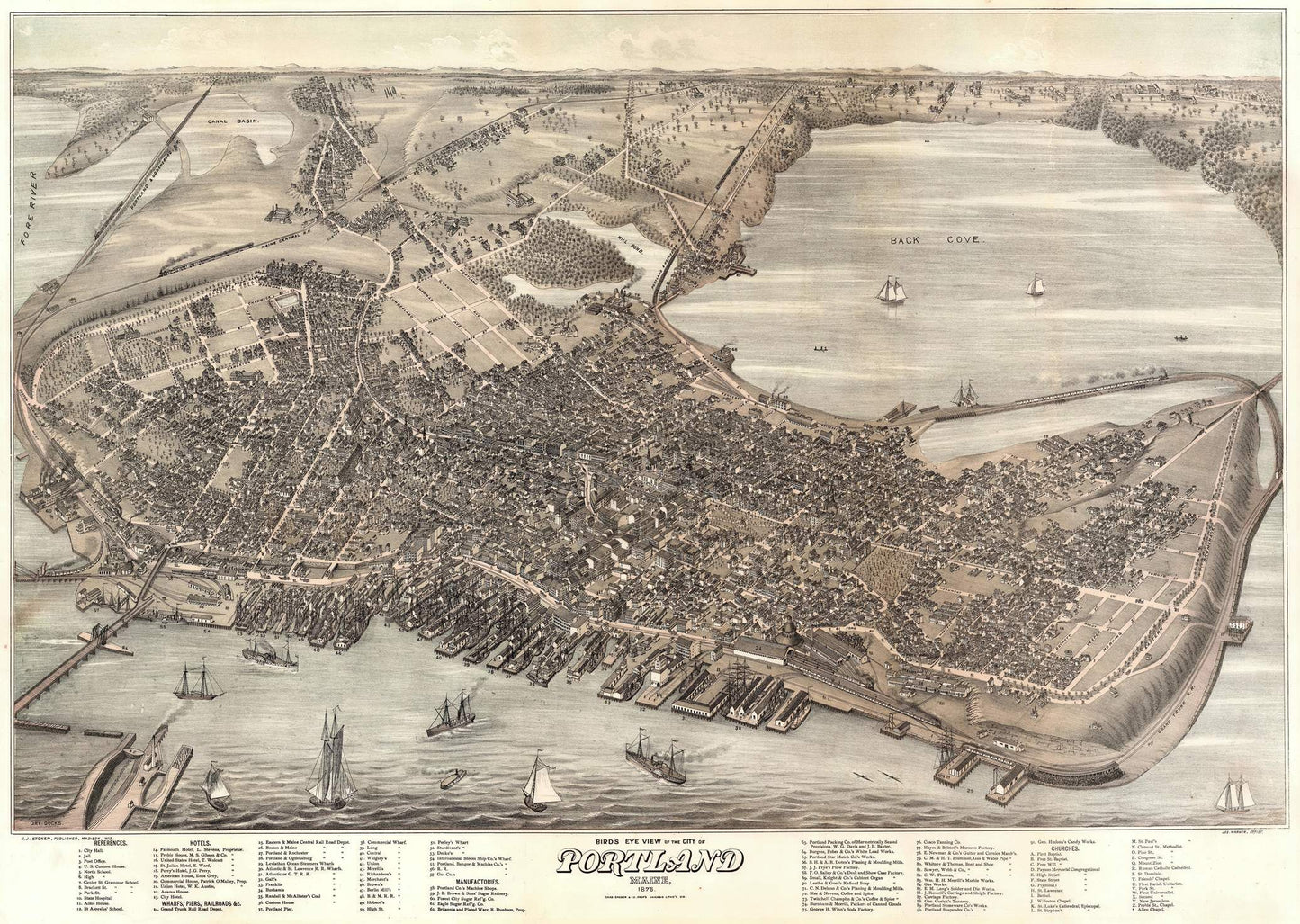
The 1876 bird's-eye view map of Portland, Maine, created by Joseph Warner and published by J.J. Stoner, is an exquisite example of 19th-century cartographic art. This map offers a detailed, panoramic view of Portland, capturing its urban layout, architectural landmarks, and bustling harbor at a time of significant growth and development. It stands as a valuable historical document, providing insights into the city's geography and urban structure during the post-Civil War era.
The late 19th century was a period of rapid industrialization and urbanization in the United States, and Portland, Maine, was no exception. Following the devastating Great Fire of 1866, which destroyed much of the city, Portland underwent a significant reconstruction and expansion. By 1876, Portland had re-emerged as a vibrant commercial hub, with a thriving port and a growing population. Joseph Warner's bird's-eye view map captures this dynamic period in the city's history, illustrating its recovery and progress.
Joseph Warner, an accomplished artist known for his detailed and accurate bird's-eye view maps, collaborated with J.J. Stoner, a prominent map publisher of the time. Their combined expertise resulted in a map that is both artistically impressive and cartographically precise. Stoner's reputation for producing high-quality lithographic maps ensured that this work was not only informative but also aesthetically appealing.
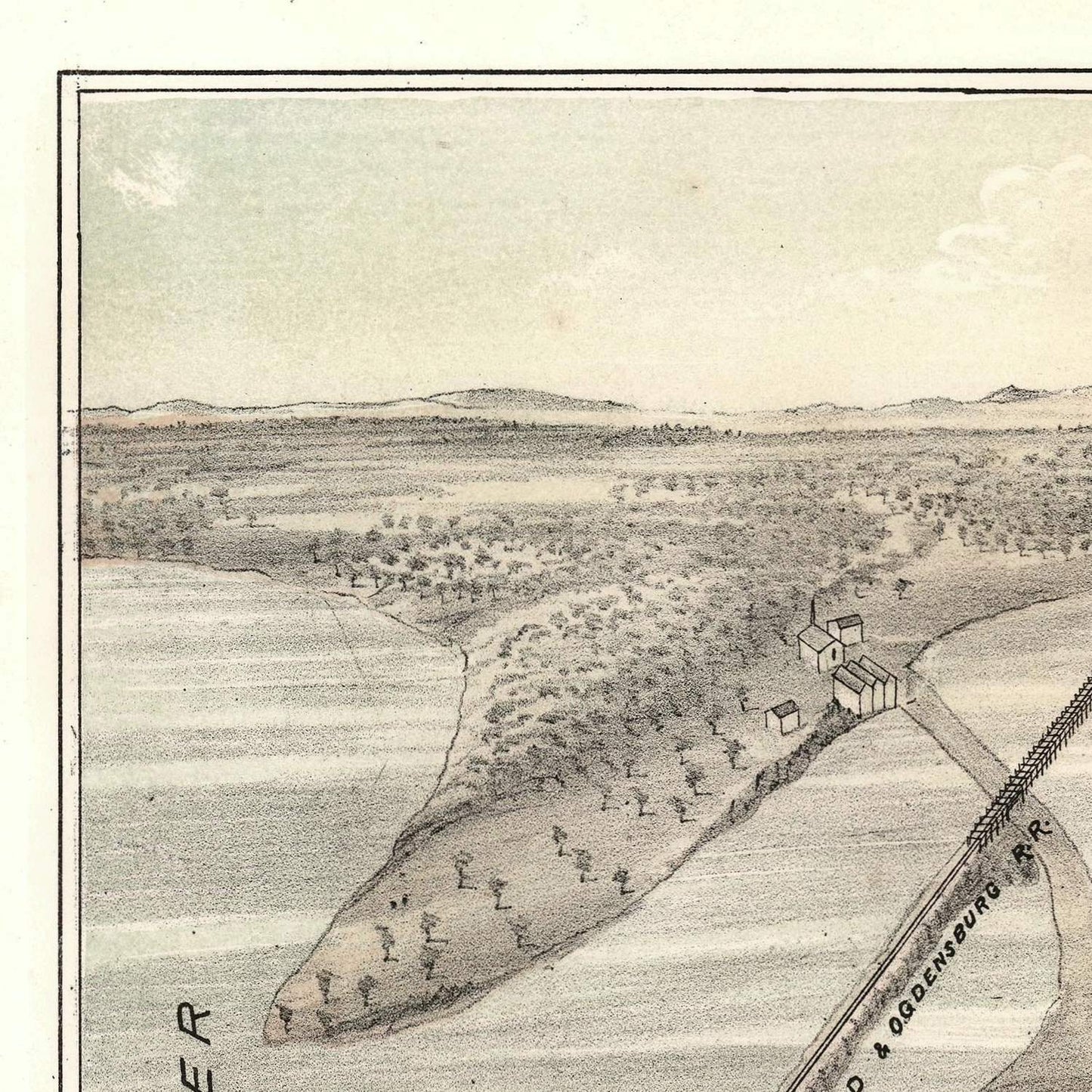
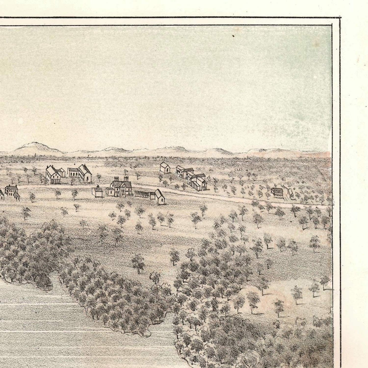
Warner's map offers a comprehensive and detailed depiction of Portland's geographical features and urban layout. The map showcases the city's streets, buildings, and public spaces with remarkable accuracy. Key geographical features such as the Casco Bay coastline, the Fore River, and the numerous islands and peninsulas are prominently displayed, highlighting Portland's strategic location as a port city.
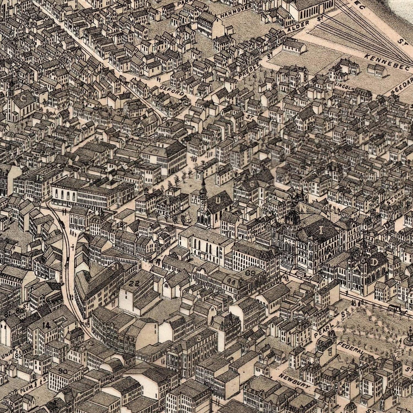
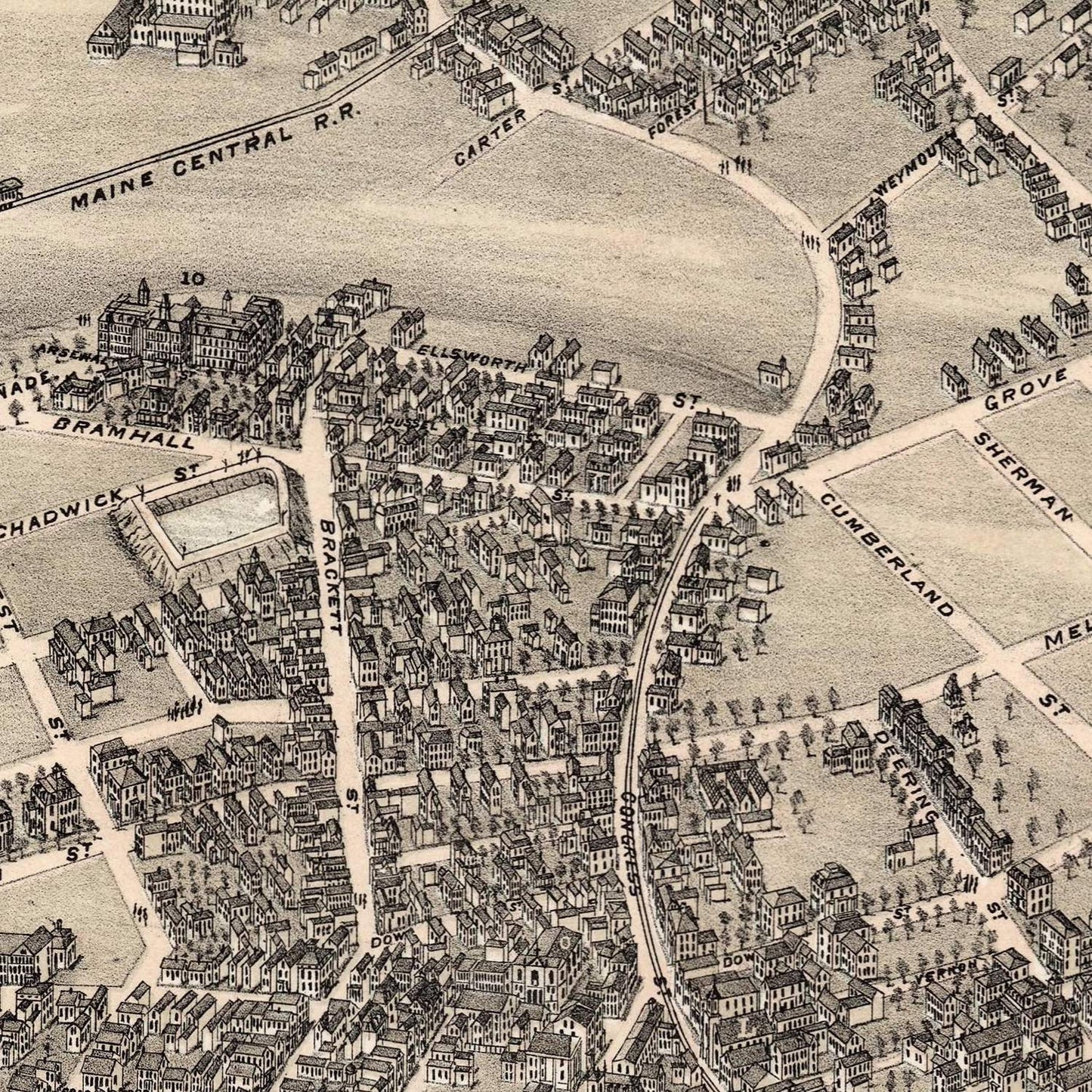
The urban layout is meticulously detailed, with every street, block, and building rendered in fine detail. The map provides a clear view of the city's grid pattern, along with the locations of important public buildings, churches, schools, and businesses. This level of detail makes the map an invaluable resource for understanding the urban development and architectural history of Portland.
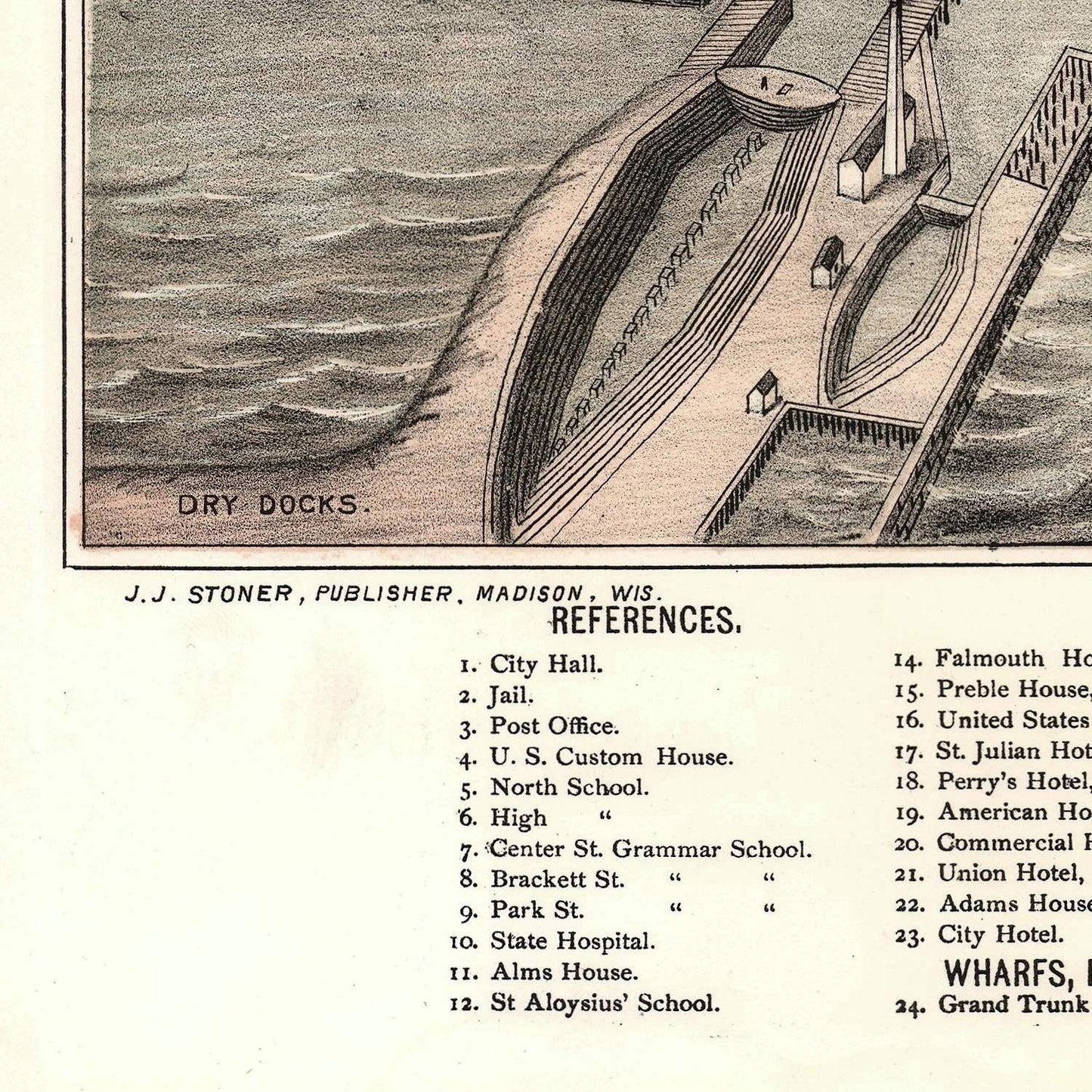
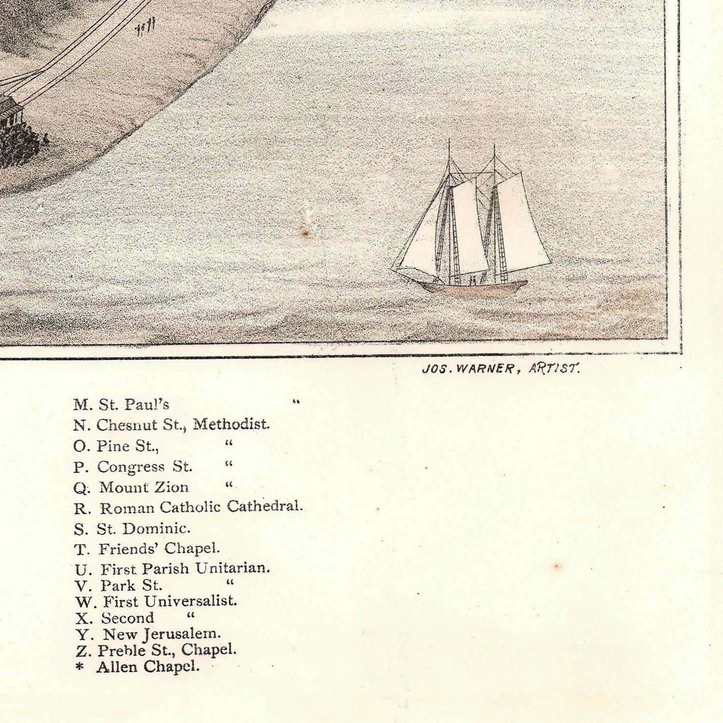
One of the standout features of Warner's bird's-eye view map is its depiction of architectural and cultural landmarks. Major buildings such as City Hall, the Custom House, and the numerous churches and schools are illustrated with precision, providing a snapshot of Portland's architectural heritage. The bustling waterfront, with its wharves, warehouses, and ships, reflects the city's role as a major port and commercial center.
The map also includes vignettes and illustrations of significant buildings and scenes, adding to its visual richness. These artistic elements not only enhance the map's aesthetic appeal but also serve as valuable historical records of the city's built environment.
The map is a fine example of 19th-century lithographic printing, with detailed line work and careful shading that create a three-dimensional effect. Warner's artistic skill is evident in the realistic depiction of buildings, streets, and landscapes, while the use of perspective gives the viewer a sense of depth and scale. The decorative border and cartouche add an elegant touch, reflecting the artistic standards of the period.
In summary, the 1876 bird's-eye view map of Portland, Maine, by Joseph Warner and J.J. Stoner is a remarkable piece of cartographic history. It combines precise geographical representation with artistic elegance, capturing the historical and cultural essence of Portland during a pivotal period of its development. This map remains an enduring testament to the skill and dedication of its creators, celebrated for its historical significance and aesthetic contributions.