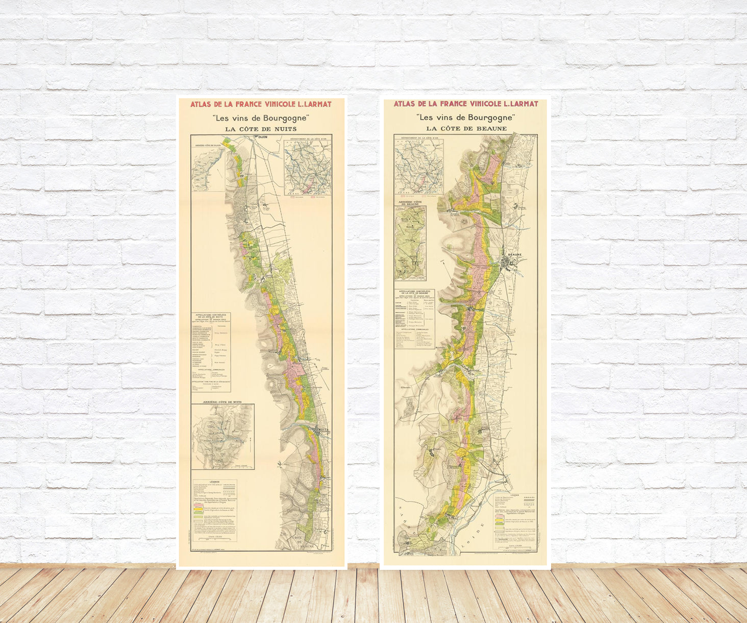
Skip to product information
1 of 7

Antique map of the Othoman Empire, 1714, (fine art photo paper print, 138 cm x 292 cm)

SKU:  P-192974

Antique map of the Othoman Empire, 1714, (fine art photo paper print, 138 cm x 292 cm)

Regular price €165,00 EUR
Regular price €236,00 EUR Sale price €165,00 EUR
Sale Sold out
Tax included. Shipping calculated at checkout.

The map of the Ottoman Empire by Henri Chatelain, published in 1714, is a detailed geographical representation of the empire at its zenith. It covers a significant portion of Southeastern Europe, the Middle East, and North Africa. The map is divided into two parts, the first depicting Europe and the second the Middle East and North Africa.

Noteworthy for its precision and level of detail, the map delineates the empire's borders, major cities, ports, roads, and waterways. It also illustrates the prominent physical features of the region, such as mountains, rivers, and deserts. 

This map serves as a valuable tool for historians and geographers, providing an accurate portrayal of the Ottoman Empire during a crucial period in its history.

Henri Chatelain (1684–1743) was a French cartographer and engraver known for his significant contributions to the field of cartography during the early 18th century. He, along with his father Zacharie Chatelain, was involved in producing several historical atlases.

Henri Chatelain is particularly renowned for his work on the "Atlas Historique," which was published in seven volumes between 1705 and 1720. This atlas covered a wide range of historical and geographical subjects and was known for its detailed maps, charts, and illustrations. The atlas was not only esteemed for its accuracy but also for its artistic presentation.

Henri Chatelain's maps often depicted regions, countries, and empires during specific historical periods. The maps were accompanied by explanatory texts, adding an educational aspect to the atlas. His works, including the "Carte de l'Empire Ottoman" from 1714, have been valuable resources for historians, geographers, and map enthusiasts, providing insights into the geopolitical landscape of the time.

While Henri Chatelain's atlas work was significant, he is also remembered for his role in the broader context of French cartography during the early 18th century. His contributions have left a lasting impact on the understanding and documentation of historical geography.

Materials

Cotton canvas, matte photo paper, fine art paper, pigmented inks.

  • The canvas it's 99 % cotton, 450 gr/sqm;
  • The matte photo paper it's acid-free (archival paper), 190 gr/sqm;
  • The fine art photo paper it's satinated (semi-glossy), 140 gr/sqm.

Shipping & Returns

Dispatching time: 1-2 days.

* AirMail option: The orders will be sent by priority registered mail, usually via client National Post (USPS, Canada Post, Royal Mail, LaPoste, Deutsche Post, PostNL, etc). The delivery times are not guaranteed, sometimes it will take longer and these are beyond our control. Tracking number will be provided. Clients from US and Canada cannot track the parcels as the tracking numbers are not rolled in USPS and Canada Post systems.

* UPS standard: The orders will be sent with UPS expedited option. The delivery time it's between 5-11 days. Tracking number will be provided after dispatch.

* UPS express: : The orders will be sent with UPS express saver. The delivery time it's between 4-7 days. Tracking number will be provided after dispatch.

Framing tips

Both type of materials, paper and canvas prints come rolled and will be need to be taken to your local framers.

The image it's printed with a border of 0.6 " (1.5 cm), for framing purposes only.

If you have already a frame, be sure you send us the exact size of the print that will fit inside the frame. We're printing on vectorial plotters so the size could slightly be more or less with 0.4" (1 cm).

If you plan to have the canvas print stretched on wooden frame, you'll need additional border, so please let us know after placing the order.

The images above was cropped from the image at the biggest size available (keeping the best quality and aspect /ratio), so, for good details please choose biggest dimensions that will suit your preferences / space.

Care Instructions

The print media (canvas or photo paper) could be cleaned only with a dry, soft cloth.

View full details

Wine maps

Explore the rich history of wine through centuries-old maps. Dive into the heritage, culture, and geography of wine regions with our collection of vintage wine maps.

These meticulously preserved historical treasures offer a window into the evolution of viticulture, showcasing how wine regions have transformed over the centuries.
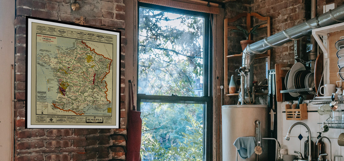
  • Gastronomic maps

    Dive into a world of culinary exploration with our collection of gastronomic maps – your passport to gastronomic adventures like no other. Discover the intricate art of cheese-making and the exquisite world of gourmet delights through our meticulously curated Cheese Maps and Gastronomic Maps.
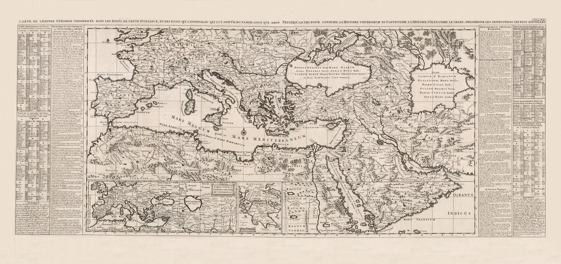
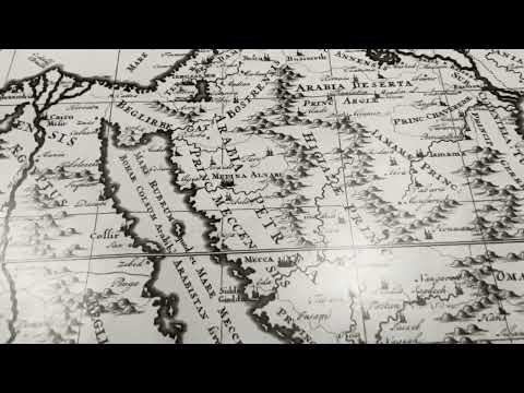
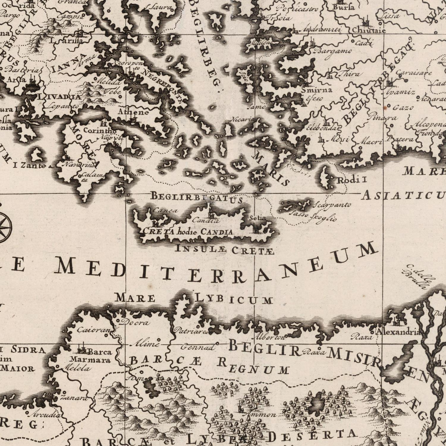
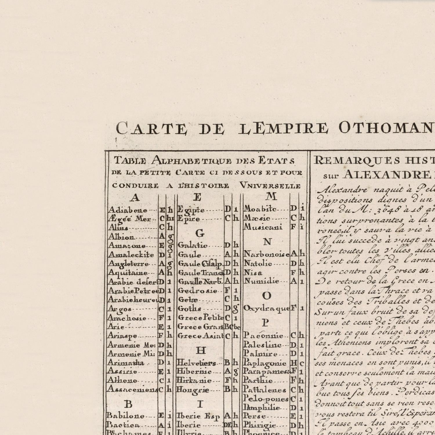
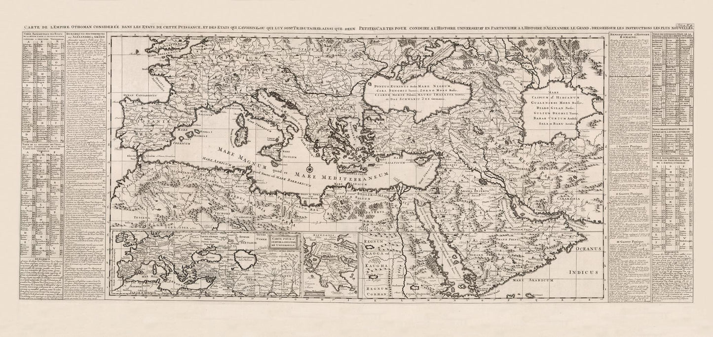
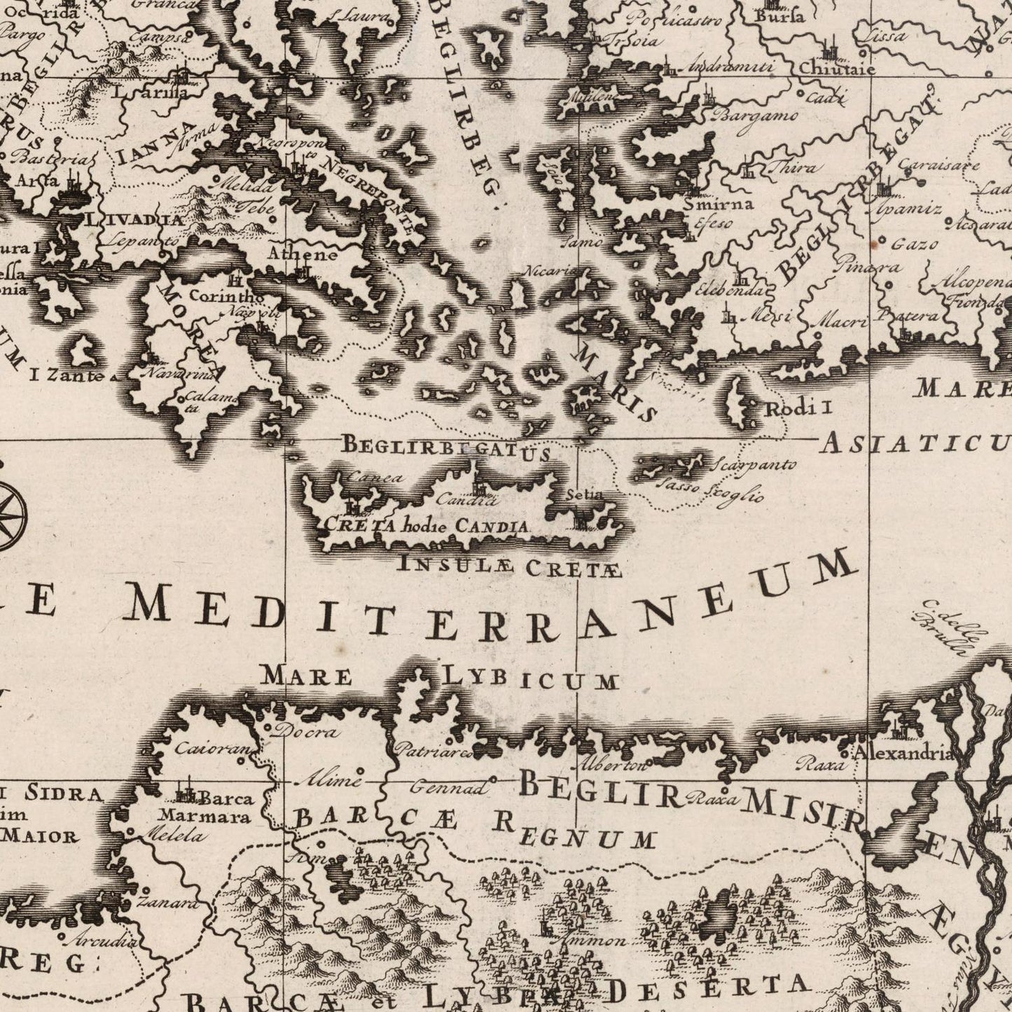
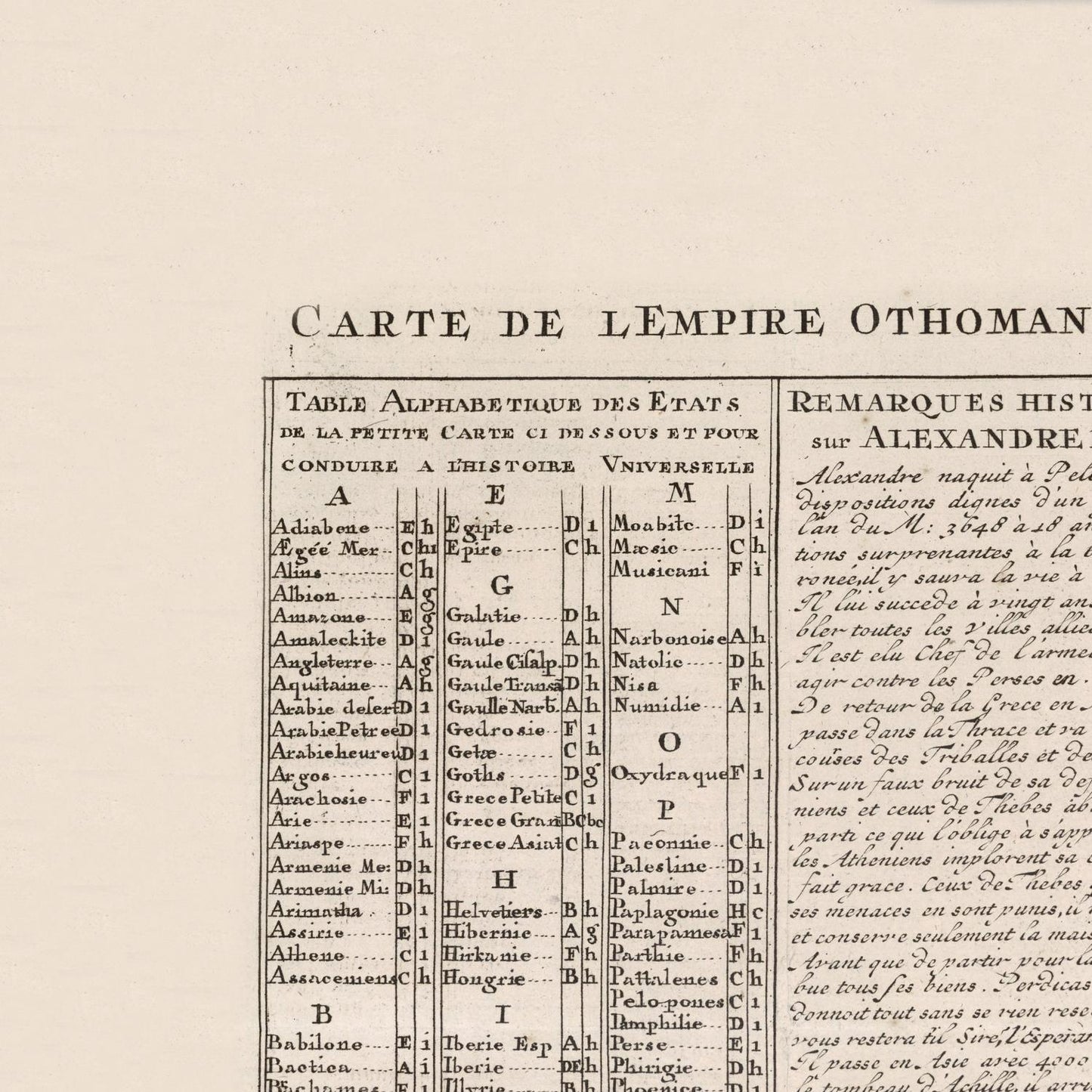
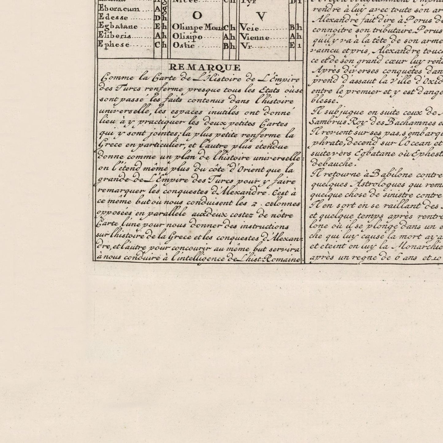
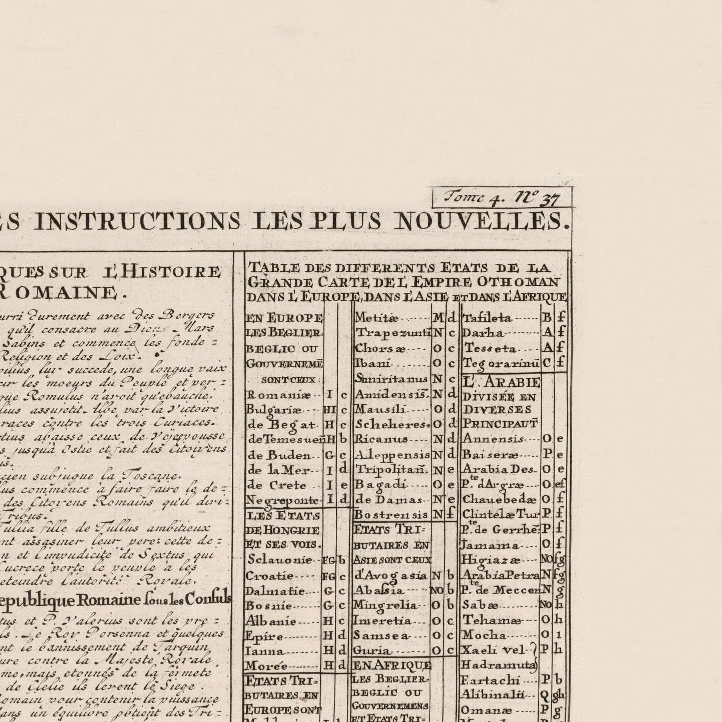
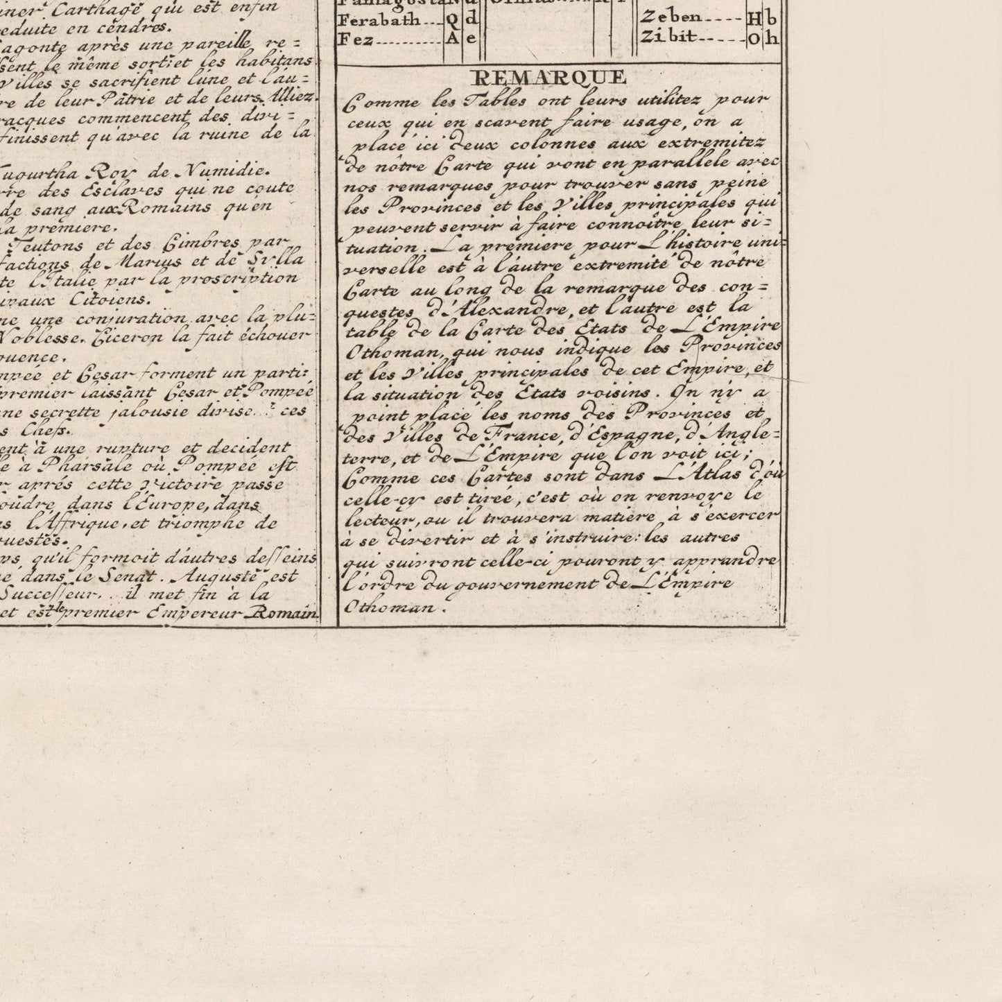
  • Empires maps

    Travel through history as you explore the territorial expanse, conquests, and cultural influences of some of the world's most powerful civilizations. Our antique maps bring the epic tales of empires to life, offering a captivating glimpse into the rise and fall of these extraordinary realms. See all empires maps >