Couldn't load pickup availability
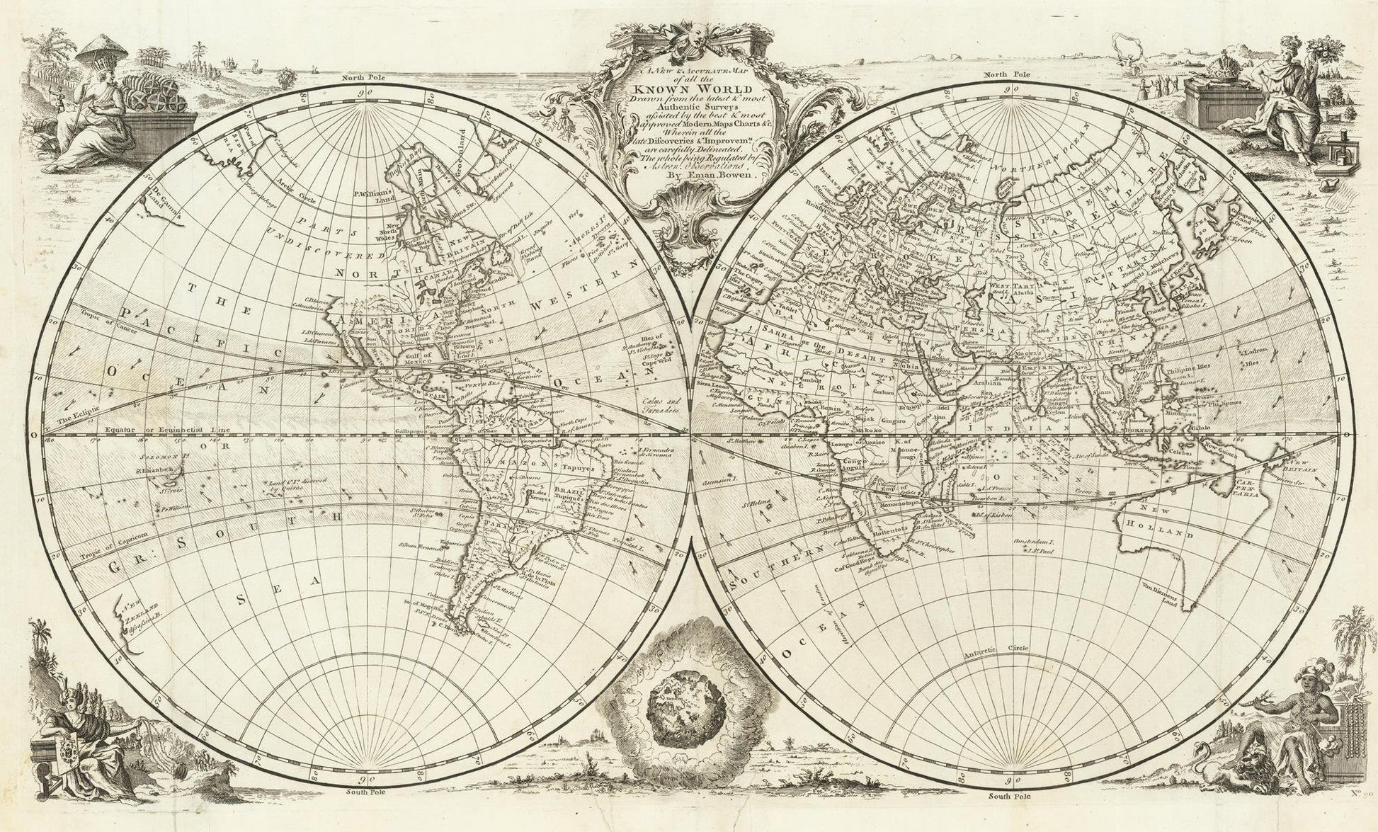
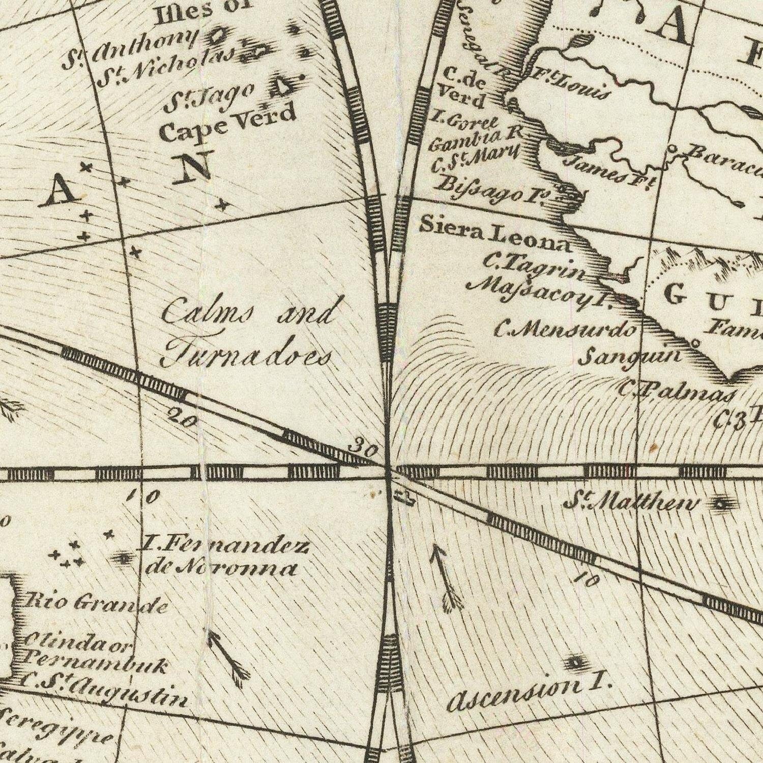
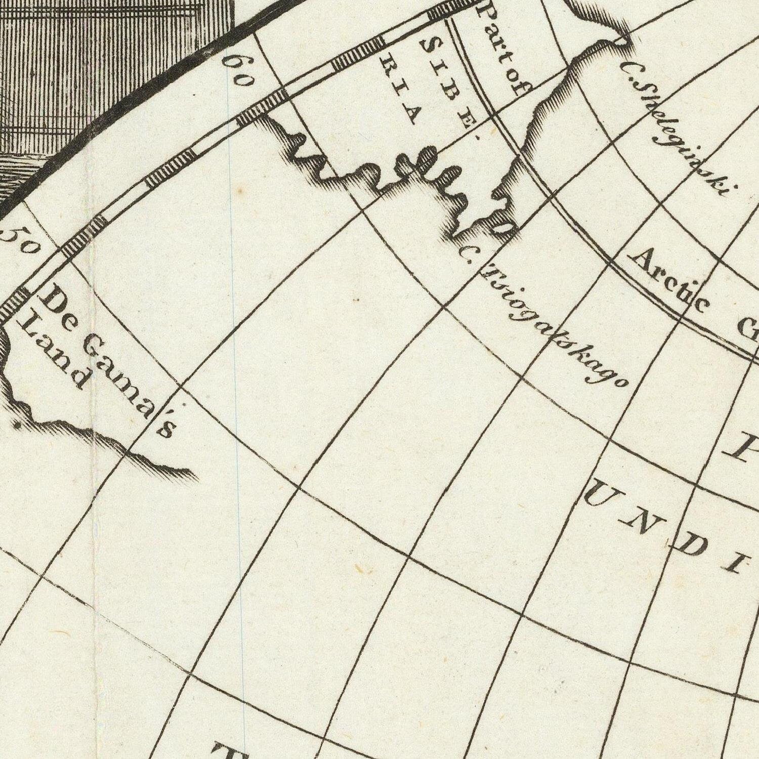
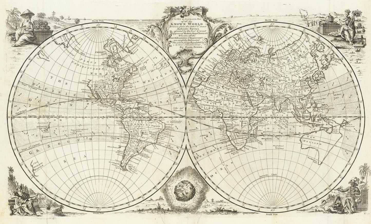
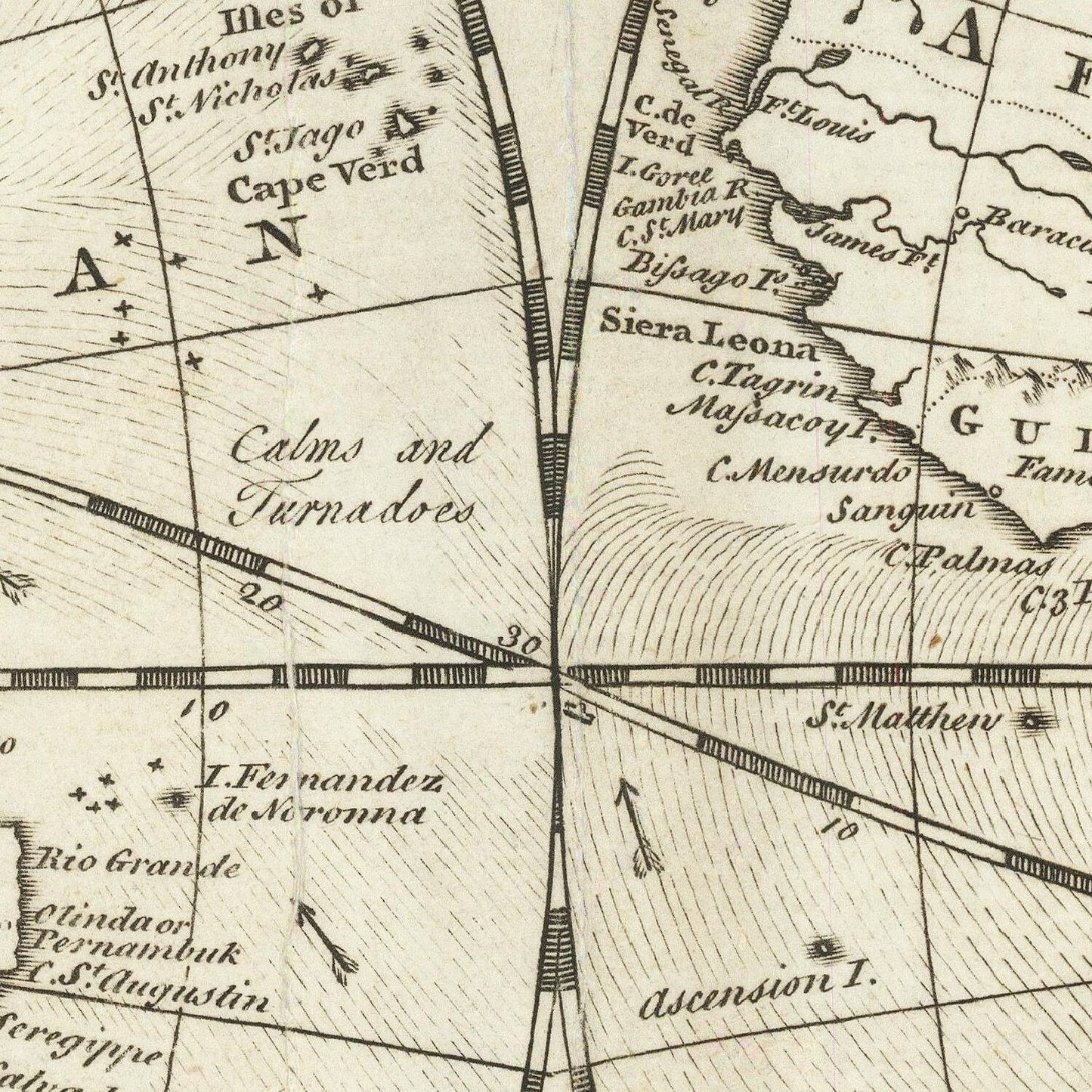
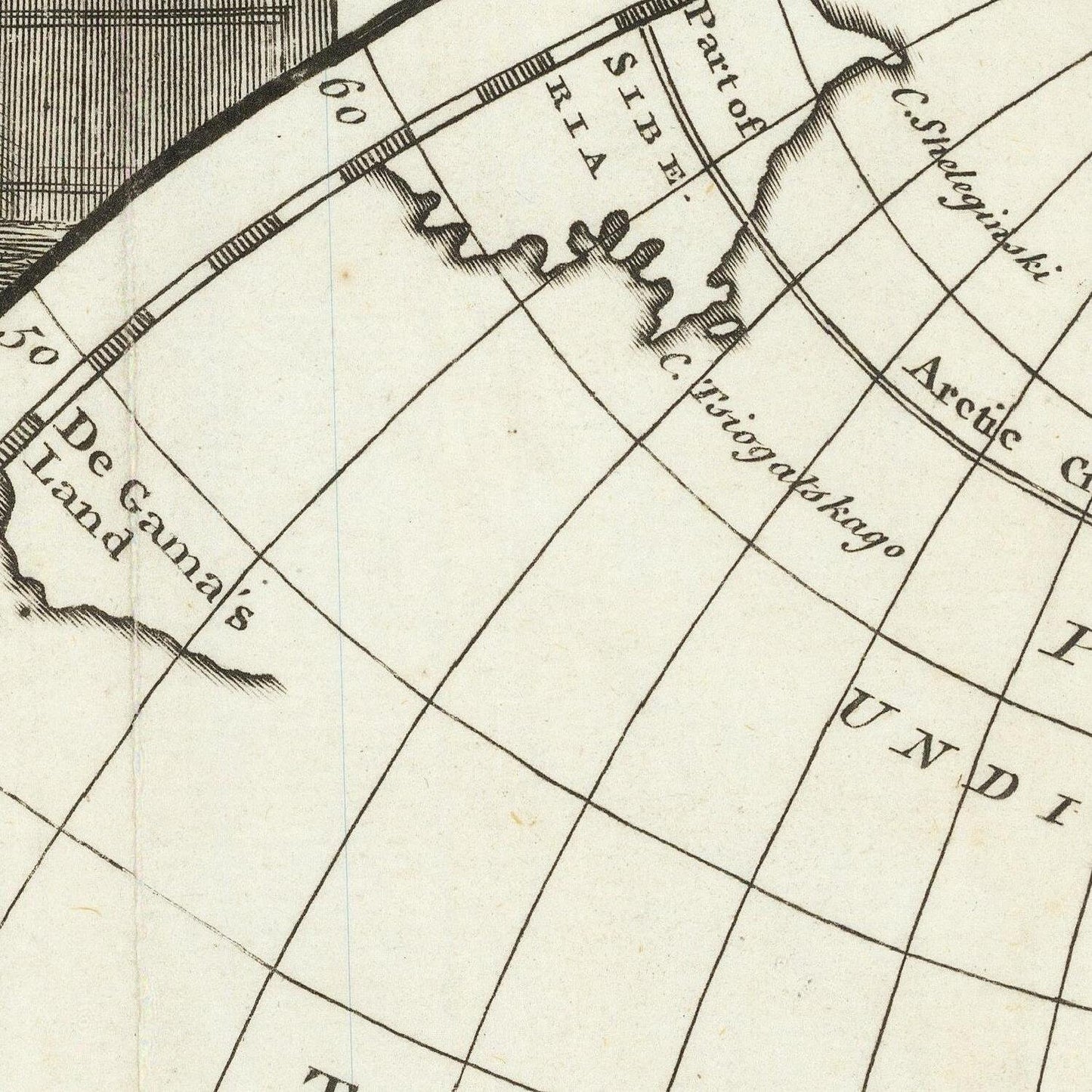
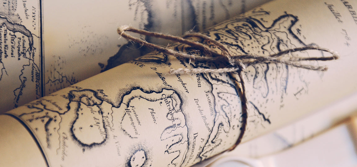
"A New & Accurate Map of All the Known World" is a historical map created by the British cartographer Emmanuel Bowen. It was published in 1747 during a period when cartography was rapidly evolving and the exploration and understanding of the world were expanding. This map is a representation of geographical knowledge available at that time and provides insight into the understanding of the world's geography during the mid-18th century.
Emmanuel Bowen (c. 1714-1767) was a renowned mapmaker, engraver, and publisher in London. He produced numerous maps and atlases during his career, and his work contributed significantly to the dissemination of geographical knowledge in the 18th century.
Bowen worked in London and produced a wide range of maps, atlases, and geographical publications, which were highly regarded for their accuracy and detail. His maps covered various regions, including England, Wales, Scotland, Ireland, and the American colonies, among others. He was known for his meticulous approach to cartography and often updated his maps to reflect the latest geographic discoveries and explorations.
One of Bowen's significant works was the "A Complete System of Geography," which he co-authored with his fellow cartographer Thomas Kitchin. This six-volume atlas was published between 1752 and 1762 and provided comprehensive geographical information of the known world at that time.
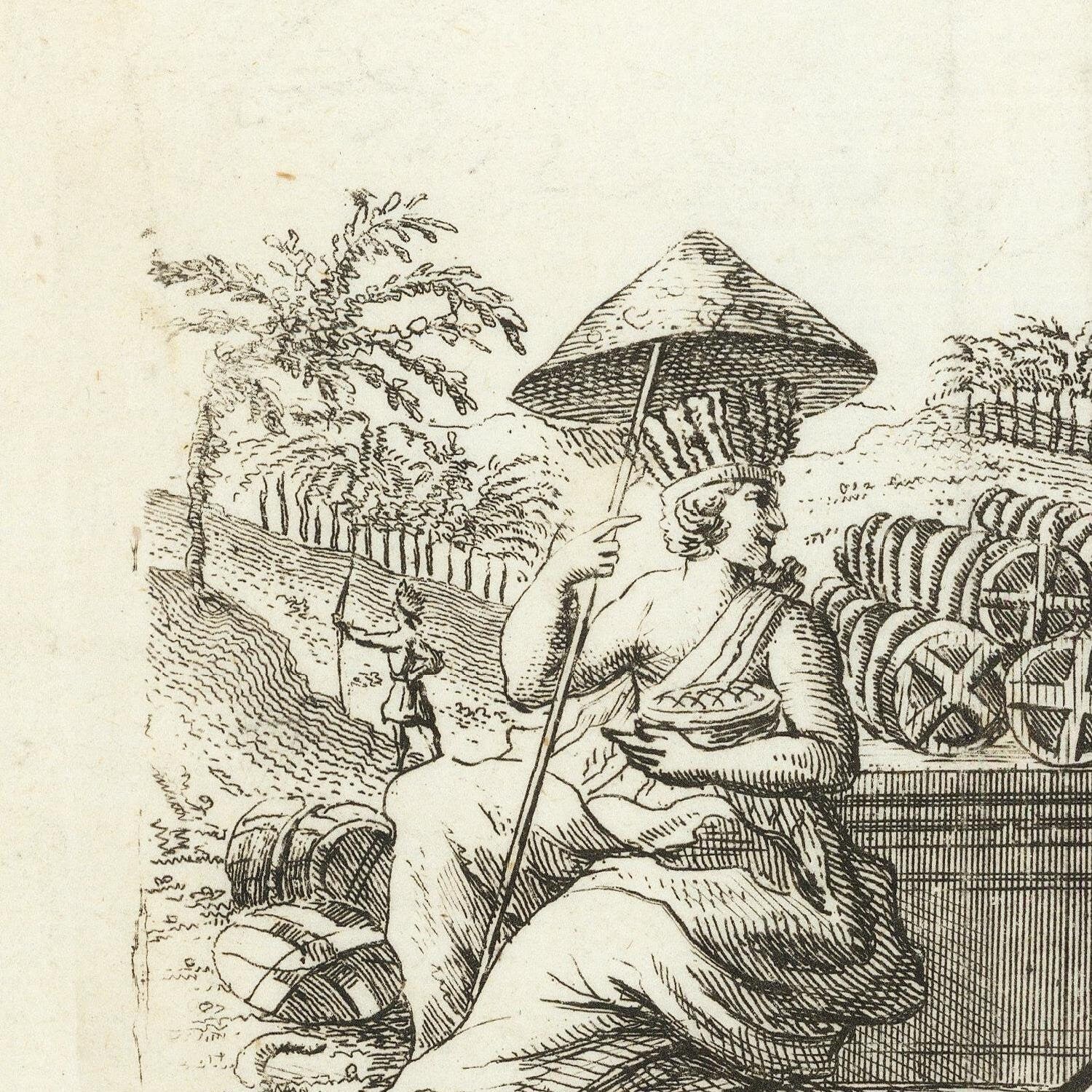
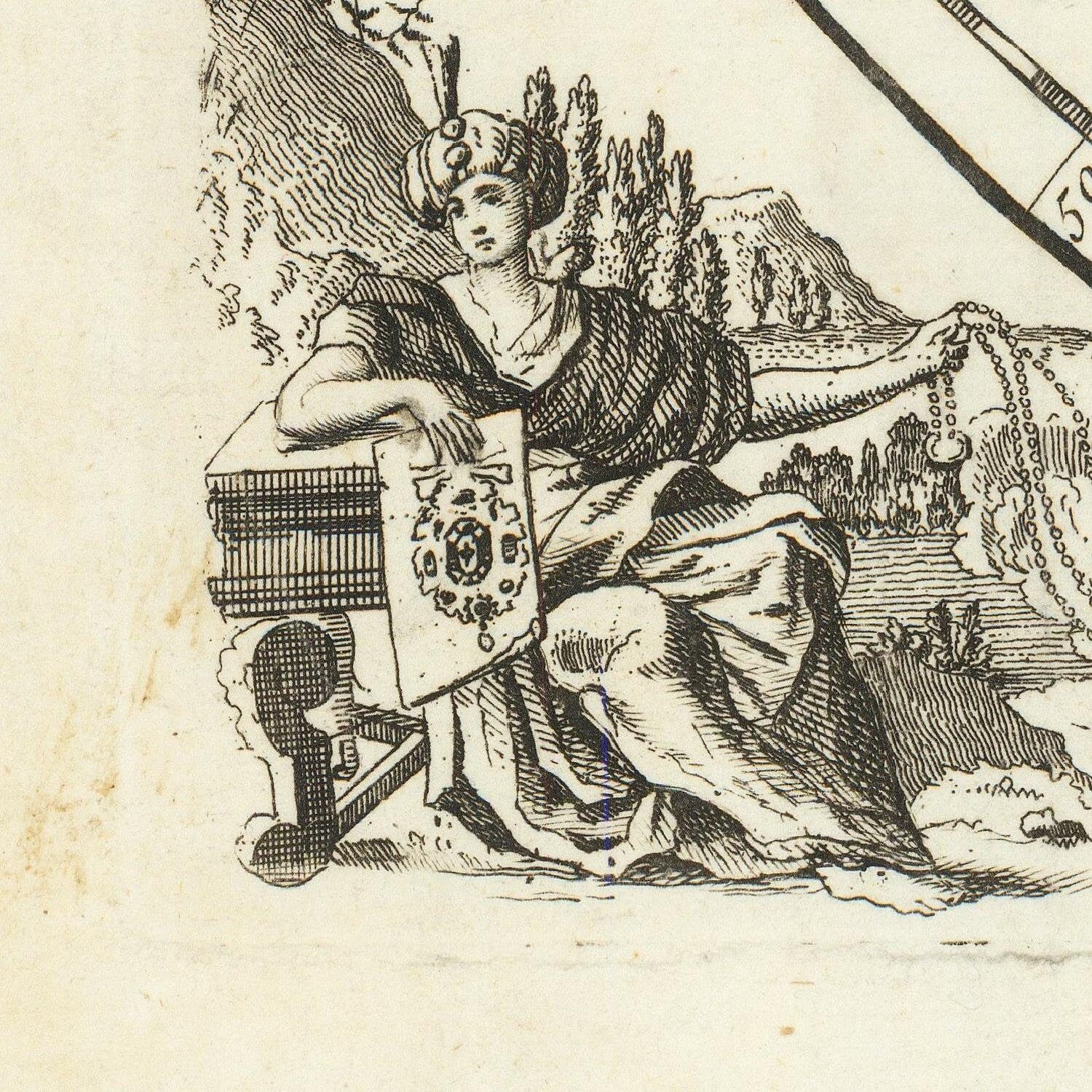
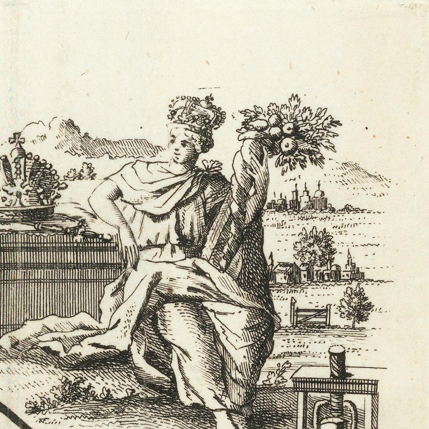
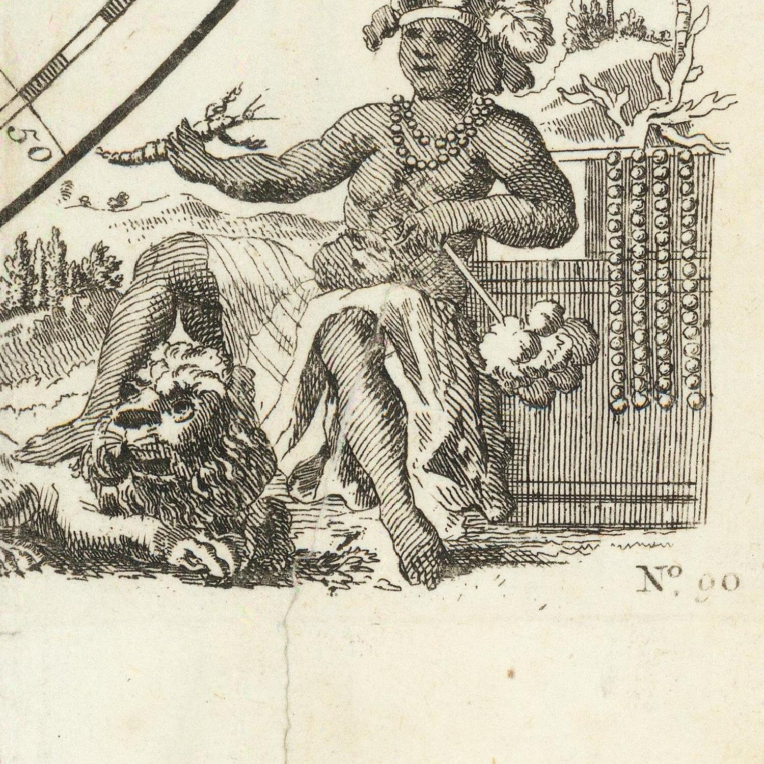
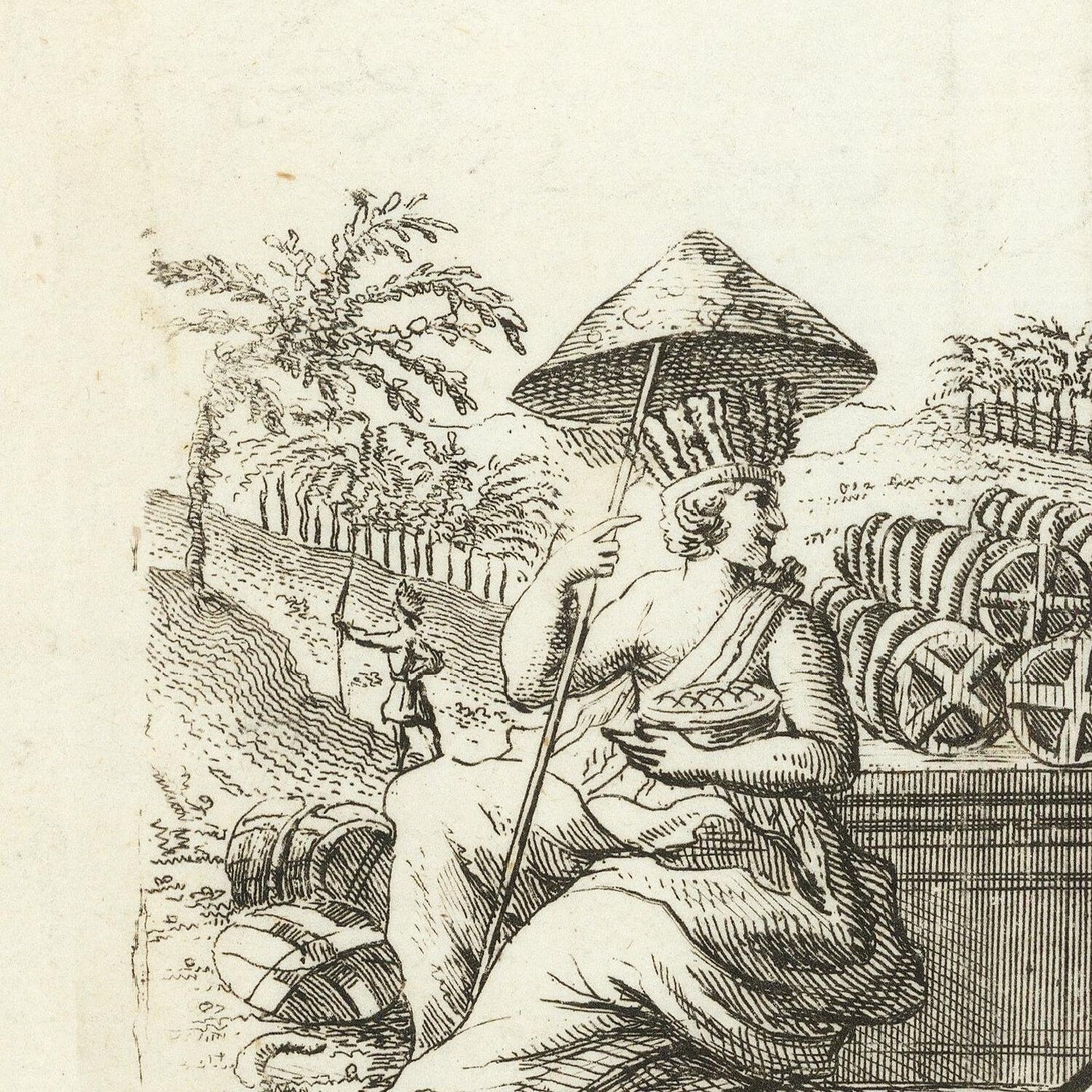
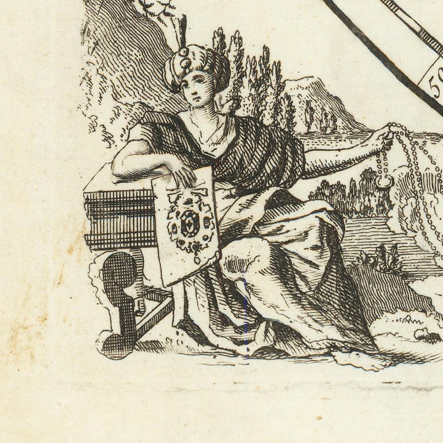
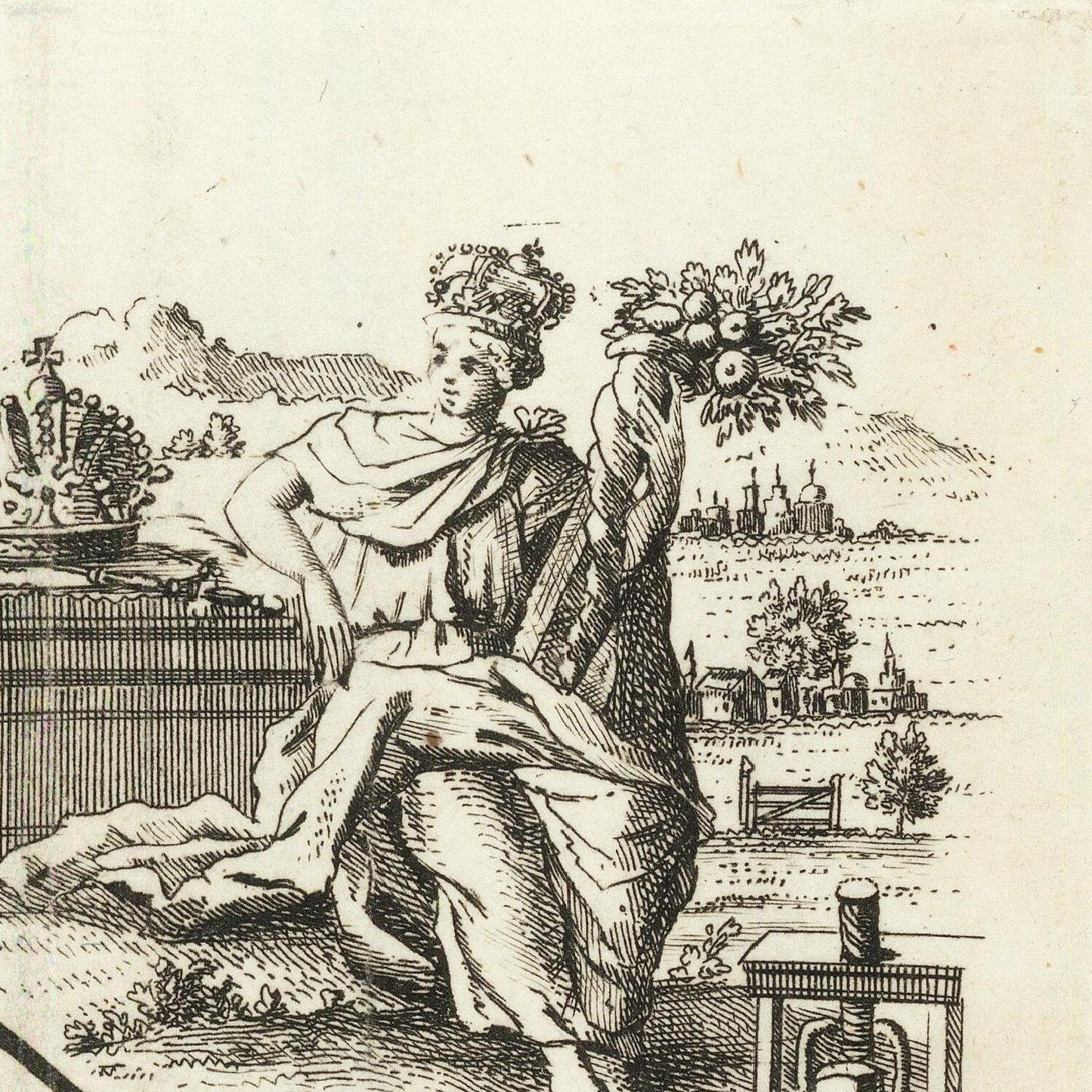
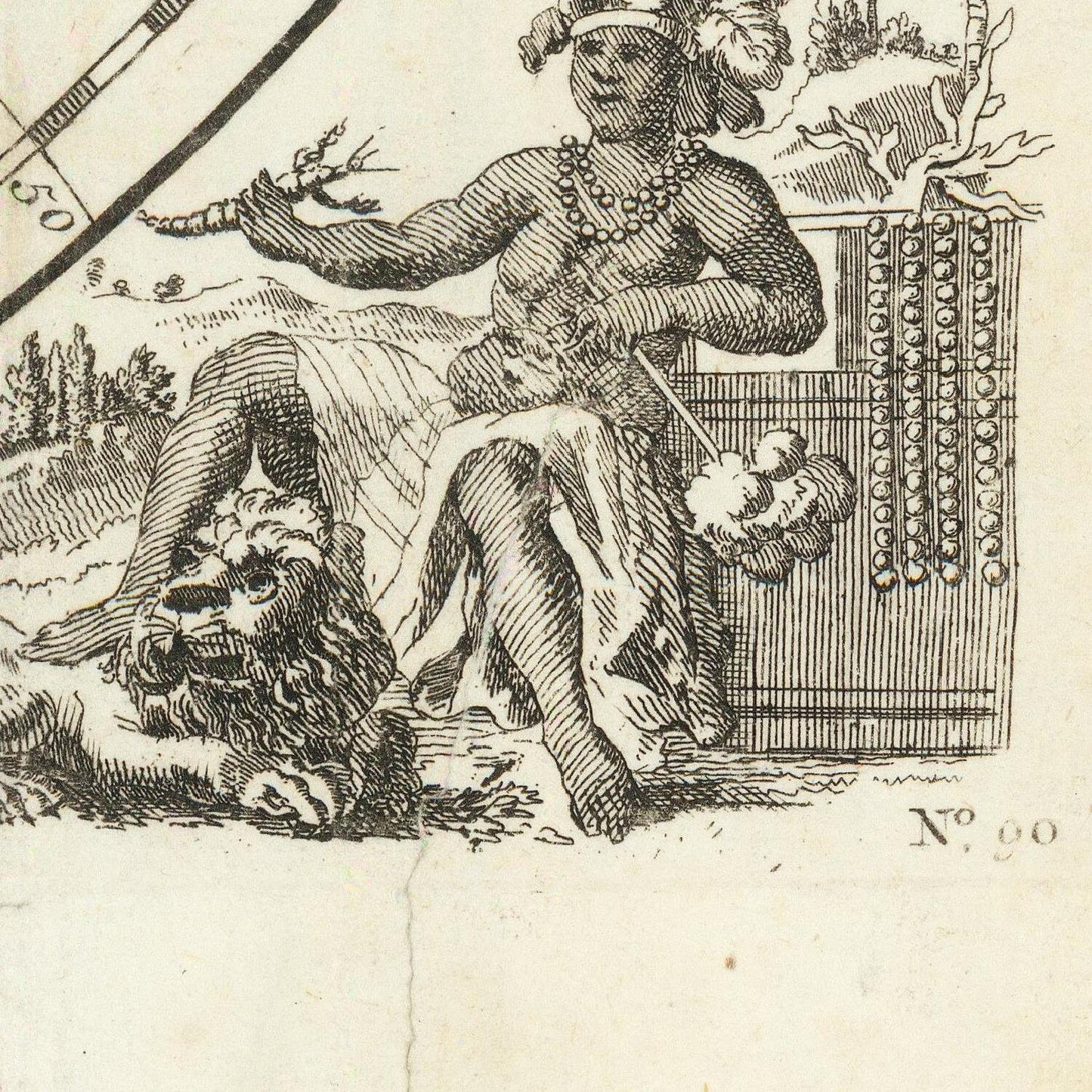
Emmanuel Bowen's maps were prized for their decorative elements, including ornate cartouches, intricate border designs, and other artistic embellishments. These artistic features made his maps aesthetically pleasing, and they were popular among collectors and the general public alike.
During his career, Bowen also collaborated with other prominent mapmakers and publishers, contributing to the broader development and dissemination of geographical knowledge during the 18th century.
As with most historical figures, it's important to consider the context of the time in which Bowen lived. His maps would have reflected the geographic knowledge available during the 18th century, which might differ significantly from the maps we use today due to subsequent explorations and advancements in cartography. Nevertheless, Bowen's work remains valuable for its historical significance and the insights it provides into the understanding of the world during that era.
Materials
Materials
Cotton canvas, matte photo paper, fine art paper, pigmented inks.
- The canvas it's 99 % cotton, 450 gr/sqm;
- The matte photo paper it's acid-free (archival paper), 190 gr/sqm;
- The fine art photo paper it's satinated (semi-glossy), 140 gr/sqm.
Shipping & Returns
Shipping & Returns
Dispatching time: 1-2 days.
* Standard shipping fee: The orders will be sent by priority registered mail, usually via client National Post (USPS, Canada Post, Royal Mail, LaPoste, Deutsche Post, PostNL, etc). The delivery times are not guaranteed, sometimes it will take longer and these are beyond our control. Tracking number will be provided. Clients from US and Canada cannot track the parcels as the tracking numbers are not rolled in USPS and Canada Post systems.
* UPS standard: The orders will be sent with UPS expedited option. The delivery time it's between 5-11 days. Tracking number will be provided after dispatch.
* UPS express: The orders will be sent with UPS express saver. The delivery time it's between 4-7 days. Tracking number will be provided after dispatch.
Framing tips
Framing tips
Both type of materials, paper and canvas prints come rolled and will be need to be taken to your local framers.
The image it's printed with a border of 0.6 " (1.5 cm), for framing purposes only.
If you have already a frame, be sure you send us the exact size of the print that will fit inside the frame. We're printing on vectorial plotters so the size could slightly be more or less with 0.4" (1 cm).
If you plan to have the canvas print stretched on wooden frame, you'll need additional border, so please let us know after placing the order.
The images above was cropped from the image at the biggest size available (keeping the best quality and aspect /ratio), so, for good details please choose biggest dimensions that will suit your preferences / space.
Care Instructions
Care Instructions
The print media (canvas or photo paper) could be cleaned only with a dry, soft cloth.
Share
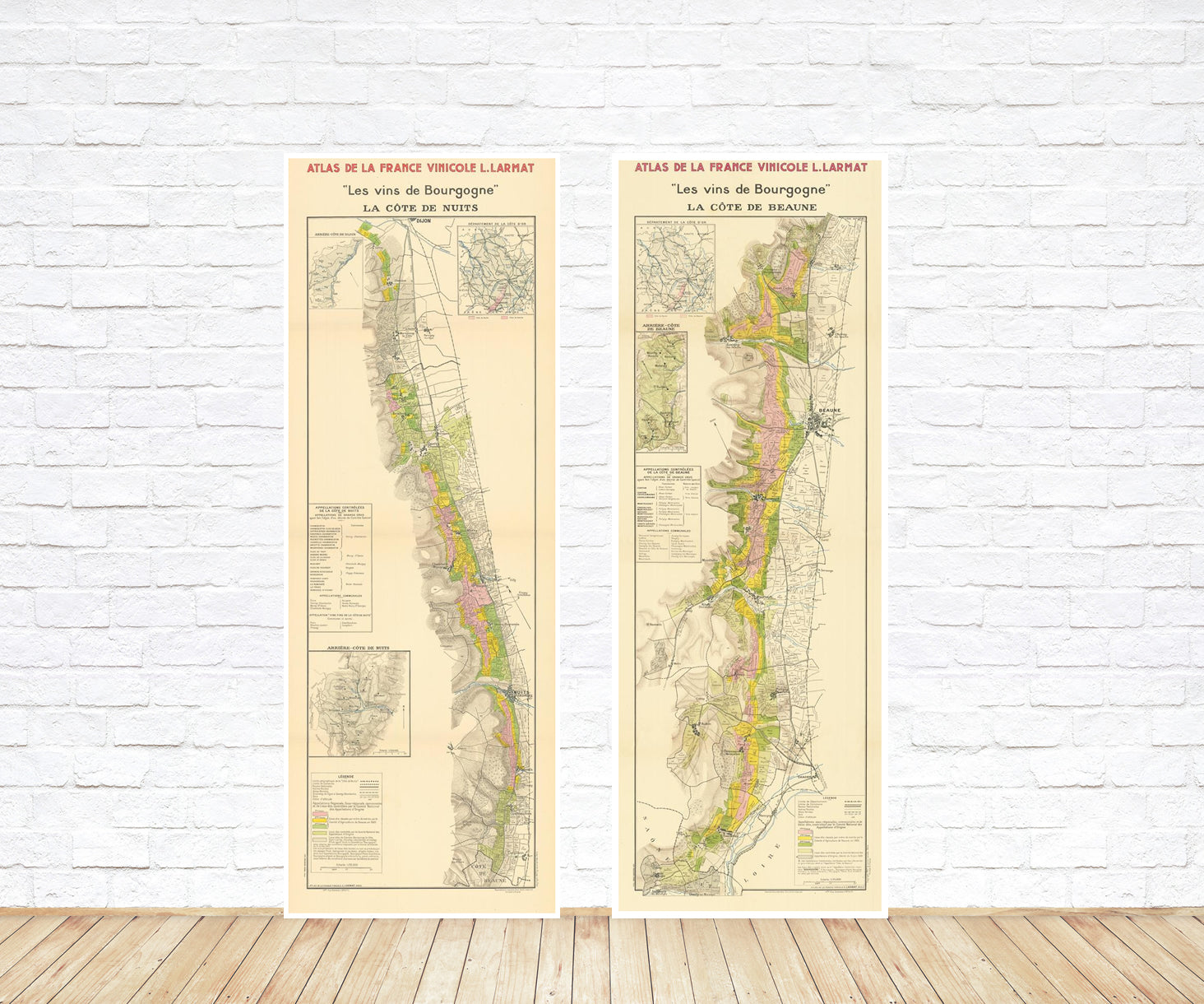
Wine maps
Explore the rich history of wine through centuries-old maps. Dive into the heritage, culture, and geography of wine regions with our collection of vintage wine maps.
These meticulously preserved historical treasures offer a window into the evolution of viticulture, showcasing how wine regions have transformed over the centuries.
-
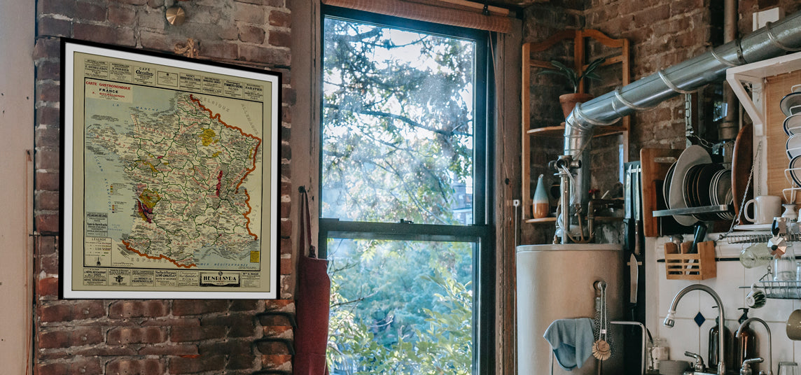
Gastronomic maps
Dive into a world of culinary exploration with our collection of gastronomic maps – your passport to gastronomic adventures like no other. Discover the intricate art of cheese-making and the exquisite world of gourmet delights through our meticulously curated Cheese Maps and Gastronomic Maps.
-
Empires maps
Travel through history as you explore the territorial expanse, conquests, and cultural influences of some of the world's most powerful civilizations. Our antique maps bring the epic tales of empires to life, offering a captivating glimpse into the rise and fall of these extraordinary realms. See all empires maps >
