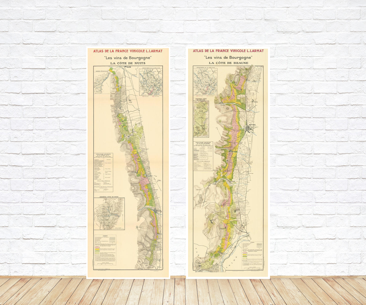
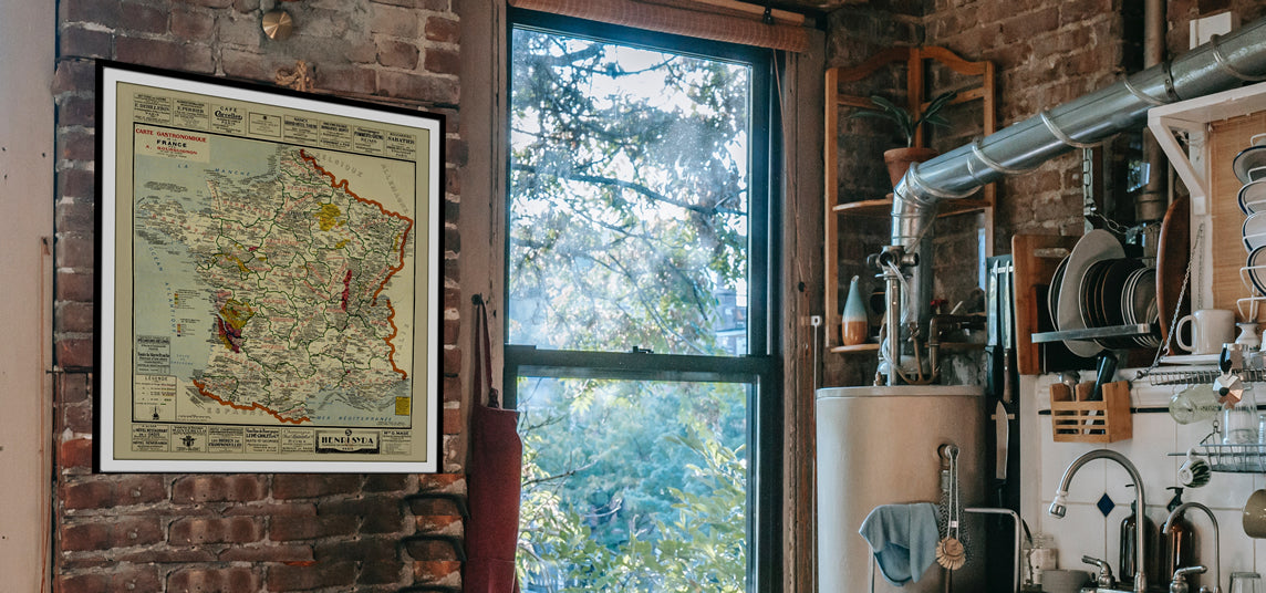
The 1950 Geological Map of Ibiza stands as an invaluable repository of knowledge, offering a window into the intricate geological narrative that has shaped this Mediterranean jewel. Beyond its scientific significance, it is a work of art, a historical gem that any collector would proudly display.
Delving into the geological annals of Ibiza, one uncovers a saga written over millions of years, a tale of colliding continents, ancient rocks, and a diverse terrain that has witnessed the rise of civilizations and the evolution of a thriving modern tourist industry.
At the heart of this narrative lies the epic clash of tectonic giants - the African and Eurasian plates. This colossal collision, unfolding over eons, set the stage for the birth of Ibiza. It was a slow, relentless dance, giving birth to an island that we now call home. These geological titans forged Ibiza, shaping its destiny in the most profound manner imaginable.
The rocks that compose the bedrock of Ibiza are like the pages of a geological history book. Some are relics from the Jurassic period, whispering tales of a time when dinosaurs roamed the Earth. Others are mere infants in comparison, their birth dating back to the Pleistocene epoch. These rocks, laid down over millennia, tell the story of Ibiza's geological evolution, preserving the secrets of the island's past within their mineral structure.
But Ibiza is not merely a monotonous expanse of stone. It is a place of astonishing geological diversity. Its landscape is a patchwork of contrasts, where soaring mountains, sprawling salt flats, and enigmatic caves share the same stage. The mountains, with their rugged grandeur, have been sculpted by time and weather, standing as silent witnesses to the island's tumultuous geological history. The salt flats, on the other hand, offer a stark contrast, reflecting the interplay between land and sea, where salt has been harvested for centuries. And then there are the caves, hidden beneath the surface, carved by the relentless work of water and time. They are enigmatic portals to the past, holding clues to ancient life and forgotten stories.
The geological tapestry of Ibiza is not just a story etched in stone; it is a narrative that has left an indelible mark on the island's cultural and economic development. From its earliest inhabitants, who drew sustenance from the land and sought refuge in its caves, to the modern era, where tourism reigns supreme, Ibiza's geology has played a pivotal role. The island's rich soils have supported agriculture for centuries, sustaining communities that have thrived in its fertile embrace. Its caves, too, have sheltered generations of islanders, serving as homes, places of worship, and even secret meeting spots for pirates.
In the contemporary age, the geological wonders of Ibiza continue to shape its destiny. The island's unique landscape, with its picturesque cliffs and hidden coves, has made it a magnet for tourists seeking natural beauty and adventure. Its salt flats are not only a testament to traditional salt production but also a vital ecosystem supporting diverse birdlife. And the caves, once places of refuge, have become an integral part of the island's nightlife, hosting world-renowned clubs that pulse with electronic beats deep into the night.
In conclusion, the 1950 Geological Map of Ibiza is not just a map; it's a gateway to a world of geological wonders and historical intrigue. It unveils the epic geological tale of an island forged in the crucible of tectonic forces, an island where ancient rocks, diverse landscapes, and a rich cultural heritage intertwine to create a living legacy that continues to captivate and inspire. Ibiza's geology is not confined to the past; it is very much a part of its present and future, a force that continues to shape the island's destiny.