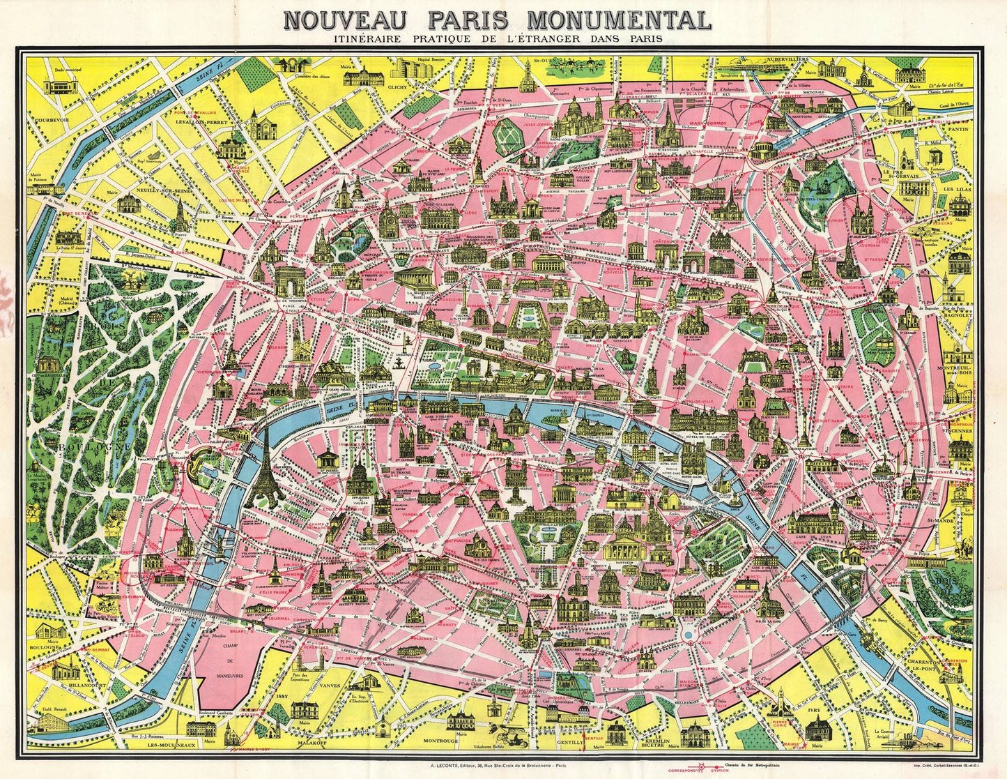
The 1948 Leconte Pictorial Map of Paris, France, is a captivating and detailed depiction of the iconic city, offering a unique blend of cartographic precision and artistic flair. Created by renowned artist Leconte, this map provides an engaging and informative visual representation of Paris during the post-World War II era. It captures the essence of the city with its historical landmarks, cultural hotspots, and vibrant streets, making it a valuable resource for historians, tourists, and art enthusiasts alike.
The year 1948 was a significant period for Paris, as the city was recovering and rebuilding after the devastation of World War II. This map reflects the renewed optimism and vibrancy of Paris in the late 1940s, highlighting the city's resilience and cultural renaissance. Leconte’s map serves as a snapshot of this transformative period, documenting the historical and cultural landscape of Paris as it was emerging from the shadows of war into a new era of growth and prosperity.
Leconte’s pictorial map stands out for its artistic and cartographic excellence. The map combines accurate geographical details with charming illustrations, providing a comprehensive and visually engaging overview of Paris. The use of bright colors, detailed drawings, and whimsical elements brings the city to life, making the map not only a navigational tool but also a piece of art.
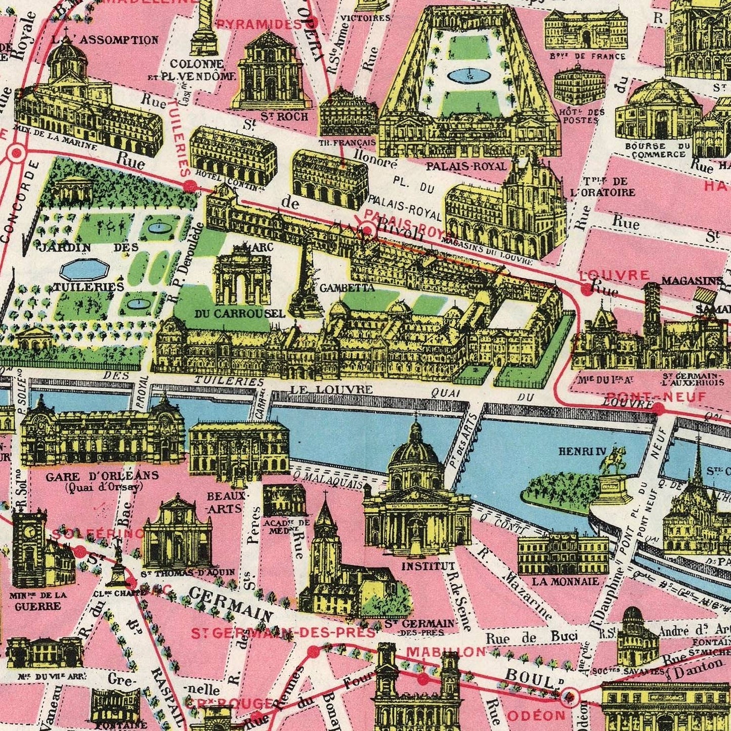
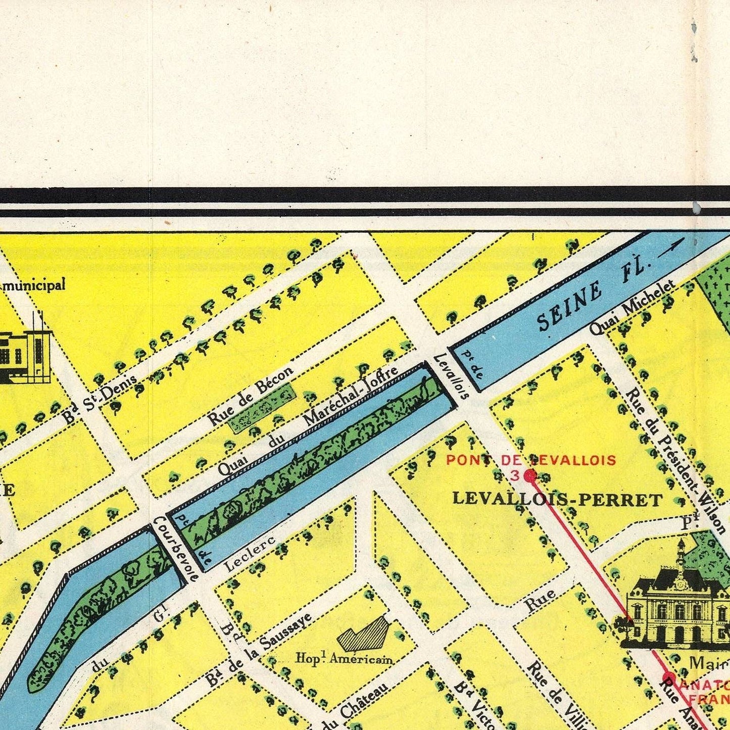
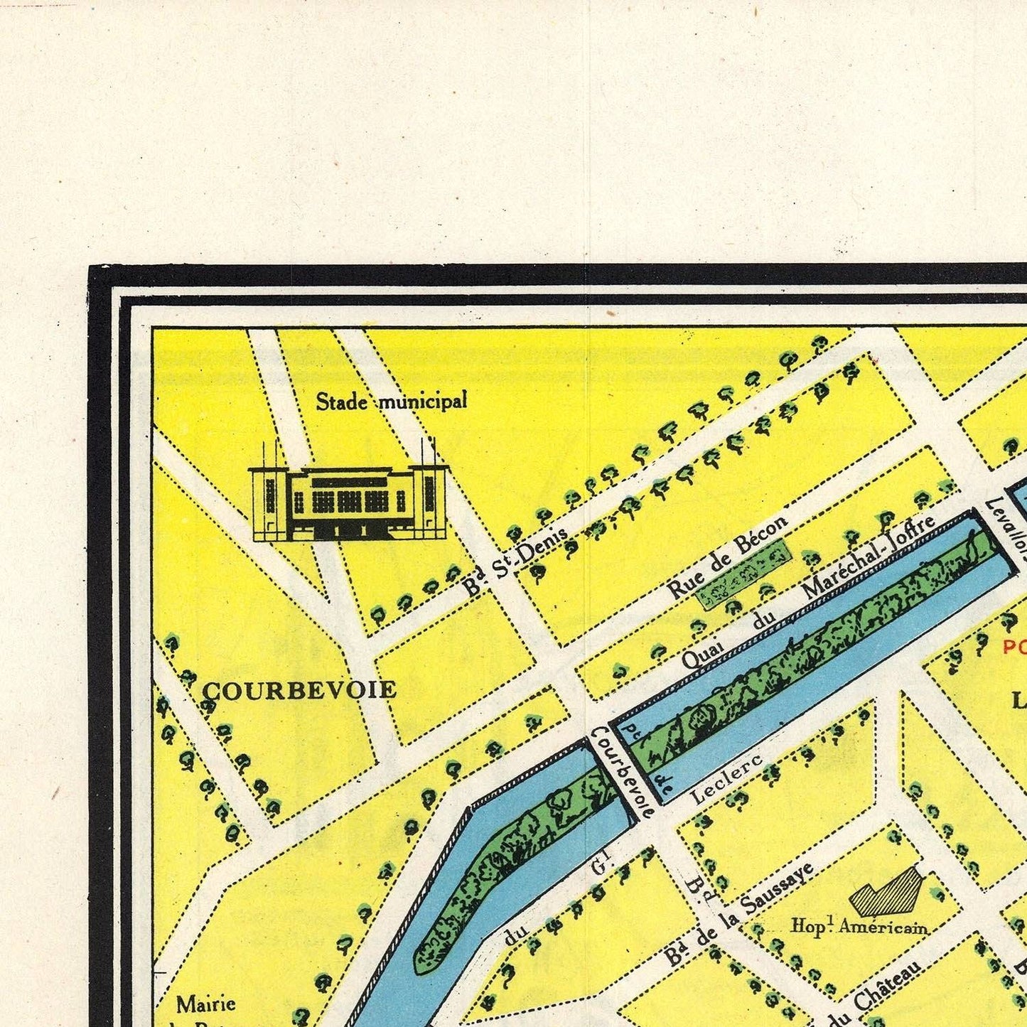
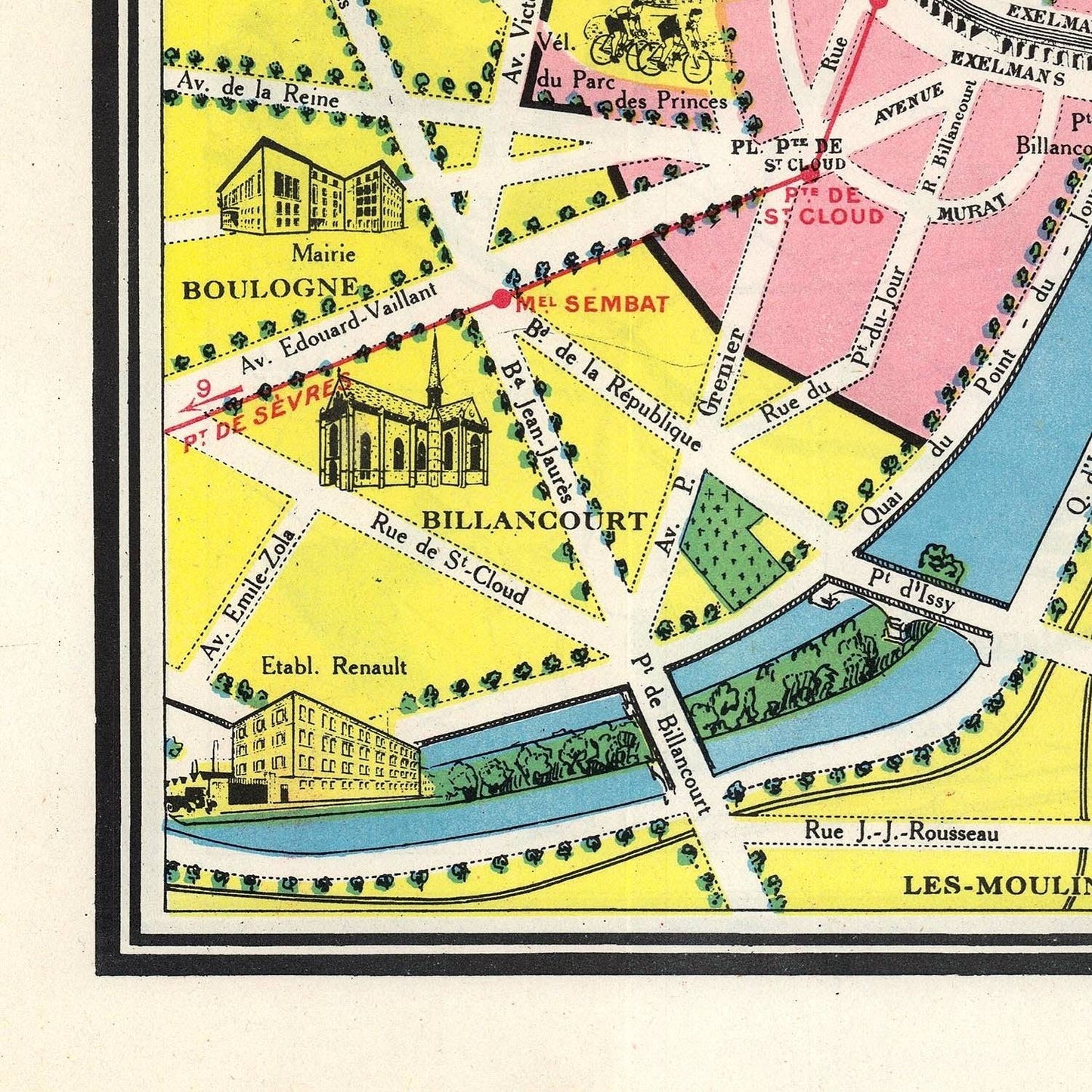
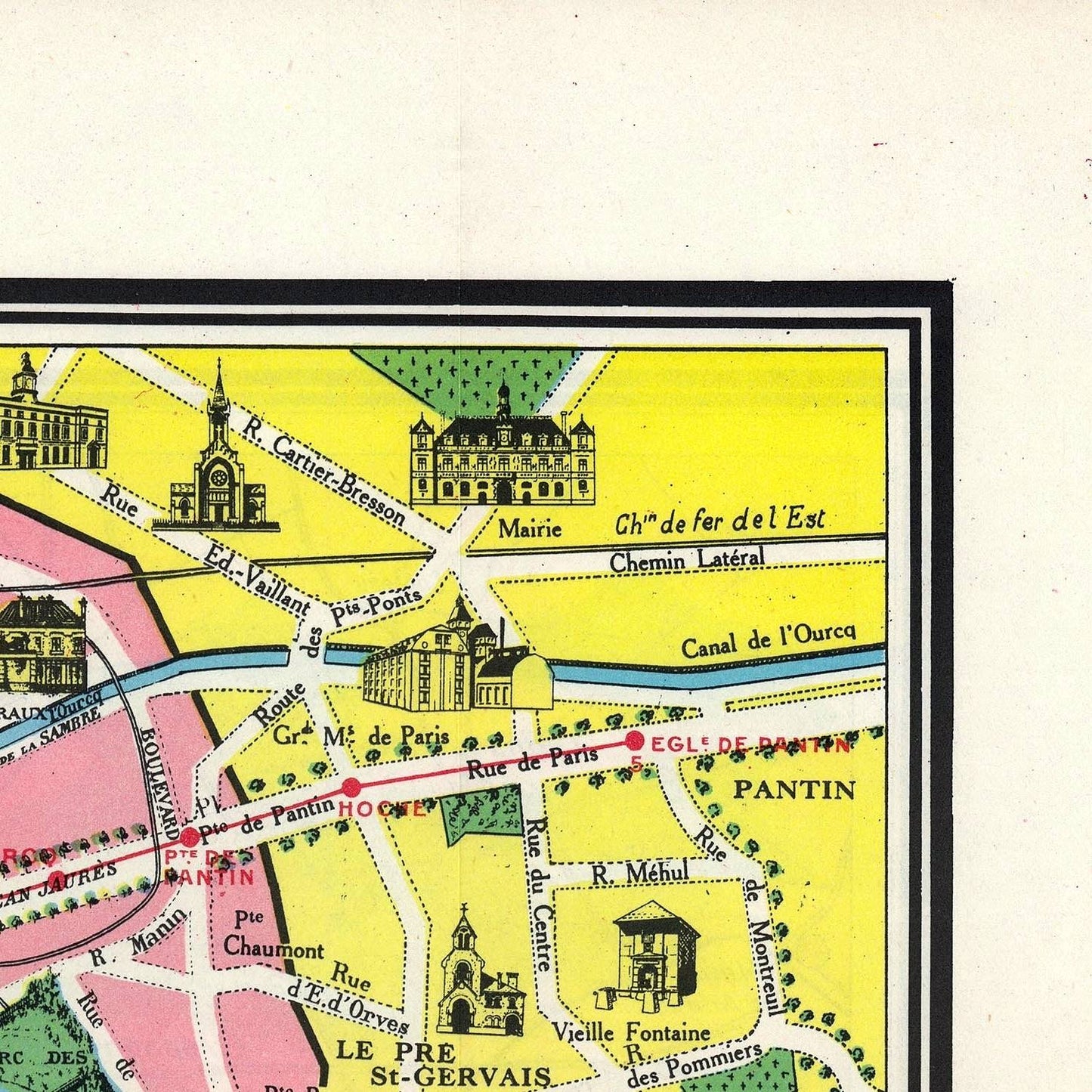
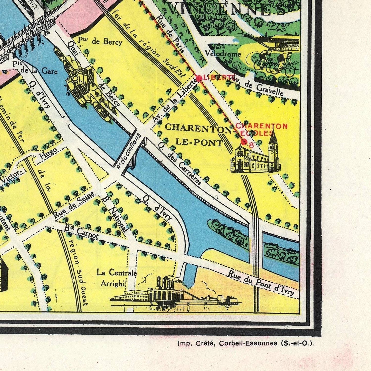
The map meticulously details Paris’s geography, including its iconic neighborhoods, major streets, and natural features. The Seine River, with its characteristic bends, serves as the map's central axis, with famous bridges such as Pont Neuf and Pont Alexandre III clearly depicted. Surrounding the river, the map highlights significant areas like the Left Bank, the Marais, Montmartre, and the Latin Quarter, each illustrated with its unique charm and character.
One of the most captivating aspects of the Leconte map is its depiction of Paris's cultural and historical landmarks. Renowned sites such as the Eiffel Tower, Notre-Dame Cathedral, the Louvre, and the Arc de Triomphe are prominently featured. Each landmark is illustrated with meticulous detail, reflecting its architectural beauty and historical significance. The map also includes lesser-known gems, such as quaint cafes, charming parks, and historic theaters, offering a comprehensive guide to the city's rich cultural heritage.
Leconte’s map is an excellent resource for tourists, highlighting popular attractions and activities across Paris. Famous museums, art galleries, and performance venues are marked, showcasing Paris as a cultural epicenter. The map also points out notable shopping districts, renowned restaurants, and bustling markets, providing visitors with a well-rounded view of the city’s vibrant lifestyle. Recreational spots like the Luxembourg Gardens and the Tuileries are depicted, emphasizing the city’s green spaces and their importance to Parisian life.
In summary, the 1948 Leconte Pictorial Map of Paris, France, is a beautifully crafted representation of the city, combining artistic charm with geographical accuracy. It captures the historical landmarks, cultural hotspots, and vibrant streets of Paris, offering a unique and engaging visual journey through the City of Light. This map remains an enduring piece of cartographic art, celebrated for its historical and aesthetic contributions.