Skip to product information
1 of 7

Vintage Bordeaux wine map, Région des Graves et de l'Entre-Deux-Mers, 1901

SKU:  195295

Vintage Bordeaux wine map, Région des Graves et de l'Entre-Deux-Mers, 1901

Regular price €105,91 EUR
Regular price Sale price €105,91 EUR
Sale Sold out
Tax included. Shipping calculated at checkout.

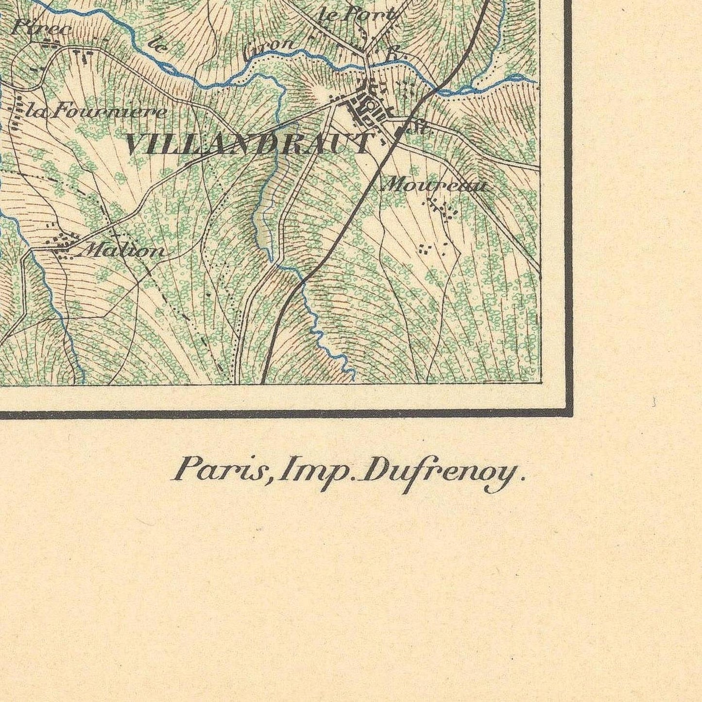
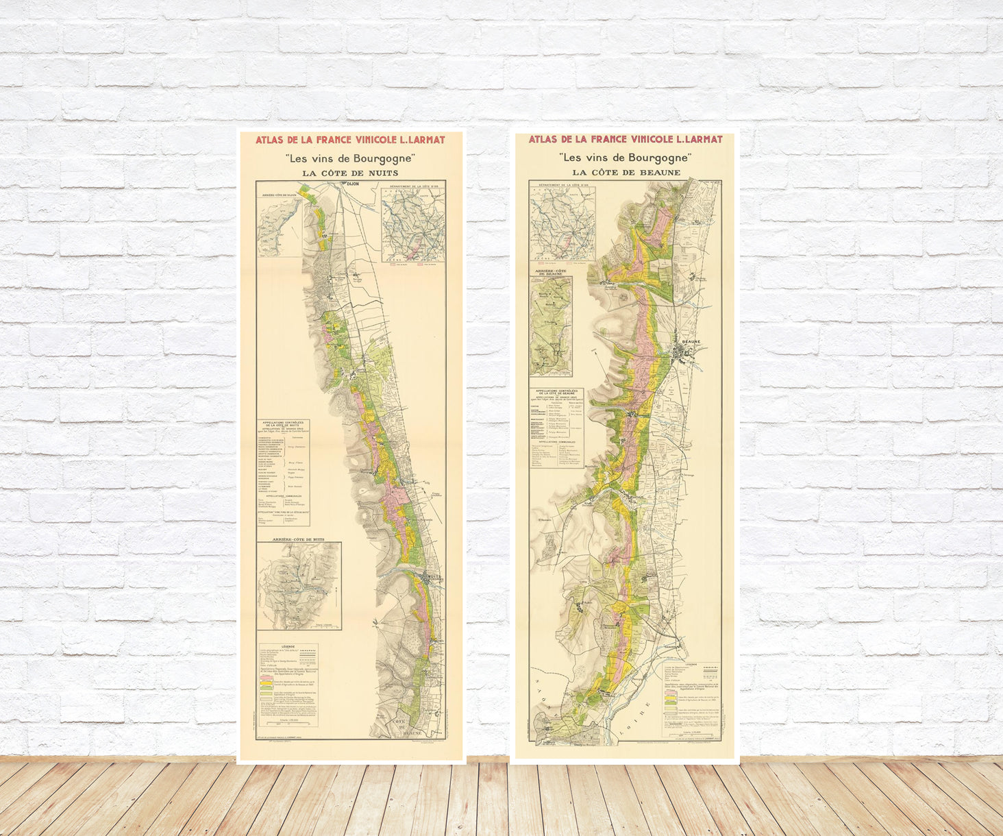
This finely detailed vintage map titled “Région des Graves et de l’Entre-Deux-Mers” presents a comprehensive cartographic view of two important wine regions surrounding the historic city of Bordeaux. Created in the elegant style of early twentieth-century French wine cartography, the map illustrates the vineyards, villages, rivers, and transport routes that define this influential part of the Bordeaux wine landscape.

At the western side of the composition lies the Graves region, located south of Bordeaux along the left bank of the Garonne River. This area is historically significant as one of the oldest wine-producing districts in Bordeaux. Its gravelly soils—reflected in the name “Graves”—provide ideal drainage and warmth for vines, producing both distinguished red wines and renowned dry and sweet whites. The map carefully marks numerous vineyard estates and small communes scattered across the rolling terrain south of the city.

To the east stretches the expansive region known as Entre-Deux-Mers, literally meaning “between two seas.” The name refers to the territory situated between the Garonne River and the Dordogne River. This broad and fertile area contains a dense network of rural villages, forests, and vineyards, historically known for producing fresh, aromatic white wines as well as a variety of regional Bordeaux blends.

The map’s long horizontal format follows the natural geography of the river valleys and emphasizes the relationship between waterways, transportation routes, and vineyard locations. Railways, roads, and small settlements are carefully engraved, illustrating how wine production and trade were historically connected to the infrastructure surrounding Bordeaux.

Subtle color shading highlights wooded areas and cultivated land, while precise typography ensures that hundreds of local place names remain legible. The result is both scientifically informative and visually balanced.

Today, this map stands as an important historical document that captures the geographic structure of the Bordeaux wine region. At the same time, its refined design and panoramic layout make it an attractive decorative piece celebrating the enduring heritage of French viticulture.

Materials

Cotton canvas, matte photo paper, fine art paper, pigmented inks.

  • The canvas it's 99 % cotton, 450 gr/sqm;
  • The matte photo paper it's acid-free (archival paper), 190 gr/sqm;
  • The fine art photo paper it's satinated (semi-glossy), 140 gr/sqm.

Shipping & Returns

Dispatching time: 1-2 days.

* Standard shipping fee: The orders will be sent by priority registered mail, usually via client National Post (USPS, Canada Post, Royal Mail, LaPoste, Deutsche Post, PostNL, etc). The delivery times are not guaranteed, sometimes it will take longer and these are beyond our control. Tracking number will be provided. Clients from US and Canada cannot track the parcels as the tracking numbers are not rolled in USPS and Canada Post systems.

UPS standard: The orders will be sent with UPS expedited option. The delivery time it's between 5-11 days. Tracking number will be provided after dispatch.

UPS express: The orders will be sent with UPS express saver. The delivery time it's between 4-7 days. Tracking number will be provided after dispatch.

Framing tips

Both type of materials, paper and canvas prints come rolled and will be need to be taken to your local framers.

The image it's printed with a border of 0.6 " (1.5 cm), for framing purposes only.

If you have already a frame, be sure you send us the exact size of the print that will fit inside the frame. We're printing on vectorial plotters so the size could slightly be more or less with 0.4" (1 cm).

If you plan to have the canvas print stretched on wooden frame, you'll need additional border, so please let us know after placing the order.

The images above was cropped from the image at the biggest size available (keeping the best quality and aspect /ratio), so, for good details please choose biggest dimensions that will suit your preferences / space.

Care Instructions

The print media (canvas or photo paper) could be cleaned only with a dry, soft cloth.

View full details

Wine maps

Explore the rich history of wine through centuries-old maps. Dive into the heritage, culture, and geography of wine regions with our collection of vintage wine maps.

These meticulously preserved historical treasures offer a window into the evolution of viticulture, showcasing how wine regions have transformed over the centuries.

  • Gastronomic maps

    Dive into a world of culinary exploration with our collection of gastronomic maps – your passport to gastronomic adventures like no other. Discover the intricate art of cheese-making and the exquisite world of gourmet delights through our meticulously curated Cheese Maps and Gastronomic Maps.

  • Empires maps

    Travel through history as you explore the territorial expanse, conquests, and cultural influences of some of the world's most powerful civilizations. Our antique maps bring the epic tales of empires to life, offering a captivating glimpse into the rise and fall of these extraordinary realms. See all empires maps >