Kan beschikbaarheid voor afhalen niet laden
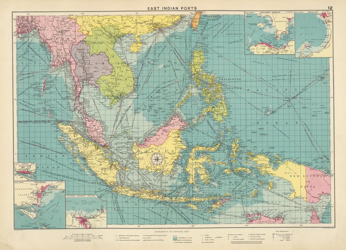
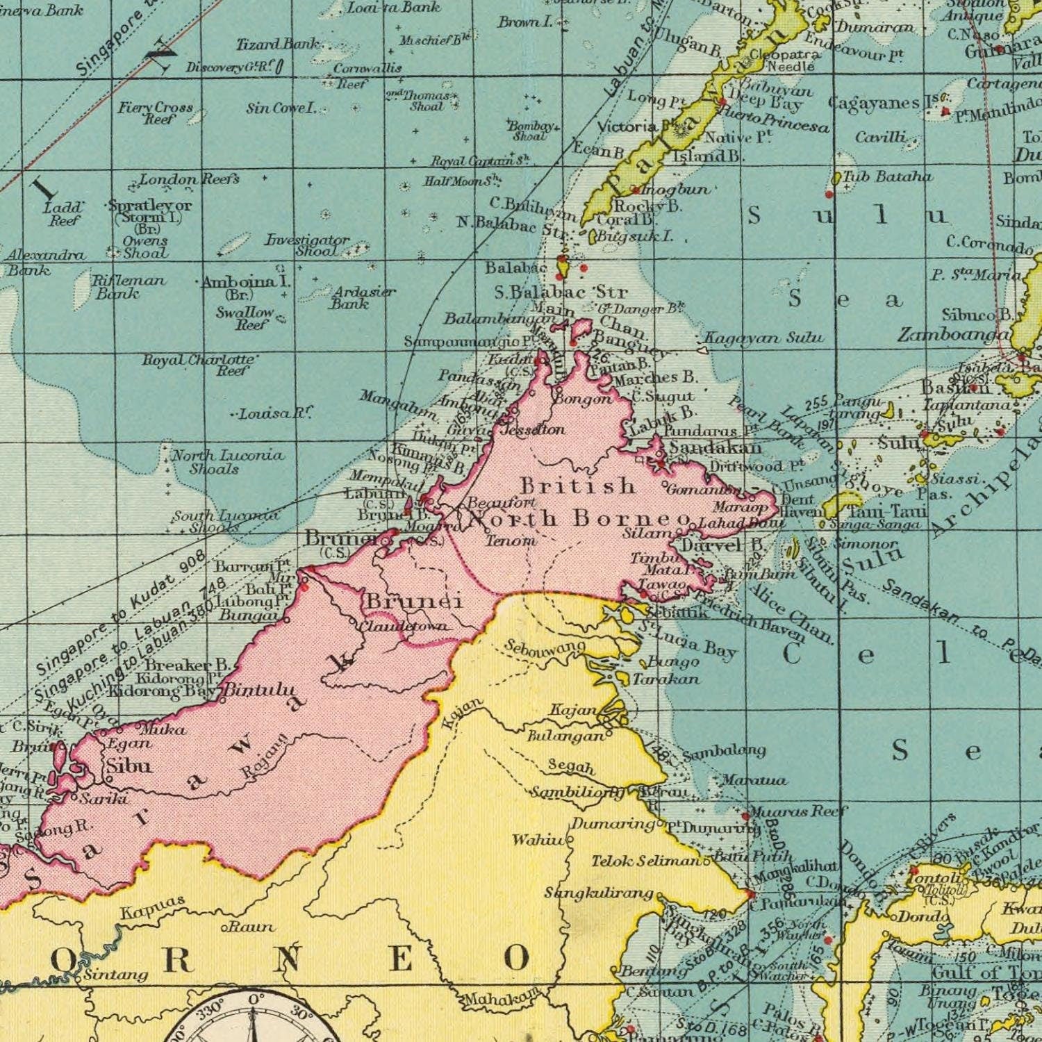
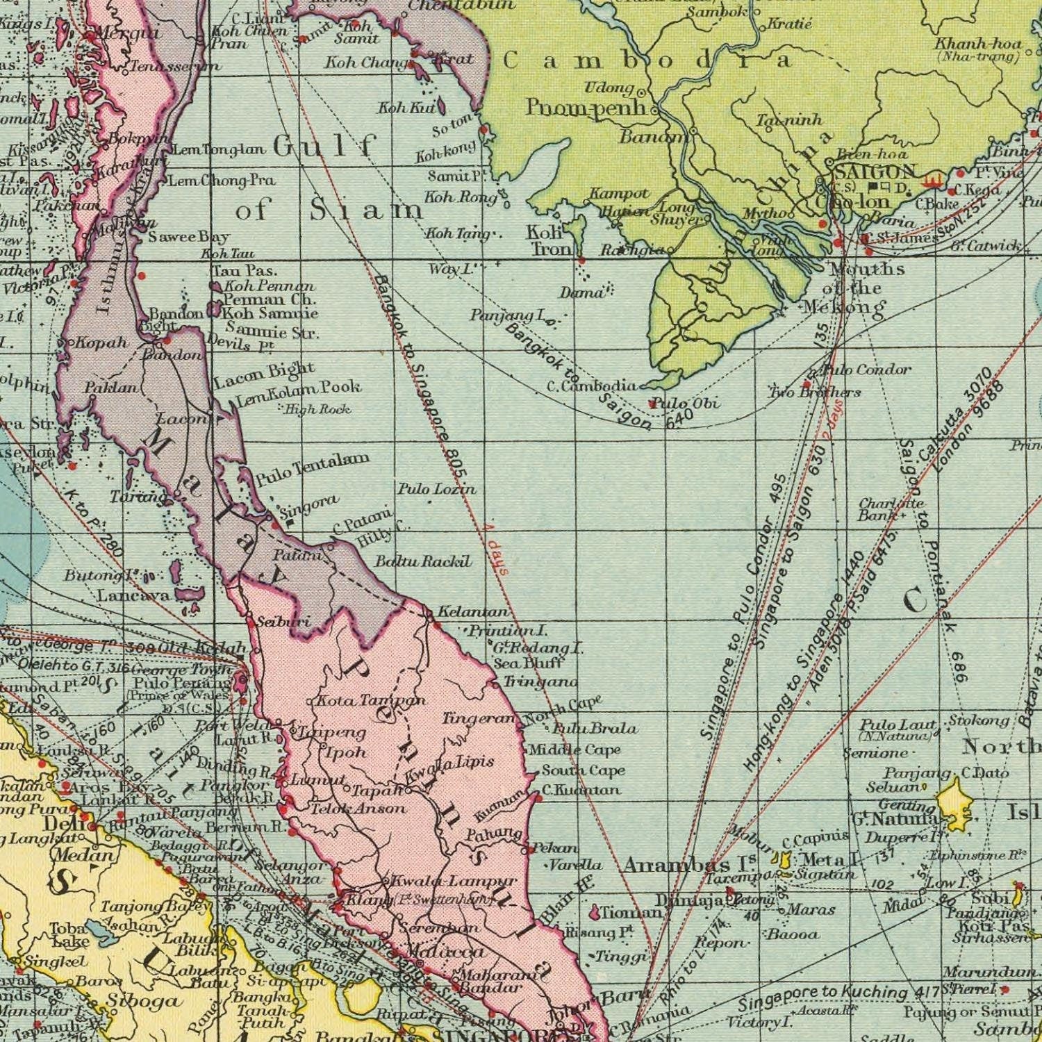
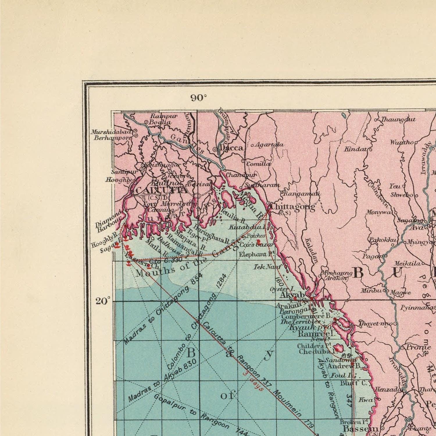
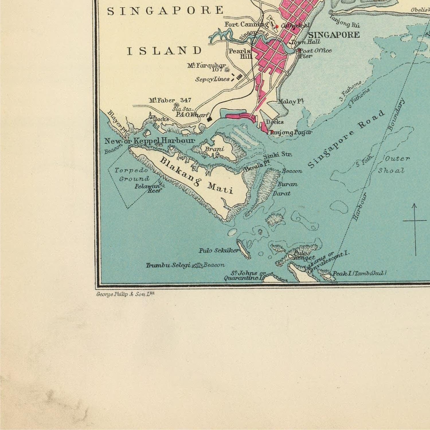
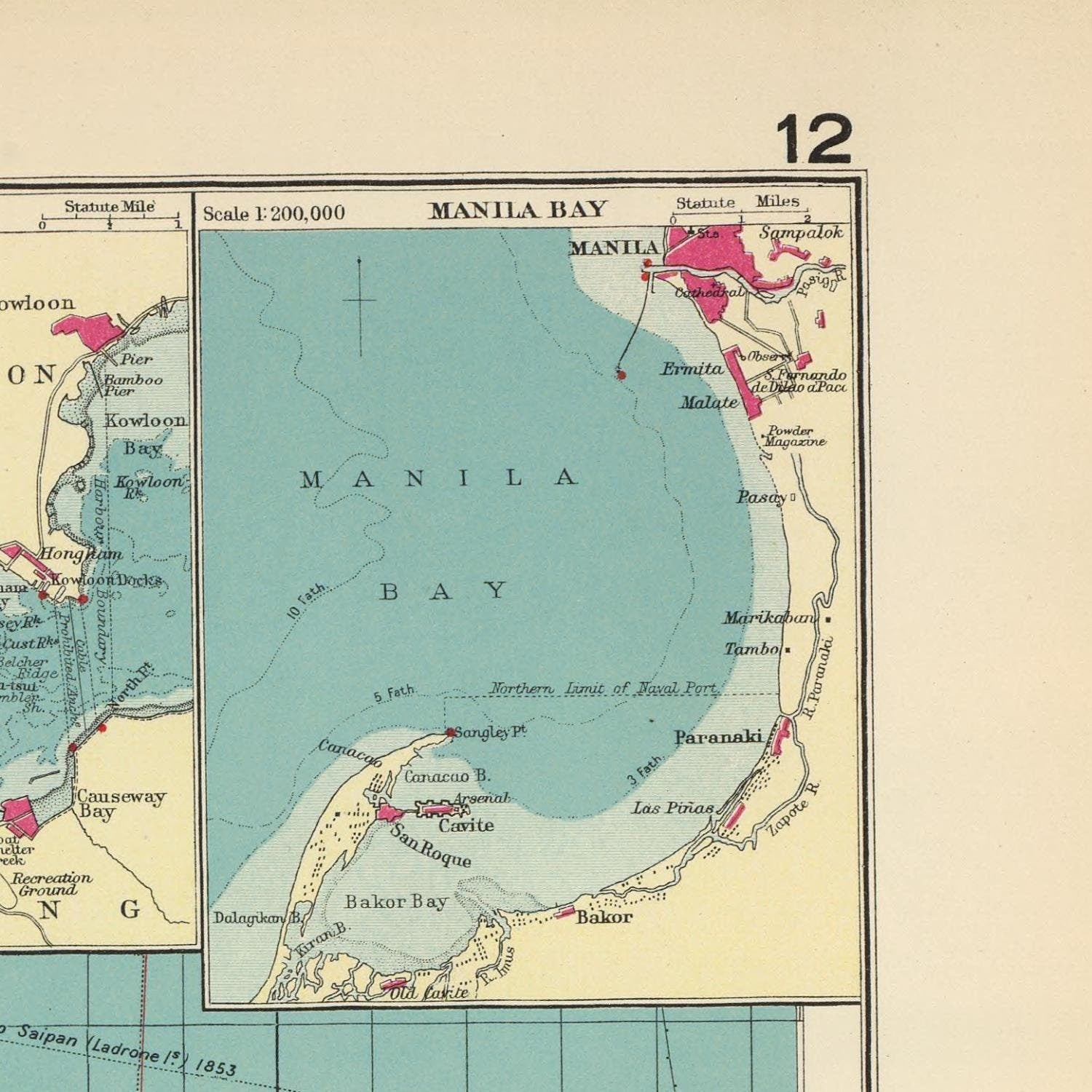
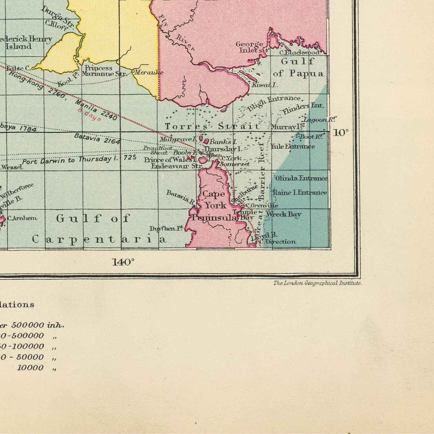
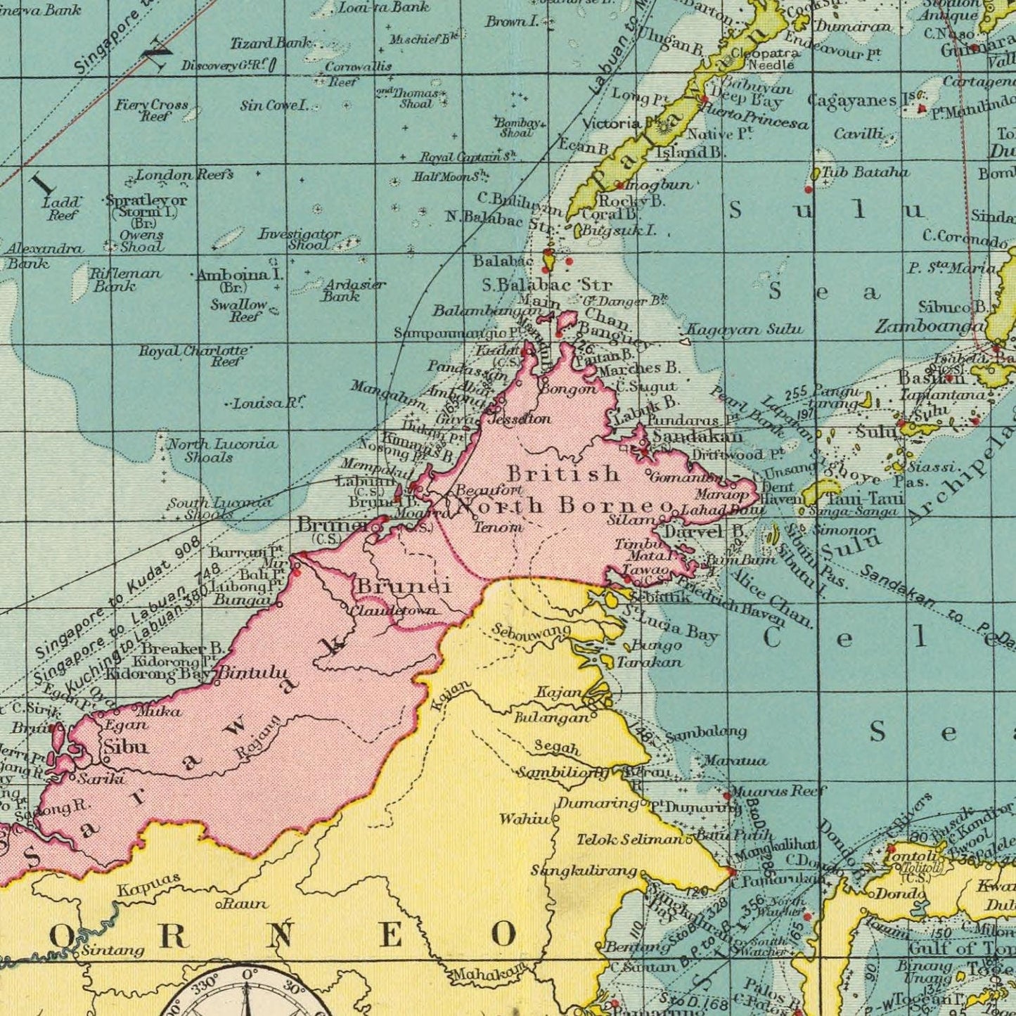
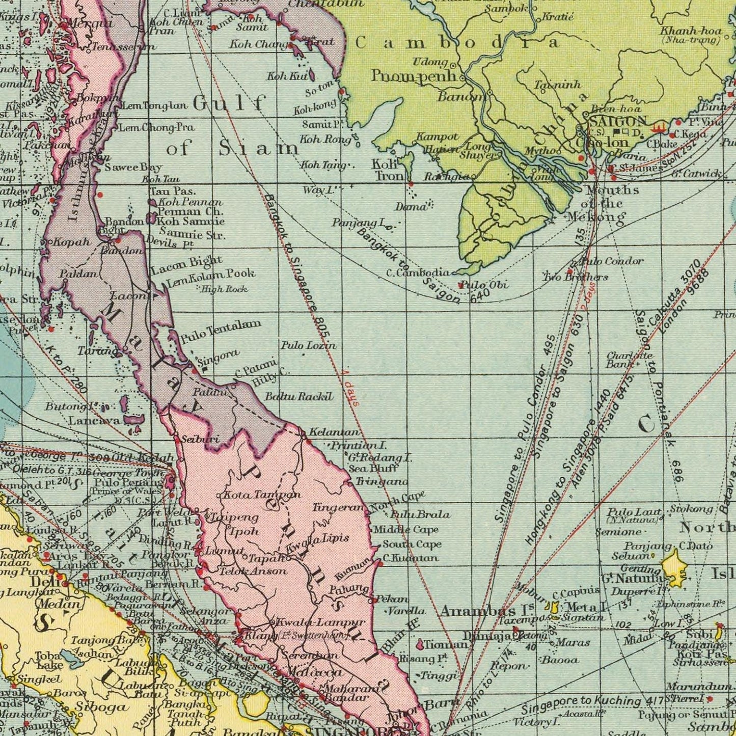
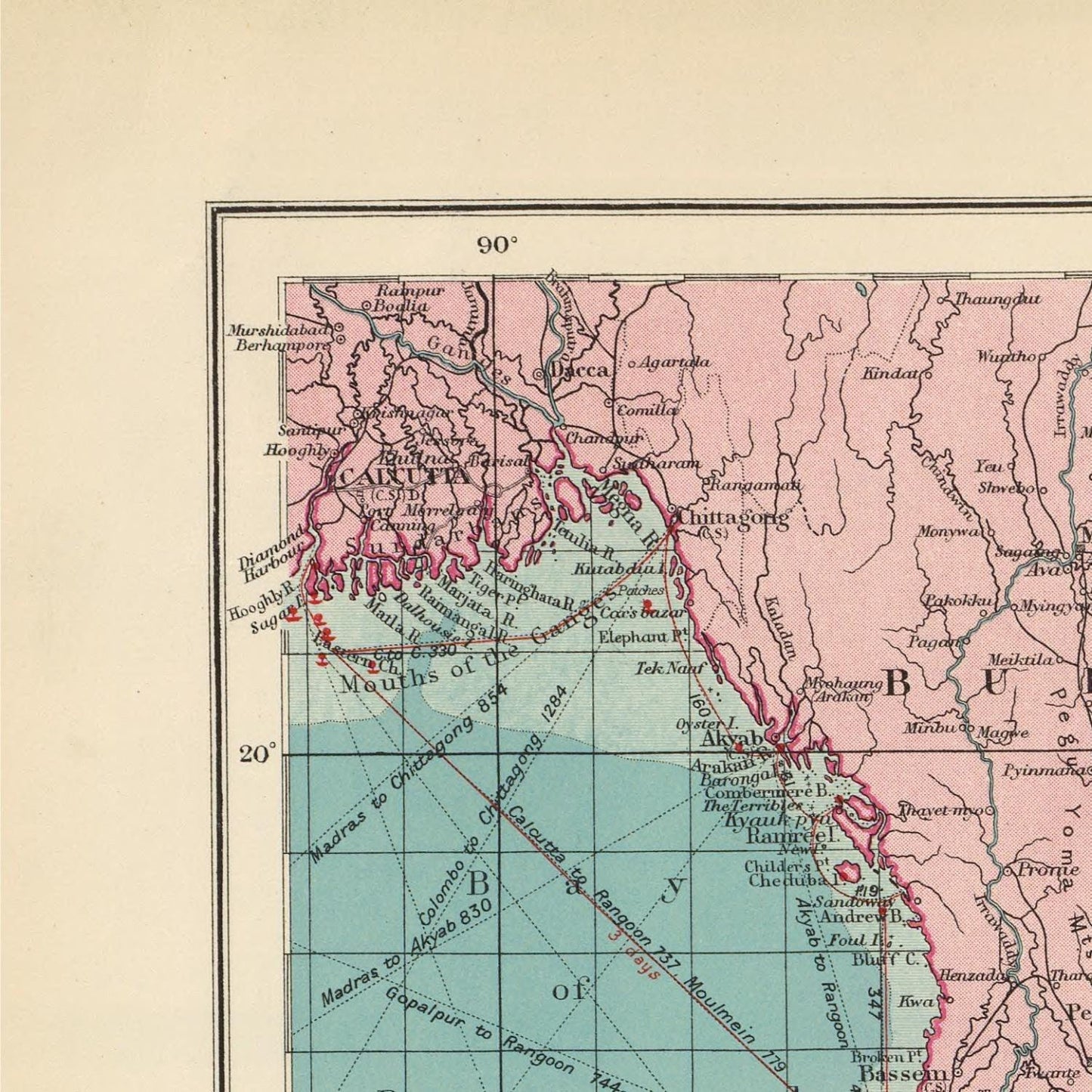
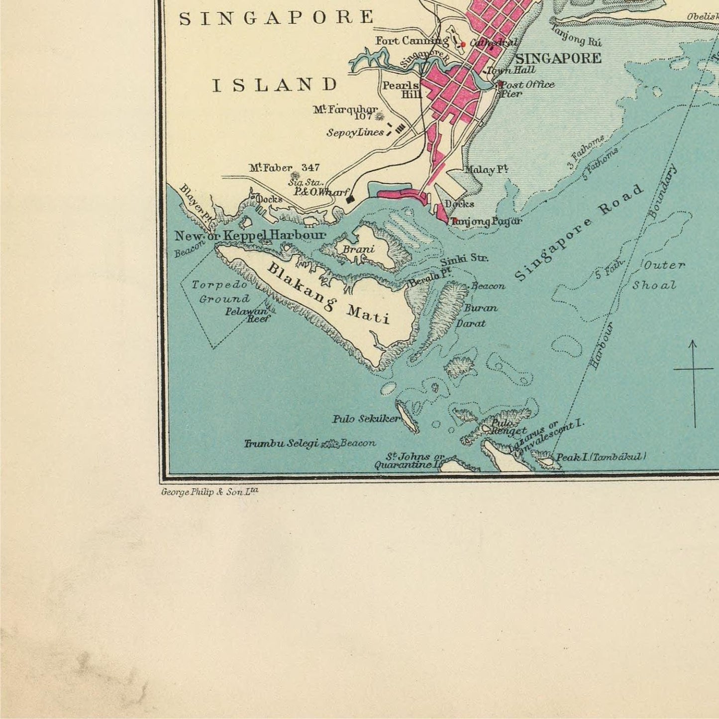
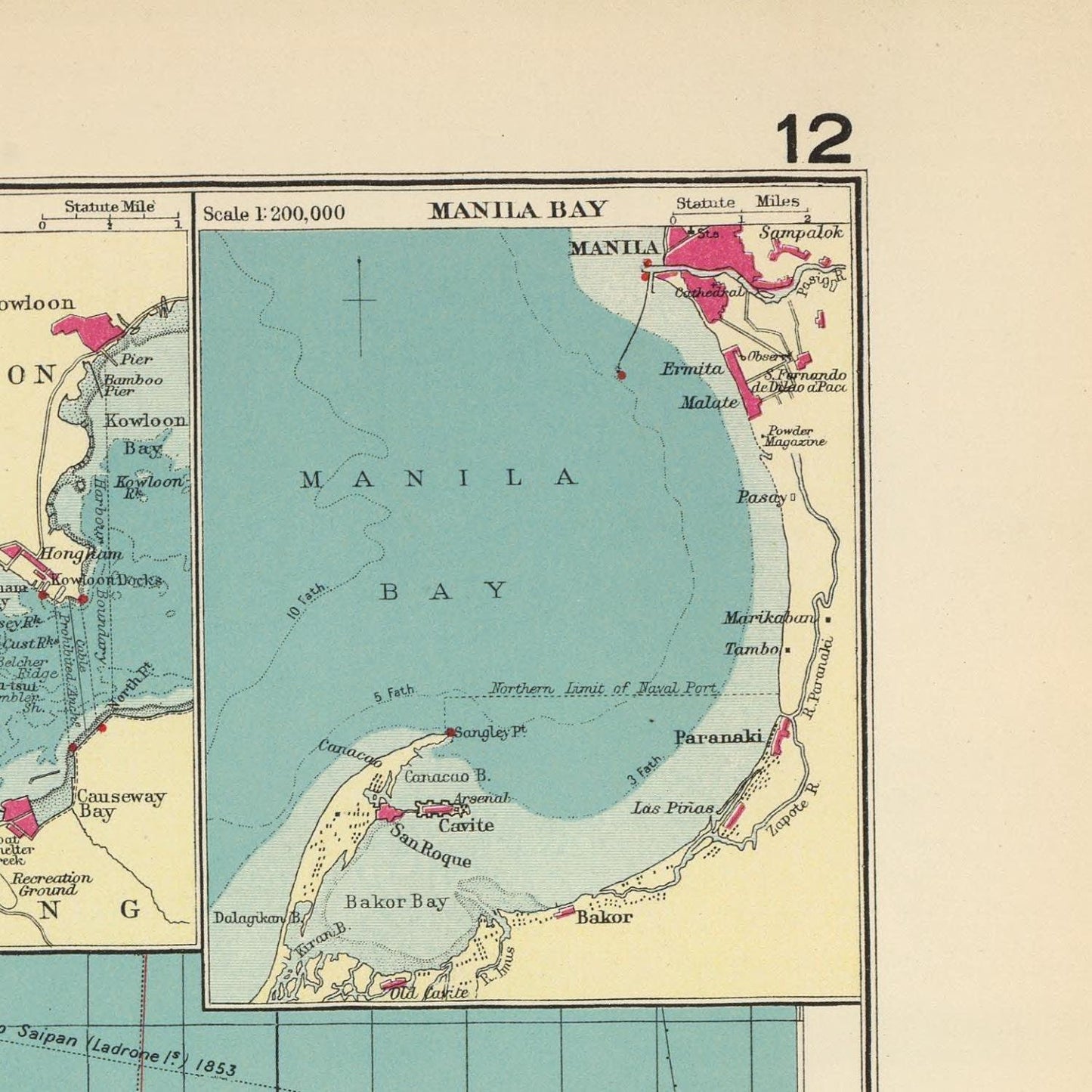
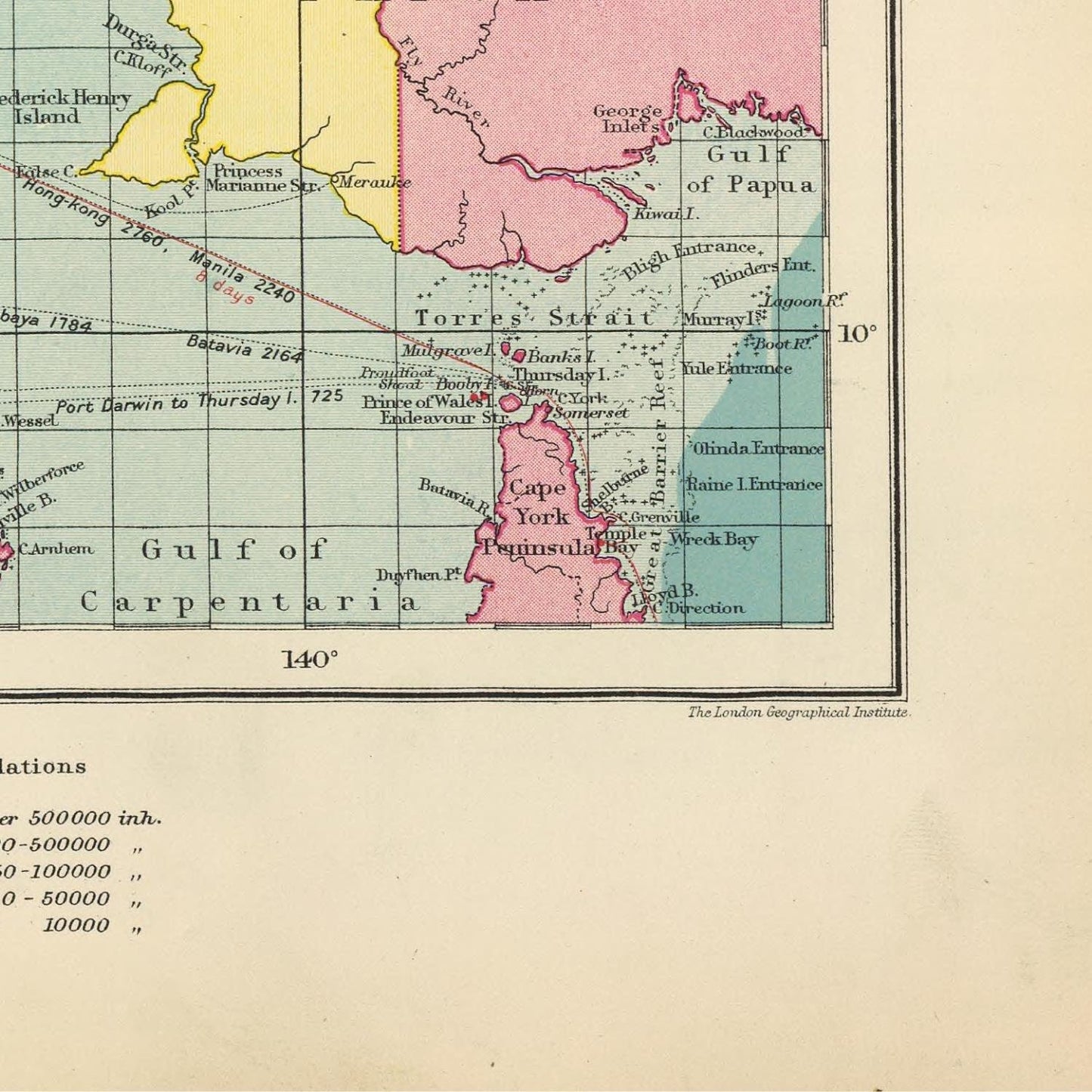
In 1922, George Philip & Son Ltd., in collaboration with The London Geographical Institute, released a significant map titled "East Indian Ports." This large-scale map focused on the Indian Ocean and its surrounding regions, specifically highlighting the ports and cities of the Indian subcontinent.
The map featured comprehensive annotations, including detailed place names, shipping routes, and various geographical landmarks. Notably, the ports were distinctly marked in red, accompanied by population statistics. The shipping routes were displayed in blue, along with the names of the ships typically traversing them. Geographical features such as mountains, rivers, and deserts were depicted in brown, providing a holistic representation of the region.
This cartographic masterpiece served as a valuable resource for individuals interested in the historical trade and shipping activities in the Indian Ocean area. With its meticulous rendering of the ports and cities of the Indian subcontinent and the interconnected shipping routes, the map offered a comprehensive overview of the region's maritime history. Moreover, its artistic excellence added to its allure, making it an aesthetically pleasing work of cartography.
George Philip & Son, Ltd. was a prominent map publishing company based in London, England. It was founded by George Philip (1800–1882) and became a leading map-making business during the 19th and 20th centuries. The company specialized in producing high-quality maps, atlases, and geographical publications that were widely used for educational, commercial, and reference purposes.
George Philip, the founder, was a Scottish cartographer and geographer who had a passion for maps and geography. He established his map business in 1834, and the company continued to thrive under his direction. George Philip's commitment to accuracy, detail, and innovation led to the company's success and its reputation for producing reliable and up-to-date maps.
Over the years, George Philip & Son, Ltd. expanded its operations and gained international recognition for its cartographic expertise. The company's maps covered various regions of the world, including detailed maps of Europe, Asia, Africa, the Americas, and more. They also produced thematic maps, historical maps, and atlases, catering to different interests and needs.
George Philip & Son's maps were characterized by their clarity, precision, and attention to detail. They were often used in schools, libraries, and offices as essential reference materials. The company's commitment to cartographic excellence made its maps highly sought after by explorers, governments, and businesses.
Find more maps of George Philip & Son
Throughout its long history, the company underwent several changes, including mergers and acquisitions. In the 20th century, George Philip & Son, Ltd. was acquired by various publishing groups. As a result, the company's name and structure evolved, and it continued to produce maps under different ownership and branding.
While I can provide information up to my last update in September 2021, I do not have real-time data. Therefore, for the most current information about the status or operations of George Philip & Son, Ltd., I recommend checking reliable business directories, historical references, or official source.
Materials
Materials
Cotton canvas, matte photo paper, fine art paper, pigmented inks.
- The canvas it's 99 % cotton, 450 gr/sqm;
- The matte photo paper it's acid-free (archival paper), 190 gr/sqm;
- The fine art photo paper it's satinated (semi-glossy), 140 gr/sqm.
Shipping & Returns
Shipping & Returns
Dispatching time: 1-2 days.
* Standard shipping fee: The orders will be sent by priority registered mail, usually via client National Post (USPS, Canada Post, Royal Mail, LaPoste, Deutsche Post, PostNL, etc). The delivery times are not guaranteed, sometimes it will take longer and these are beyond our control. Tracking number will be provided. Clients from US and Canada cannot track the parcels as the tracking numbers are not rolled in USPS and Canada Post systems.
* UPS standard: The orders will be sent with UPS expedited option. The delivery time it's between 5-11 days. Tracking number will be provided after dispatch.
* UPS express: The orders will be sent with UPS express saver. The delivery time it's between 4-7 days. Tracking number will be provided after dispatch.
Framing tips
Framing tips
Both type of materials, paper and canvas prints come rolled and will be need to be taken to your local framers.
The image it's printed with a border of 0.6 " (1.5 cm), for framing purposes only.
If you have already a frame, be sure you send us the exact size of the print that will fit inside the frame. We're printing on vectorial plotters so the size could slightly be more or less with 0.4" (1 cm).
If you plan to have the canvas print stretched on wooden frame, you'll need additional border, so please let us know after placing the order.
The images above was cropped from the image at the biggest size available (keeping the best quality and aspect /ratio), so, for good details please choose biggest dimensions that will suit your preferences / space.
Care Instructions
Care Instructions
The print media (canvas or photo paper) could be cleaned only with a dry, soft cloth.
Share
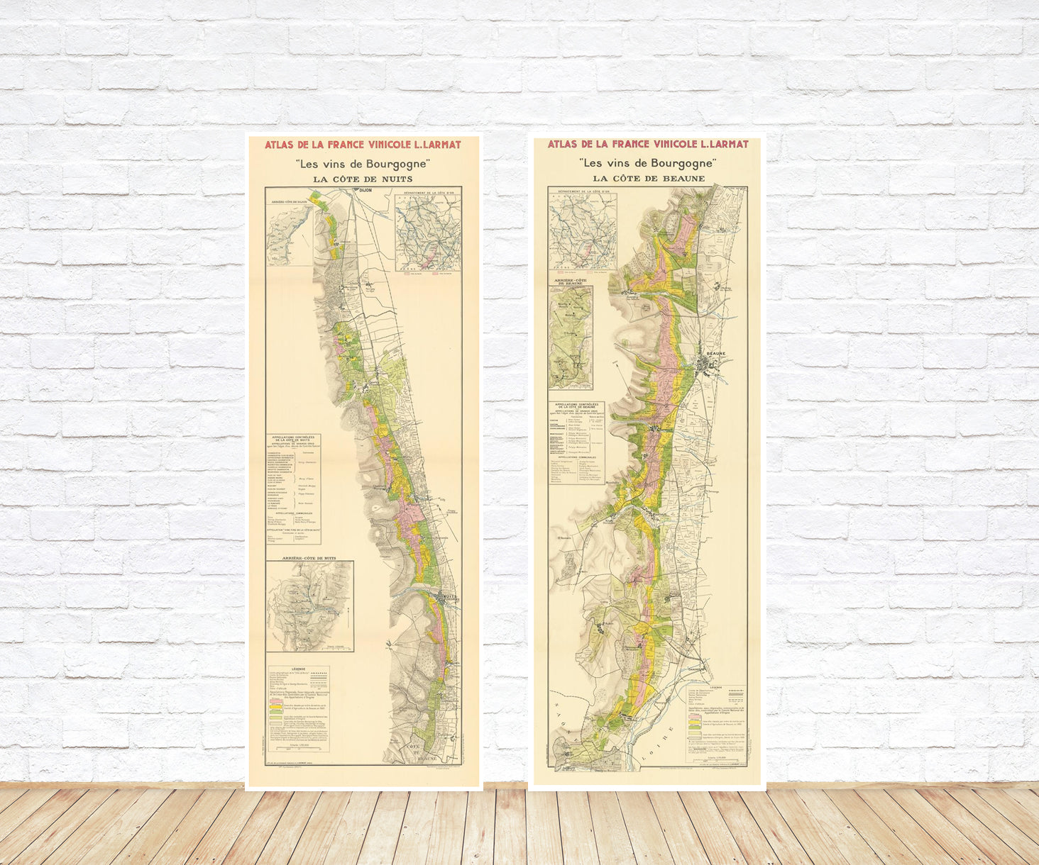
Wine maps
Explore the rich history of wine through centuries-old maps. Dive into the heritage, culture, and geography of wine regions with our collection of vintage wine maps.
These meticulously preserved historical treasures offer a window into the evolution of viticulture, showcasing how wine regions have transformed over the centuries.
-
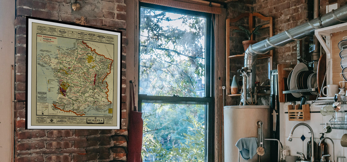
Gastronomic maps
Dive into a world of culinary exploration with our collection of gastronomic maps – your passport to gastronomic adventures like no other. Discover the intricate art of cheese-making and the exquisite world of gourmet delights through our meticulously curated Cheese Maps and Gastronomic Maps.
-

Empires maps
Travel through history as you explore the territorial expanse, conquests, and cultural influences of some of the world's most powerful civilizations. Our antique maps bring the epic tales of empires to life, offering a captivating glimpse into the rise and fall of these extraordinary realms. See all empires maps >

