Kan beschikbaarheid voor afhalen niet laden
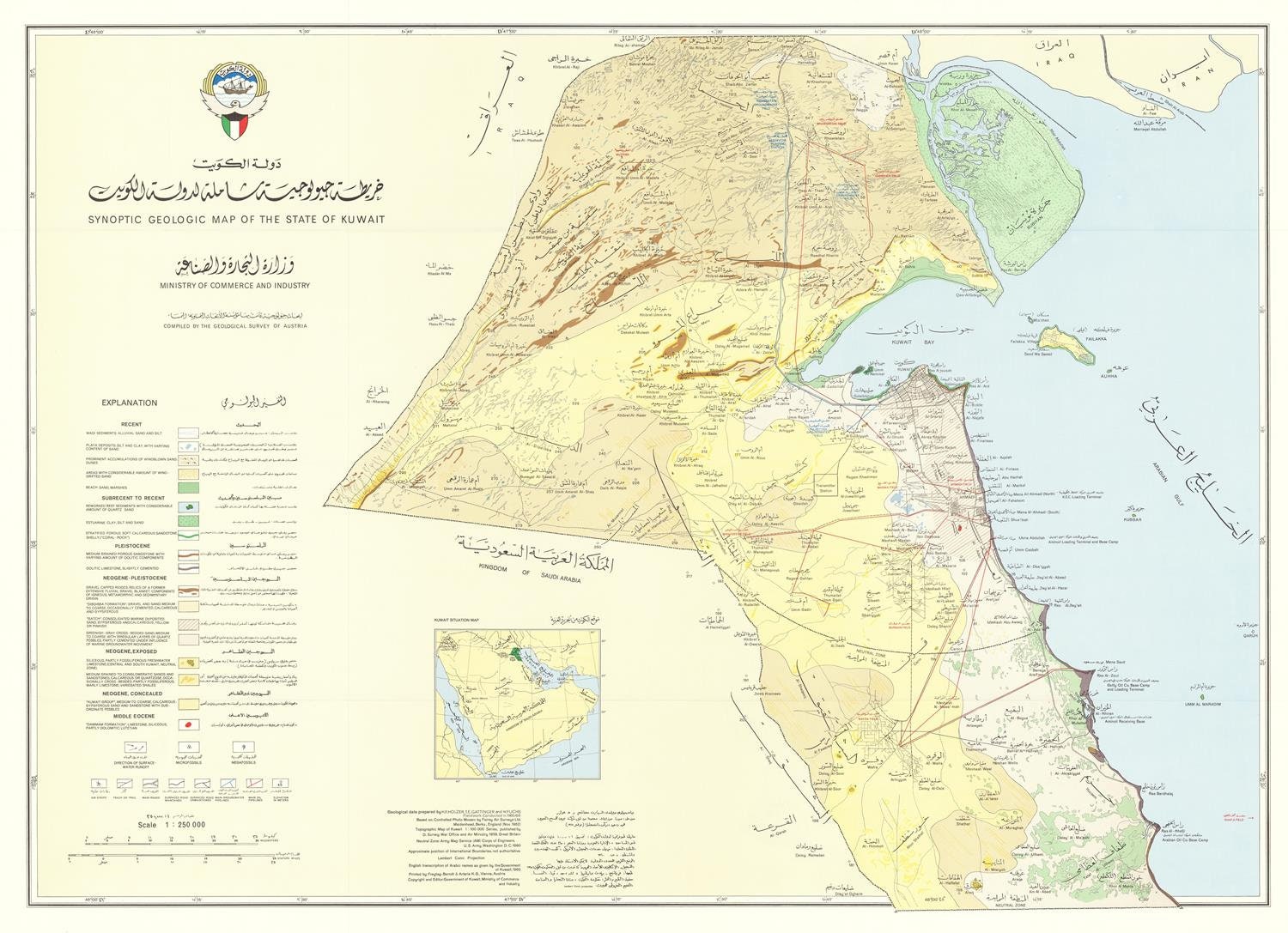
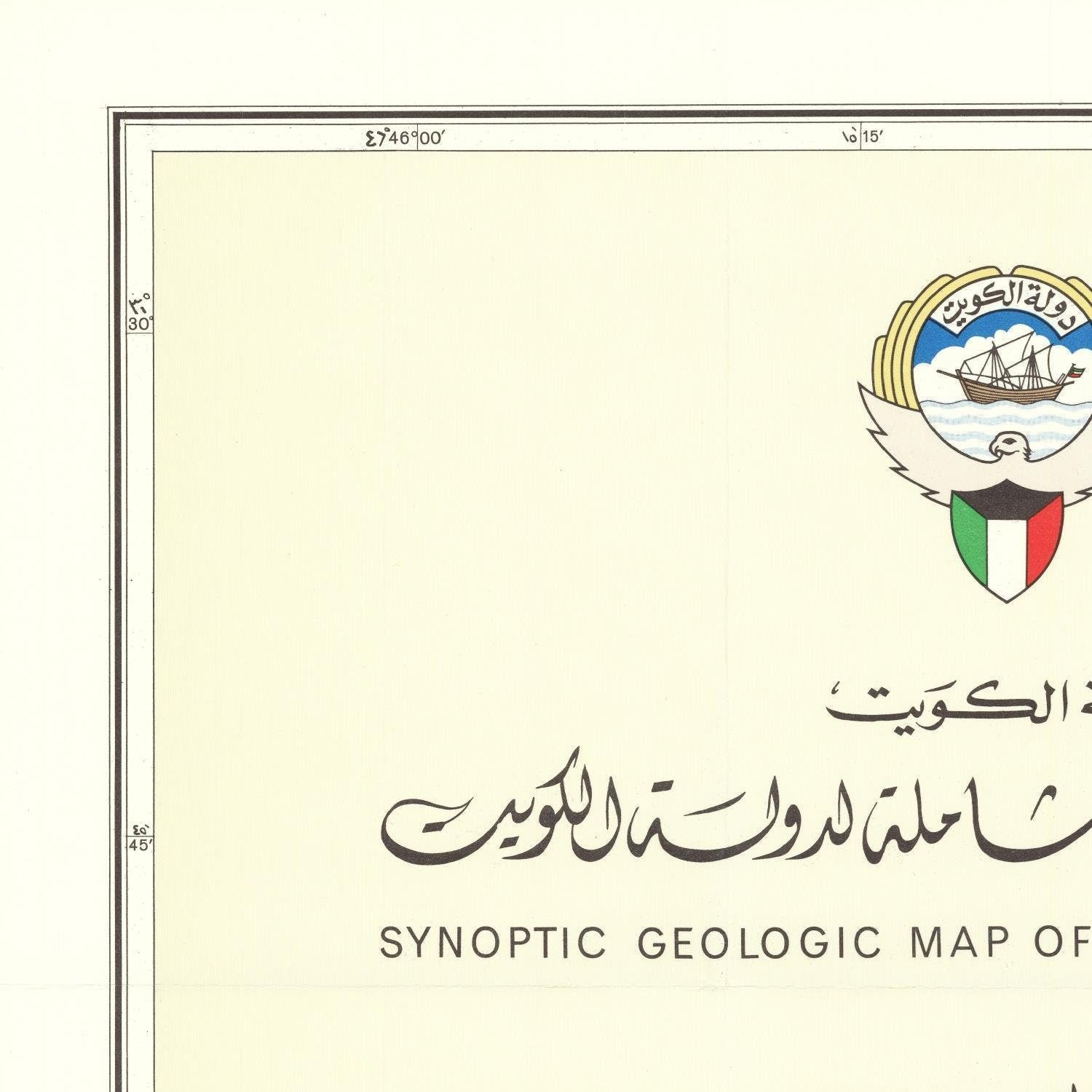
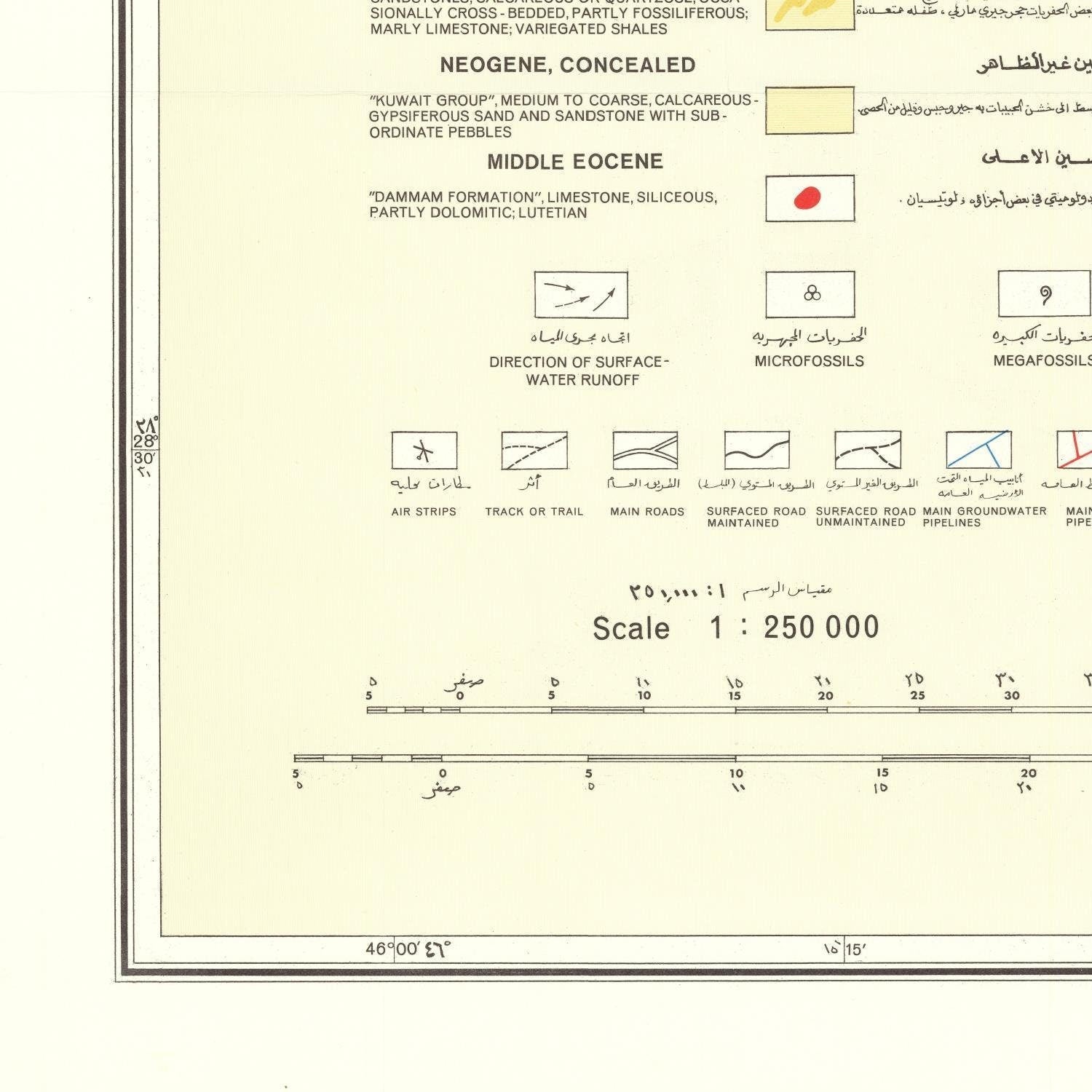
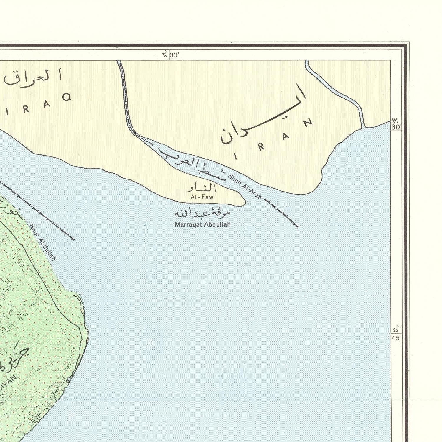
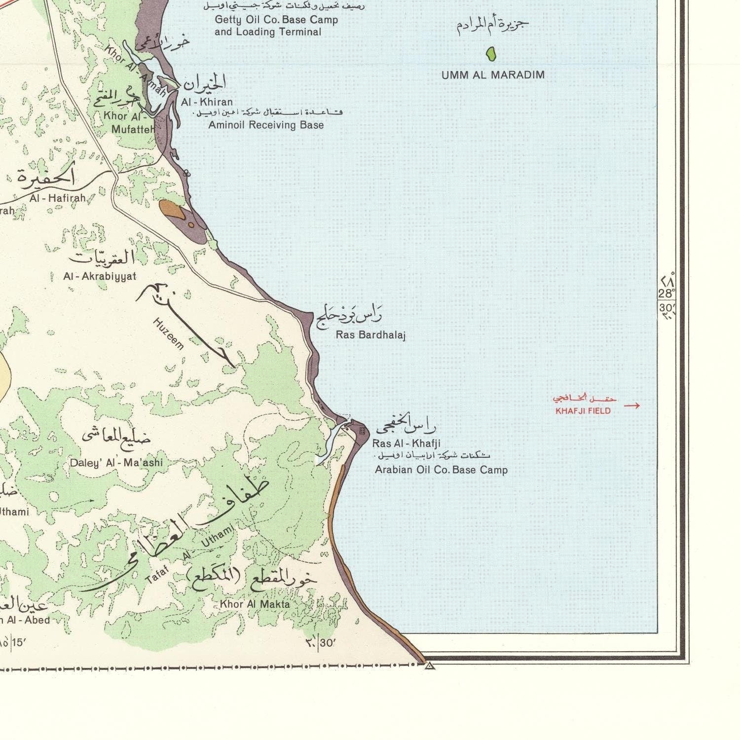
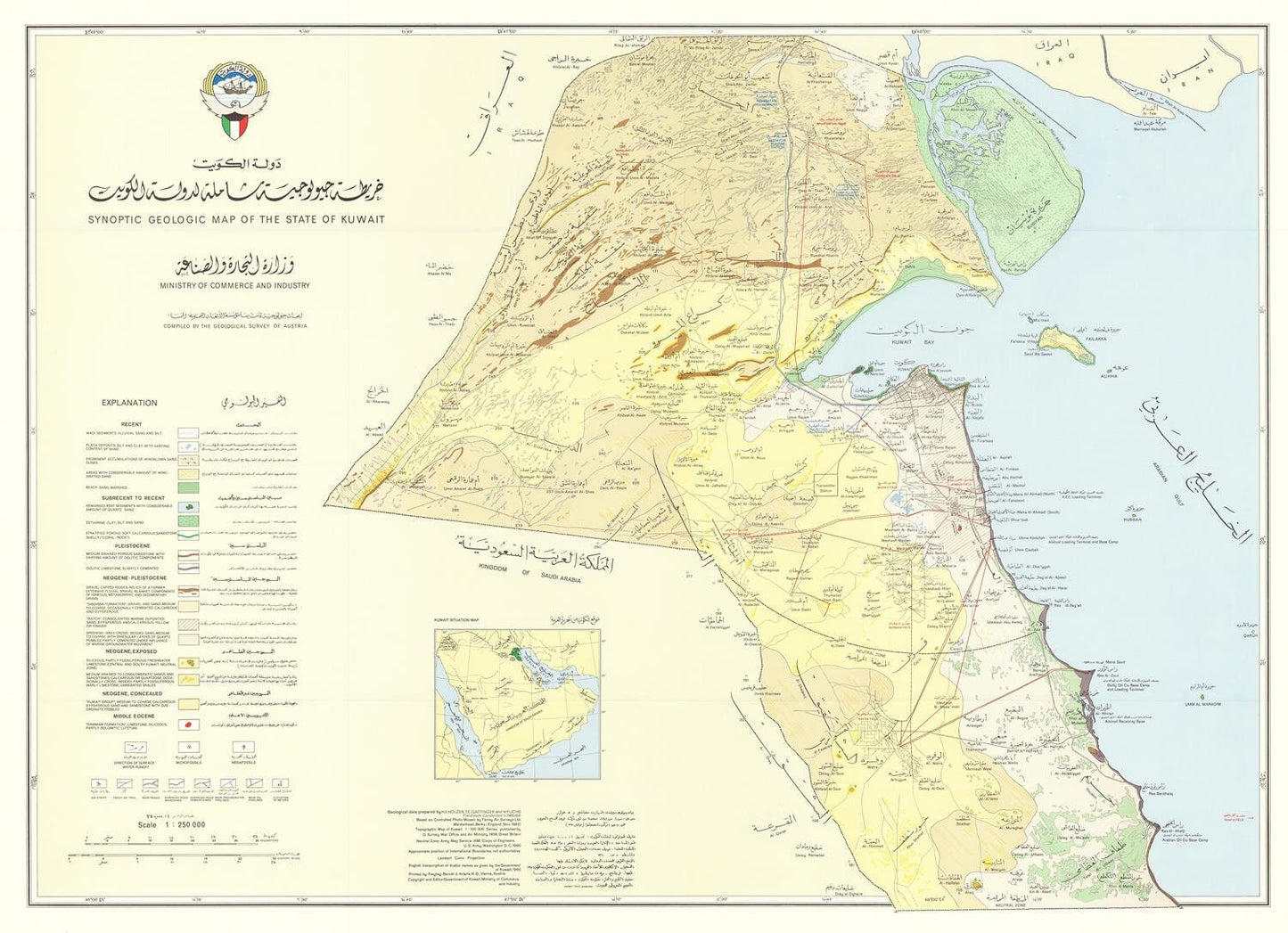
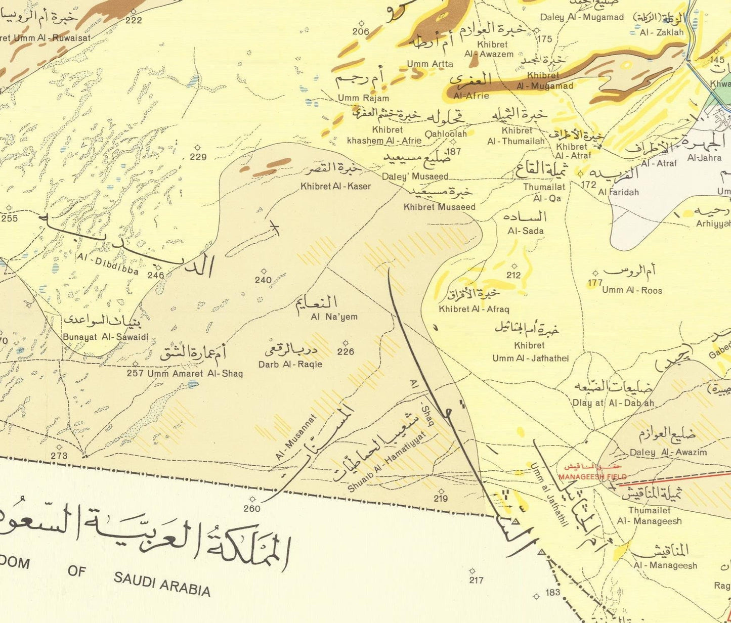
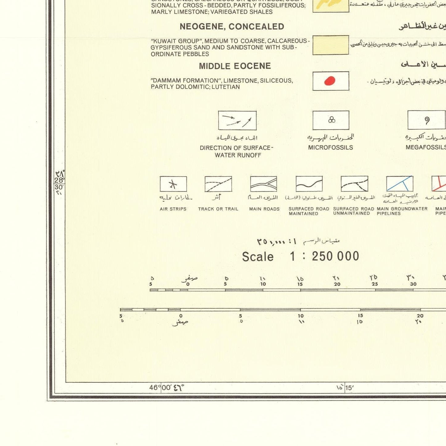
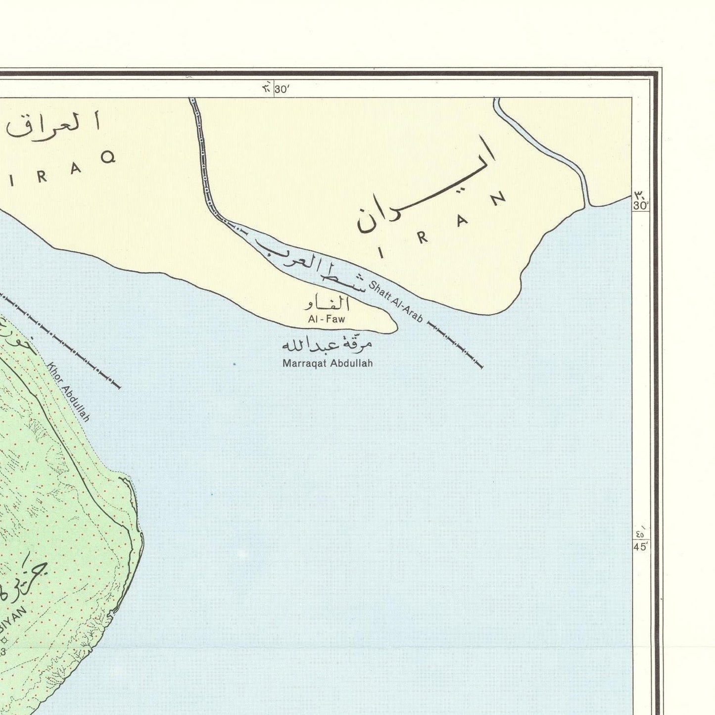
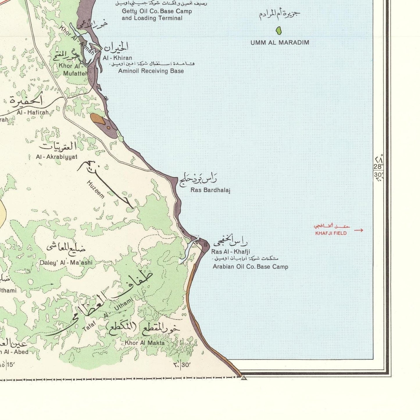
The "[Kharitah jiyulujiyah shamilah li-Dawlat al-Kuwayt]," known as the Synoptic Geologic Map of the State of Kuwait, stands as a pivotal geological revelation. Its emergence in 1966 was the result of a collaborative endeavor between the Ministry of Commerce and Industry of Kuwait and the esteemed Geological Survey of Austria. Crafted with precision, the map elegantly spans the entire expanse of Kuwait, stretching its reach to encompass the offshore domain.
This geographical masterpiece artfully segments Kuwait's geological tapestry into four distinctive provinces, each harboring unique stories etched in rock:
The Ancient Arabian Platform: As the most venerable province, it boasts the grandeur of Precambrian and Paleozoic rocks, offering a glimpse into the ancient epochs that laid the foundation for Kuwait's geological chronicle.
The Mesopotamian Basin: A testament to the Mesozoic era, this sedimentary basin unveils the dynamic forces that shaped Kuwait's geological narrative, showcasing the transformative power of time.
The Youthful Arabian Gulf Coastal Plain: Born during the Cenozoic era, this vibrant sedimentary basin speaks to the Earth's continuous evolution, painting a vivid picture of the forces that sculpted modern Kuwait.
The Enigmatic Kuwait Arch: This structural marvel serves as a natural sentinel, standing tall to divide the ancient Arabian Platform from the evolving Mesopotamian Basin, adding a dramatic touch to the geological canvas.
Of particular significance, the map portrays the distribution of Kuwait's prized oil and gas fields, a critical resource that has significantly shaped the nation's identity.
The Synoptic Geologic Map of the State of Kuwait holds profound importance as a guiding compass for geologists, engineers, and professionals within the oil and gas industry. It unfurls a comprehensive overview of Kuwait's geological essence, uncovering its rich potential for oil and gas extraction, a fact of paramount importance for the nation's energy sector.
Materials
Materials
Cotton canvas, matte photo paper, fine art paper, pigmented inks.
- The canvas it's 99 % cotton, 450 gr/sqm;
- The matte photo paper it's acid-free (archival paper), 190 gr/sqm;
- The fine art photo paper it's satinated (semi-glossy), 140 gr/sqm.
Shipping & Returns
Shipping & Returns
Dispatching time: 1-2 days.
* Standard shipping fee: The orders will be sent by priority registered mail, usually via client National Post (USPS, Canada Post, Royal Mail, LaPoste, Deutsche Post, PostNL, etc). The delivery times are not guaranteed, sometimes it will take longer and these are beyond our control. Tracking number will be provided. Clients from US and Canada cannot track the parcels as the tracking numbers are not rolled in USPS and Canada Post systems.
* UPS standard: The orders will be sent with UPS expedited option. The delivery time it's between 5-11 days. Tracking number will be provided after dispatch.
* UPS express: The orders will be sent with UPS express saver. The delivery time it's between 4-7 days. Tracking number will be provided after dispatch.
Framing tips
Framing tips
Both type of materials, paper and canvas prints come rolled and will be need to be taken to your local framers.
The image it's printed with a border of 0.6 " (1.5 cm), for framing purposes only.
If you have already a frame, be sure you send us the exact size of the print that will fit inside the frame. We're printing on vectorial plotters so the size could slightly be more or less with 0.4" (1 cm).
If you plan to have the canvas print stretched on wooden frame, you'll need additional border, so please let us know after placing the order.
The images above was cropped from the image at the biggest size available (keeping the best quality and aspect /ratio), so, for good details please choose biggest dimensions that will suit your preferences / space.
Care Instructions
Care Instructions
The print media (canvas or photo paper) could be cleaned only with a dry, soft cloth.
Share
Wine maps
Explore the rich history of wine through centuries-old maps. Dive into the heritage, culture, and geography of wine regions with our collection of vintage wine maps.
These meticulously preserved historical treasures offer a window into the evolution of viticulture, showcasing how wine regions have transformed over the centuries.
-
Gastronomic maps
Dive into a world of culinary exploration with our collection of gastronomic maps – your passport to gastronomic adventures like no other. Discover the intricate art of cheese-making and the exquisite world of gourmet delights through our meticulously curated Cheese Maps and Gastronomic Maps.
-
Empires maps
Travel through history as you explore the territorial expanse, conquests, and cultural influences of some of the world's most powerful civilizations. Our antique maps bring the epic tales of empires to life, offering a captivating glimpse into the rise and fall of these extraordinary realms. See all empires maps >
