Kan beschikbaarheid voor afhalen niet laden
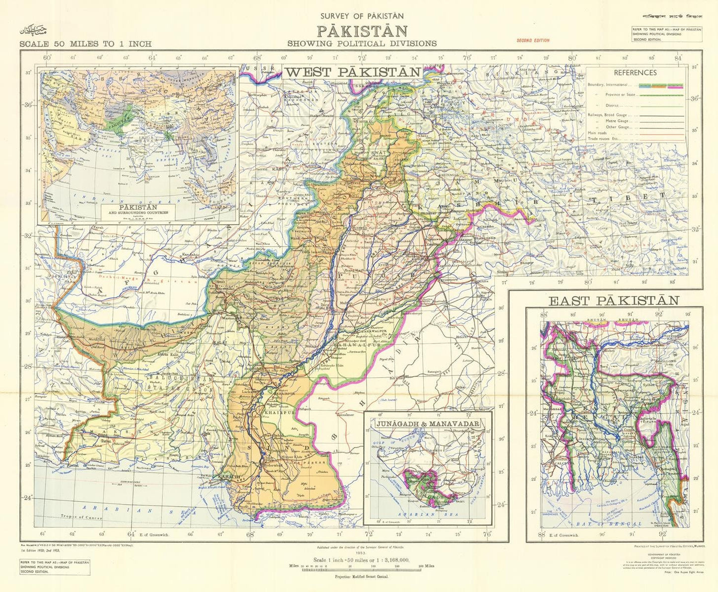
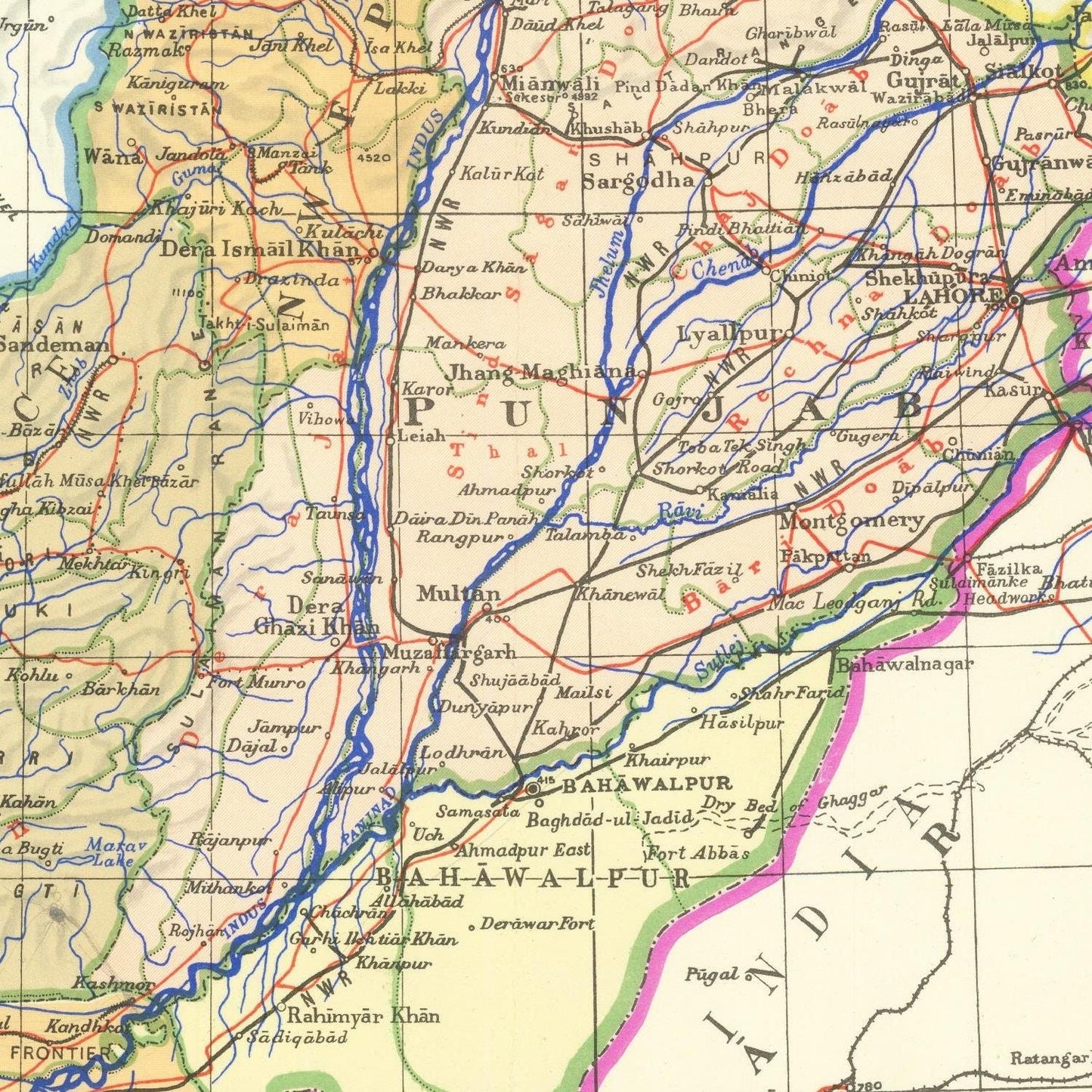
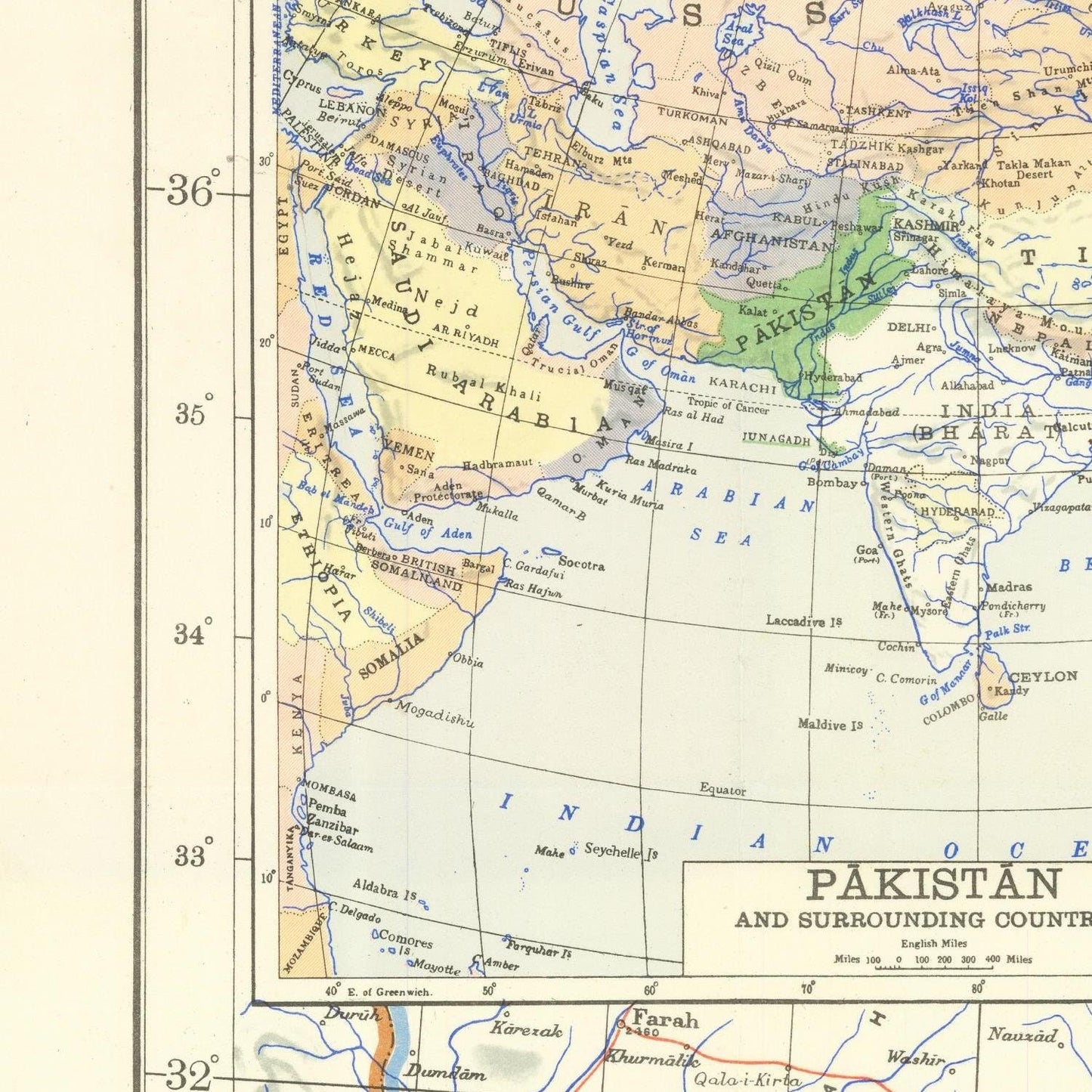
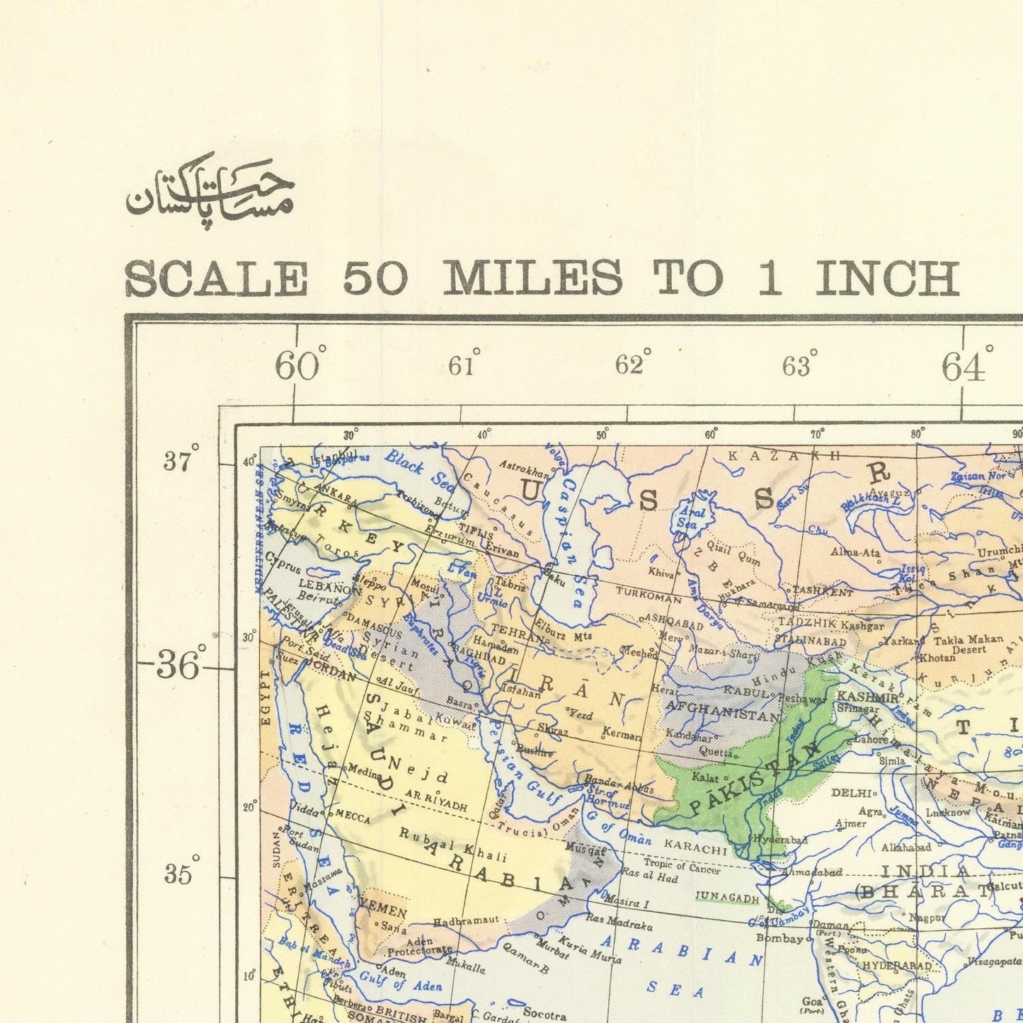
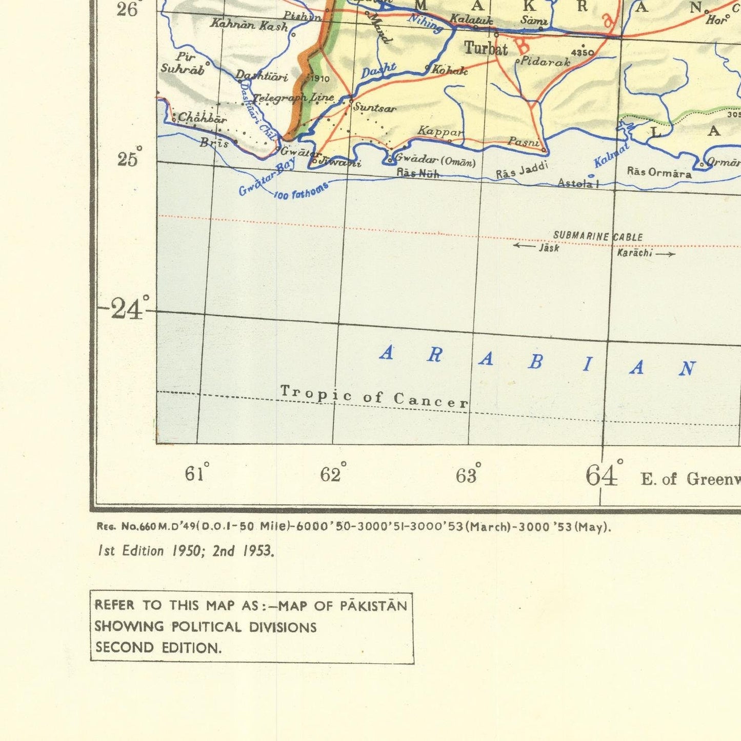
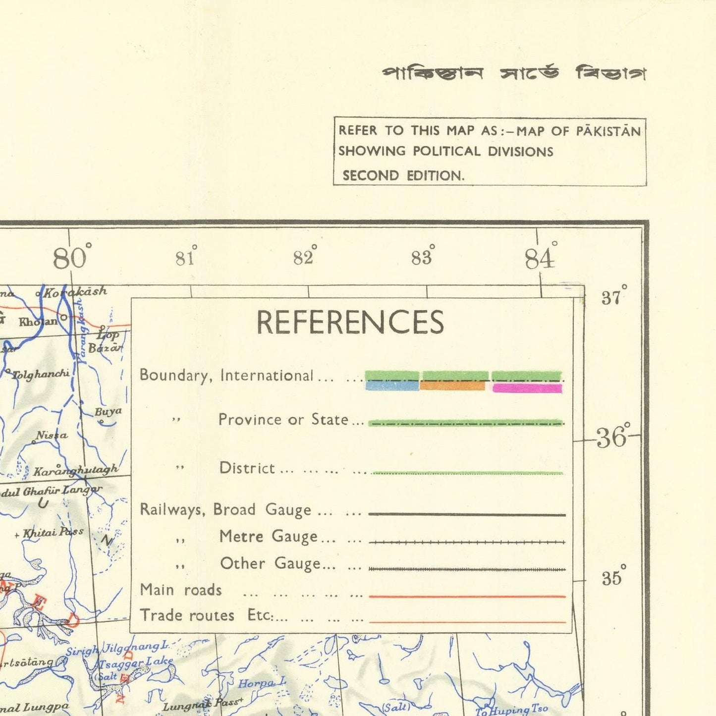
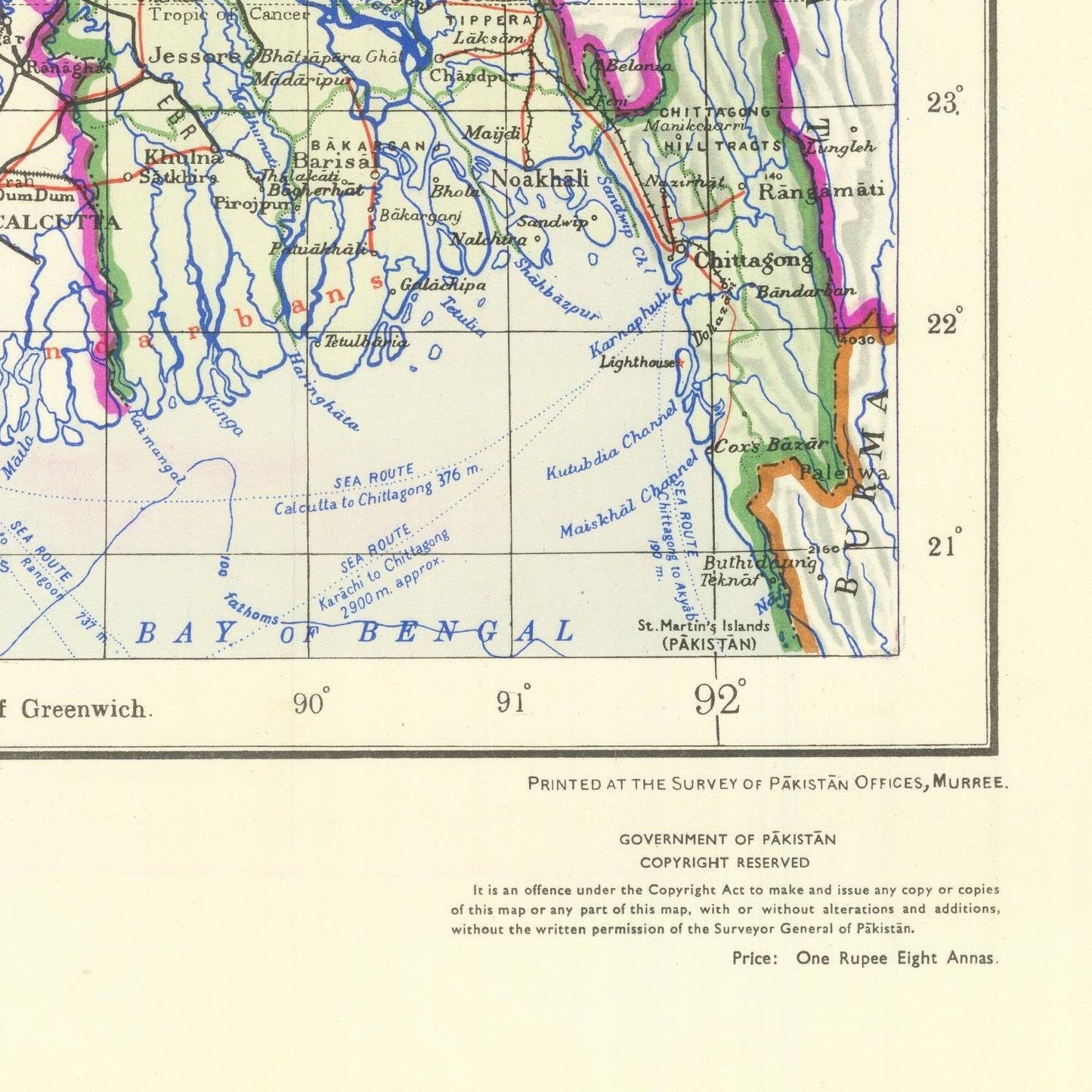
The Survey of Pakistan, a pivotal historical document crafted in 1947 in the wake of Pakistan's independence from British colonial rule, delineates the political landscape of the nascent nation. This monumental survey served to demarcate Pakistan into two primary regions: West Pakistan and East Pakistan. West Pakistan encompassed the provinces of Punjab, Sindh, Balochistan, and Khyber Pakhtunkhwa, while East Pakistan consisted solely of the Bengal province.
This survey of Pakistan, chronicling its political divisions and demographics, serves as an invaluable historical artifact, offering deep insights into the formative years of the nation. It also serves as a stark reminder of the challenges Pakistan encountered while striving to forge a cohesive and united nation.
The accession of the princely states of Junagadh and Manavadar, located in the Kathiawar region of Gujarat, India, into Pakistan in 1947 added another layer of complexity to Pakistan's early years. These states, both under the rule of Hindu maharajas, claimed allegiance to Pakistan upon the nation's formation. Junagadh, the larger of the two, boasted a population exceeding one million, while Manavadar was smaller with around 100,000 residents.
The accession of these states, however, proved highly controversial. The Hindu maharajas asserted that their populations were predominantly Muslim and wished to join Pakistan. Yet, in Junagadh, the majority of the populace was Hindu, and in Manavadar, it was primarily Jain.
India raised vehement objections to the accession of these states to Pakistan, contending that the maharajas lacked the authority to accede their territories without the consent of their people. Furthermore, India argued that geographically, Junagadh and Manavadar were integral parts of India and should not be permitted to join Pakistan.
The contentious issue of Junagadh and Manavadar's accession was ultimately brought before the United Nations. In 1948, the UN Security Council passed a resolution, stipulating a referendum in Junagadh to determine its destiny, whether to align with India or Pakistan. In 1949, the referendum took place, revealing the majority of Junagadh's population favored joining India. Consequently, Junagadh was integrated into India.
The situation with Manavadar saw a quicker resolution, as its maharaja agreed to accede to India in 1948, bypassing the need for a referendum. Thus, Manavadar merged with India.
The accession of Junagadh and Manavadar into Pakistan marked a multifaceted and contentious episode in Pakistan's early history, underlining the trials and tribulations the nation faced in its quest for unity. The subsequent resolutions and agreements resolved the immediate dispute, yet they left behind a legacy of bitterness and mistrust between India and Pakistan that continues to influence their relationship to this day.
Materials
Materials
Cotton canvas, matte photo paper, fine art paper, pigmented inks.
- The canvas it's 99 % cotton, 450 gr/sqm;
- The matte photo paper it's acid-free (archival paper), 190 gr/sqm;
- The fine art photo paper it's satinated (semi-glossy), 140 gr/sqm.
Shipping & Returns
Shipping & Returns
Dispatching time: 1-2 days.
* Standard shipping fee: The orders will be sent by priority registered mail, usually via client National Post (USPS, Canada Post, Royal Mail, LaPoste, Deutsche Post, PostNL, etc). The delivery times are not guaranteed, sometimes it will take longer and these are beyond our control. Tracking number will be provided. Clients from US and Canada cannot track the parcels as the tracking numbers are not rolled in USPS and Canada Post systems.
* UPS standard: The orders will be sent with UPS expedited option. The delivery time it's between 5-11 days. Tracking number will be provided after dispatch.
* UPS express: The orders will be sent with UPS express saver. The delivery time it's between 4-7 days. Tracking number will be provided after dispatch.
Framing tips
Framing tips
Both type of materials, paper and canvas prints come rolled and will be need to be taken to your local framers.
The image it's printed with a border of 0.6 " (1.5 cm), for framing purposes only.
If you have already a frame, be sure you send us the exact size of the print that will fit inside the frame. We're printing on vectorial plotters so the size could slightly be more or less with 0.4" (1 cm).
If you plan to have the canvas print stretched on wooden frame, you'll need additional border, so please let us know after placing the order.
The images above was cropped from the image at the biggest size available (keeping the best quality and aspect /ratio), so, for good details please choose biggest dimensions that will suit your preferences / space.
Care Instructions
Care Instructions
The print media (canvas or photo paper) could be cleaned only with a dry, soft cloth.
Share
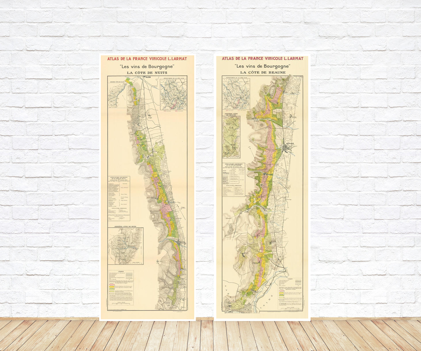
Wine maps
Explore the rich history of wine through centuries-old maps. Dive into the heritage, culture, and geography of wine regions with our collection of vintage wine maps.
These meticulously preserved historical treasures offer a window into the evolution of viticulture, showcasing how wine regions have transformed over the centuries.
-
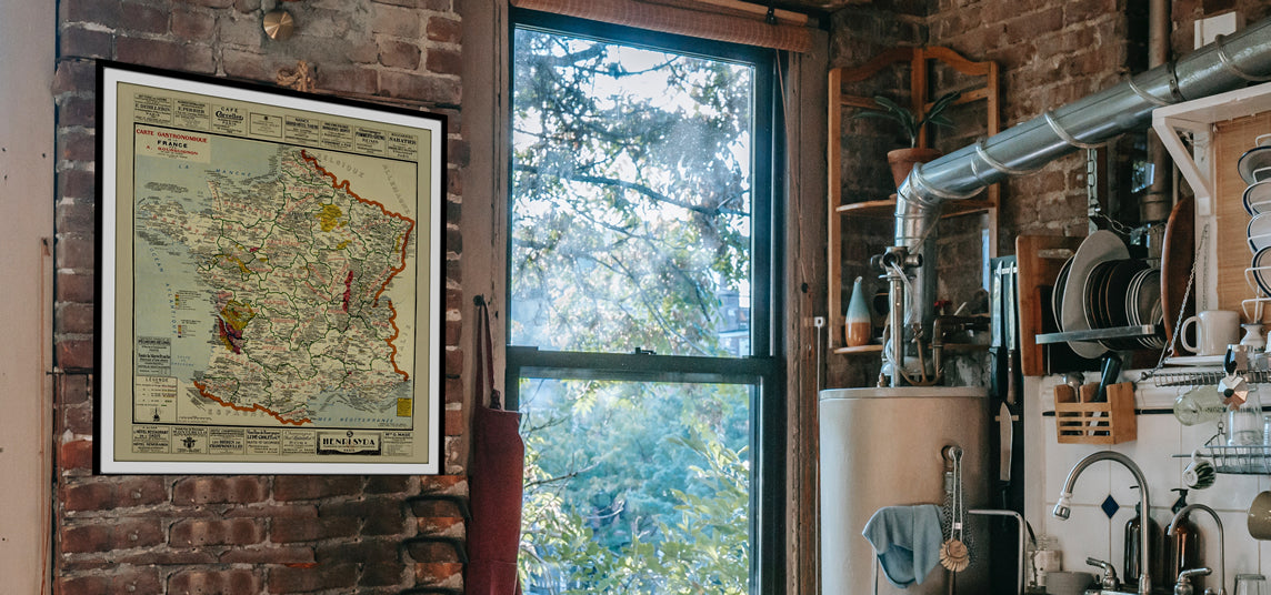
Gastronomic maps
Dive into a world of culinary exploration with our collection of gastronomic maps – your passport to gastronomic adventures like no other. Discover the intricate art of cheese-making and the exquisite world of gourmet delights through our meticulously curated Cheese Maps and Gastronomic Maps.
-
Empires maps
Travel through history as you explore the territorial expanse, conquests, and cultural influences of some of the world's most powerful civilizations. Our antique maps bring the epic tales of empires to life, offering a captivating glimpse into the rise and fall of these extraordinary realms. See all empires maps >
