Ga direct naar productinformatie
1 van 7

Old pictorial map of London, 1895

SKU:  195536

Old pictorial map of London, 1895

Normale prijs €77,35 EUR
Normale prijs Aanbiedingsprijs €77,35 EUR
Aanbieding Uitverkocht
Inclusief btw. Verzendkosten worden berekend bij de checkout.

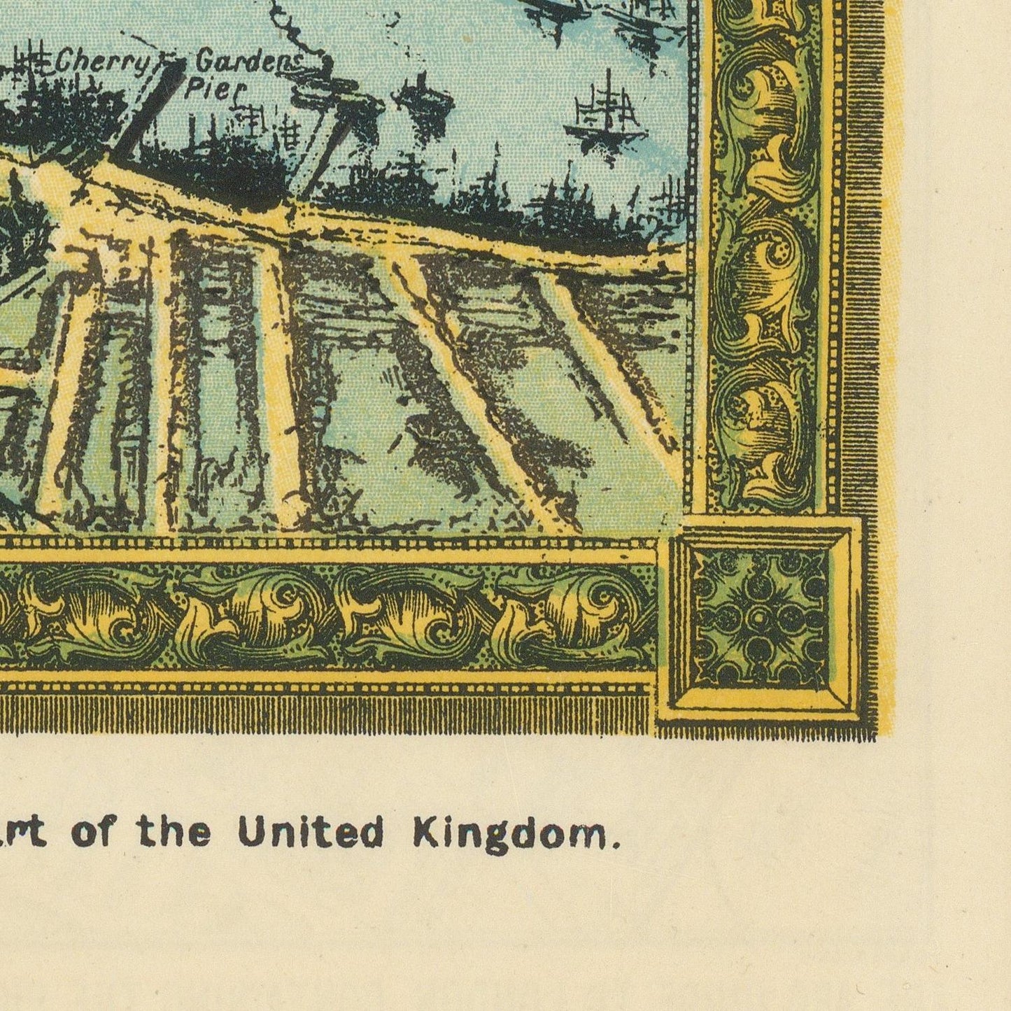
Charles Baker’s London Towards the Close of the 19th Century – The Pictorial Plan of London, published in 1895, is a richly detailed historical representation of London during the final years of the Victorian era. Combining cartographic information with pictorial elements, the work presents the capital as a vast and rapidly expanding metropolis at the height of Britain’s industrial, commercial, and imperial power.

The plan illustrates the extraordinary scale of late nineteenth-century London, identifying an extensive network of streets, squares, railways, parks, waterways, public institutions, commercial districts, and residential neighborhoods. The River Thames remains a dominant geographical feature, linking the historic center with the increasingly industrial and maritime districts to the east and the expanding suburbs beyond the traditional core.

One of the plan’s greatest attractions is its ability to demonstrate the transformation of London during the Victorian period. The arrival and expansion of railways and underground transportation had fundamentally changed the structure of the city, allowing enormous numbers of workers and residents to travel between the central districts and newly developing suburban communities. Major railway termini and transportation corridors appear as essential components of the metropolitan landscape.

The title’s reference to London “towards the close of the 19th century” is particularly appropriate. By 1895, London had become one of the world's largest cities and the center of a global empire. Areas such as Westminster and the City of London remained dominated by government, finance, and historic institutions, while the East End contained major docks, warehouses, factories, and working-class neighborhoods. Elegant residential districts and extensive parks further demonstrate the remarkable social and architectural contrasts of the Victorian capital.

The pictorial character of the plan makes it more than a functional map. It serves as a visual portrait of London, recording the city's geography while conveying the density, complexity, and energy of the metropolis.

Materials

Cotton canvas, matte photo paper, fine art paper, pigmented inks.

  • The canvas it's 99 % cotton, 450 gr/sqm;
  • The matte photo paper it's acid-free (archival paper), 190 gr/sqm;
  • The fine art photo paper it's satinated (semi-glossy), 140 gr/sqm.

Shipping & Returns

Dispatching time: 1-2 days.

* Standard shipping fee: The orders will be sent by priority registered mail, usually via client National Post (USPS, Canada Post, Royal Mail, LaPoste, Deutsche Post, PostNL, etc). The delivery times are not guaranteed, sometimes it will take longer and these are beyond our control. Tracking number will be provided. Clients from US and Canada cannot track the parcels as the tracking numbers are not rolled in USPS and Canada Post systems.

UPS standard: The orders will be sent with UPS expedited option. The delivery time it's between 5-11 days. Tracking number will be provided after dispatch.

UPS express: The orders will be sent with UPS express saver. The delivery time it's between 4-7 days. Tracking number will be provided after dispatch.

Framing tips

Both type of materials, paper and canvas prints come rolled and will be need to be taken to your local framers.

The image it's printed with a border of 0.6 " (1.5 cm), for framing purposes only.

If you have already a frame, be sure you send us the exact size of the print that will fit inside the frame. We're printing on vectorial plotters so the size could slightly be more or less with 0.4" (1 cm).

If you plan to have the canvas print stretched on wooden frame, you'll need additional border, so please let us know after placing the order.

The images above was cropped from the image at the biggest size available (keeping the best quality and aspect /ratio), so, for good details please choose biggest dimensions that will suit your preferences / space.

Care Instructions

The print media (canvas or photo paper) could be cleaned only with a dry, soft cloth.

Alle details bekijken

Wine maps

Explore the rich history of wine through centuries-old maps. Dive into the heritage, culture, and geography of wine regions with our collection of vintage wine maps.

These meticulously preserved historical treasures offer a window into the evolution of viticulture, showcasing how wine regions have transformed over the centuries.

  • Gastronomic maps

    Dive into a world of culinary exploration with our collection of gastronomic maps – your passport to gastronomic adventures like no other. Discover the intricate art of cheese-making and the exquisite world of gourmet delights through our meticulously curated Cheese Maps and Gastronomic Maps.

  • Empires maps

    Travel through history as you explore the territorial expanse, conquests, and cultural influences of some of the world's most powerful civilizations. Our antique maps bring the epic tales of empires to life, offering a captivating glimpse into the rise and fall of these extraordinary realms. See all empires maps >